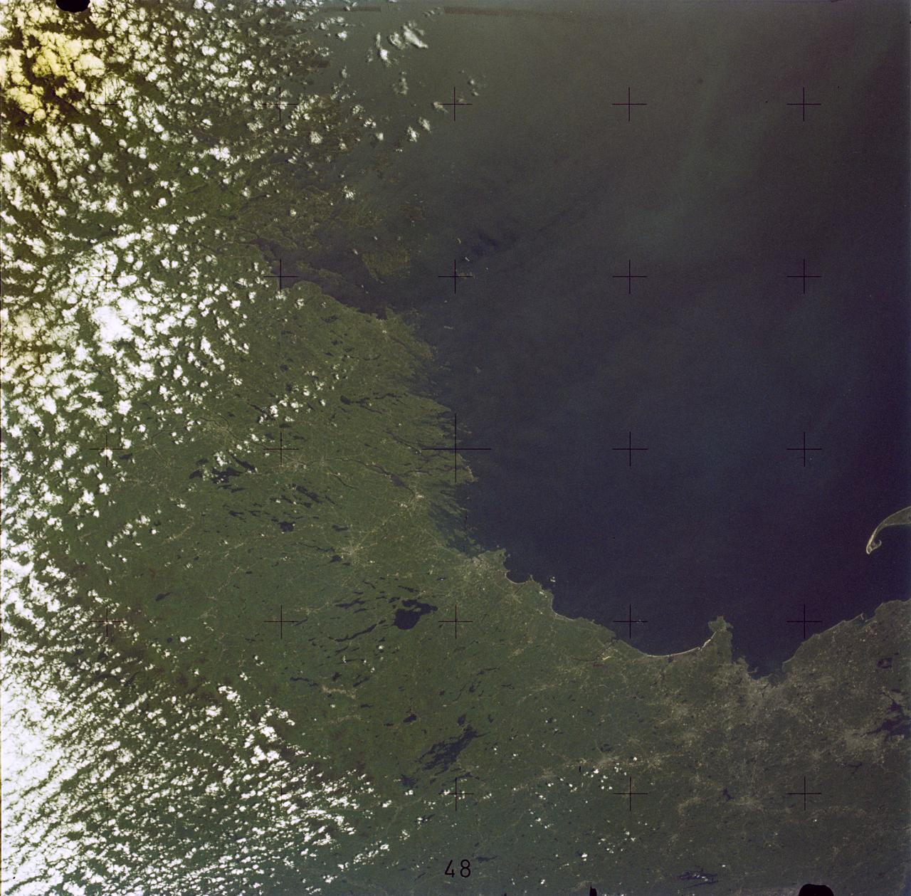
Boston, MA and New England Coastline
SL2-05-381 (22 June 1973) --- Boston, MA and the New England Coastline (43.5N, 84.0W) can be seen in this view. The typical rugged rocky coast of Maine is the result of heavy glacial action producing the rocky cliffs, jagged spurs of land and islands that characterize Main's Atlantic Coast. During the last Ice Age, extensive sediments were laid down producing a landscape of rolling hills with rocky outcrops. Photo credit: NASA
- Date
- 1973-06-22
- Collection
- JSC
- Archive
- NASA Image and Video Library
- Type
- photograph
Public domainsafest
Reason: a NASA work: not copyrighted in the United States.
Read from: NASA media usage guidelines: NASA material is not copyrighted in the US unless noted; no third-party credit or mark found.
Credit line
"Boston, MA and New England Coastline" (1973-06-22). NASA/JSC. Public domain. https://images.nasa.gov/details/sl2-05-381Need photos for a whole script? Add Find Any Photo to Claude and ask for this one by its id: 15143.
More like this
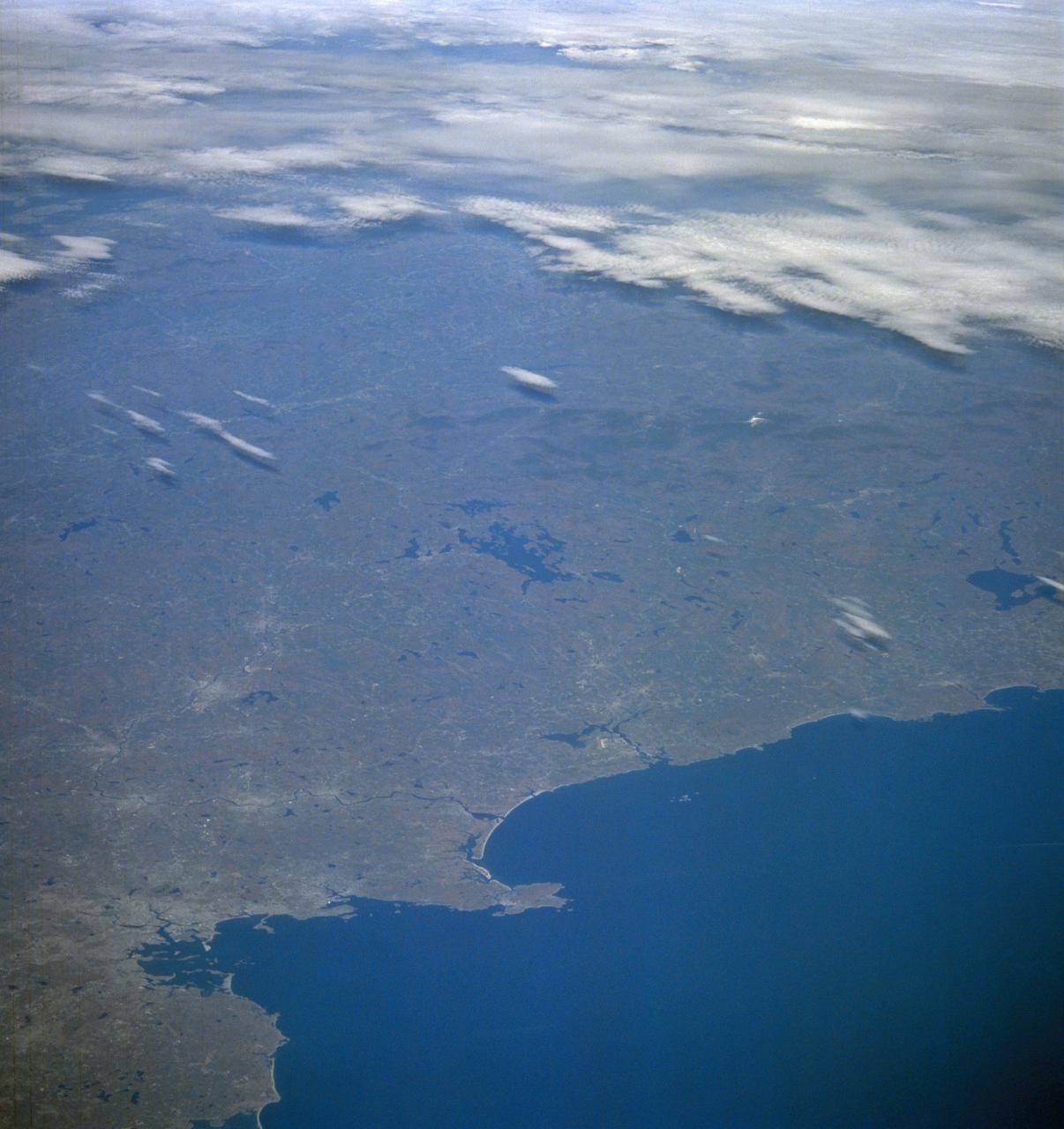
New England from Boston to Lake Champlain and up to southern Main from STS-58
1993-10-30 · NASA Image and Video Library
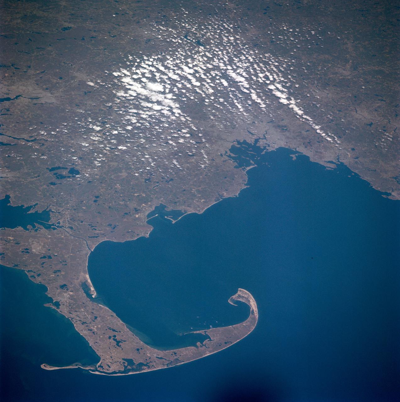
Massachusetts, Cape Cod
1981-04-14 · NASA Image and Video Library
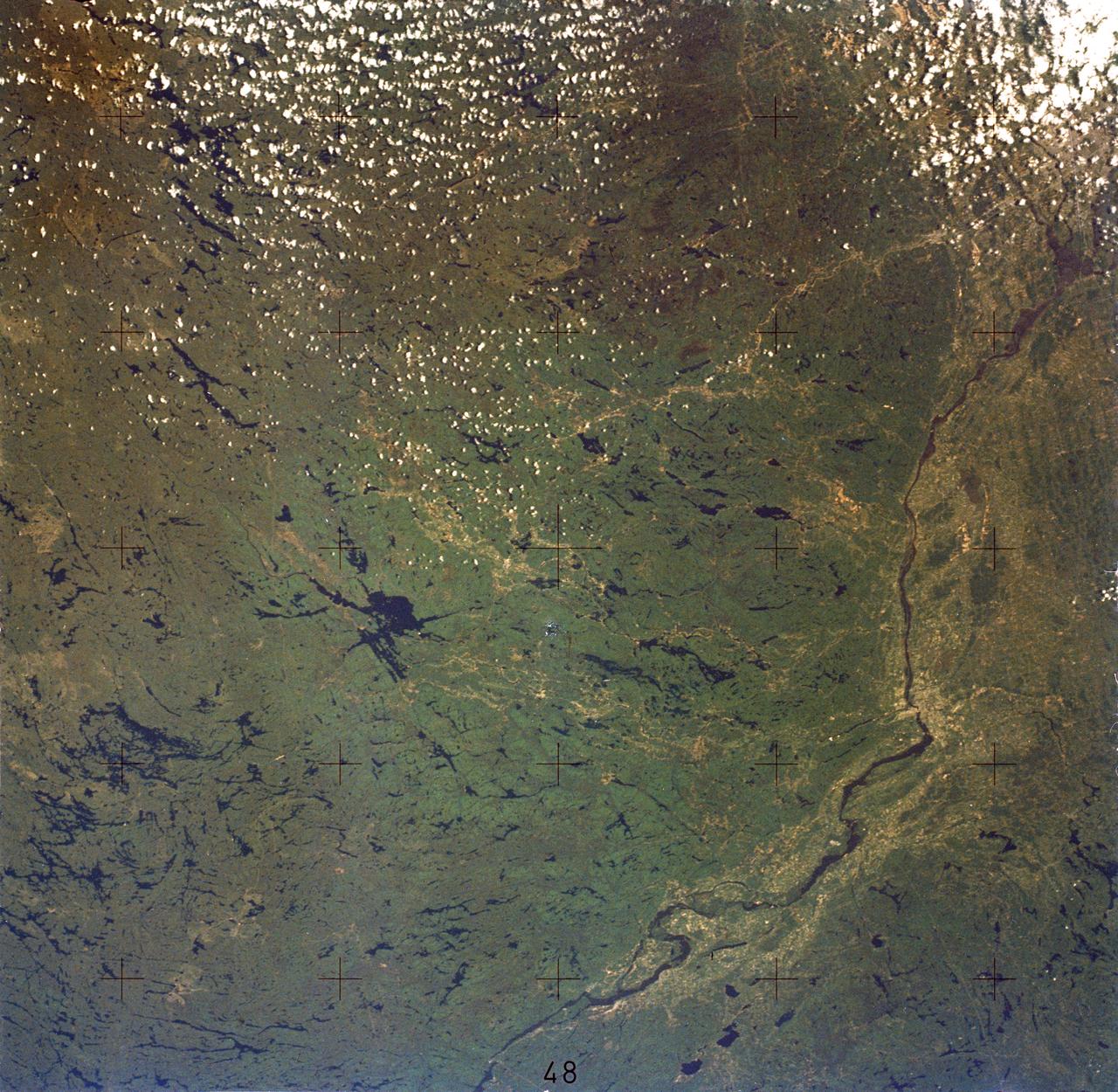
Ottawa, Quebec Province, Canada and Glaciated Landscape
1973-06-22 · NASA Image and Video Library
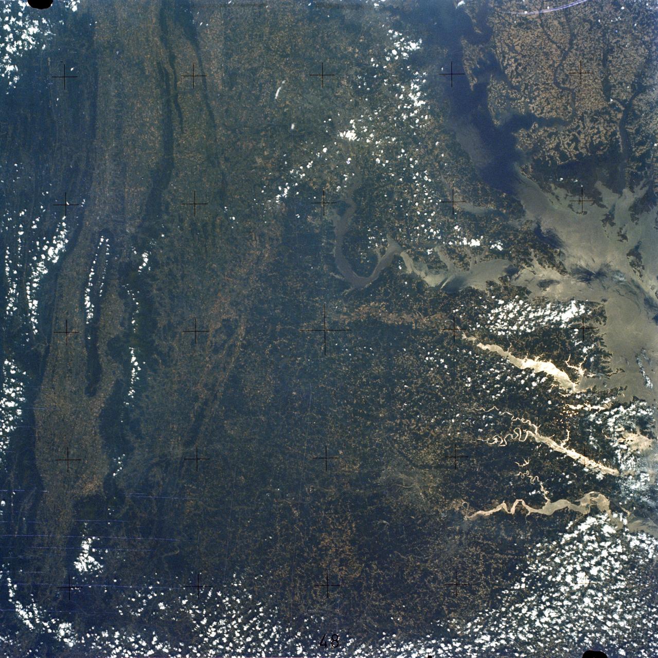
Chesapeake Bay, Potomac River
1973-06-22 · NASA Image and Video Library

Detroit, MI, Toledo, OH and Lake Erie
1973-06-22 · NASA Image and Video Library
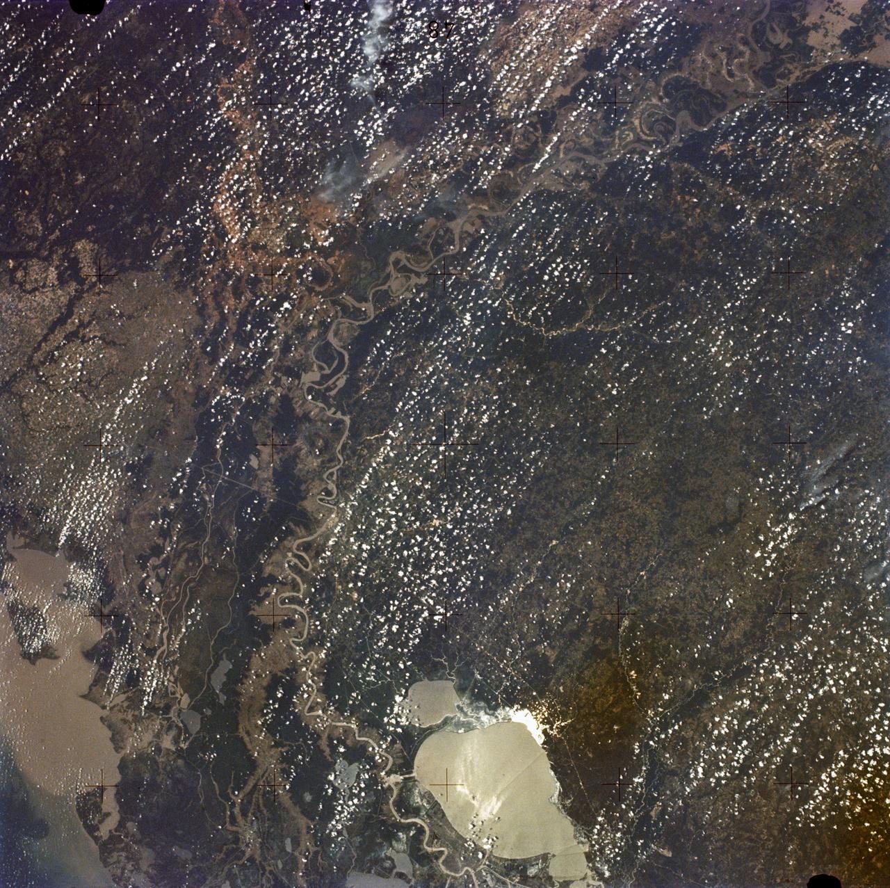
New Orleans, Louisiana, Mississippi River, and Lake Pontchartrain
1973-06-22 · NASA Image and Video Library
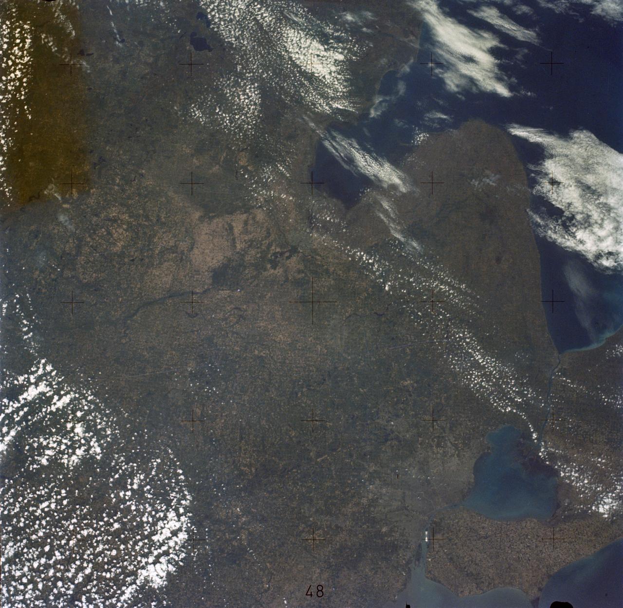
Detroit and the Lower Peninsula of Michigan
1973-06-22 · NASA Image and Video Library
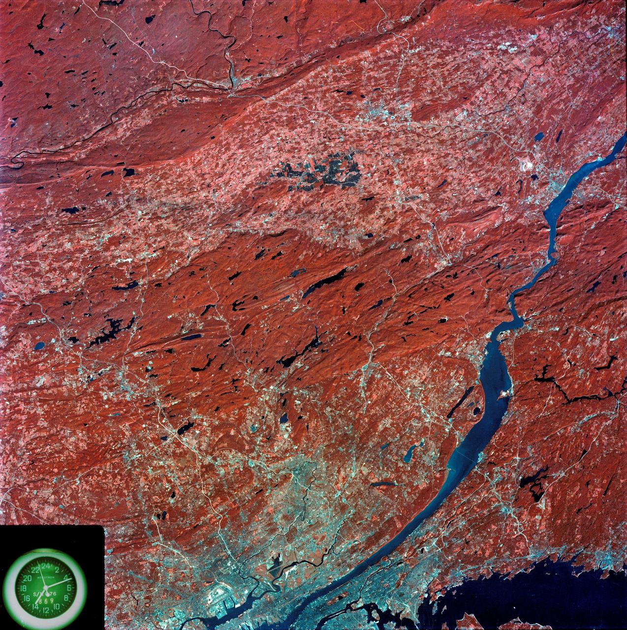
View of southeastern New York State
1973-08-15 · NASA Image and Video Library