
New Orleans area as seen from the Apollo 7 spacecraft
The greater New Orleans area, including portions of Louisiana and Mississippi, as seen from the Apollo 7 spacecraft during its 120th revolution of the earth. Photographed from an altitude of 95 nautical miles, at ground elapsed time of 190 hours and 45 minutes. The largest body of water in the picture is Lake Pontchartrain. The Mississippi River is clearly visible as it meanders past New Orleans. Note highway network, and 25-mile causeway across lake.
- Date
- 1968-10-19
- Collection
- JSC
- Archive
- NASA Image and Video Library
- Type
- photograph
Public domainsafest
Reason: a NASA work: not copyrighted in the United States.
Read from: NASA media usage guidelines: NASA material is not copyrighted in the US unless noted; no third-party credit or mark found.
Credit line
"New Orleans area as seen from the Apollo 7 spacecraft" (1968-10-19). NASA/JSC. Public domain. https://images.nasa.gov/details/as07-08-1917Need photos for a whole script? Add Find Any Photo to Claude and ask for this one by its id: 15205.
More like this
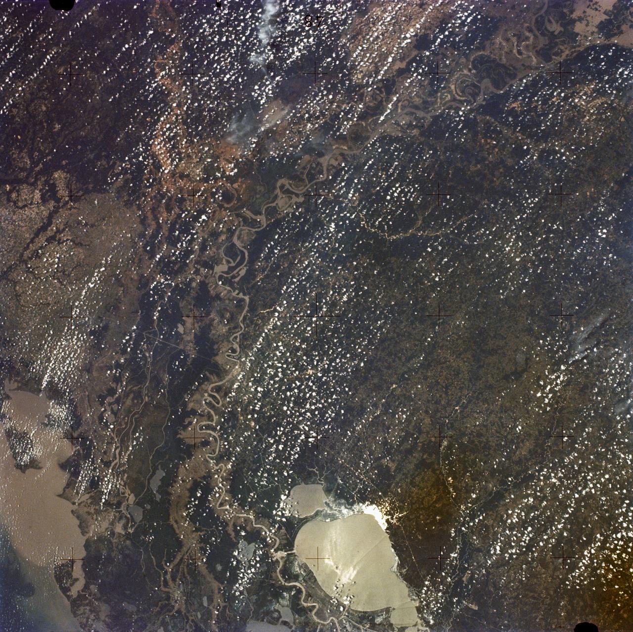
New Orleans, Louisiana, Mississippi River, and Lake Pontchartrain
1973-06-22 · NASA Image and Video Library
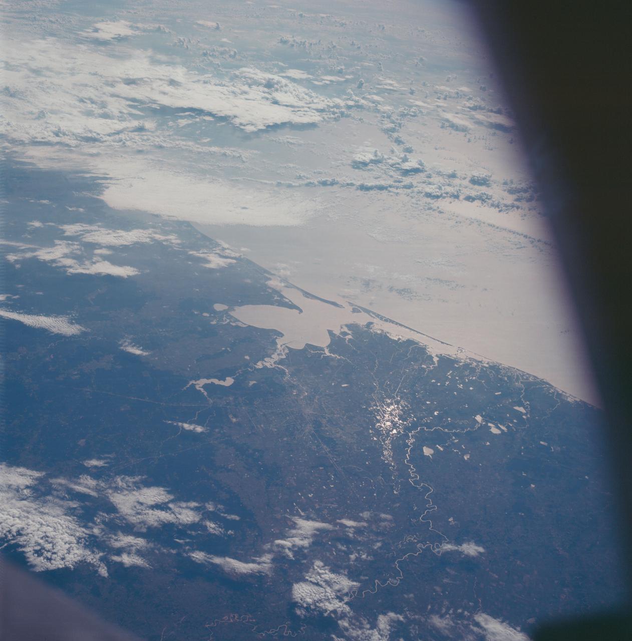
Houston, Texas and Gulf Coast area as seen from the Apollo 7 spacecraft
1968-10-15 · NASA Image and Video Library
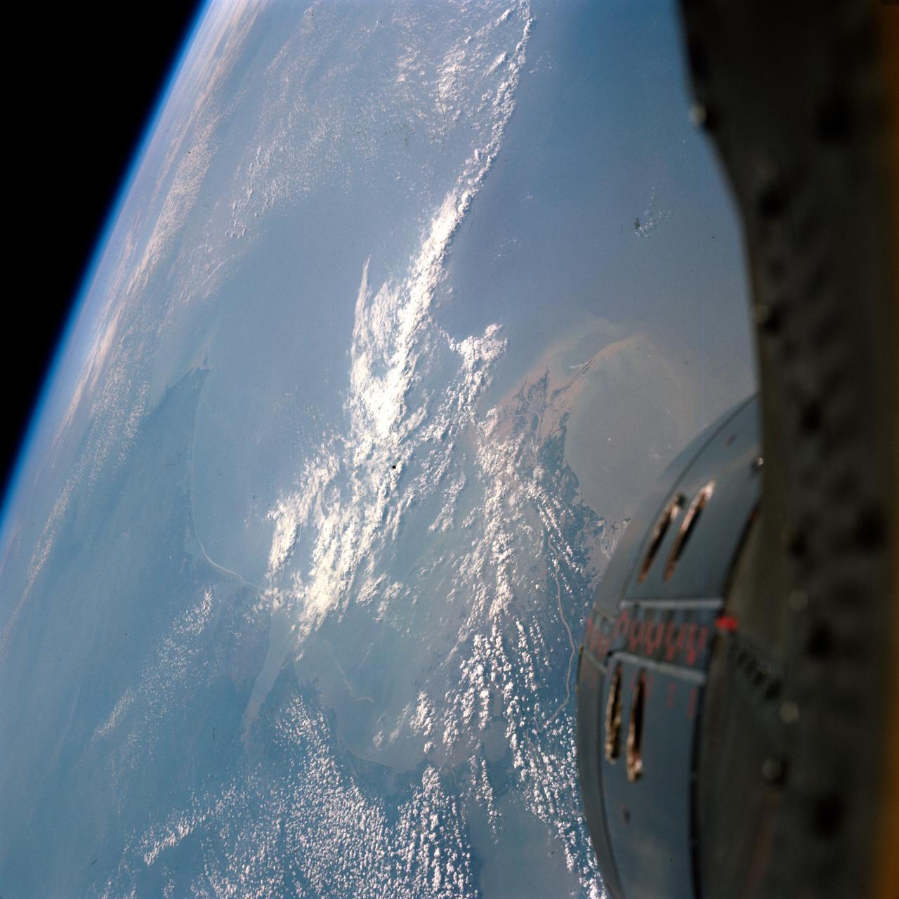
GEMINI-TITAN (GT)-9A - EARTH-SKY VIEW - NEW ORLEANS - OUTER SPACE
1966-06-03 · NASA Image and Video Library
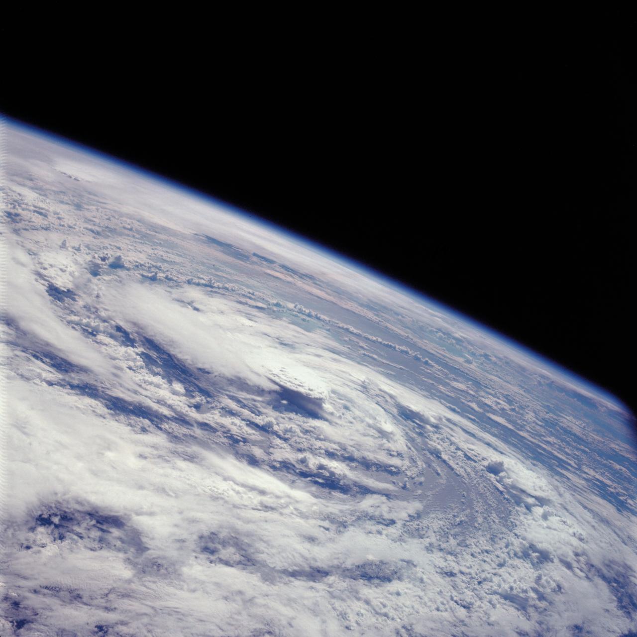
Hurricane Gladys, Gulf of Mexico as seen from the Apollo 7 spacecraft
1968-10-17 · NASA Image and Video Library
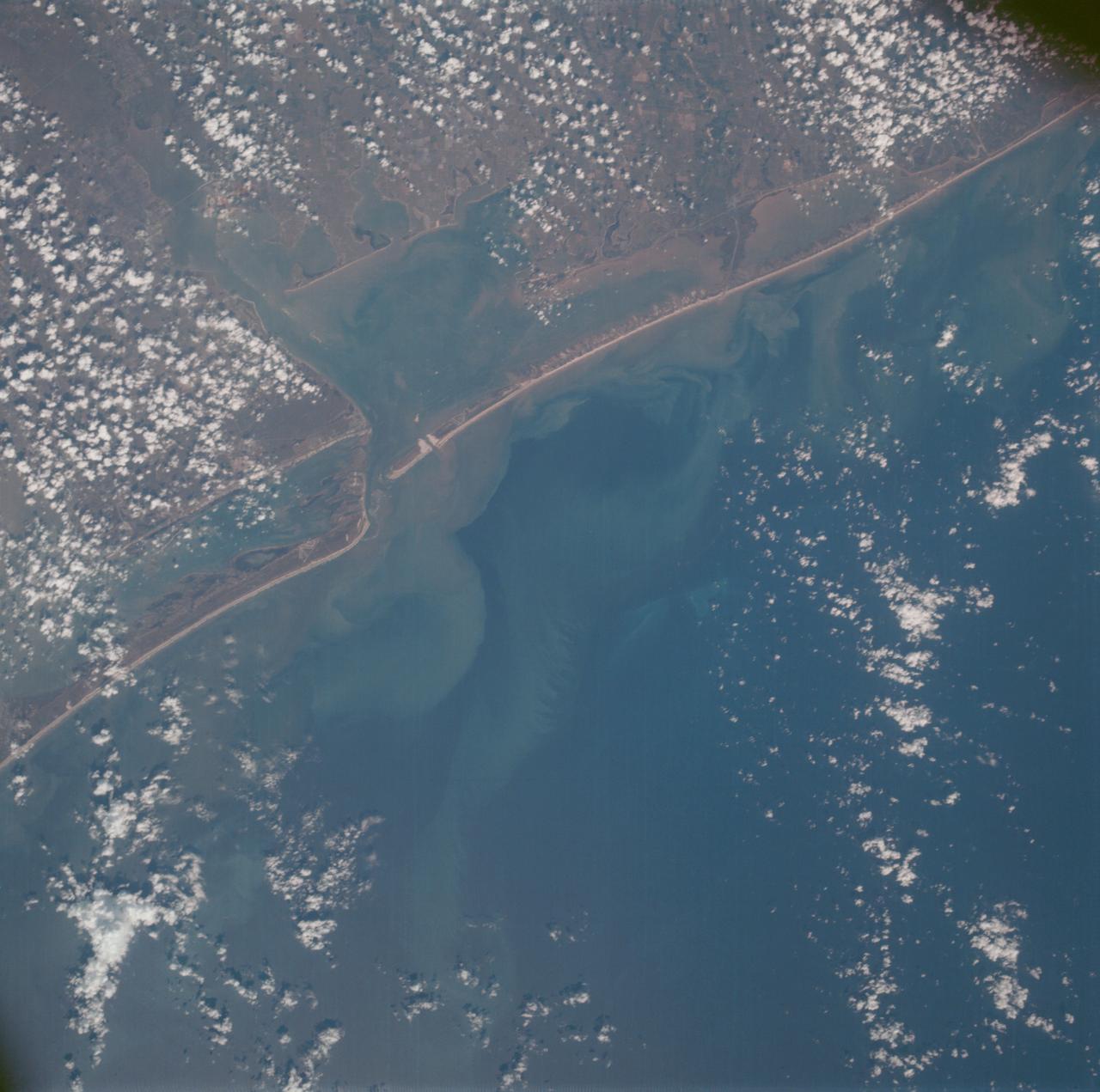
Matagorda Bay, Gulf Coast of Texas as seen from the Apollo 7 spacecraft
1968-10-15 · NASA Image and Video Library
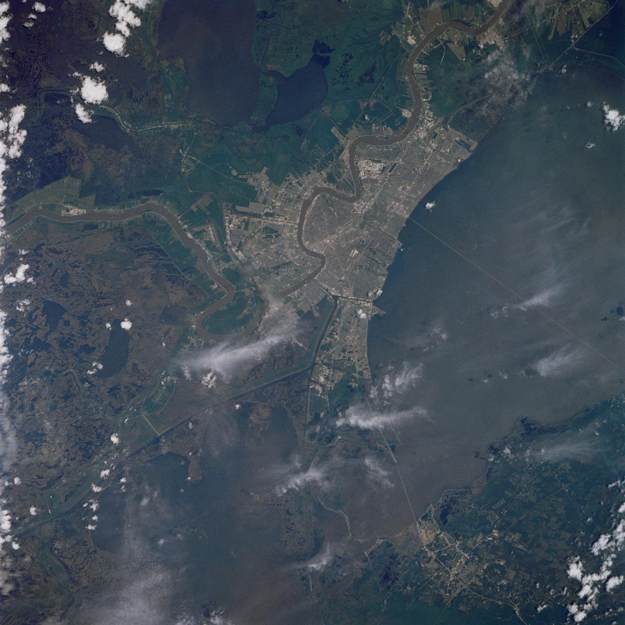
New Orleans, Louisiana
1989-05-08 · NASA Image and Video Library
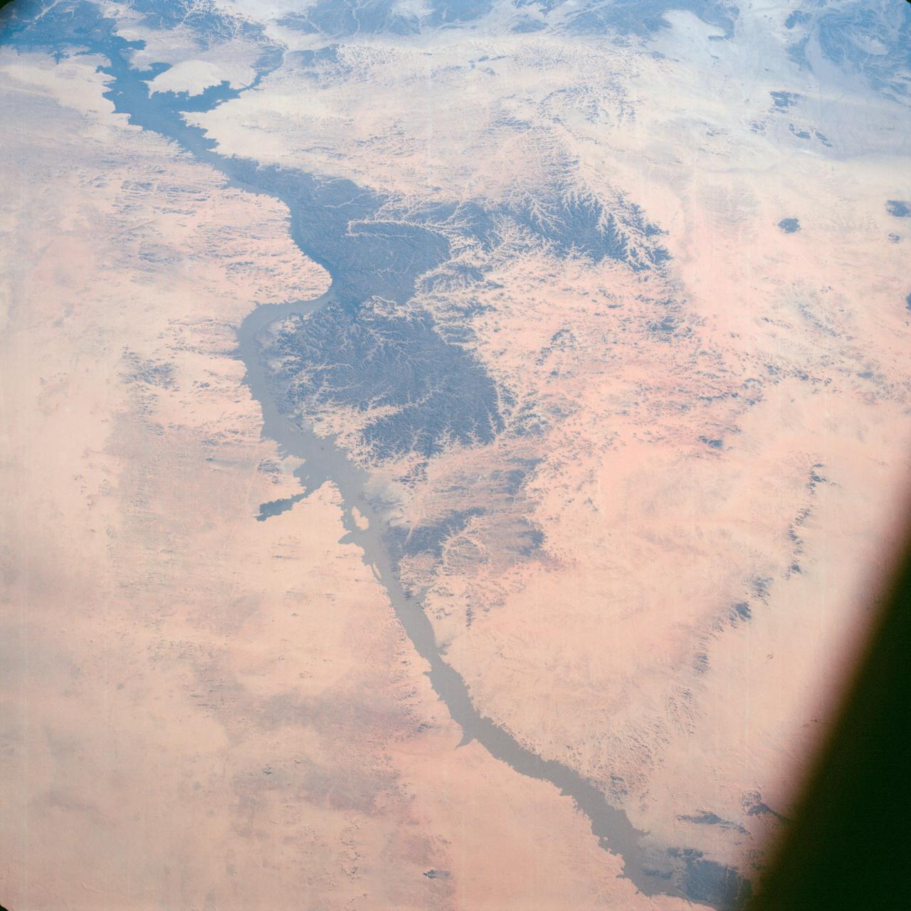
Lake Nasser on Nile River in Egypt as seen from the Apollo 7 spacecraft
1968-10-12 · NASA Image and Video Library
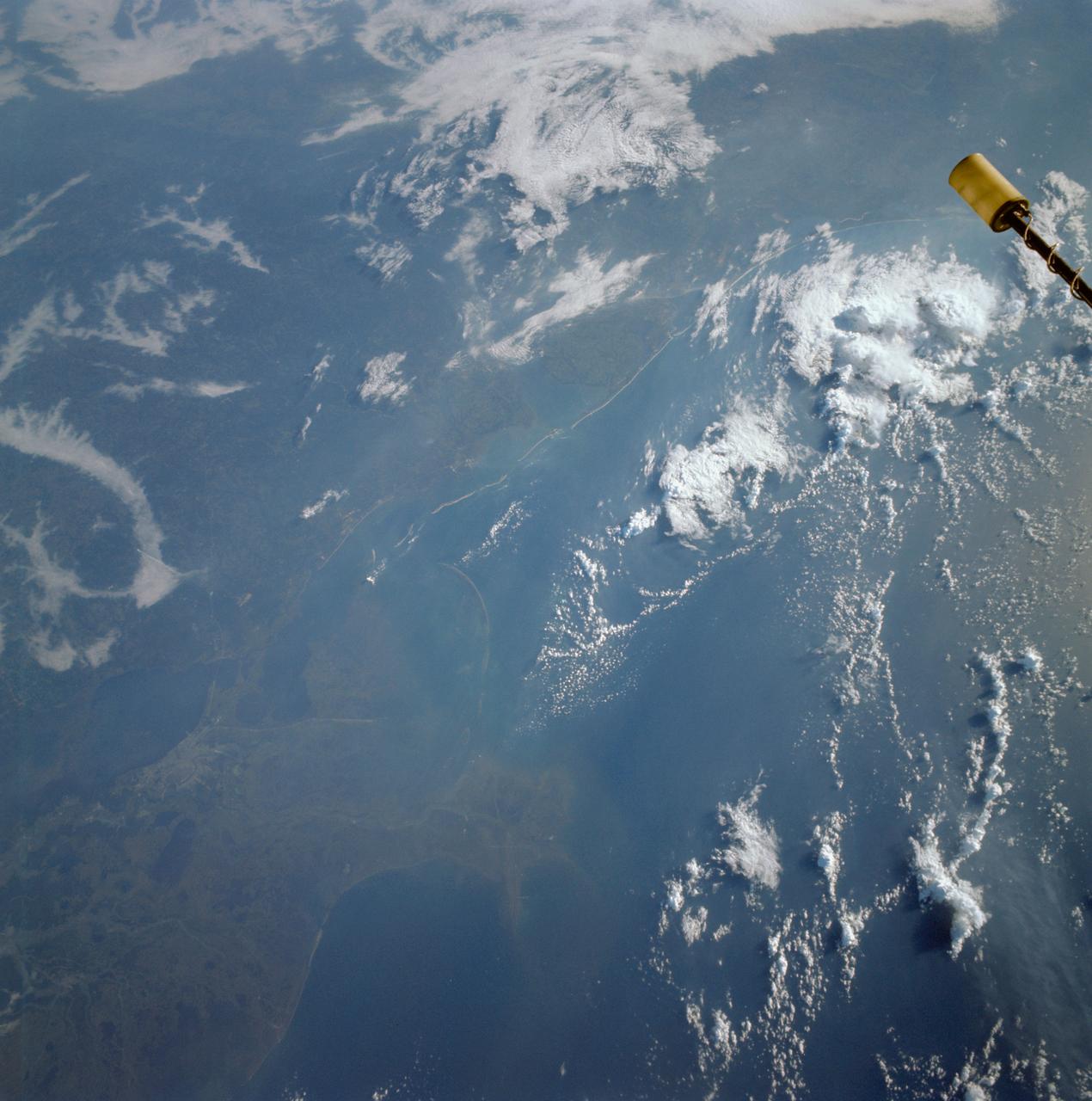
Gulf Coast from from Atchafalaya Bay to Apalachicola seen from Gemini 11
1966-09-14 · NASA Image and Video Library