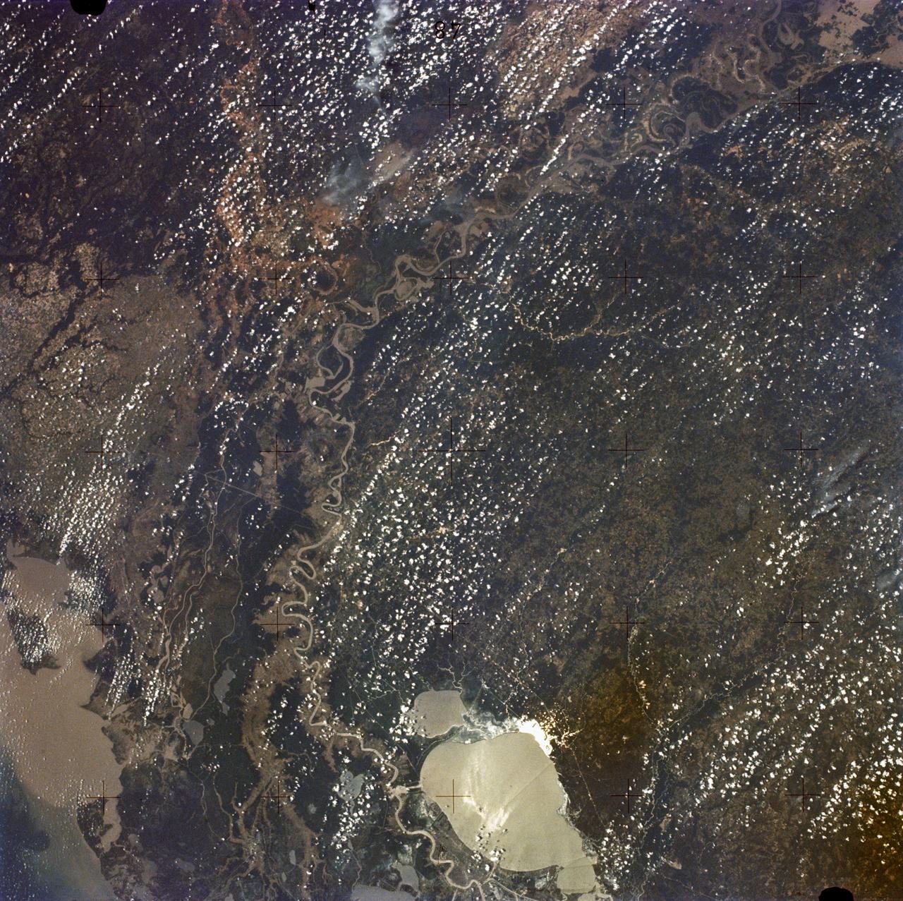
New Orleans, Louisiana, Mississippi River, and Lake Pontchartrain
SL2-05-397 (22 June 1973) --- New Orleans, Louisiana, Mississippi River, and Lake Pontchartrain (31.0N, 91.0W) can all be seen in this single detailed view. The marshlands of the Atchafalaya Basin, previously the main drainage way for the Mississippi River, can be seen to be partially silted as a result of sediments. The long narrow field patterns fronting on the river is called the "Long Lot" system of equal land distribution based on the French Napoleonic Civil Code. Photo credit: NASA
- Date
- 1973-06-22
- Collection
- JSC
- Archive
- NASA Image and Video Library
- Type
- photograph
Public domainsafest
Reason: a NASA work: not copyrighted in the United States.
Read from: NASA media usage guidelines: NASA material is not copyrighted in the US unless noted; no third-party credit or mark found.
Credit line
"New Orleans, Louisiana, Mississippi River, and Lake Pontchartrain" (1973-06-22). NASA/JSC. Public domain. https://images.nasa.gov/details/sl2-05-397Need photos for a whole script? Add Find Any Photo to Claude and ask for this one by its id: 15350.
More like this
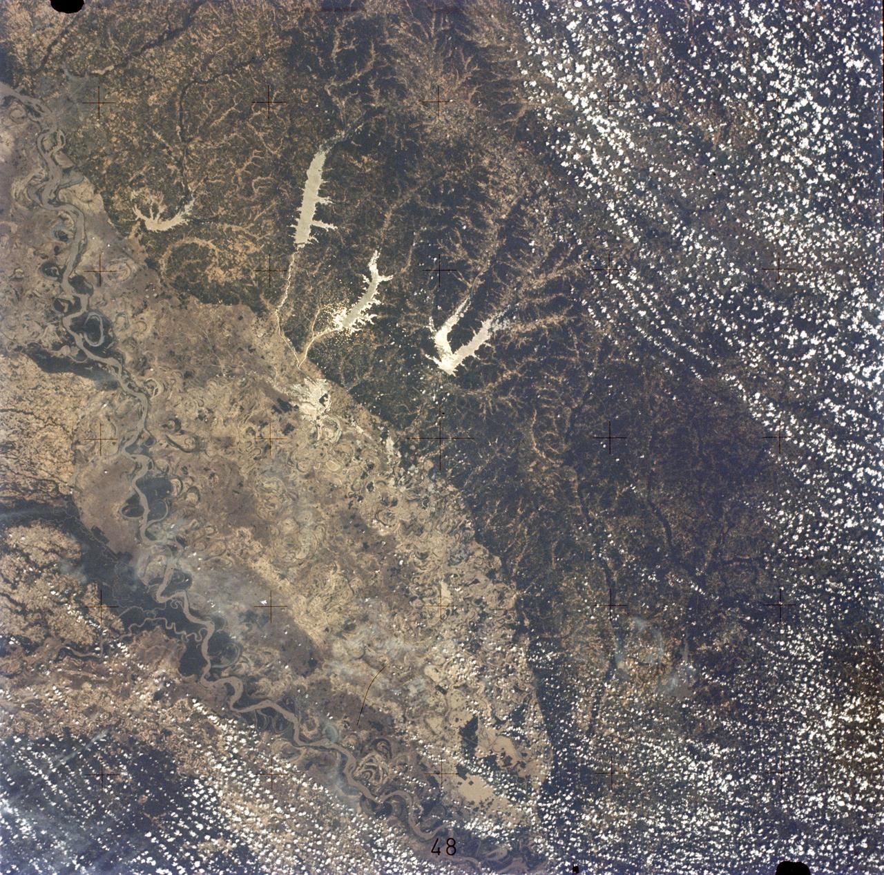
Mississippi River, Yazoo Basin, Memphis, TN
1973-06-22 · NASA Image and Video Library
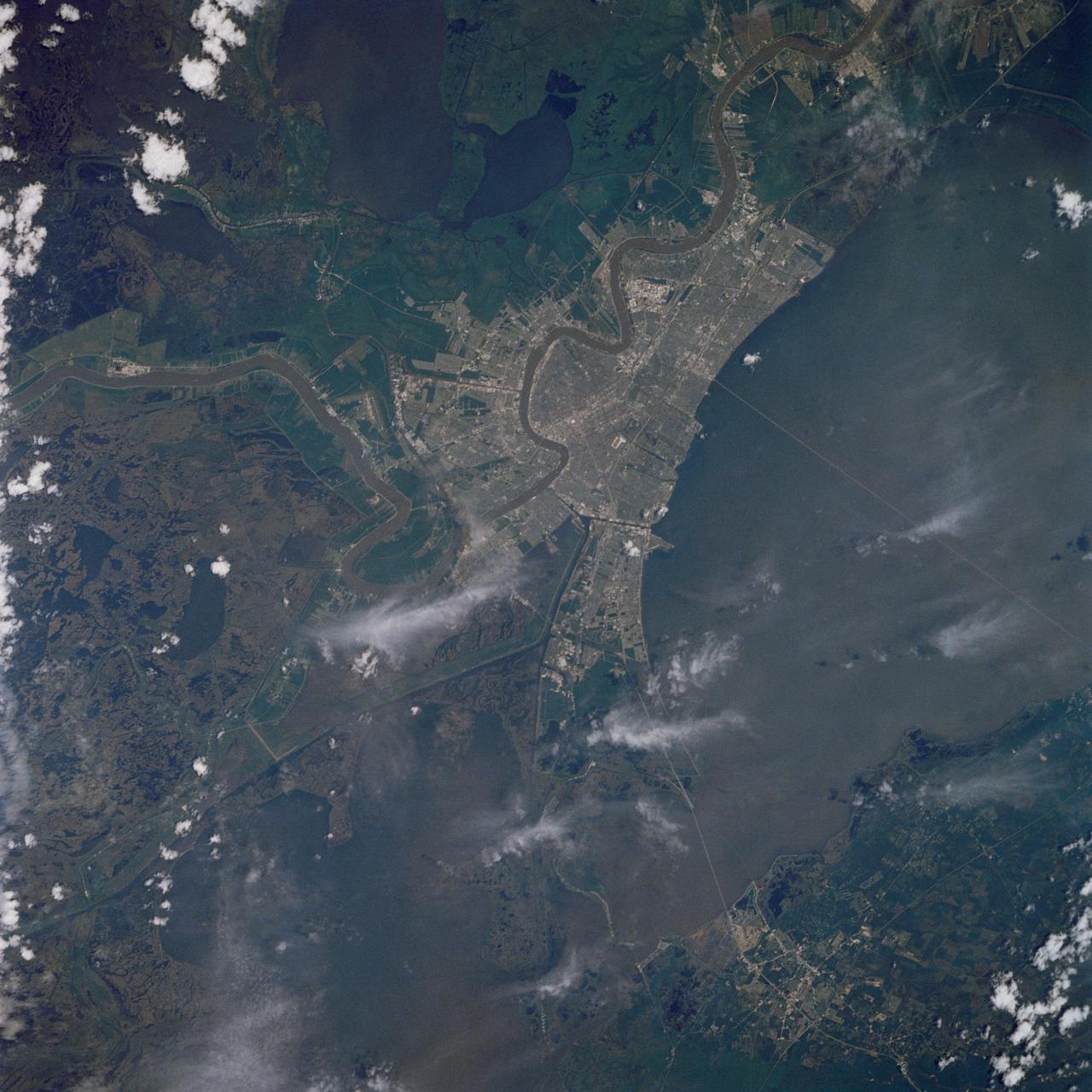
New Orleans, Louisiana
1989-05-08 · NASA Image and Video Library

New Orleans area as seen from the Apollo 7 spacecraft
1968-10-19 · NASA Image and Video Library
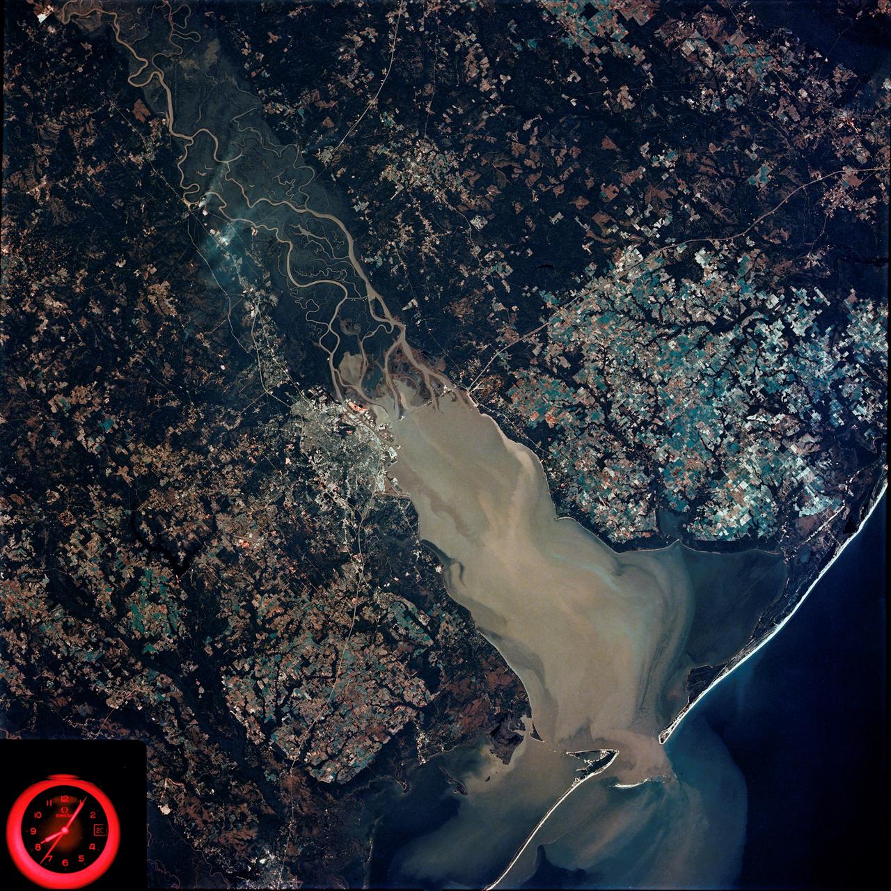
Mobile Bay, Alabama area seen in Skylab 4 Earth Resources Experiment Package
1974-02-01 · NASA Image and Video Library
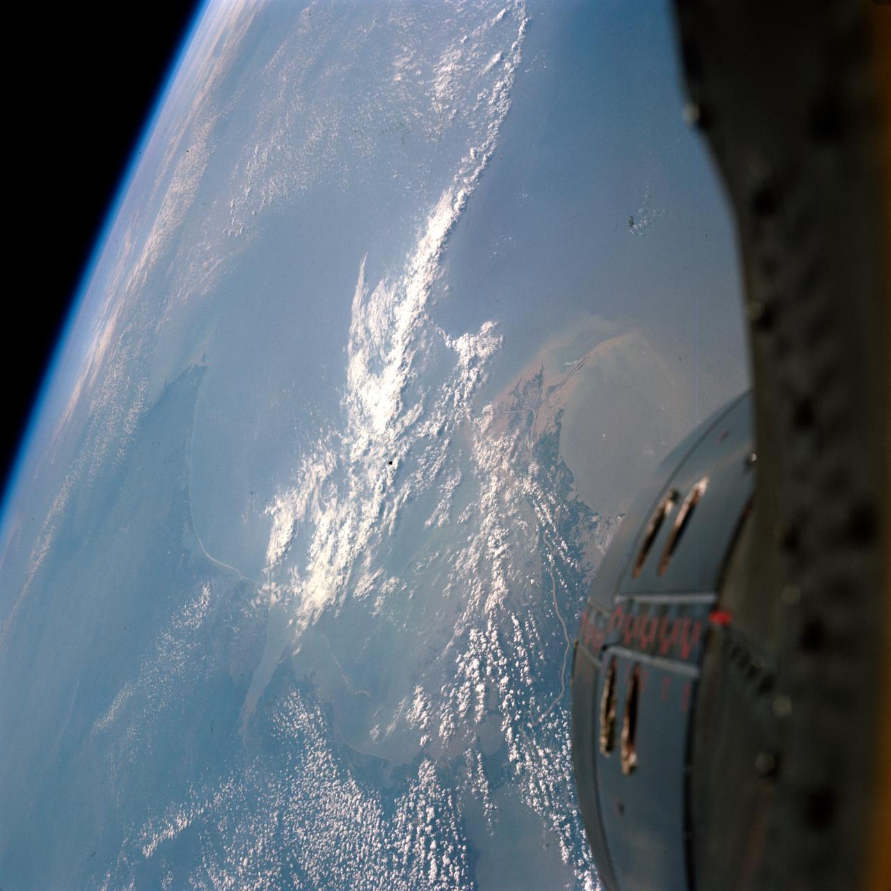
GEMINI-TITAN (GT)-9A - EARTH-SKY VIEW - NEW ORLEANS - OUTER SPACE
1966-06-03 · NASA Image and Video Library
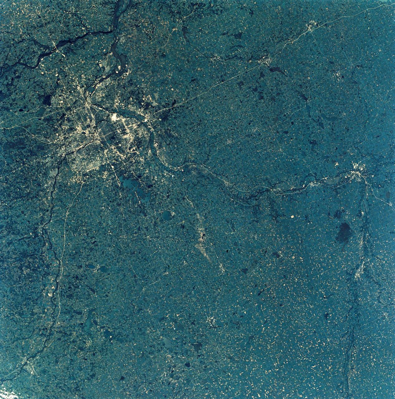
View of Minneapolis-St.Paul, Minnesota area
1973-08-30 · NASA Image and Video Library

Detroit, MI, Toledo, OH and Lake Erie
1973-06-22 · NASA Image and Video Library
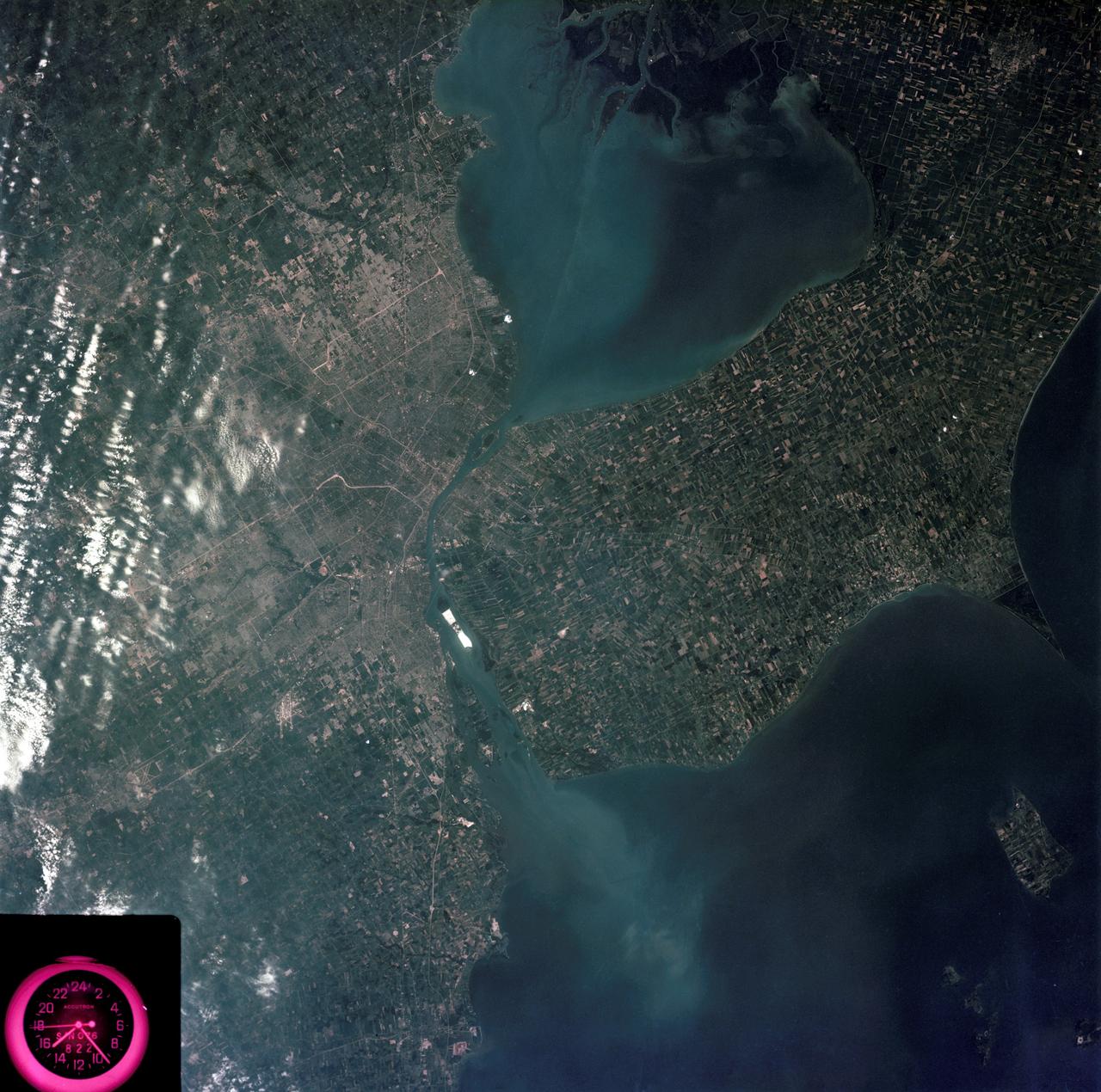
Detroit, Michigan metropolitan area photographed from Skylab
1973-08-05 · NASA Image and Video Library