
NIMS Spectral Maps of Jupiter Great Red Spot
The Near-Infrared Mapping Spectrometer (NIMS) instrument looks at Jupiter's Great Red Spot, in these views from June 26, 1996. NIMS studies infrared wavelengths of light that our eye cannot see. These maps are at four different infrared wavelengths, each one picked to reveal something different about the atmosphere. The top image is a false color map of a wavelength that is at the red edge of our ability to see. It shows the shapes of features that we would see with our eyes. The second map is of ammonia ice, red showing where the most ice is, blue where none exists. The differences between this and the first image are due to the amount and size of ammonia ice crystals. The third map down is from a wavelength that shows cloud heights, with the highest clouds in red, and the lowest in blue. The bottom map uses a wavelength that shows the hot Jupiter shining through the clouds. Red represents the thinnest clouds, and blue is thickest where it is more difficult to see below. Comparing the bottom two images, note that the highest clouds are in the center of the Great Red Spot, while there are relatively few clouds around the edges. http://photojournal.jpl.nasa.gov/catalog/PIA00501
- Date
- 1998-03-26
- Photographer / author
- NASA/JPL
- Collection
- JPL
- Archive
- NASA Image and Video Library
- Type
- photograph
Public domainsafest
Reason: a NASA work: not copyrighted in the United States.
Read from: NASA media usage guidelines: NASA material is not copyrighted in the US unless noted; no third-party credit or mark found.
Credit line
"NIMS Spectral Maps of Jupiter Great Red Spot" (1998-03-26). NASA/JPL/NASA/JPL. Public domain. https://images.nasa.gov/details/PIA00501Need photos for a whole script? Add Find Any Photo to Claude and ask for this one by its id: 22130.
More like this
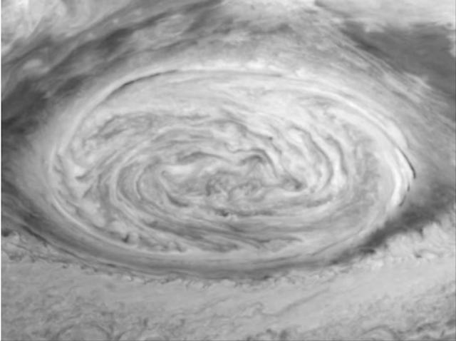
Dynamics of Jupiter's Great Red Spot in the Near-infrared
1997-11-04 · NASA Image and Video Library
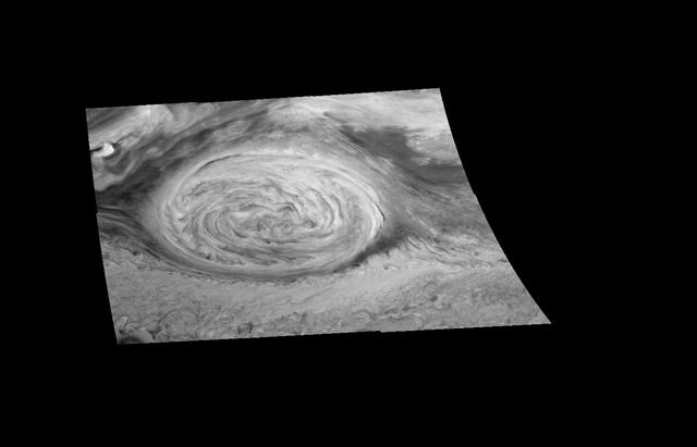
Mosaic of Jupiter Great Red Spot in the near infrared
1998-03-26 · NASA Image and Video Library
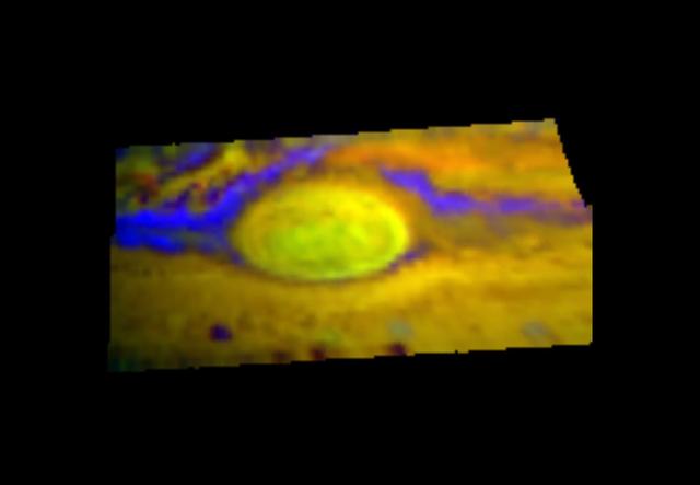
First Near Infrared Mapping Spectrometer NIMS Image of the Great Red Spot
1998-03-26 · NASA Image and Video Library
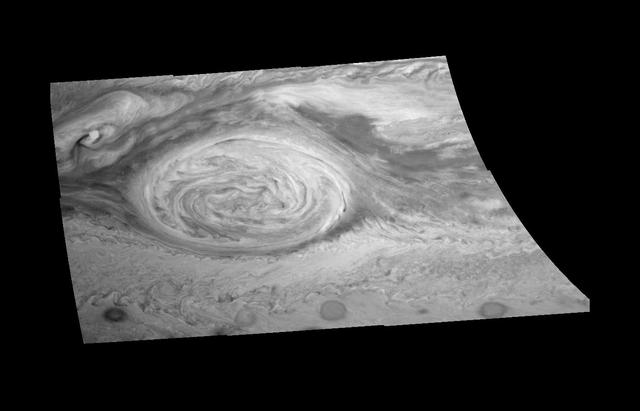
Great Red Spot Mosaic - Near-infrared Filter
1997-09-07 · NASA Image and Video Library
Mosaic of Jupiter Great Red Spot in the near infrared
1999-09-27 · NASA Image and Video Library
NIMS Observes the Structure and Composition of Jupiter Clouds
1998-03-26 · NASA Image and Video Library
Mosaic of Jupiter Great Red Spot Methane Filter
1998-03-26 · NASA Image and Video Library
Mosaic of Jupiter Great Red Spot 727 nm
1998-03-26 · NASA Image and Video Library