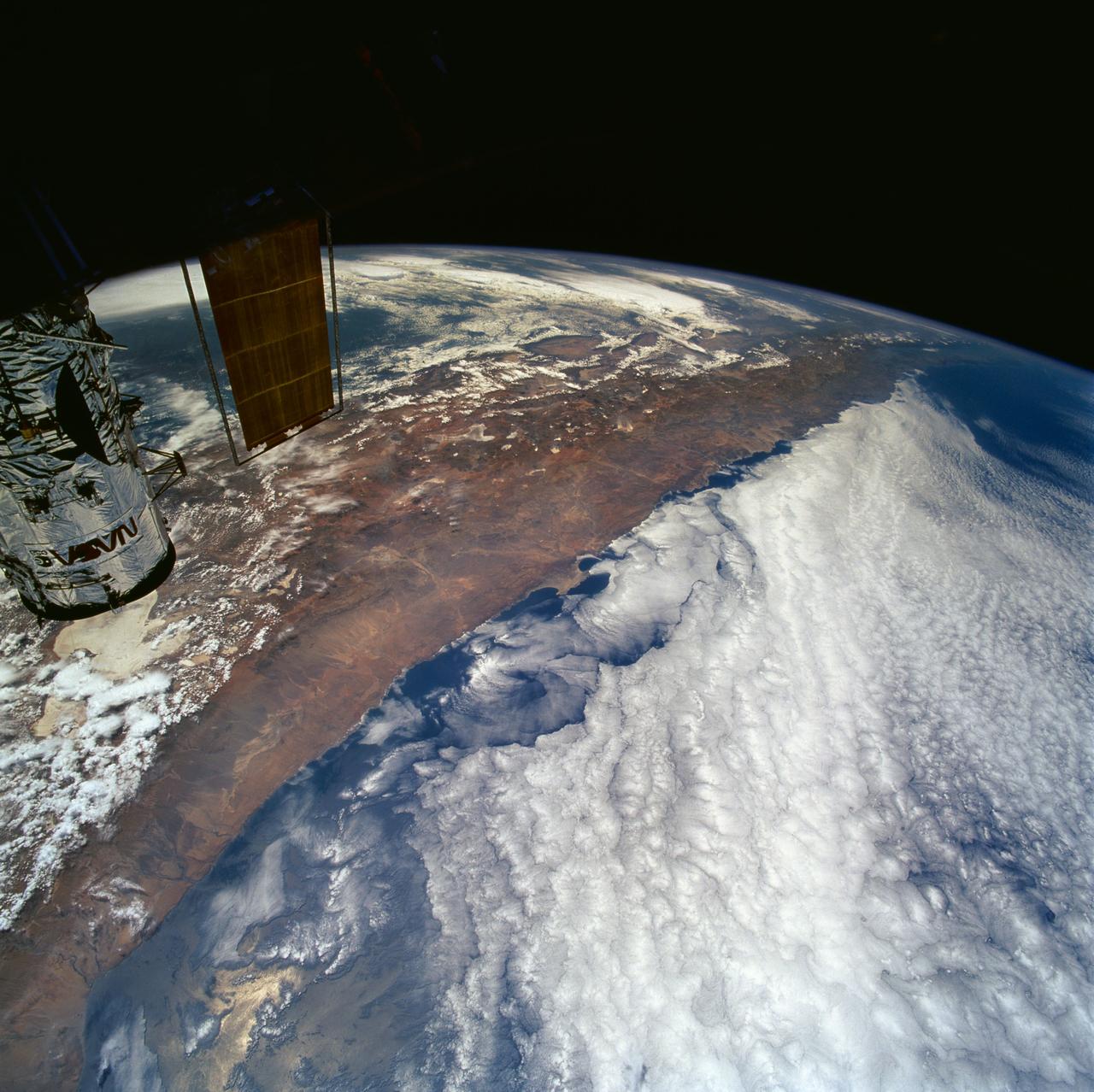
Northern Chile and Andes Mountains seen from STS-61 Shuttle Endeavour
STS061-101-023 (8 Dec 1993) --- This color photograph is a spectacular, panoramic (southeastern view) shot that features the northern half of the country of Chile and the Andes Mountains of South America. The Atacama Desert, one of the driest regions on earth, is clearly visible along the northern Chilean coast. This desert extends from roughly Arica in the north to the city of Caldera in the south, a distance of six hundred miles. Some parts of this very arid region go for more than twenty years without measurable precipitation. It is an area of dramatic and abrupt elevation changes. For example, from the waters edge there is an escarpment of the coastal plateau that rises like an unbroken wall two or three thousand feet above the Pacific Ocean. From the coastal plateau, there is an even more dramatic increase in elevation -- from two thousand feet above sea level to an average elevation of thirteen thousand feet above sea level in the Bolivian Altiplano. This elevation change occurs within a one hundred to two hundred mile distance from the Pacific Ocean. The north-south trending spine of the Andes Mountains can be seen on this photograph. Several of the volcanic peaks in this mo
- Date
- 1993-12-09
- Collection
- JSC
- Archive
- NASA Image and Video Library
- Type
- photograph
Public domainsafest
Reason: a NASA work: not copyrighted in the United States.
Read from: NASA media usage guidelines: NASA material is not copyrighted in the US unless noted; no third-party credit or mark found.
Credit line
"Northern Chile and Andes Mountains seen from STS-61 Shuttle Endeavour" (1993-12-09). NASA/JSC. Public domain. https://images.nasa.gov/details/sts061-101-023Need photos for a whole script? Add Find Any Photo to Claude and ask for this one by its id: 13831.
More like this
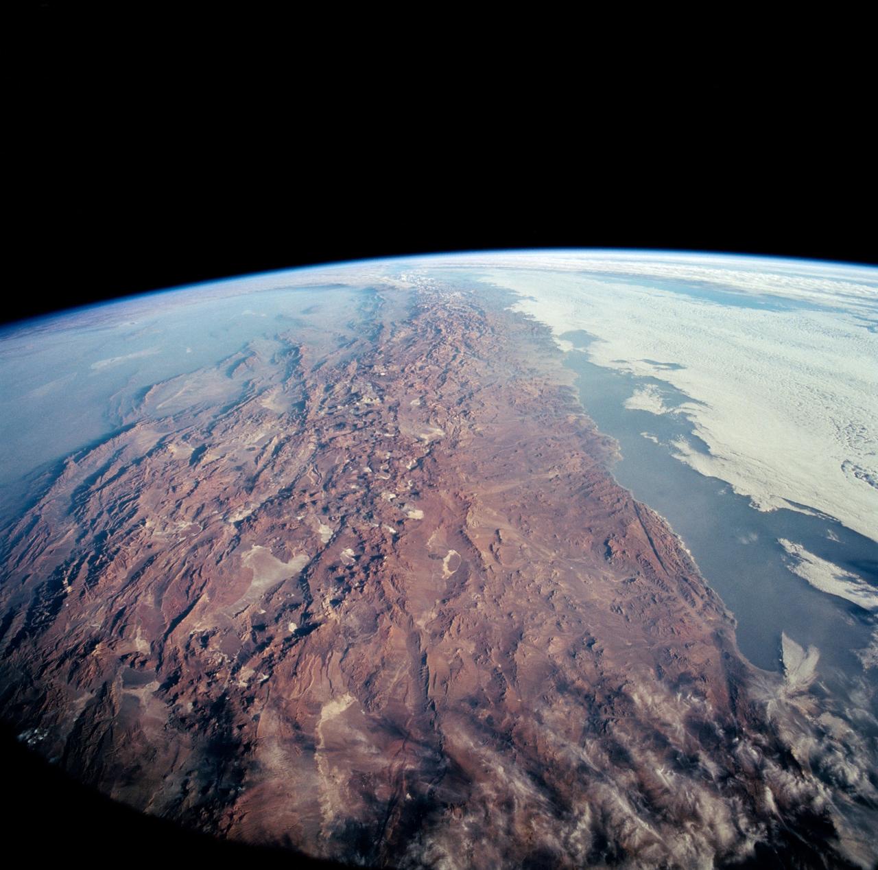
STS-65 Earth observation of Northern Chile & Andes Mtns taken from OV-102
1994-07-23 · NASA Image and Video Library
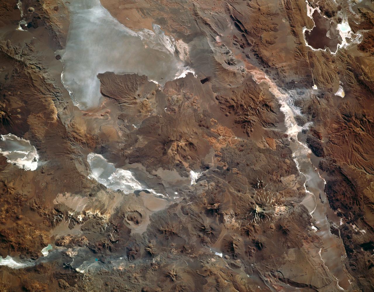
Altiplano of the Central Andes as seen from STS-66 shuttle Atlantis
1994-11-14 · NASA Image and Video Library

STS-31 Earth observation of the Andes Mountains
1990-04-29 · NASA Image and Video Library
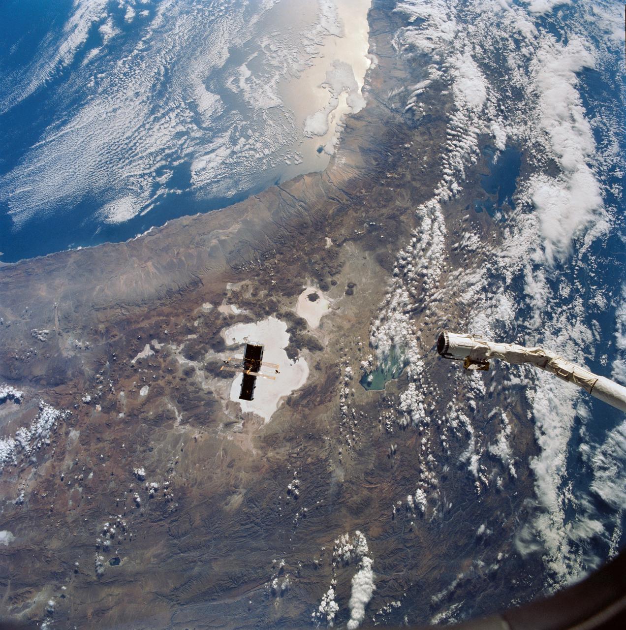
STS-31 Hubble Space Telescope (HST) drifts away from OV-103's RMS
1990-04-25 · NASA Image and Video Library
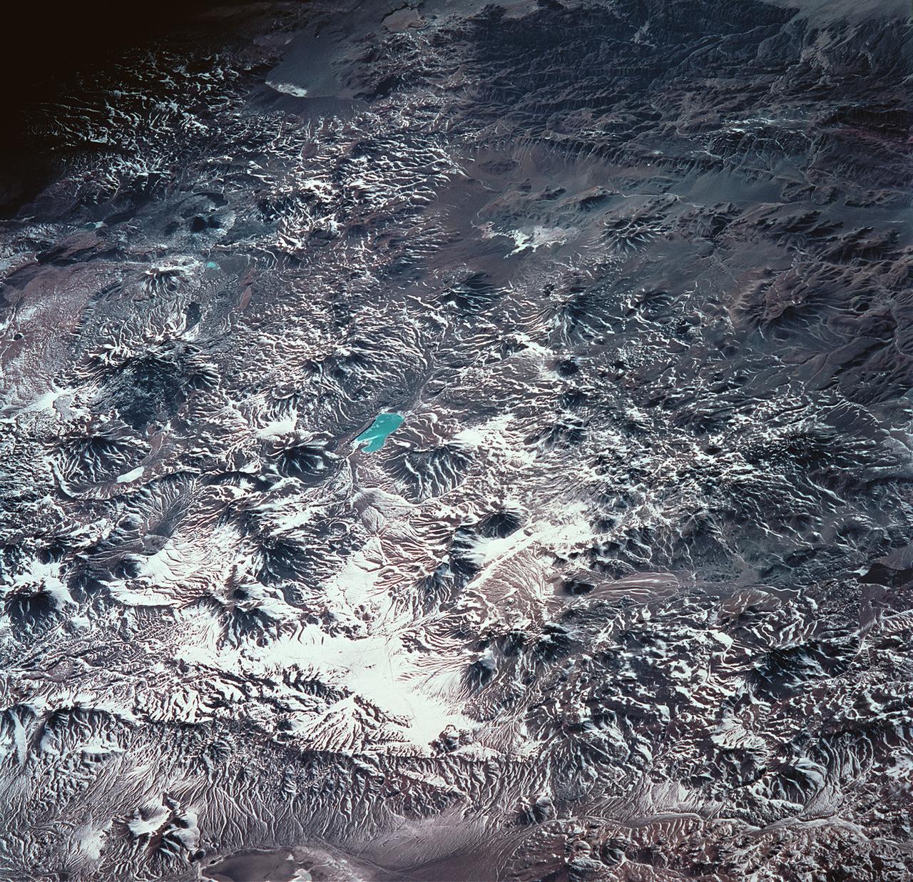
Earth observations taken from Space Shuttle Columbia during STS-93 mission
1999-07-23 · NASA Image and Video Library
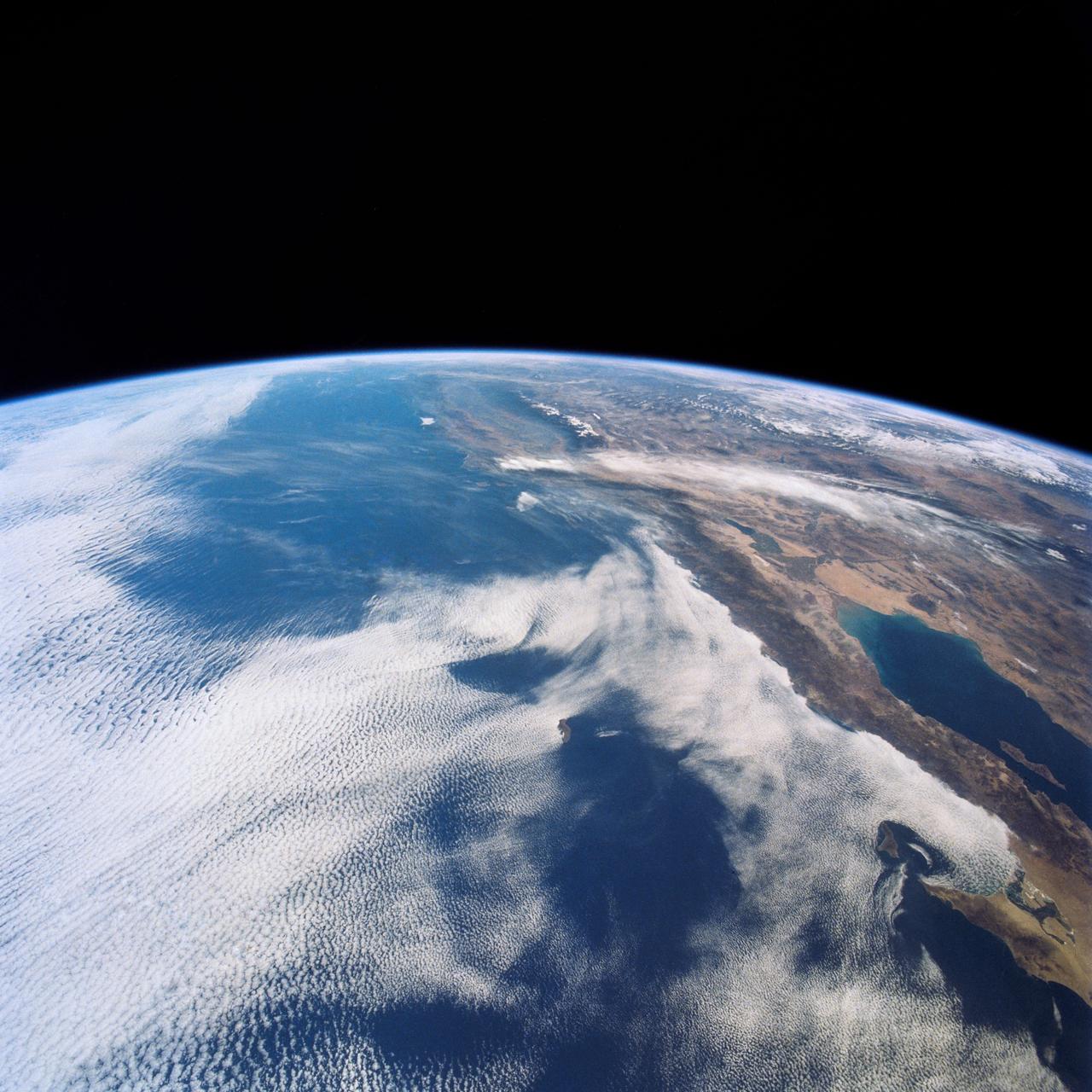
West Coast, United States and Mexico
1990-04-29 · NASA Image and Video Library
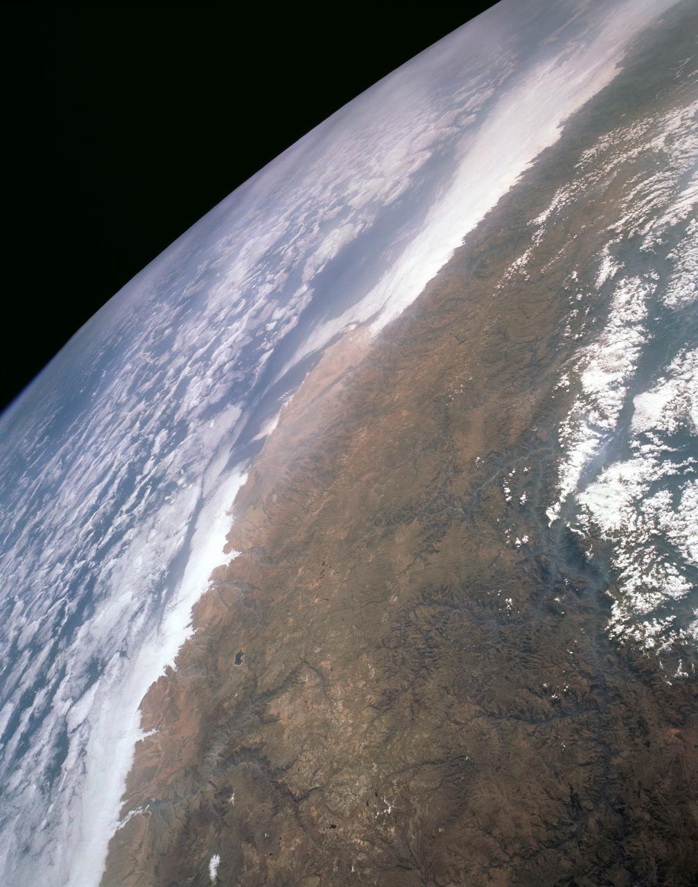
Andes Altiplano, South America
1991-08-11 · NASA Image and Video Library
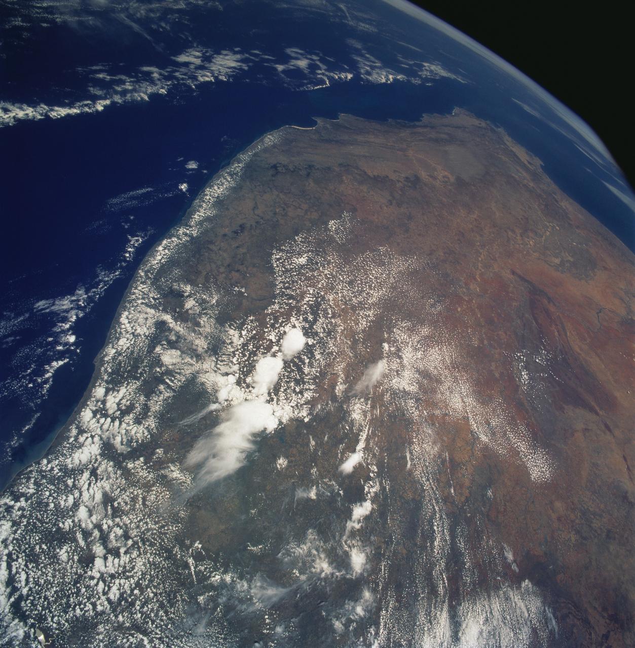
Southern Africa as seen from STS-61 Shuttle Endeavour
1993-12-09 · NASA Image and Video Library