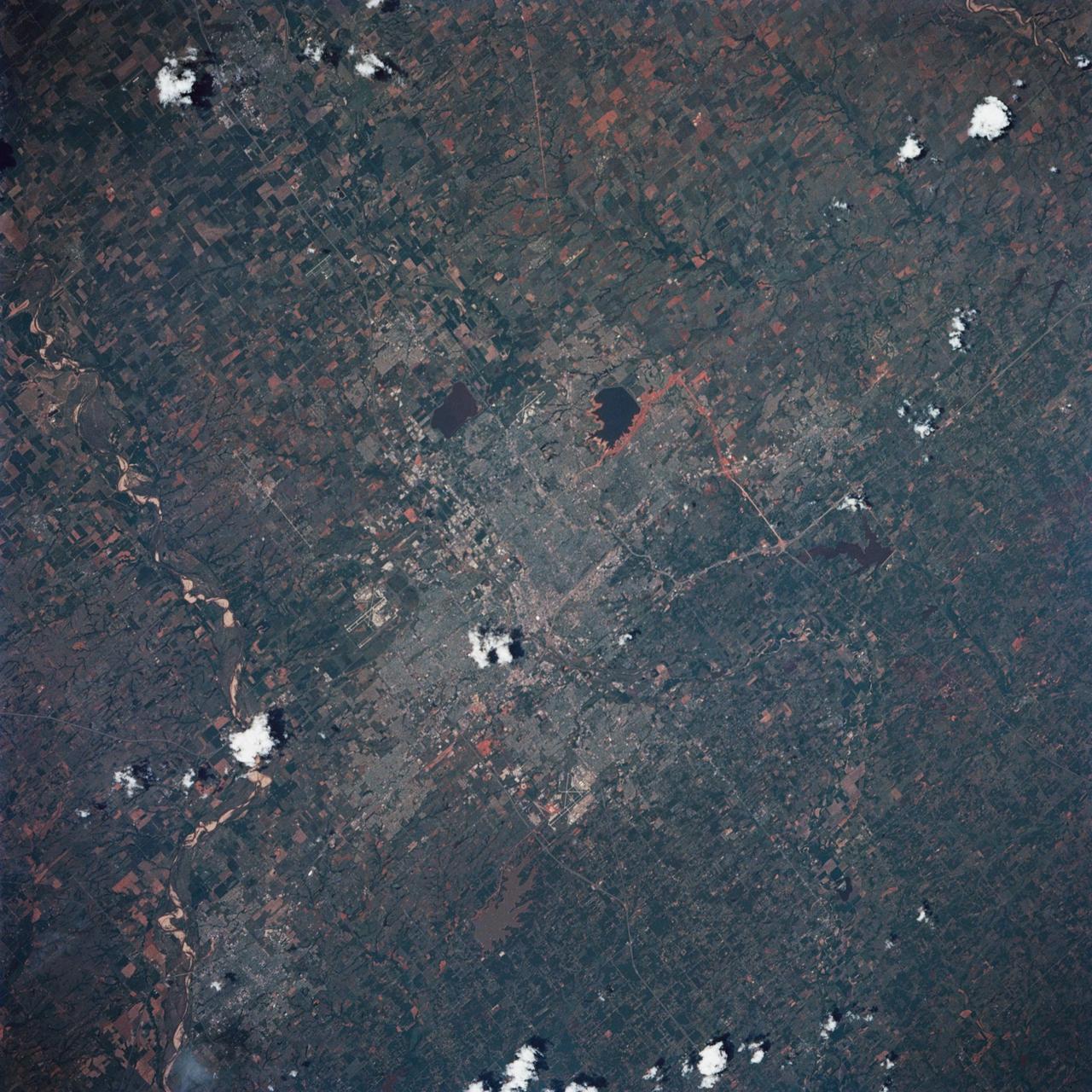
Oklahoma City, Canadian River, OK, USA
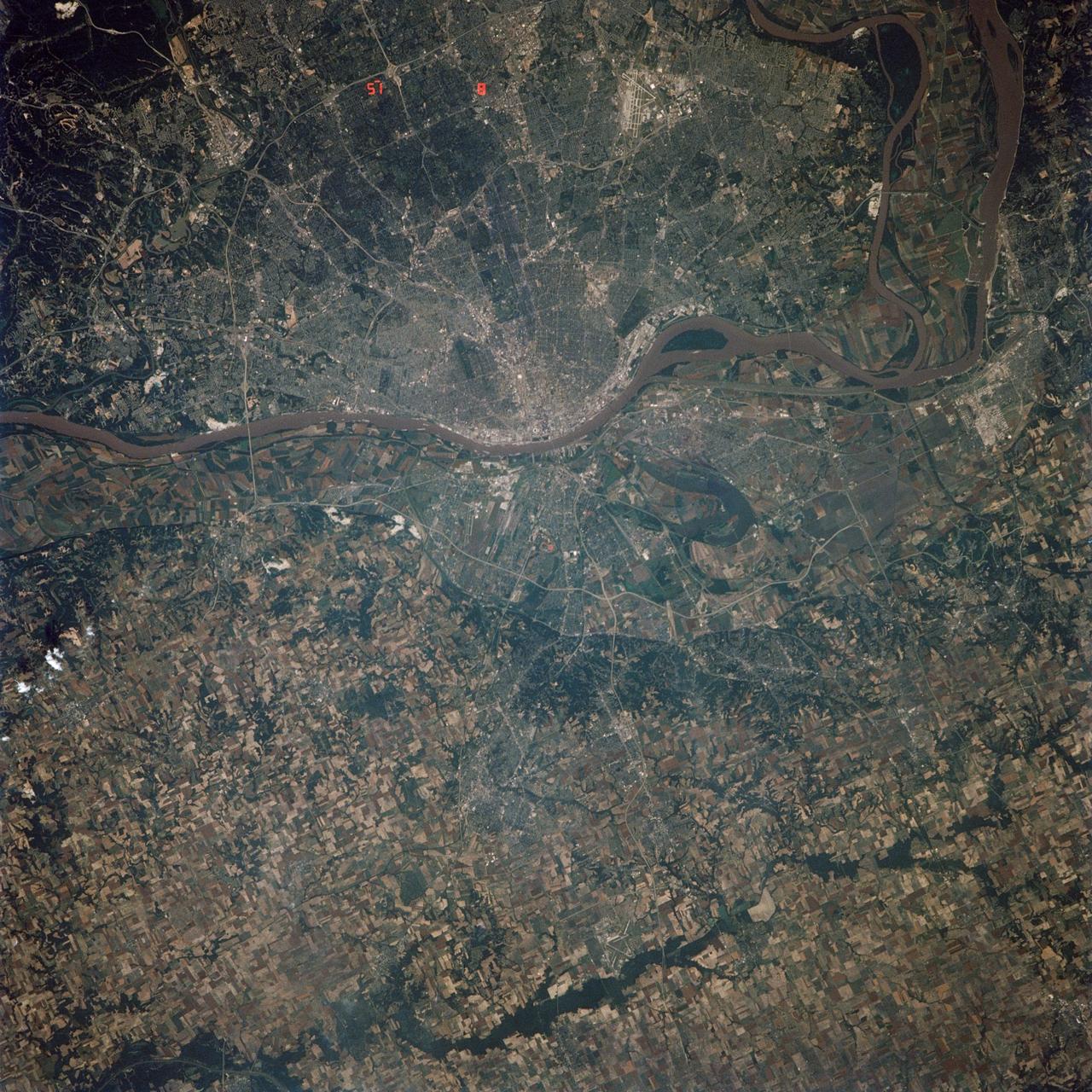
STS039-85-029 (28 April-6 May 1991) --- This 70mm frame is one of the best pictures of the Oklahoma City area from the manned space program, according to NASA photo experts studying STS-39 onboard photography. The central business district is near the center. Several municipalities are visible, along with thousands of acres of farmland. The towns of Norman and Moore and the South Canadian River are in the bottom (south). El Reno and Wiley Post Field off I-40W are just below center in lower left quadrant. Edmond is seen at the top (north). Tinker Field can be seen north of I-40E at right center. Lake Overholser shows recent spring rainfall northwest of the central business district.
- Date
- 1991-05-06
- Collection
- JSC
- Archive
- NASA Image and Video Library
- Type
- photograph
Public domainsafest
Reason: a NASA work: not copyrighted in the United States.
Read from: NASA media usage guidelines: NASA material is not copyrighted in the US unless noted; no third-party credit or mark found.
Credit line
"Oklahoma City, Canadian River, OK, USA" (1991-05-06). NASA/JSC. Public domain. https://images.nasa.gov/details/s39-85-029Need photos for a whole script? Add Find Any Photo to Claude and ask for this one by its id: 15540.
More like this
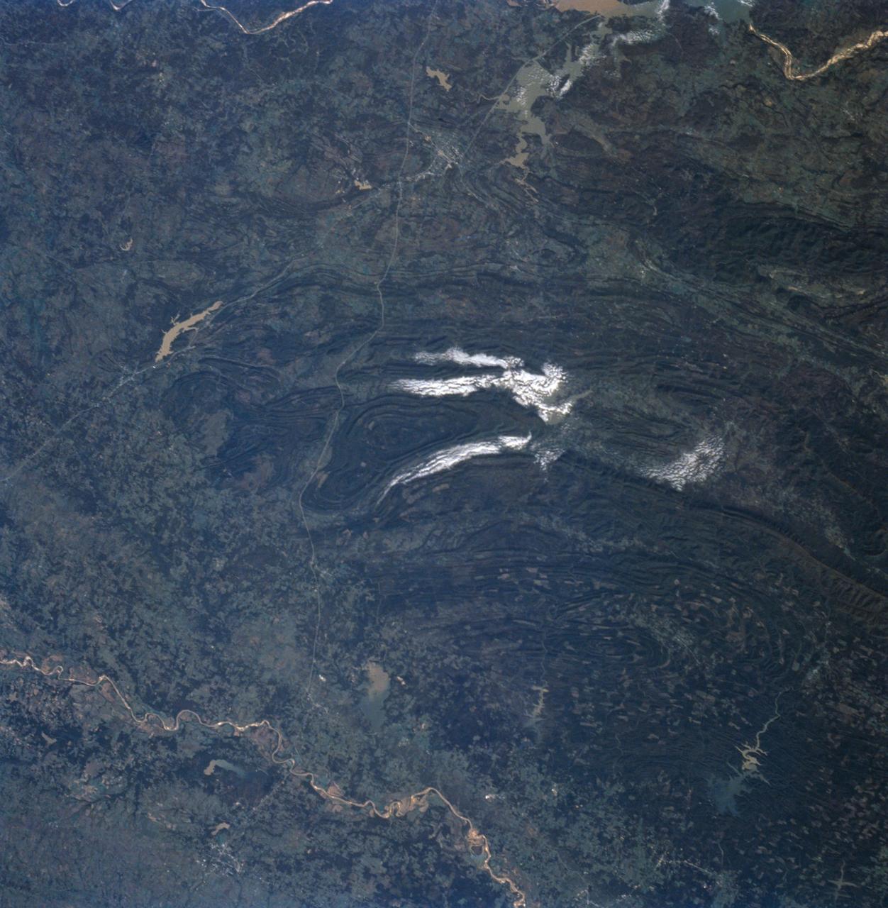
Ouachita Mountains, Oklahoma as seen from STS-58
1993-10-30 · NASA Image and Video Library
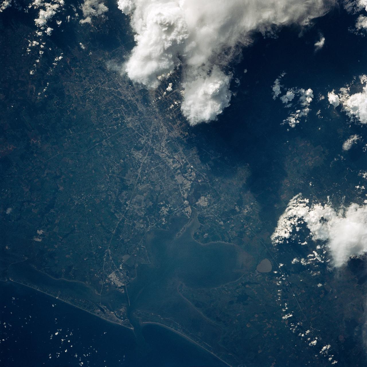
Houston, TX, USA
1991-09-18 · NASA Image and Video Library
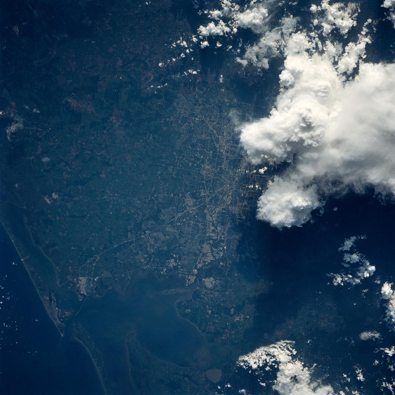
Houston/Galveston, Texas, USA
1991-09-18 · NASA Image and Video Library
Houston/Galveston, Texas, USA
1991-05-06 · NASA Image and Video Library
View - Northeast Oklahoma (OK) - Metropolitan Tulsa Area - OK
1973-08-15 · NASA Image and Video Library
San Antonio, Texas as seen from STS-58
1993-10-30 · NASA Image and Video Library
Colorado as seen from STS-58
1993-10-30 · NASA Image and Video Library
St. Louis, MO, USA
1991-06-14 · NASA Image and Video Library