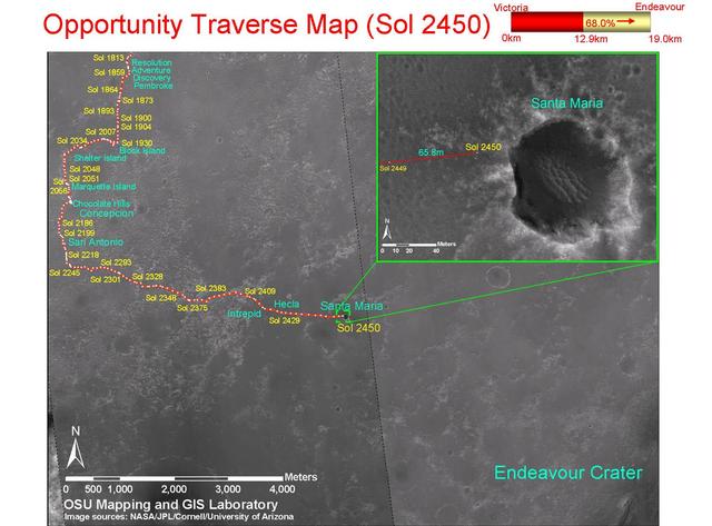
Opportunity Traverse Map, Sol 2450
This map shows the path that NASA Mars Exploration Rover Opportunity followed from the 1,813th Martian day, or sol, to Sol 2450 Dec. 15, 2010 when Opportunity approached a crater informally named Santa Maria.
- Date
- 2010-12-17
- Photographer / author
- NASA/JPL-Caltech/MSSS/Cornell/Ohio State Univ.
- Collection
- JPL
- Archive
- NASA Image and Video Library
- Type
- photograph
Public domainsafest
Reason: a NASA work: not copyrighted in the United States.
Read from: NASA media usage guidelines: NASA material is not copyrighted in the US unless noted; no third-party credit or mark found.
Credit line
"Opportunity Traverse Map, Sol 2450" (2010-12-17). NASA/JPL/NASA/JPL-Caltech/MSSS/Cornell/Ohio State Univ.. Public domain. https://images.nasa.gov/details/PIA13731Need photos for a whole script? Add Find Any Photo to Claude and ask for this one by its id: 23197.
More like this
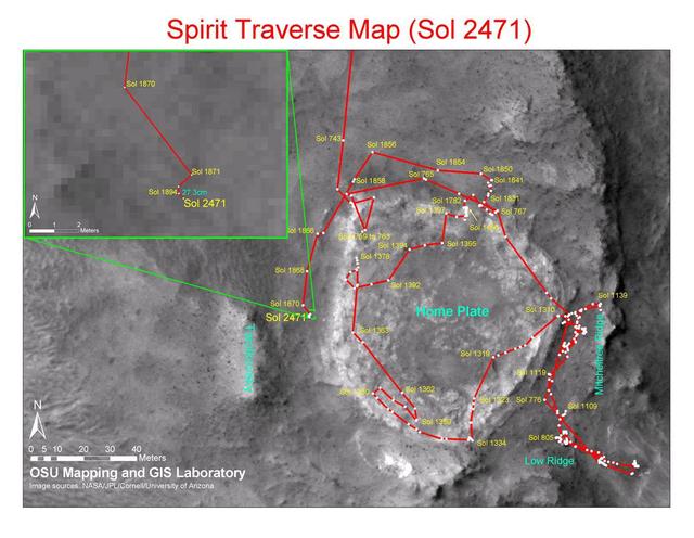
Spirit Traverse Map, Sol 2471
2010-12-17 · NASA Image and Video Library
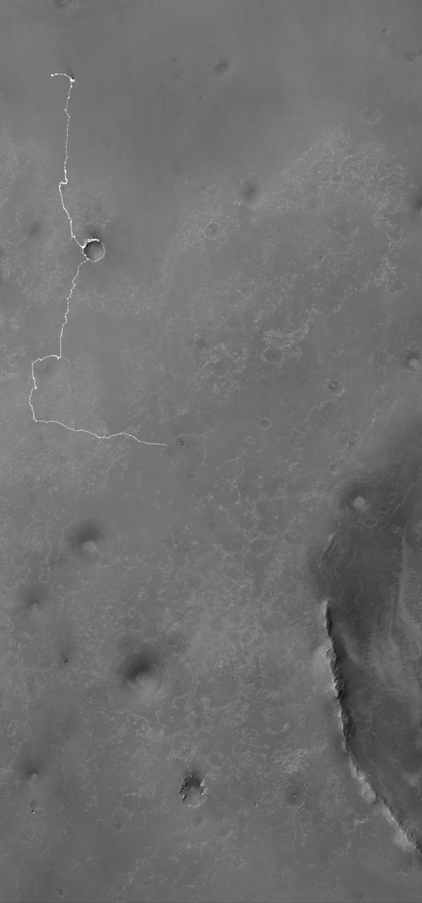
Opportunity Martian Traverse Through Sol 2442
2010-12-10 · NASA Image and Video Library
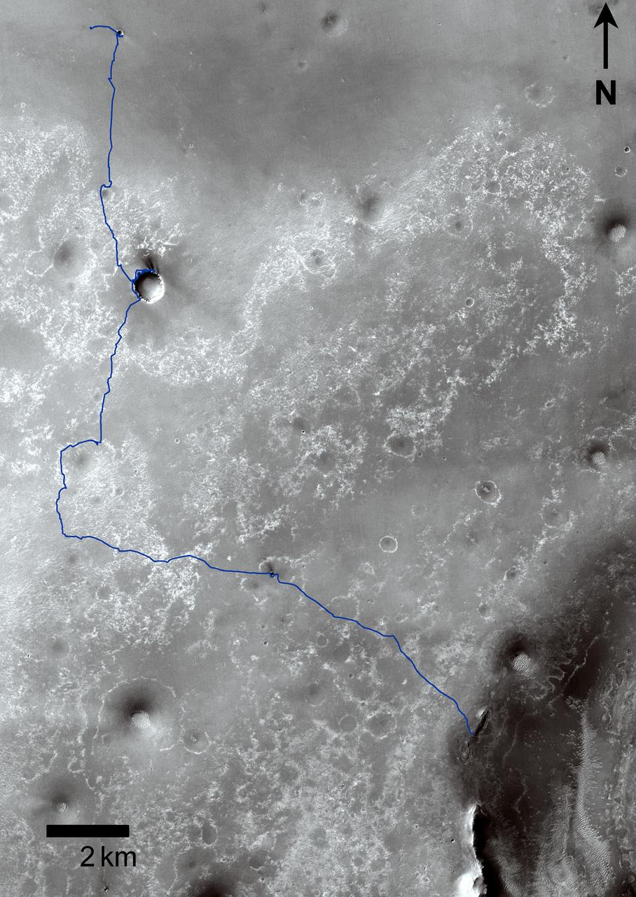
Opportunity Traverses Through 2,700 Martian Days
2011-09-01 · NASA Image and Video Library

Opportunity Marathon Journey
2015-03-24 · NASA Image and Video Library
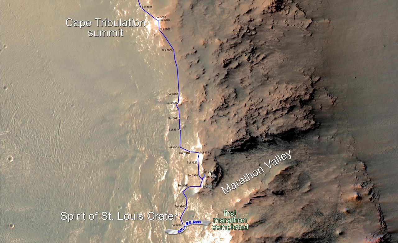
Opportunity Rover Surpasses Marathon Distance
2015-03-24 · NASA Image and Video Library
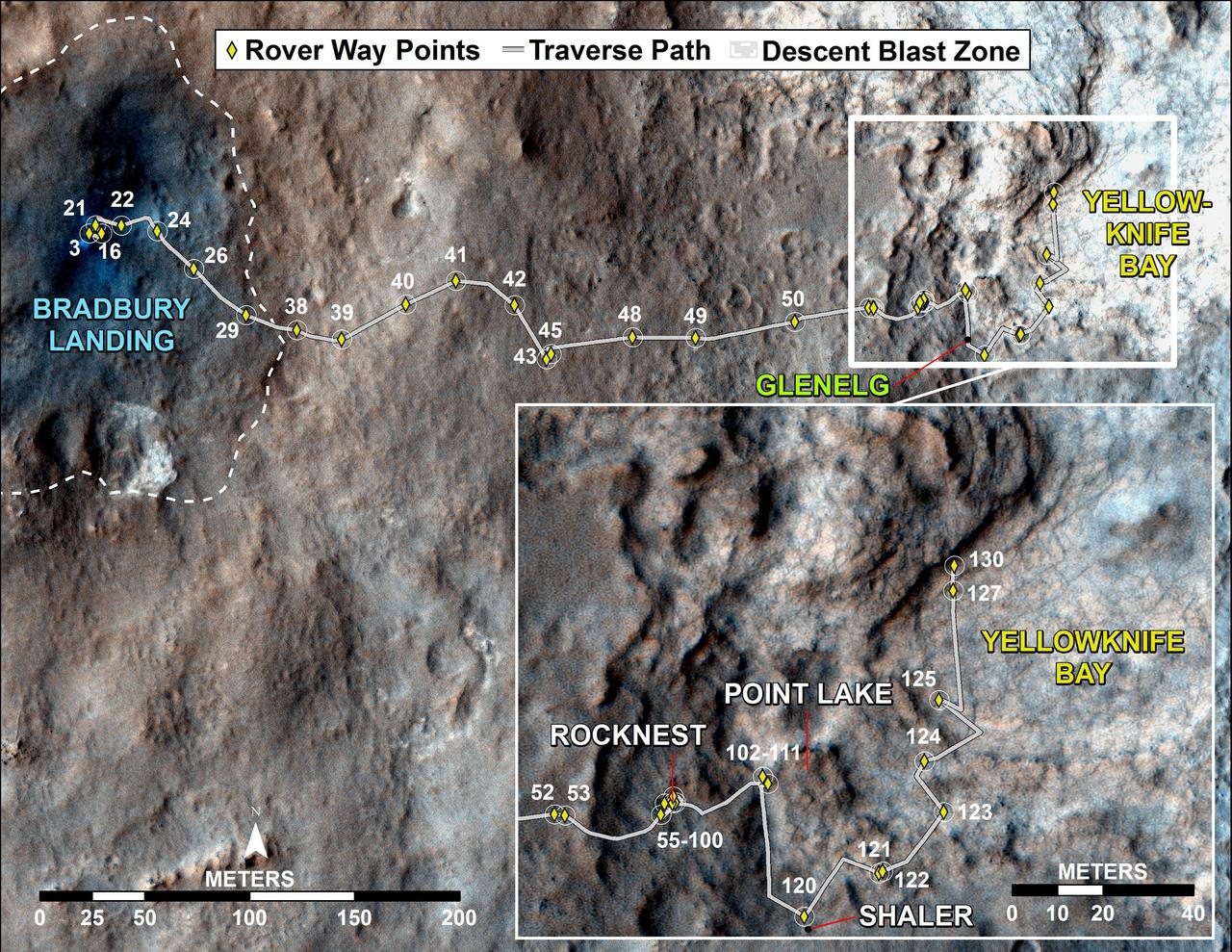
Curiosity Traverse Map, Sol 130
2012-12-18 · NASA Image and Video Library

Eagle to Endeavour: Opportunity Path, Sol 2609
2011-06-08 · NASA Image and Video Library
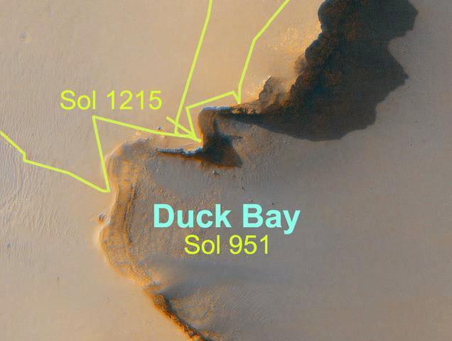
Opportunity Long Road to Victoria Animation
2007-06-28 · NASA Image and Video Library