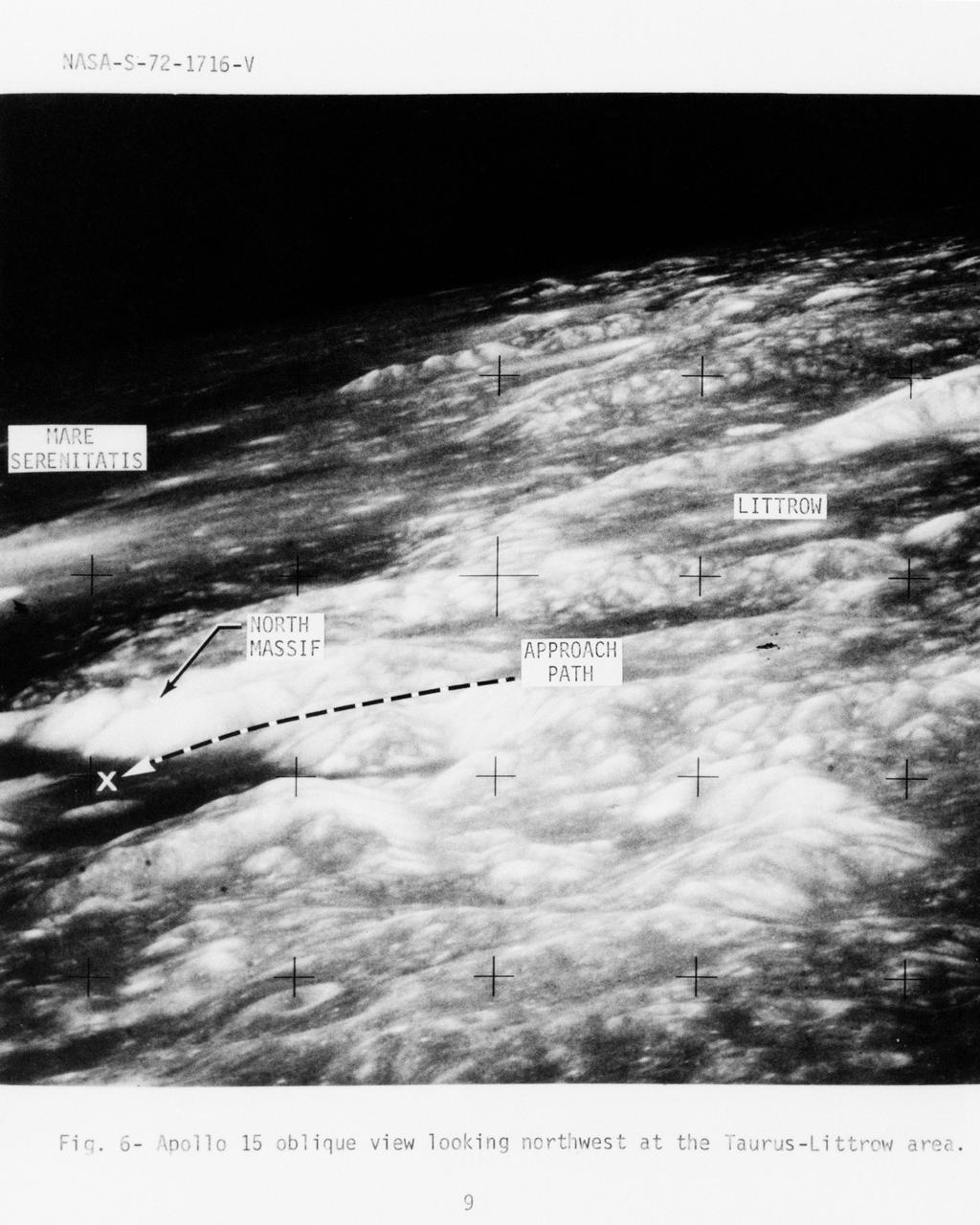
Photograph of Apollo 17 lunar landing site location
S72-01716 (July 1972) --- An oblique view of the Taurus-Littrow area on the lunar nearside, as photographed from the Apollo 15 spacecraft in lunar orbit. This is an enlarged view. The "X" marks the landing site of the scheduled Apollo 17 lunar landing mission. The overlay points out several features in the photograph. The coordinates of the Apollo 17 touchdown point are 30 degrees 44 minutes 58 seconds east longitude and 20 degrees 9 minutes 50 seconds north latitude.
- Date
- 1972-07-01
- Collection
- JSC
- Archive
- NASA Image and Video Library
- Type
- photograph
Public domainsafest
Reason: a NASA work: not copyrighted in the United States.
Read from: NASA media usage guidelines: NASA material is not copyrighted in the US unless noted; no third-party credit or mark found.
Credit line
"Photograph of Apollo 17 lunar landing site location" (1972-07-01). NASA/JSC. Public domain. https://images.nasa.gov/details/S72-01716Need photos for a whole script? Add Find Any Photo to Claude and ask for this one by its id: 90905.
More like this

LUNAR SITE MAP (APOLLO XV) - MSC
1971-07-16 · NASA Image and Video Library
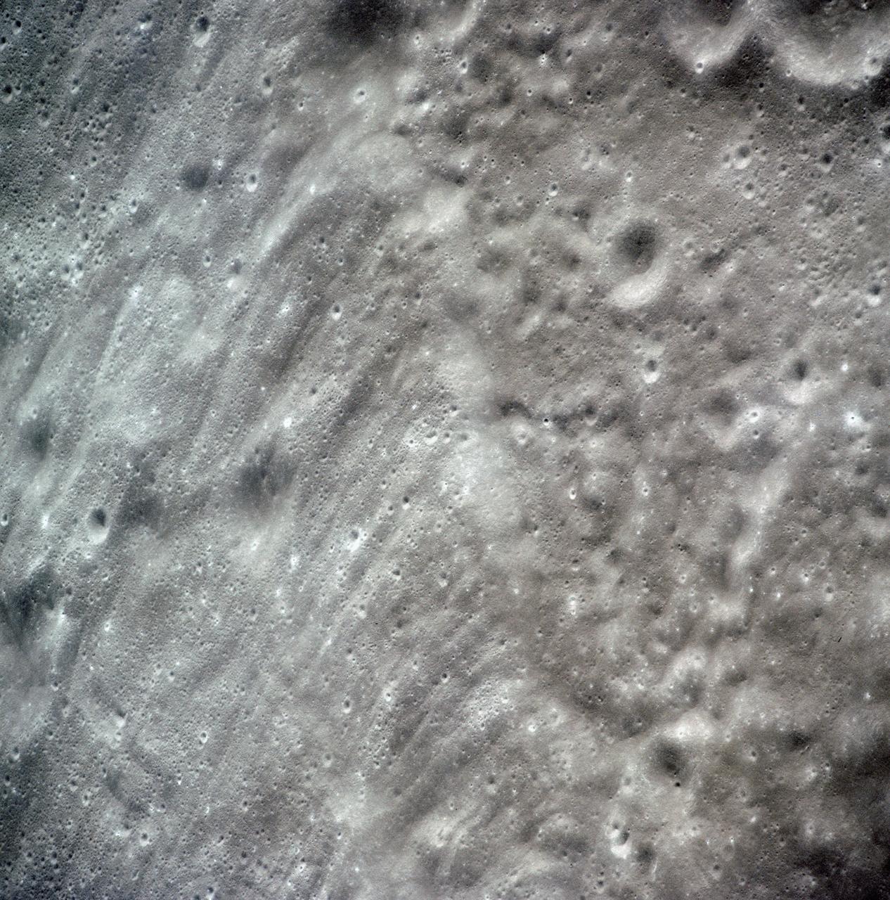
View of crater Tsiolkovsky in highlands on lunar farside as seen by Apollo 15
1971-08-01 · NASA Image and Video Library
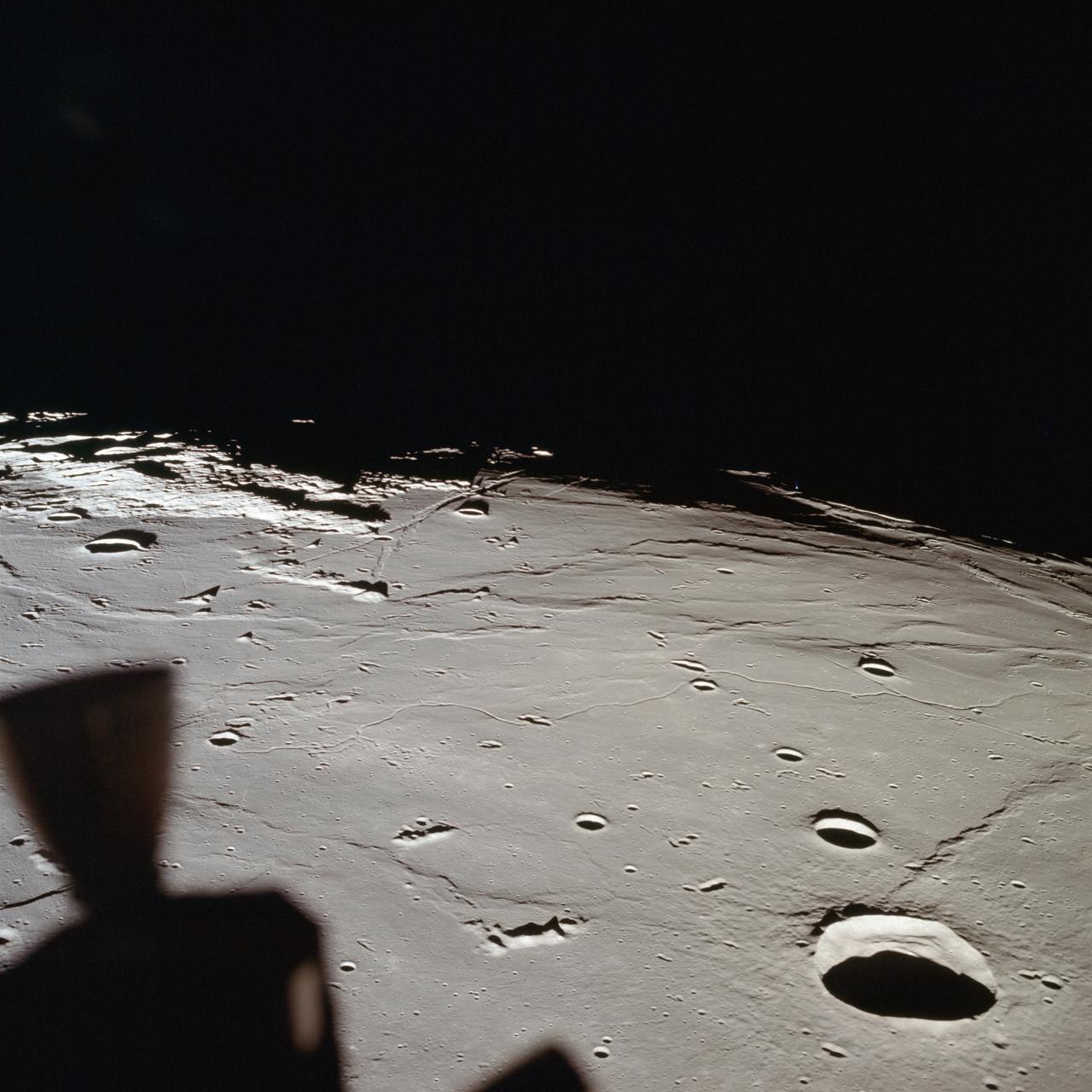
View of approach to Apollo Landing Site 2 in southwestern Sea of Tranquility
1959-07-20 · NASA Image and Video Library

Panorama view of Apollo 17 Lunar surface photos
1972-12-01 · NASA Image and Video Library
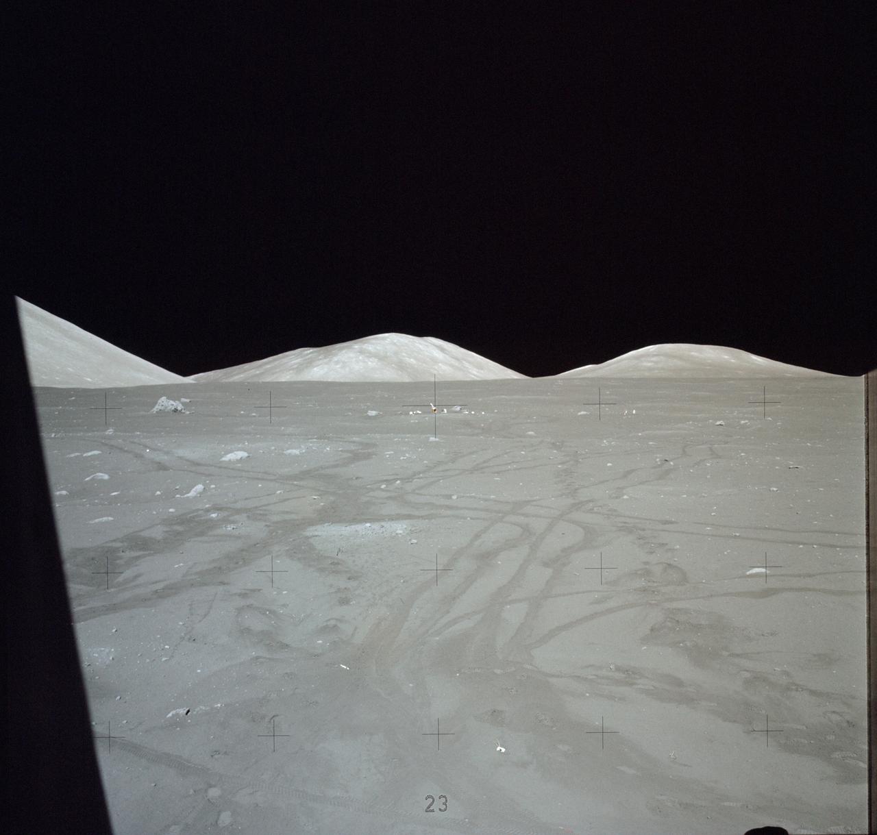
Apollo 17 Mission image - Sta LM,LM Window Pan
1972-12-07 · NASA Image and Video Library
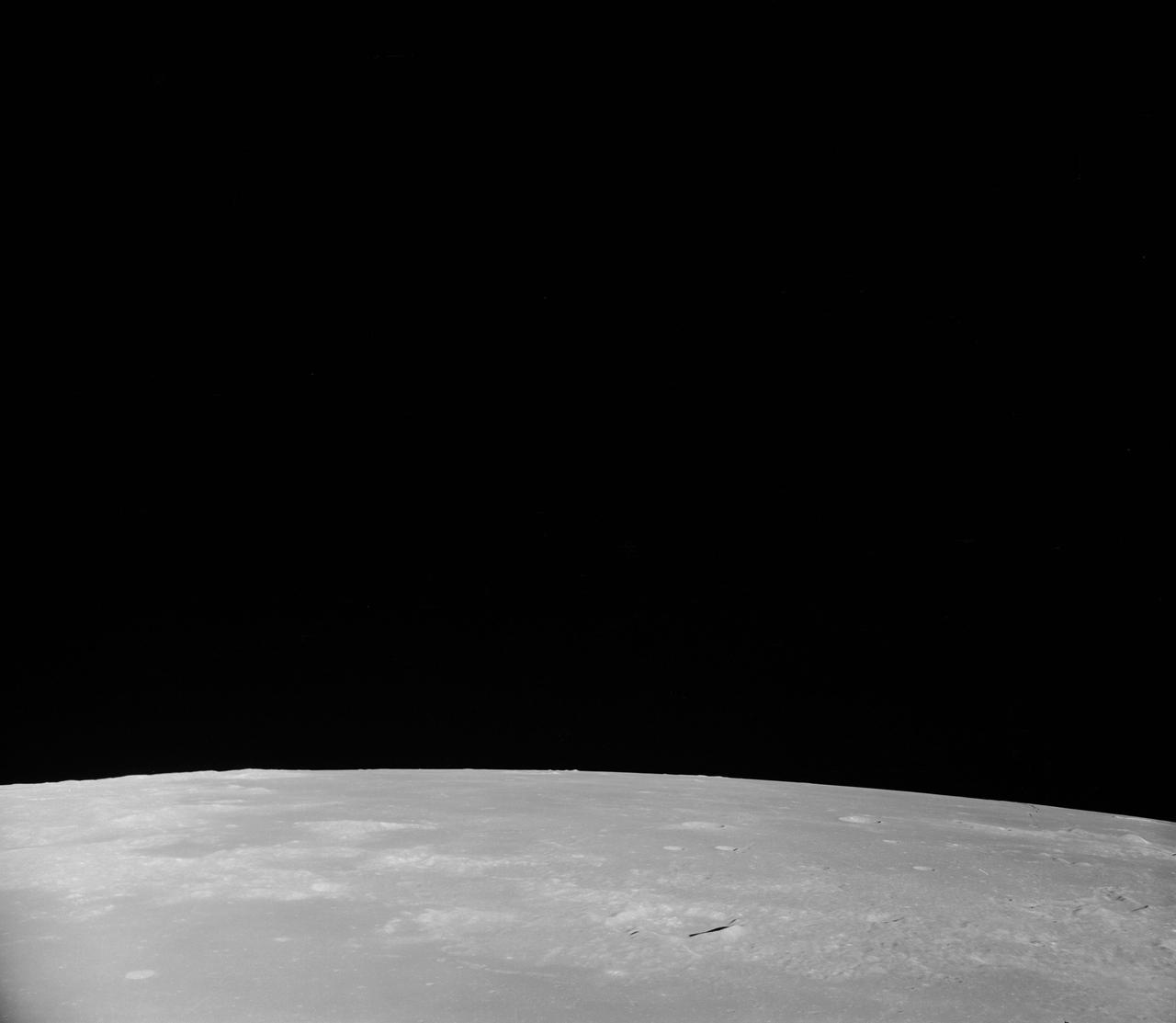
Oblique view of the lunar surface taken from Apollo 8 spacecraft
1968-12-24 · NASA Image and Video Library
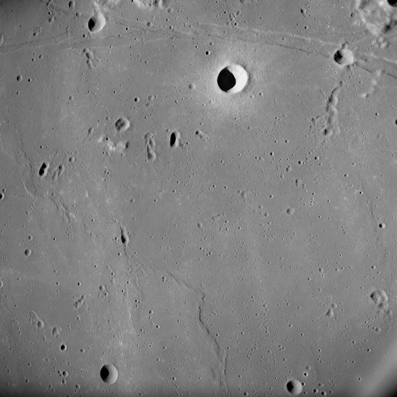
Apollo 10 photograph shows Sea of Tranquility near Apollo Landing Site 2
1969-05-18 · NASA Image and Video Library
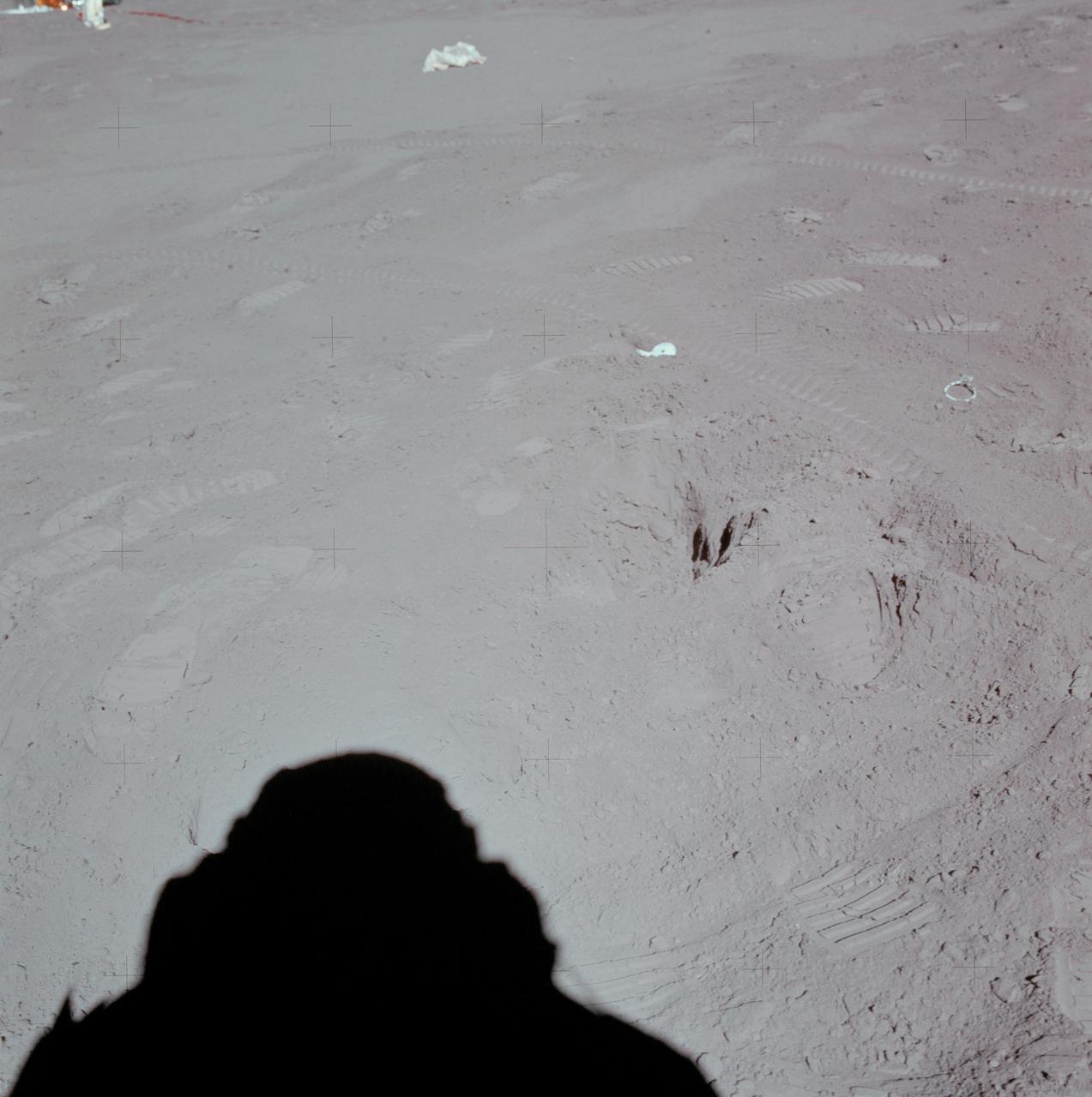
Apollo 15 Mission image - View of Station 8, sample areas 252,253, SESC, Down Sun
1971-07-31 · NASA Image and Video Library