
LUNAR SITE MAP (APOLLO XV) - MSC
S71-40085 (July 1971) --- An enlarged Lunar Orbiter photograph of the Apollo 15 landing area in the Hadley-Apennine region on the nearside of the moon. The overlay indicates the location of the numerous informally-named surface features. These names will facilitate understanding the verbal descriptions from the astronauts during their lunar surface extravehicular activity (EVA). This is an August 1967, Lunar Orbiter V photograph of Site 26.1.
- Date
- 1971-07-16
- Photographer / author
- N/A
- Collection
- JSC
- Archive
- NASA Image and Video Library
- Type
- photograph
Public domainsafest
Reason: a NASA work: not copyrighted in the United States.
Read from: NASA media usage guidelines: NASA material is not copyrighted in the US unless noted; no third-party credit or mark found.
Credit line
"LUNAR SITE MAP (APOLLO XV) - MSC" (1971-07-16). NASA/JSC/N/A. Public domain. https://images.nasa.gov/details/S71-40085Need photos for a whole script? Add Find Any Photo to Claude and ask for this one by its id: 8725.
More like this
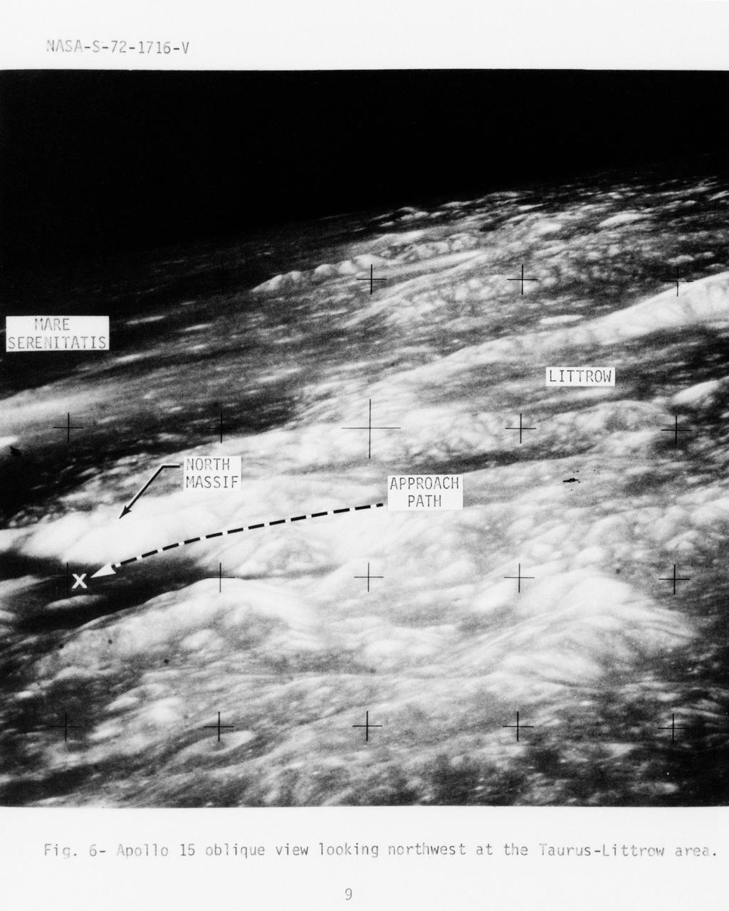
Photograph of Apollo 17 lunar landing site location
1972-07-01 · NASA Image and Video Library
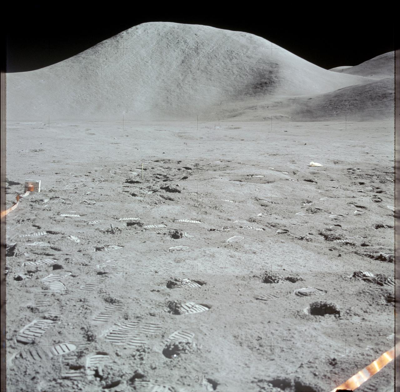
View of Mount Hadley as photographed by Apollo 15 during EVA
1971-07-31 · NASA Image and Video Library
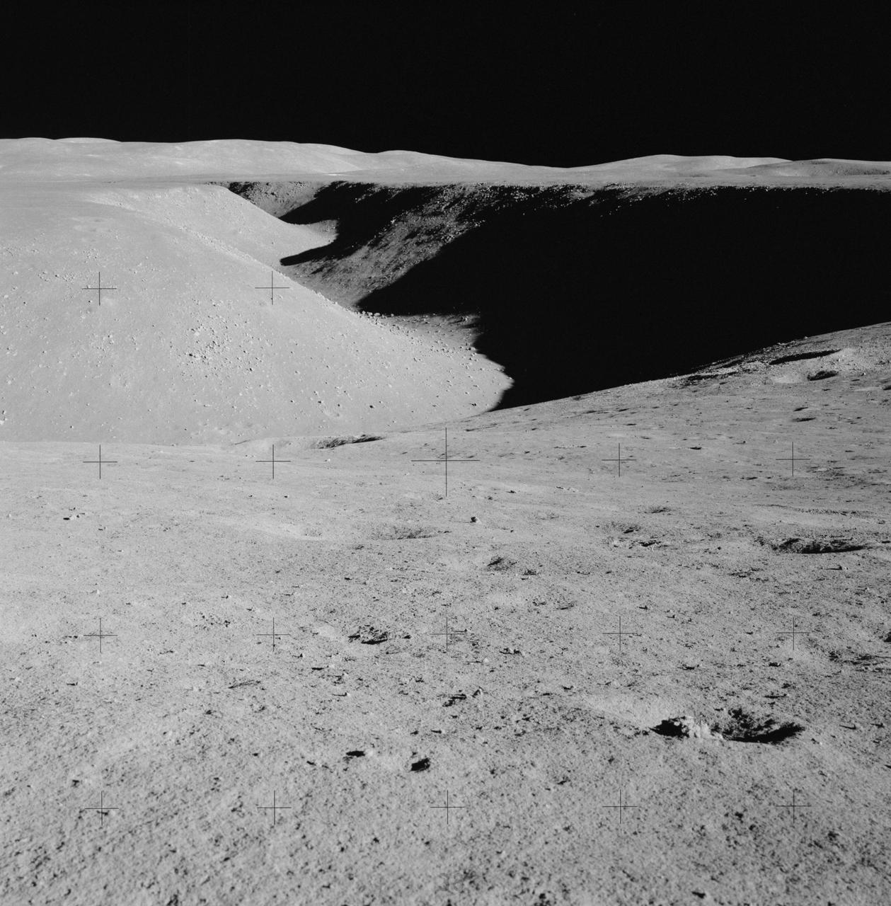
Apollo 15 Mission image - Panoramic view north of Station 1, northwest of Hadley Rille
1971-07-31 · NASA Image and Video Library
S70-50761
1970-10-12 · NASA Image and Video Library

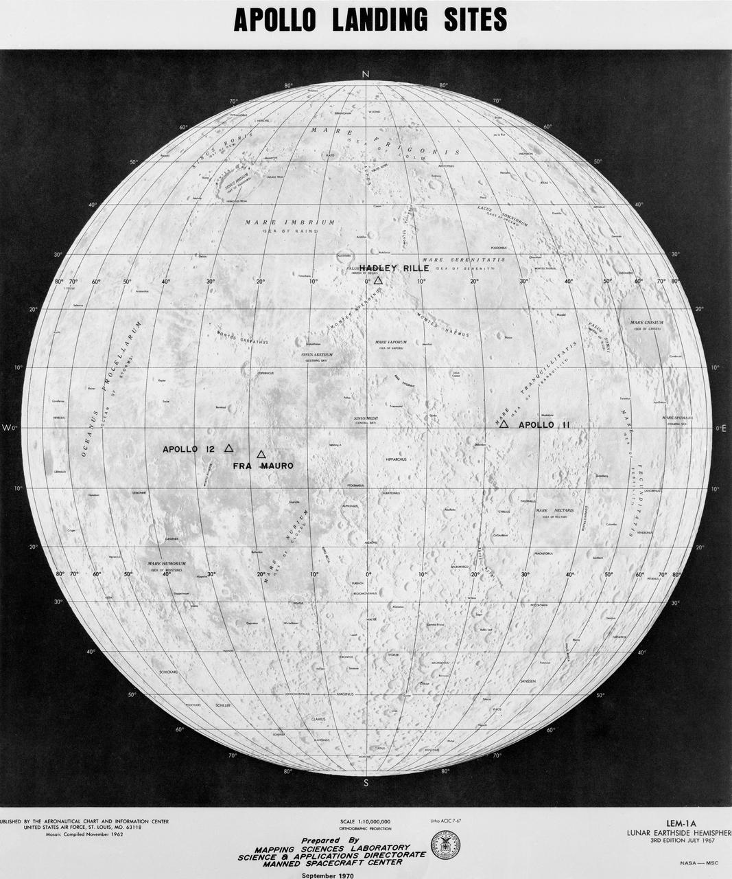
APOLLO LANDING SITES
1972-04-01 · NASA Image and Video Library
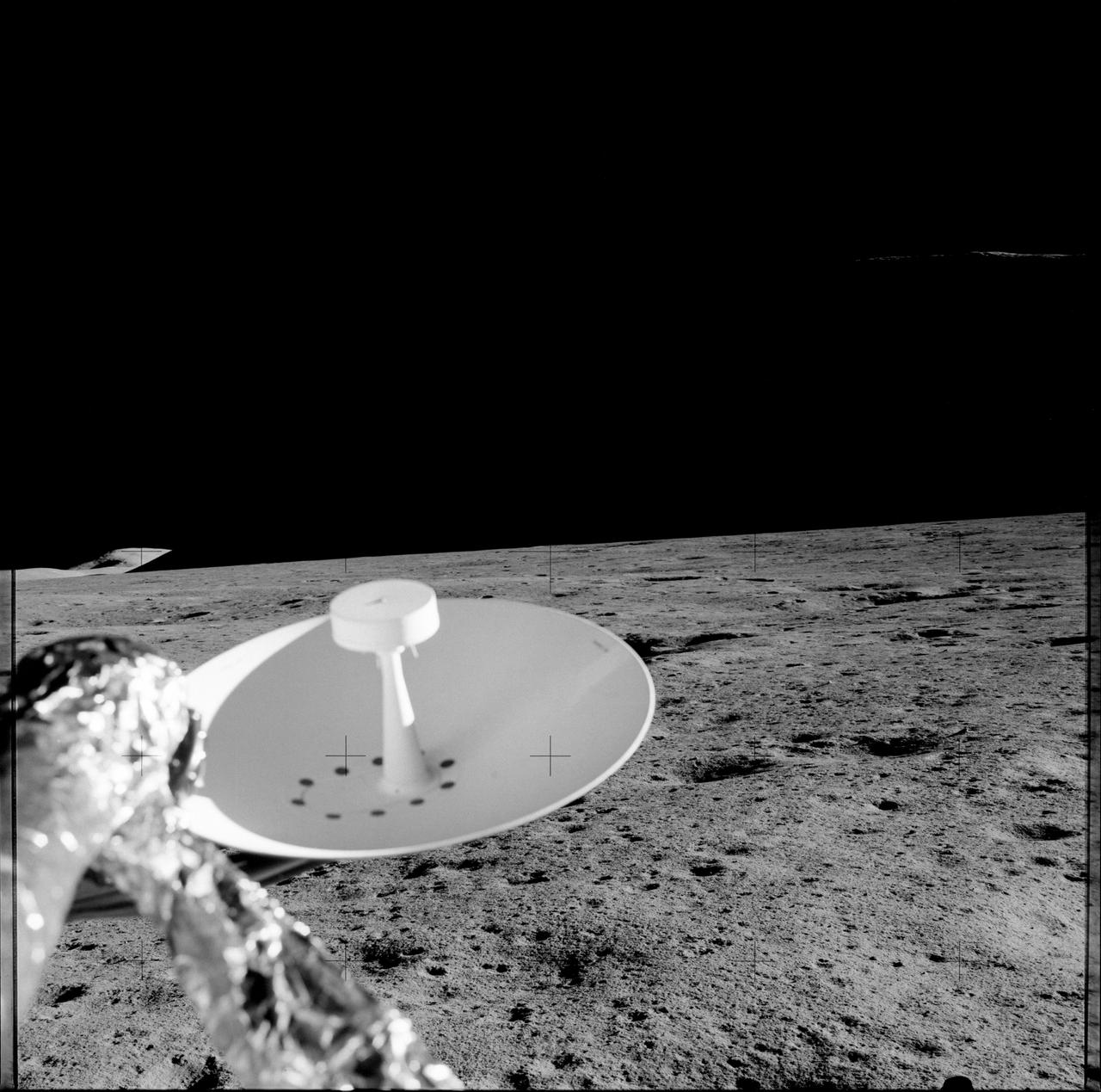
Apollo 15 Mission image - Panoramic view
1971-07-31 · NASA Image and Video Library
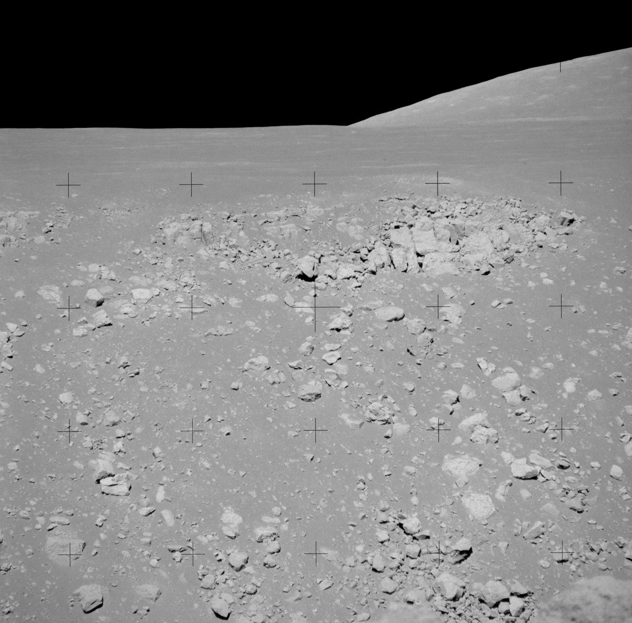
Telephoto view across Hadley Rille photographed during Apollo 15 EVA
1971-08-02 · NASA Image and Video Library
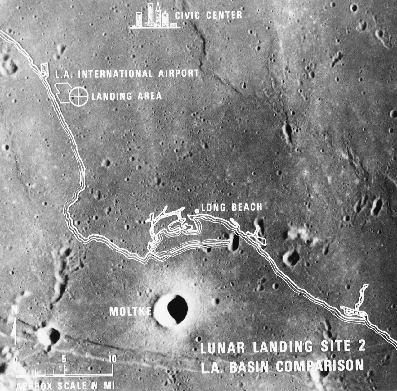
Lunar Landing Site 2 - Comparisons with Size of Various Metropolitan Areas
1969-07-07 · NASA Image and Video Library