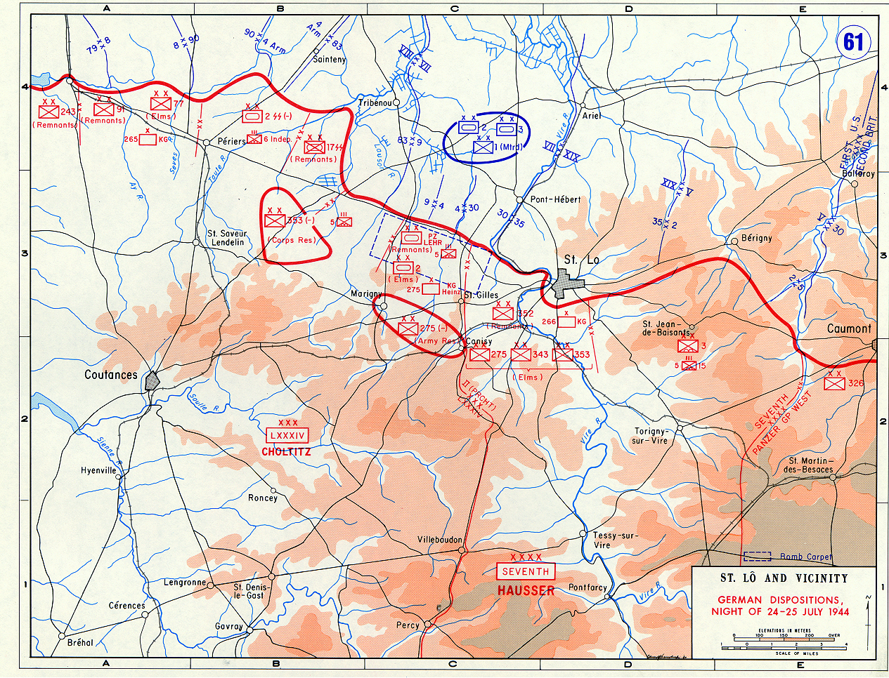

Saint Lo and Vicinity
- Archive
- Wikimedia Commons
- Type
- map
- Original size
- 1,265 × 966 pixels
Public domainsafest
Reason: a US government work (US Army).
Read from: Commons licence category: PD US Army; no CC BY, CC BY-SA, GFDL or deletion tag on the file page.
Credit line
"Saint Lo and Vicinity". Wikimedia Commons. Public domain. https://commons.wikimedia.org/wiki/File:Saint_Lo_and_Vicinity.jpgNeed photos for a whole script? Add Find Any Photo to Claude and ask for this one by its id: 5955.
More like this

Exploitation
Wikimedia Commons

Omaha beachhead 6 June 1944
1944 · Wikimedia Commons

US Army official history map of the liberation of Brittany 1944
1961-01-11 · Wikimedia Commons

(June 28, 1944), HQ Twelfth Army Group situation map. 2004629061
1944-06-28 · Wikimedia Commons

(June 12, 1944), HQ Twelfth Army Group situation map. 2004629045
1944-06-12 · Wikimedia Commons

Map of Periers
1941–1947 · U.S. National Archives

Allied Occupation Zones
1945 · Wikimedia Commons

Operation Torch - map
1942 · Wikimedia Commons