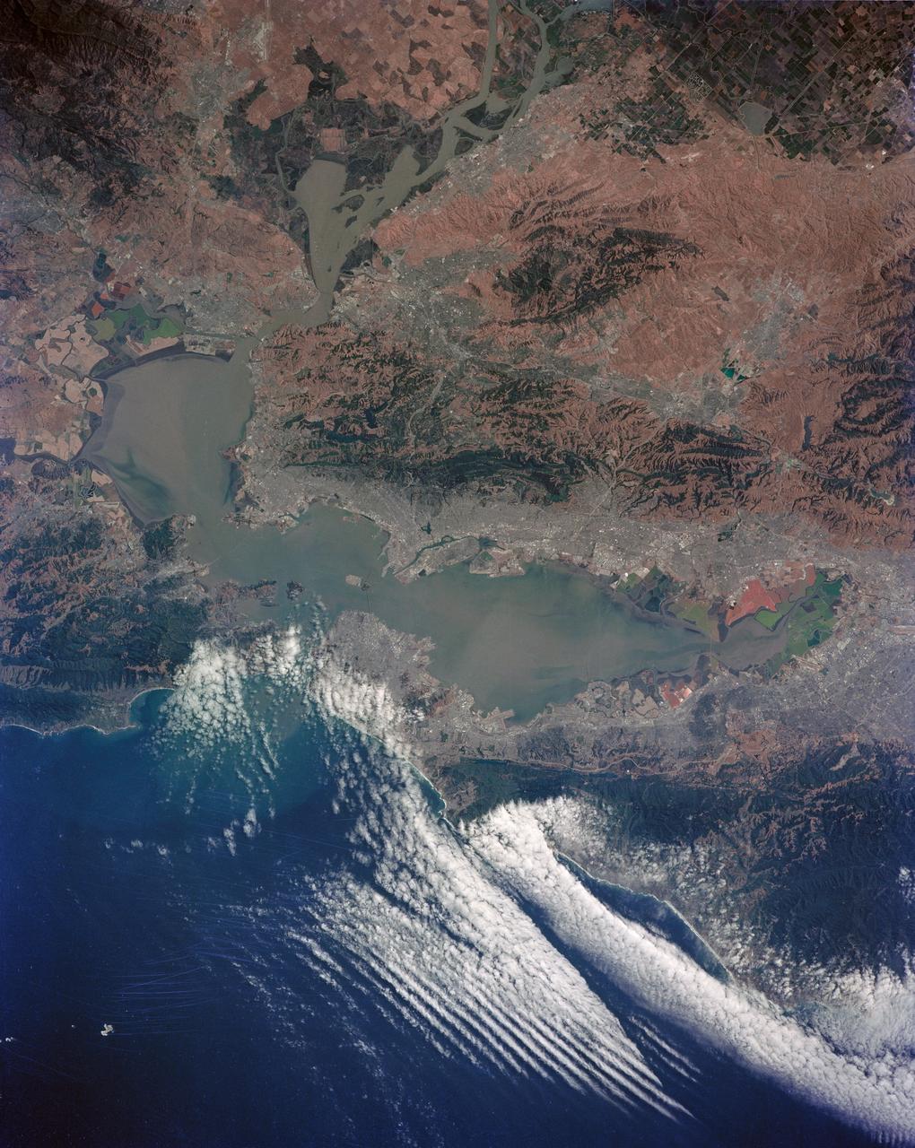
San Francisco and Bay Area, CA, USA
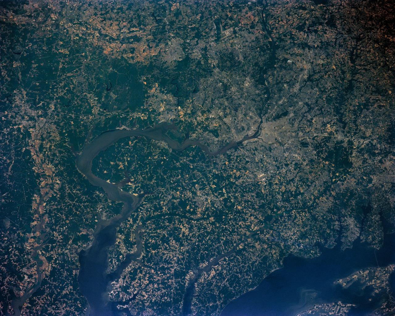
STS040-152-100 (5-14 June 1991) --- Although clouds obscure part of the city of San Francisco and the mouth of San Francisco Bay, development and physiographic features in the immediate vicinity of the bay are well displayed. The photograph clearly shows the eastern part of the city, including the Embarcadero, the Bay Bridge, which was damaged in the 1989 earthquake, and Candlestick Park, San Mateo, and Dumbarton Bridges, cross the southern portion of the bay. Vari-colored salt ponds also rim the southern Bay near Moffett Field. Highway 280 runs along the San Andreas fault south of the city. On the eastern margin of the bay are Berkeley the Sacramento River and the Haywood and Calaveras faults.
- Date
- 1991-06-14
- Collection
- JSC
- Archive
- NASA Image and Video Library
- Type
- photograph
Public domainsafest
Reason: a NASA work: not copyrighted in the United States.
Read from: NASA media usage guidelines: NASA material is not copyrighted in the US unless noted; no third-party credit or mark found.
Credit line
"San Francisco and Bay Area, CA, USA" (1991-06-14). NASA/JSC. Public domain. https://images.nasa.gov/details/s40-152-100Need photos for a whole script? Add Find Any Photo to Claude and ask for this one by its id: 15235.
More like this
San Francisco and Bay Area, CA, USA
1991-05-06 · NASA Image and Video Library
San Francisco and Bay Area, CA, USA
1991-05-06 · NASA Image and Video Library
San Francisco and Bay Area, CA, USA
1973-06-22 · NASA Image and Video Library
San Francisco Bay, California as seen from STS-59
1994-04-14 · NASA Image and Video Library
California, San Francisco Bay area
1981-04-14 · NASA Image and Video Library
Earth Observation from space taken during Mission STS-111 UF-2.
2002-06-17 · NASA Image and Video Library
Northern California near San Francisco
1974-01-01 · NASA Image and Video Library
Washington D.C. region, USA
1991-06-14 · NASA Image and Video Library