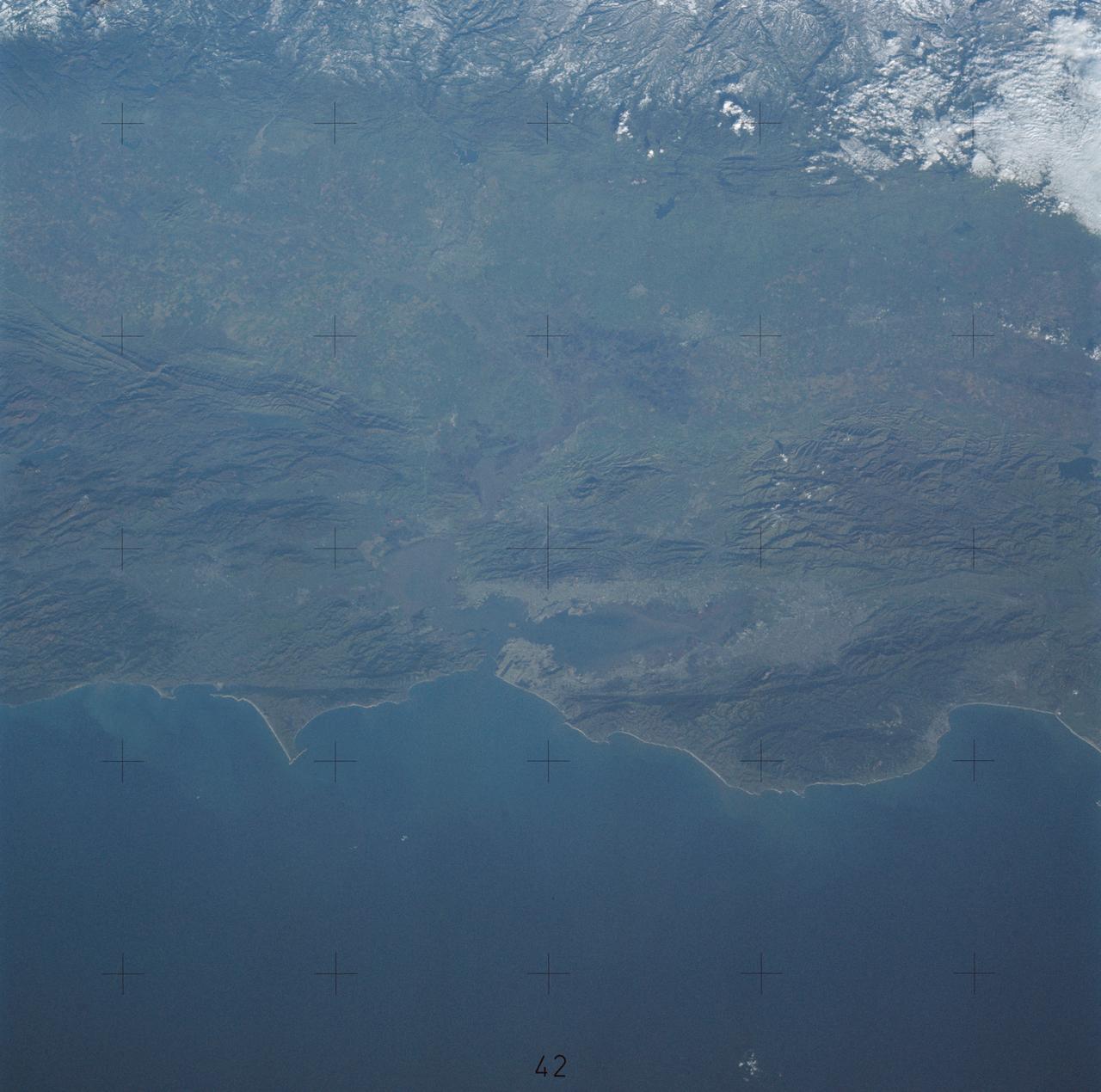
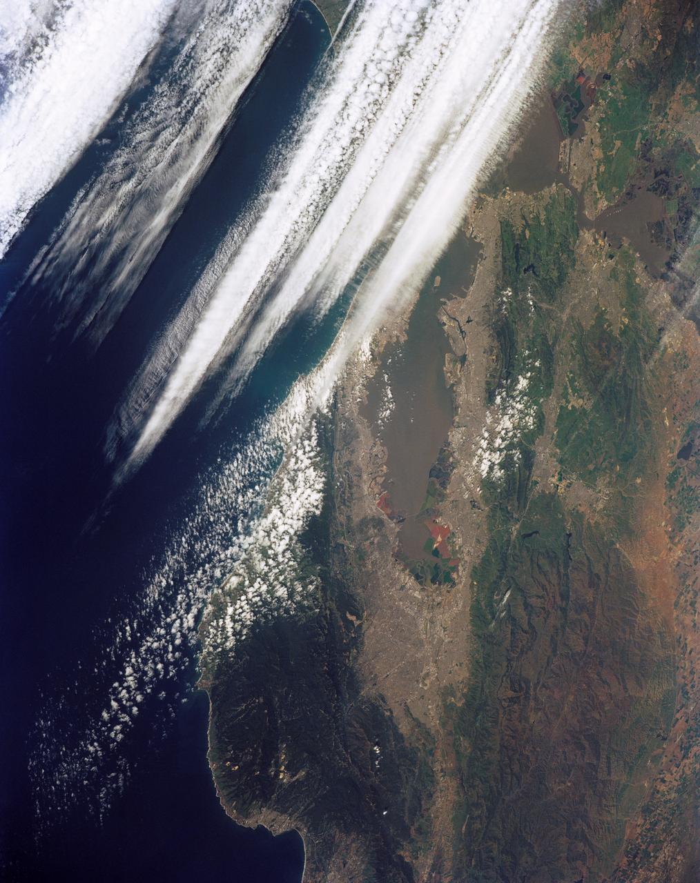
Northern California near San Francisco
SL4-138-3843 (1 Jan. 1974) --- A part of northern California centered near San Francisco Bay photographed at 3 p.m. Jan. 2, 1974, from the Skylab space station in Earth orbit. This near vertical view encompasses the coastline from Monterey Bay (right) to about 50 miles north of Point Reyes (left) and includes, from bottom to top, San Francisco Bay (center), Sacramento Valley (left center), San Joaquin Valley (right center), and the snow-covered Sierra Nevada. Afternoon shadows sharply delineate a valley which parallels San Francisco Bay, crosses Point Reyes, and lies between the Bay and the Pacific coastline. This valley marks the location of the San Andreas Fault, a major break in the Earth's crust. Forces acting on the crust are causing the land west (bottom) of the fault line to move north relative to land on the east side. The Skylab 4 astronauts photographed major fault zones in South America, New Zealand, Japan and Africa for use in the study of worldwide tectonic system. Agricultural areas in the Sacramento and San Joaquin Valleys are indicated by the tan areas which are easily discerned in contrast to the green-gray background. Photo credit: NASA
- Date
- 1974-01-01
- Collection
- JSC
- Archive
- NASA Image and Video Library
- Type
- photograph
Public domainsafest
Reason: a NASA work: not copyrighted in the United States.
Read from: NASA media usage guidelines: NASA material is not copyrighted in the US unless noted; no third-party credit or mark found.
Credit line
"Northern California near San Francisco" (1974-01-01). NASA/JSC. Public domain. https://images.nasa.gov/details/sl4-138-3843Need photos for a whole script? Add Find Any Photo to Claude and ask for this one by its id: 13822.
More like this
California, San Francisco Bay area
1981-04-14 · NASA Image and Video Library
San Francisco and Bay Area, CA, USA
1973-06-22 · NASA Image and Video Library
View of the Salinas River Valley area south of Monterey Bay, California
1973-08-15 · NASA Image and Video Library
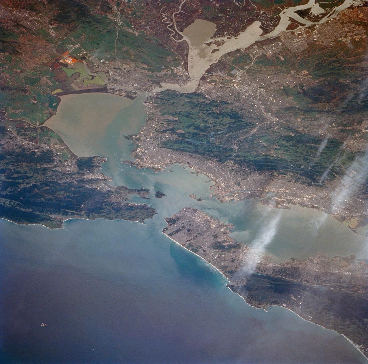
San Francisco Bay, California as seen from STS-59
1994-04-14 · NASA Image and Video Library
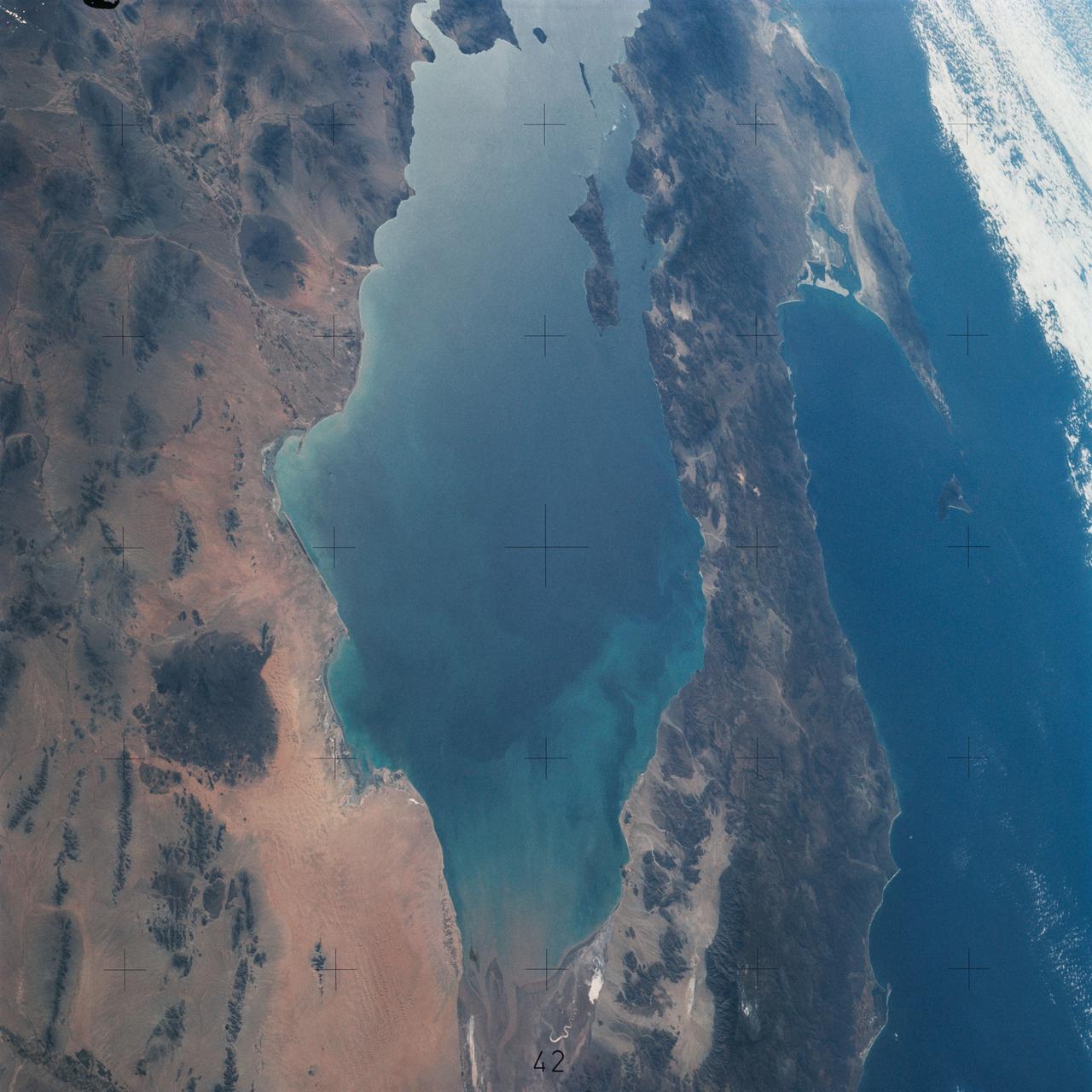
Northwestern Mexico as photographed from Skylab
1975-01-27 · NASA Image and Video Library
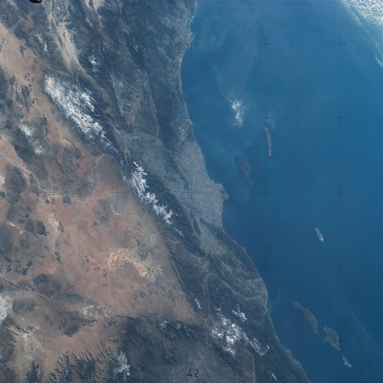
Pacific Coast of Southern California including Los Angeles and San Diego
1974-02-01 · NASA Image and Video Library
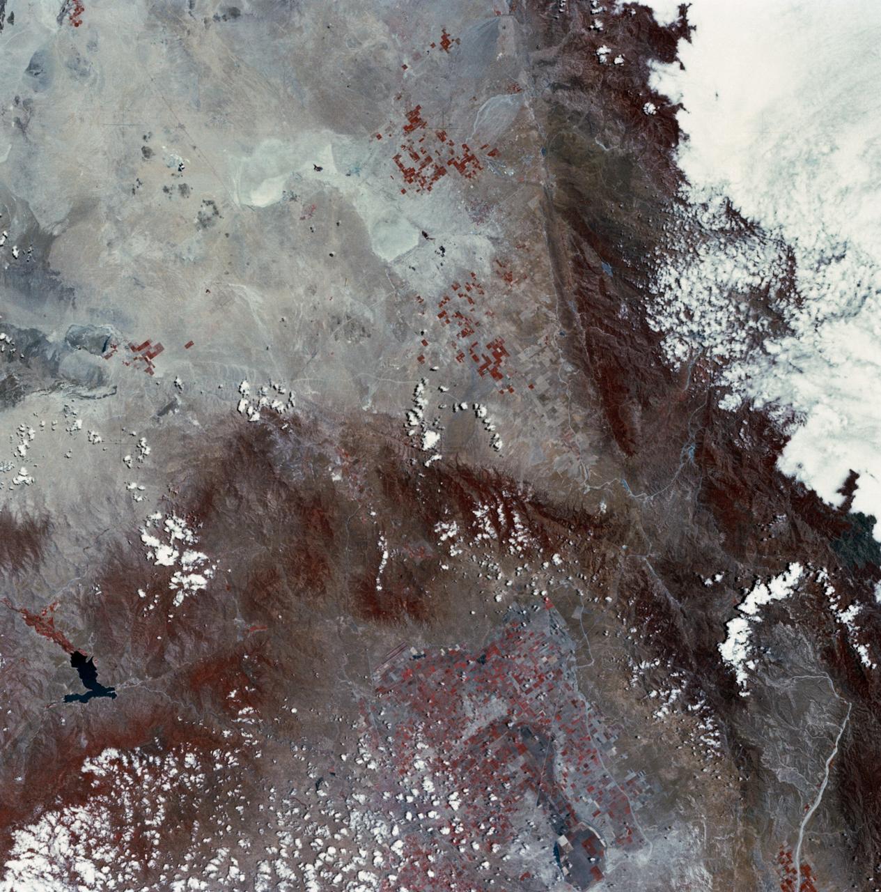
Mojave Desert, California
1973-06-22 · NASA Image and Video Library
San Francisco and Bay Area, CA, USA
1991-05-06 · NASA Image and Video Library