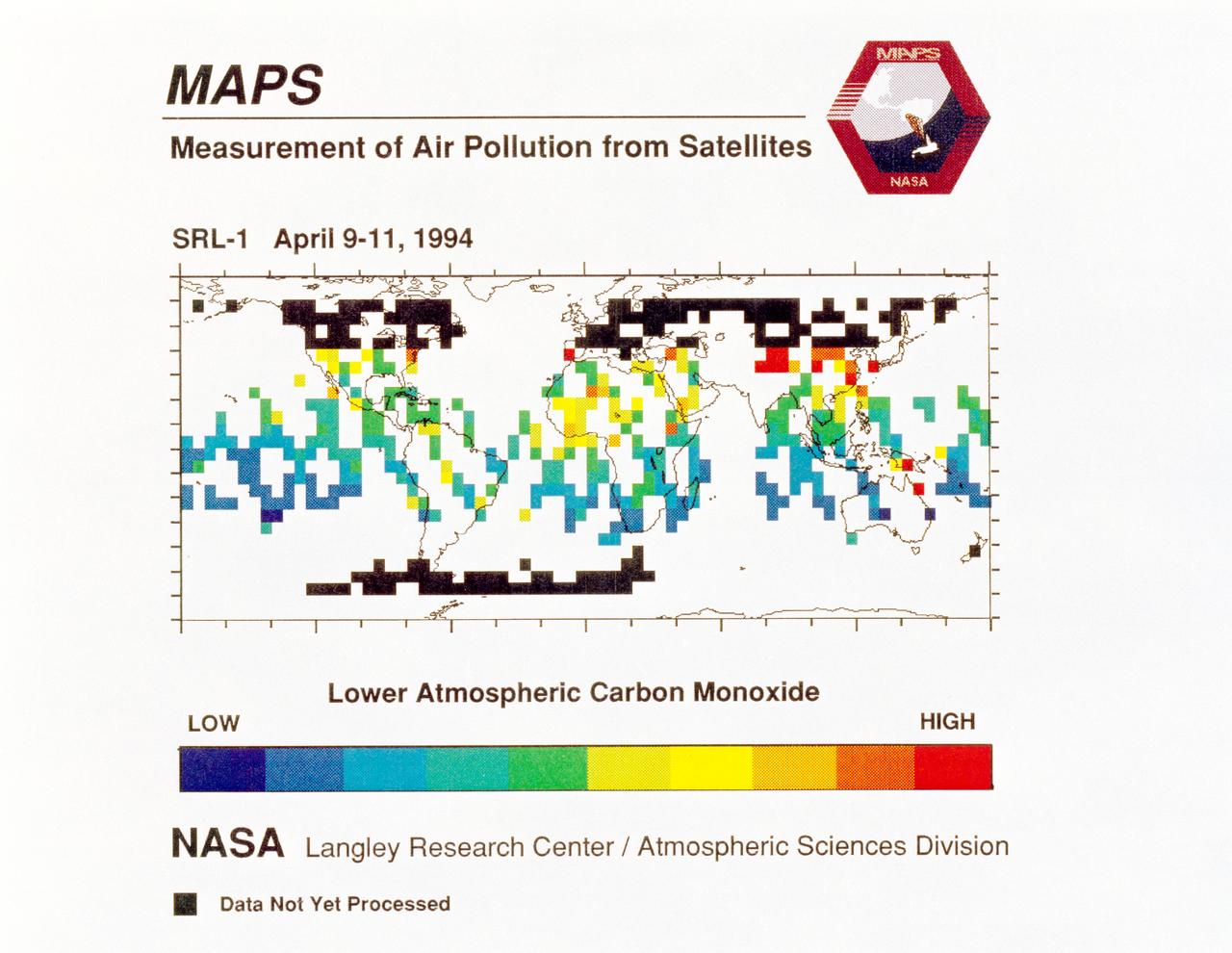
STS-59 MAPS experiment view
STS059-S-040 (12 April 1994) --- STS-59's MAPS (Measurement of Air Pollution from Satellites) experiment is sending real-time data that provides the most comprehensive view of carbon monoxide concentrations on Earth ever recorded. This computer image shows a summary of "quick look" data obtained by the MAPS instrument during its first days of operations as part of the Space Shuttle Endeavour's SRL-1 payload. This data will be processed using more sophisticated techniques following the flight. The color red indicates areas with the highest levels of carbon monoxide. These Northern Hemisphere springtime carbon monoxide values are generally significantly higher than the values found in the Southern Hemisphere. This is in direct contrast to the data obtained by the MAPS experiment during November 1981 and October 1984, i.e. during Northern Hemisphere fall. The astronauts aboard Endeavour have seen fires in most of the areas showing higher carbon monoxide values (China, Eastern Australia, and equatorial Africa). The relationship between the observed fires and the higher carbon monoxide values will be investigated following SRL-1 by combining the MAPS data with meteorological data, surfa
- Date
- 1994-04-12
- Collection
- JSC
- Archive
- NASA Image and Video Library
- Type
- photograph
Public domainsafest
Reason: a NASA work: not copyrighted in the United States.
Read from: NASA media usage guidelines: NASA material is not copyrighted in the US unless noted; no third-party credit or mark found.
Credit line
"STS-59 MAPS experiment view" (1994-04-12). NASA/JSC. Public domain. https://images.nasa.gov/details/sts059-s-040Need photos for a whole script? Add Find Any Photo to Claude and ask for this one by its id: 15767.
More like this
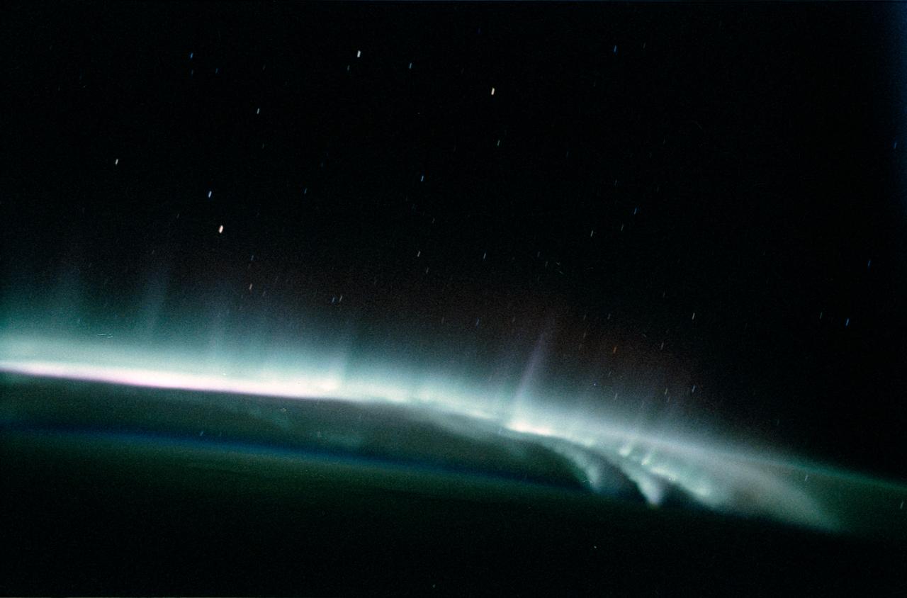
Aurora Australis as seen from STS-62
1994-03-05 · NASA Image and Video Library
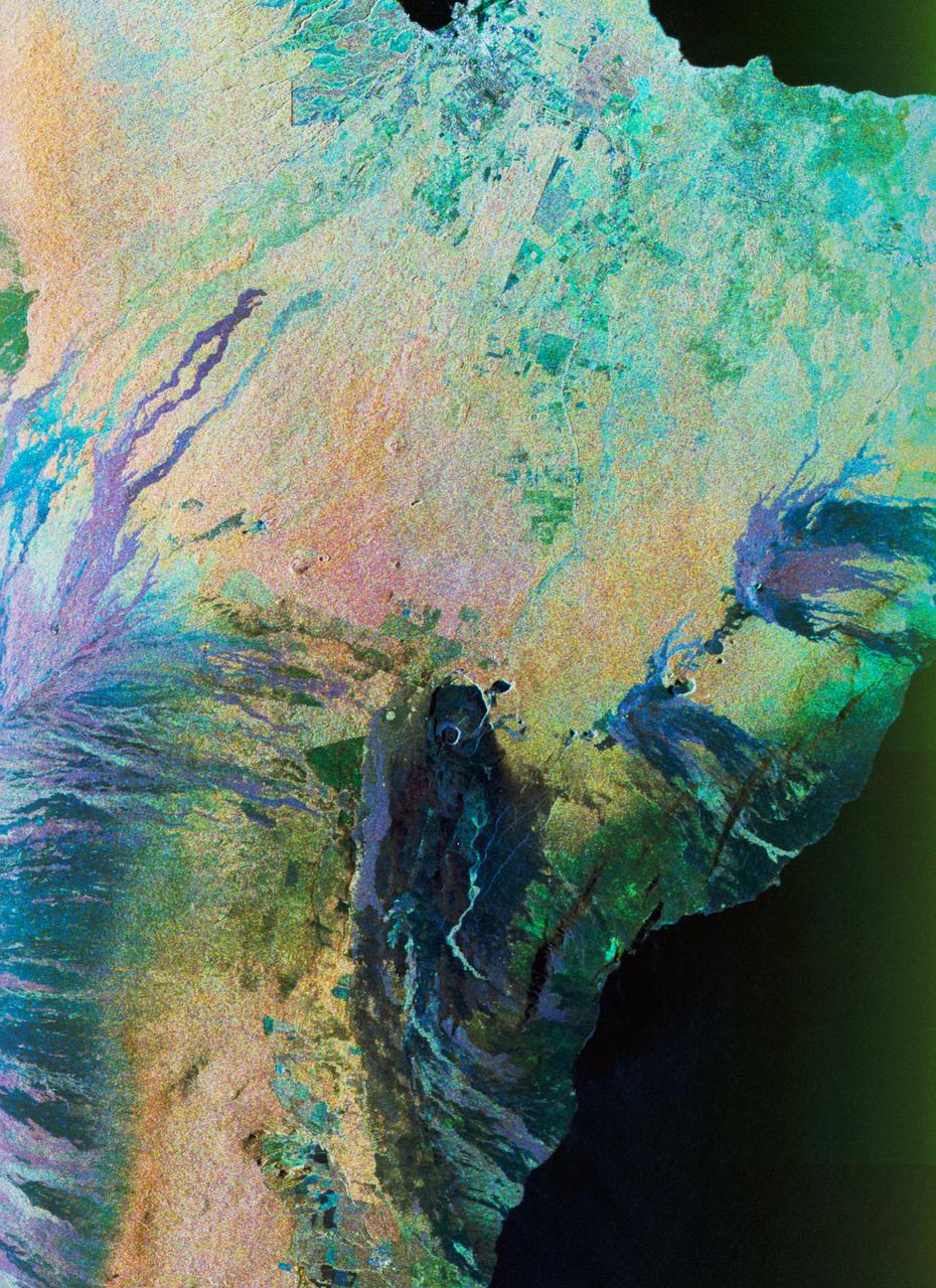
Color composite C-band and L-band image of Kilauea volcanoe on Hawaii
1994-04-15 · NASA Image and Video Library

SPIFEX at work on end of RMS arm
1994-09-10 · NASA Image and Video Library
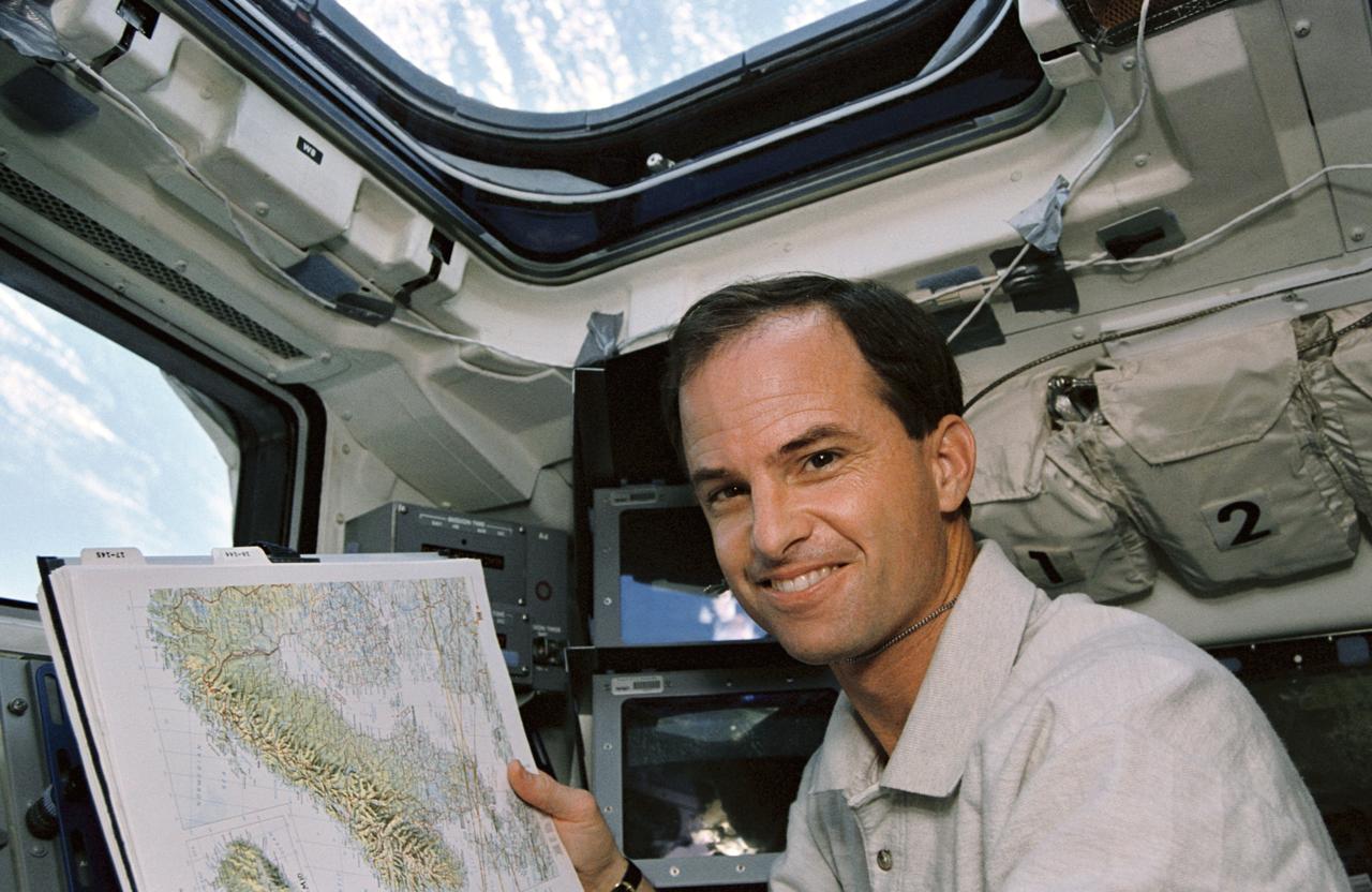
Astronaut Kevin Chilton displays map of Scandinavia on flight deck
1994-04-14 · NASA Image and Video Library
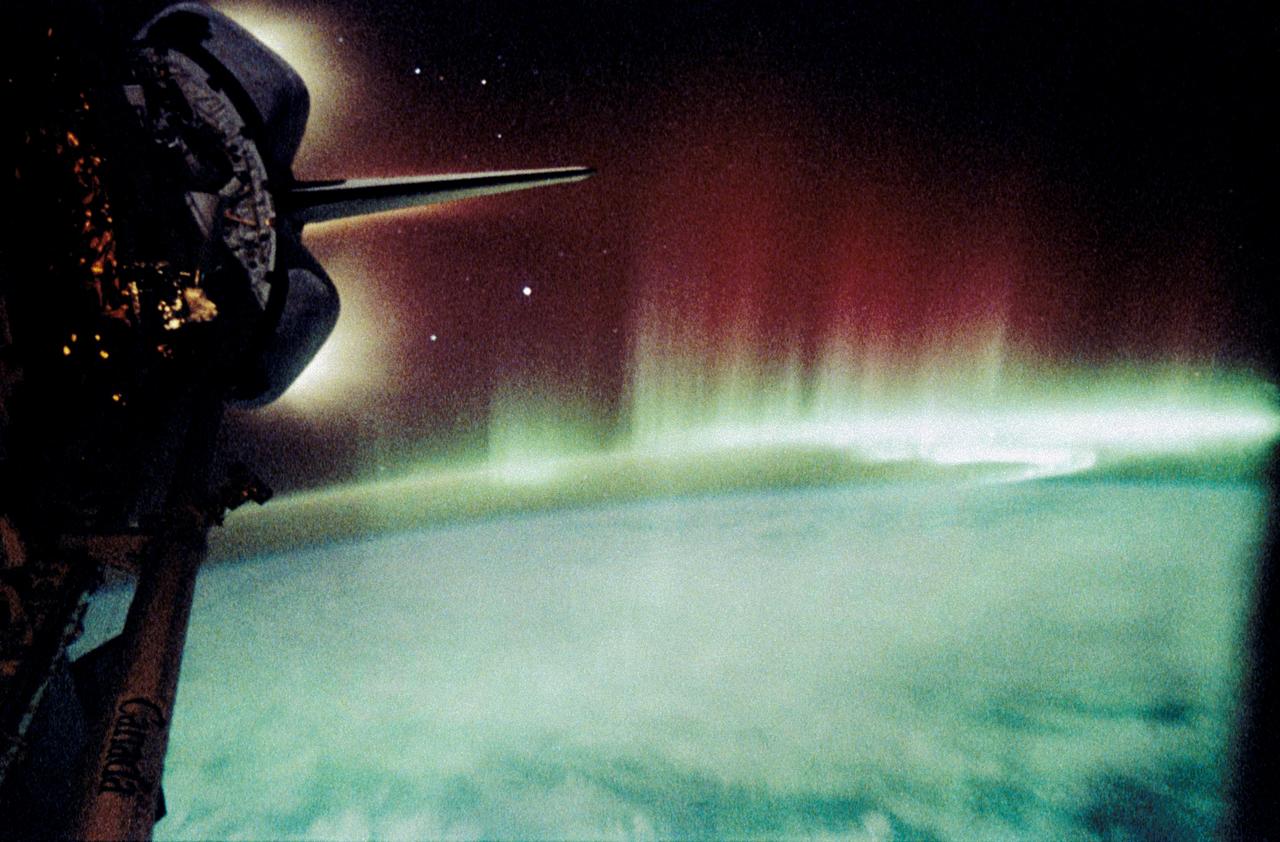
Aurora Australis, Spiked and Sinuous Red and Green Airglow
1991-05-06 · NASA Image and Video Library
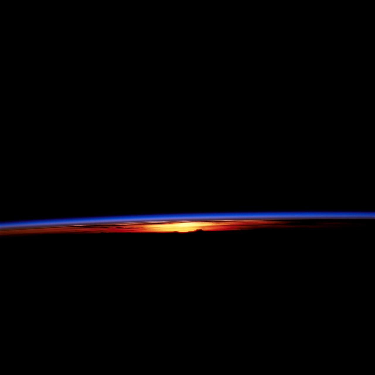
STS-67 sunset and earth limb view
1995-03-17 · NASA Image and Video Library
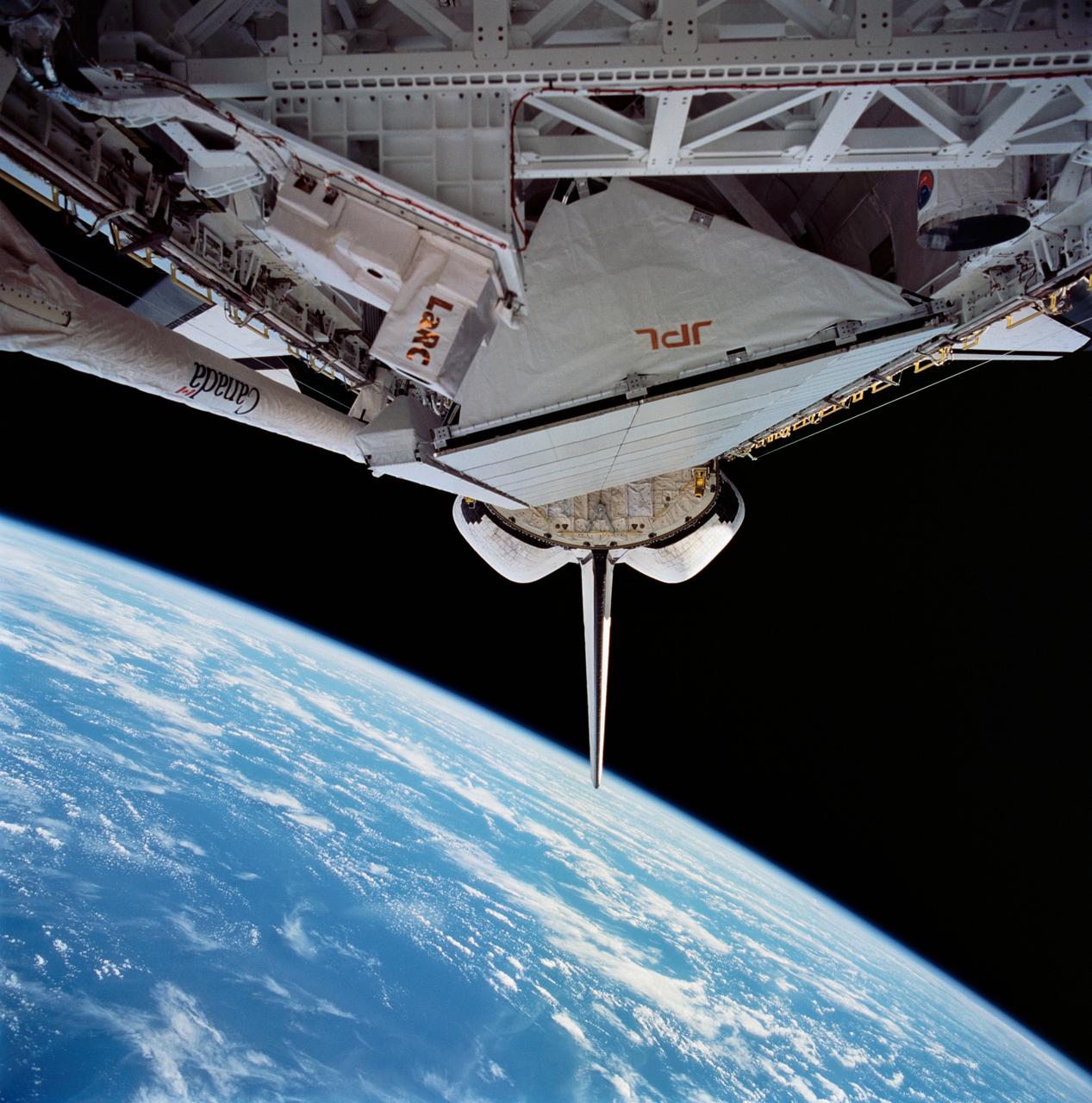
View of STS-59 Endeavour's payload bay featuring Space Radar Laboratory
1994-04-10 · NASA Image and Video Library
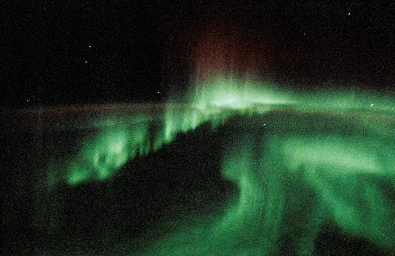
STS-47 view of the Aurora Australis
1992-09-20 · NASA Image and Video Library