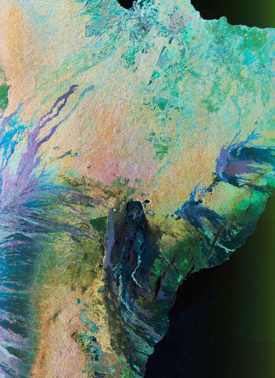
Color composite C-band and L-band image of Kilauea volcanoe on Hawaii
STS059-S-074 (15 April 1994) --- This color composite C-Band and L-Band image of the Kilauea volcano on the big island of Hawaii was acquired by the Spaceborne Imaging Radar-C and X-Band Synthetic Aperture Radar (SIR-C/X-SAR) flying on the Space Shuttle Endeavour. The city of Hilo can be seen at the top. The image shows the different types of lava flows around the crater Pu'u O'o. Ash deposits which erupted in 1790 from the summit of Kilauea volcano show up as dark in this image, and fine details associated with lava flows which erupted in 1919 and 1974 can be seen to the south of the summit in an area called the Ka'u Desert. In addition, the other historic lava flows created in 1881 and 1984 from Mauna Loa volcano (out of view to the left of this image) can easily be seen despite the fact that the surrounding area is covered by forest. Such information will be used to map the extent of such flows, which can pose a hazard to the subdivisions of Hilo. Highway 11 is the linear feature running from Hilo to the Kilauea volcano. The Kilauea volcano has been almost continuously active for more than the last 11 years. Field teams that were on the ground specifically to support these radar
- Date
- 1994-04-15
- Collection
- JSC
- Archive
- NASA Image and Video Library
- Type
- photograph
Public domainsafest
Reason: a NASA work: not copyrighted in the United States.
Read from: NASA media usage guidelines: NASA material is not copyrighted in the US unless noted; no third-party credit or mark found.
Credit line
"Color composite C-band and L-band image of Kilauea volcanoe on Hawaii" (1994-04-15). NASA/JSC. Public domain. https://images.nasa.gov/details/sts059-s-074Need photos for a whole script? Add Find Any Photo to Claude and ask for this one by its id: 15035.
More like this
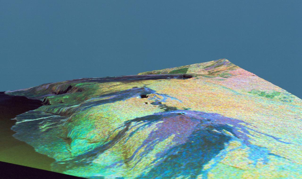
Three dimensional perspective view of false-color image of eastern Hawaii
1994-04-18 · NASA Image and Video Library
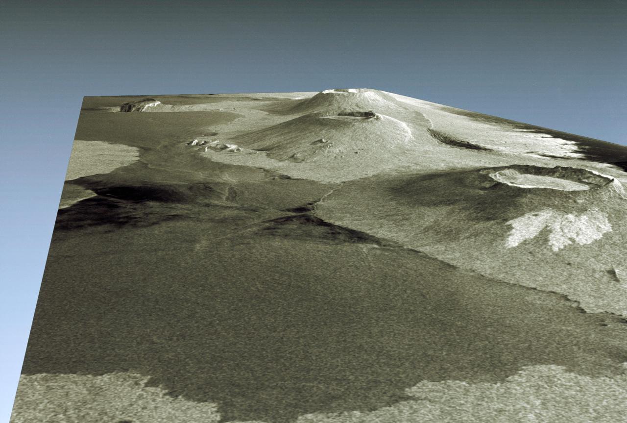
Three dimensional perspective view of portion of western Galapagos Islands
1994-04-18 · NASA Image and Video Library
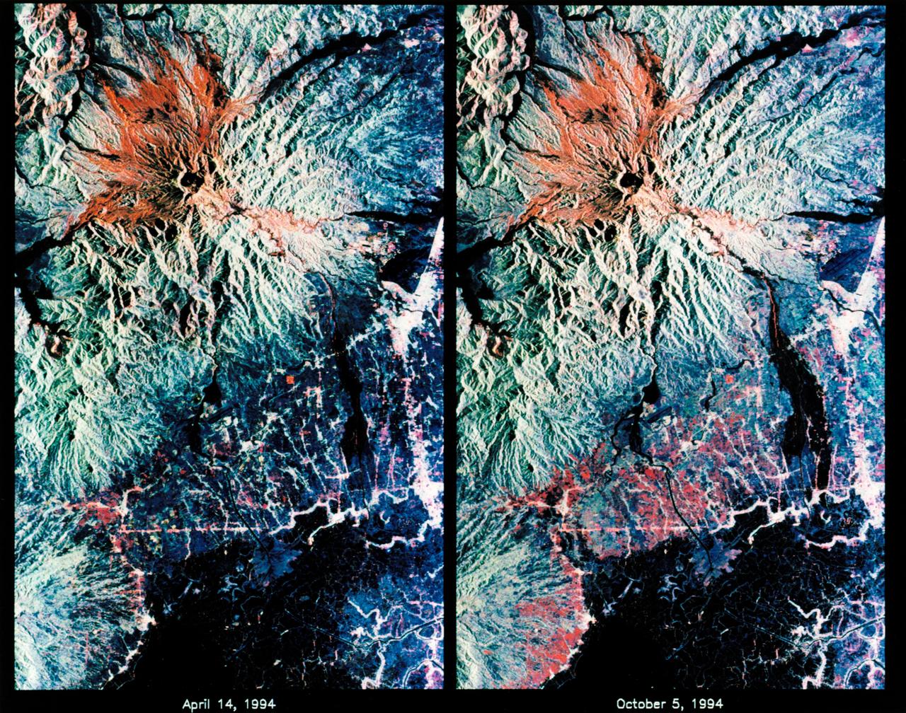
STS-68 radar image: Mt. Pinatubo, Philippines
1994-10-07 · NASA Image and Video Library
False-color L-band image of Manaus region of Brazil
1994-04-13 · NASA Image and Video Library
New Guinea volcano (Rabaul) as seen from STS-64
1994-09-29 · NASA Image and Video Library
View of New Guinea Volcano as seen from STS-64
1994-09-20 · NASA Image and Video Library
View of STS-59 Endeavour's payload bay featuring Space Radar Laboratory
1994-04-10 · NASA Image and Video Library
Mt. Etna, Sicily as seen from STS-62
1994-03-05 · NASA Image and Video Library