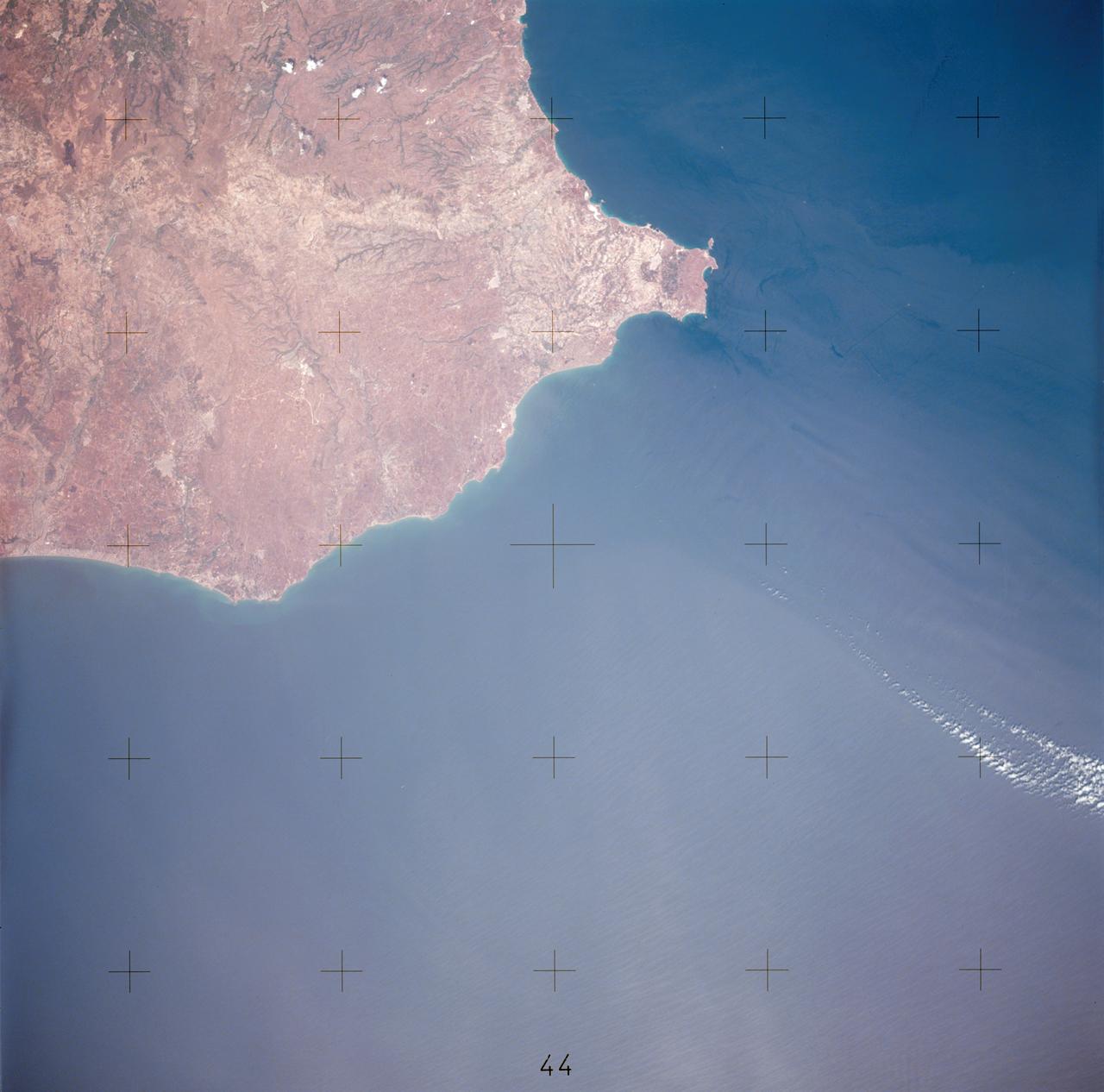
View of southerly portion of Island of Sicily
AST-17-1378 (20 July 1975) --- A near vertical view of the most southerly portion of the Island of Sicily in the Mediterranean Sea, as photographed from the Apollo spacecraft in Earth orbit during the joint U.S.-USSR Apollo-Soyuz Test Project mission. This view includes the towns of Gala, Pachino, Avela and Pozzalo. The photograph was taken at an altitude of 228 kilometers (141 statute miles) with a 70mm Hasselblad camera using high-definition aerial Ektachrome SO-242 type film.
- Date
- 1975-07-20
- Collection
- JSC
- Archive
- NASA Image and Video Library
- Type
- photograph
Public domainsafest
Reason: a NASA work: not copyrighted in the United States.
Read from: NASA media usage guidelines: NASA material is not copyrighted in the US unless noted; no third-party credit or mark found.
Credit line
"View of southerly portion of Island of Sicily" (1975-07-20). NASA/JSC. Public domain. https://images.nasa.gov/details/ast-17-1378Need photos for a whole script? Add Find Any Photo to Claude and ask for this one by its id: 15247.
More like this
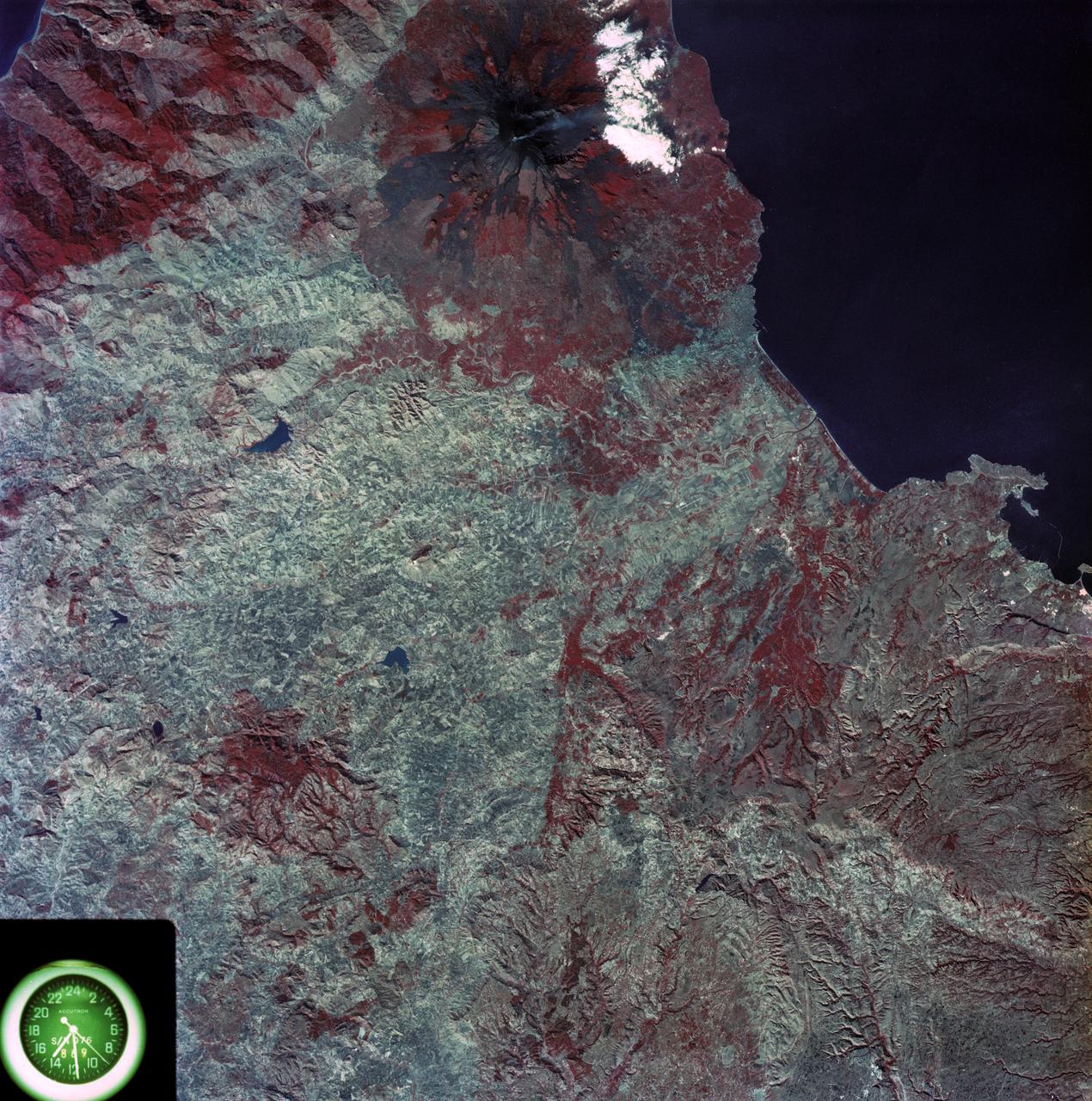
View of eastern coast of Sicily area
1973-08-15 · NASA Image and Video Library
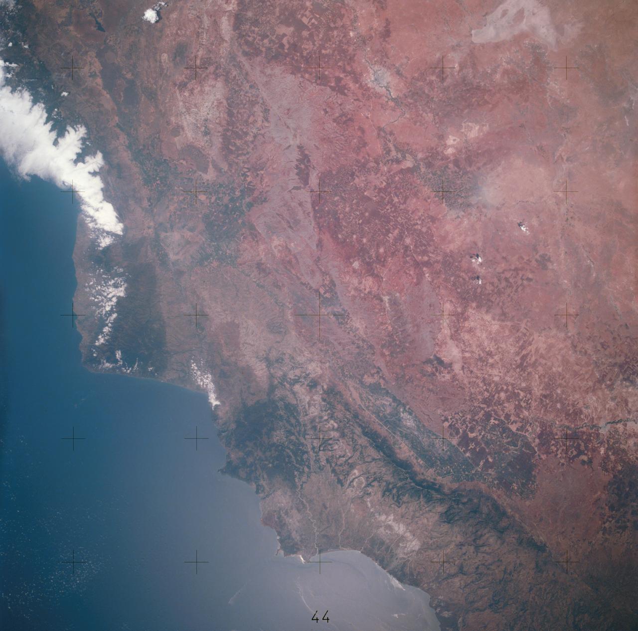
View of portion of Mediterranean Coast of Turkey and Syria
1975-07-20 · NASA Image and Video Library
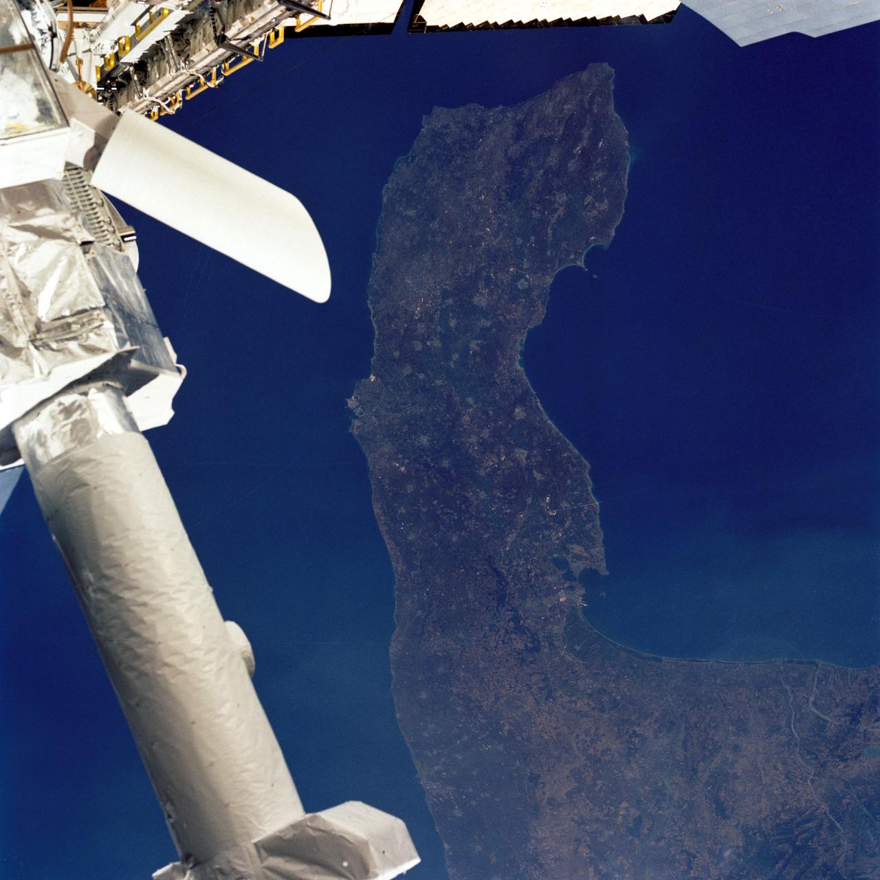
Southern Italy, Instrument Pointing Subsystem
1985-08-06 · NASA Image and Video Library

Earth observations taken from Space Shuttle Columbia during STS-78 mission
1996-06-28 · NASA Image and Video Library
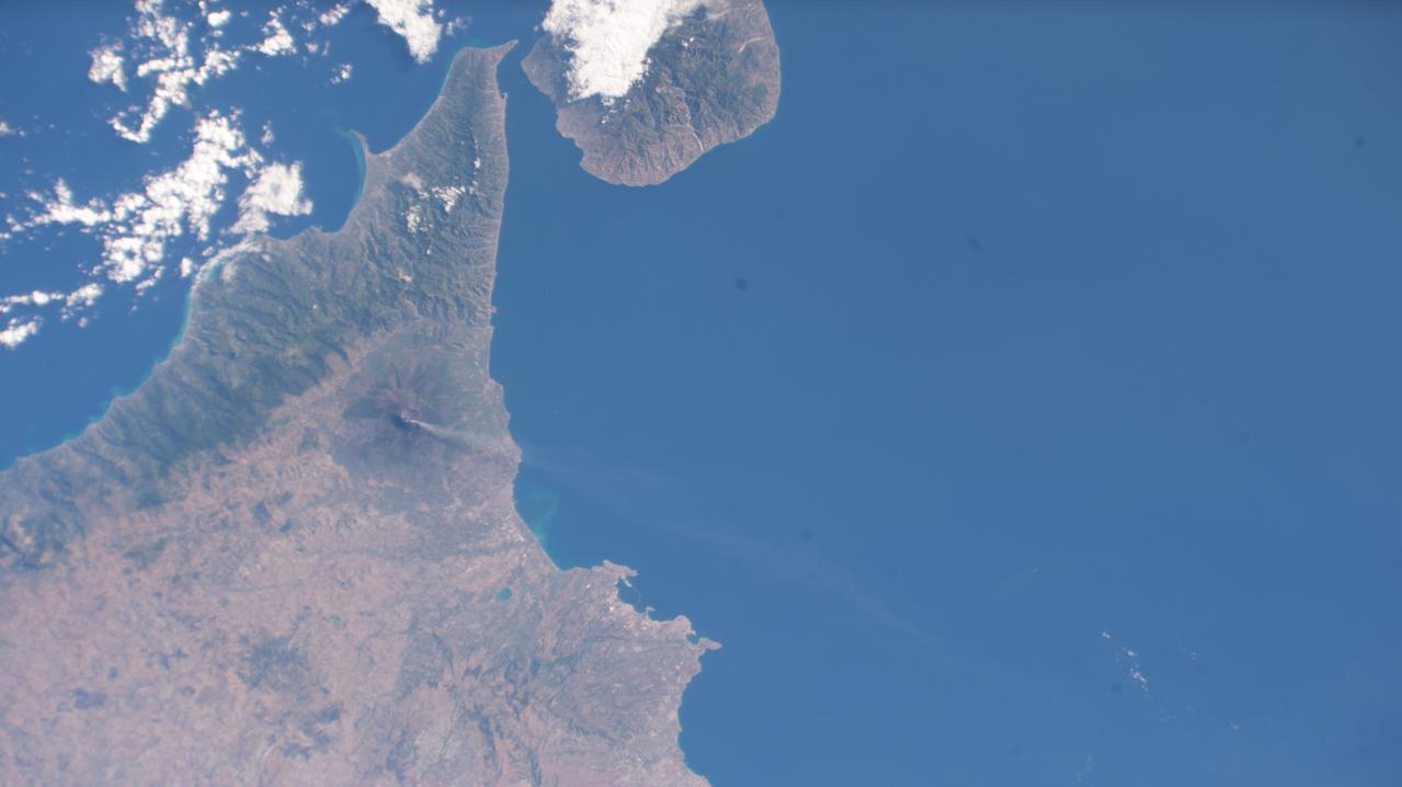
Sicily Seen from the International Space Station as it Orbited 258 Miles Above
2023-07-03 · NASA Image and Video Library
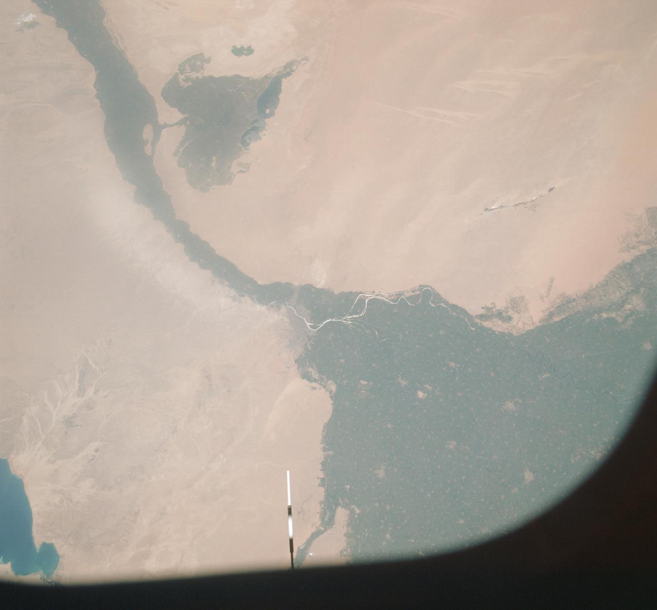
Vertical view of Arab Republic of Egypt from ASTP mission
1975-07-19 · NASA Image and Video Library
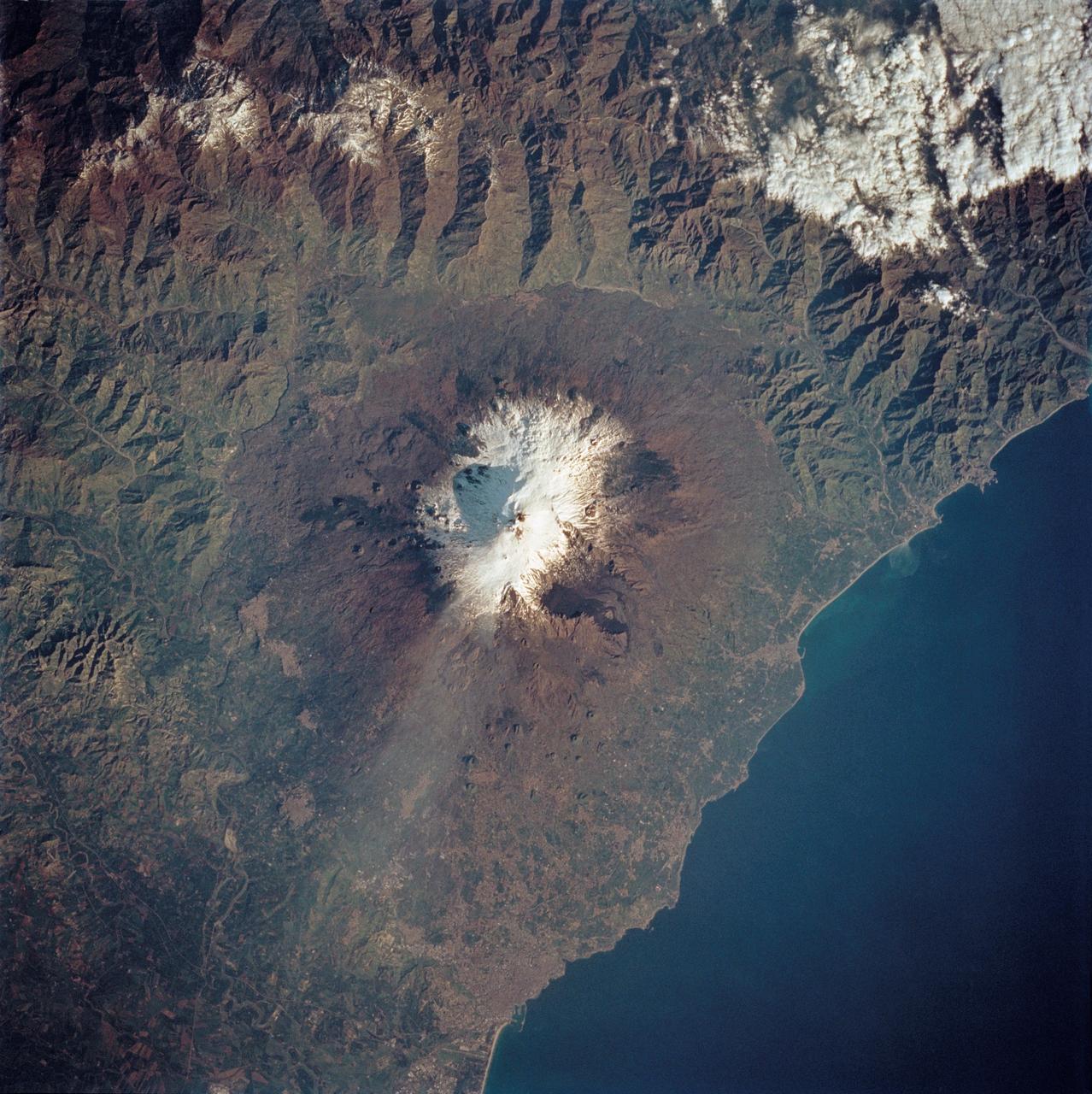
Mt. Etna, Sicily as seen from STS-62
1994-03-05 · NASA Image and Video Library
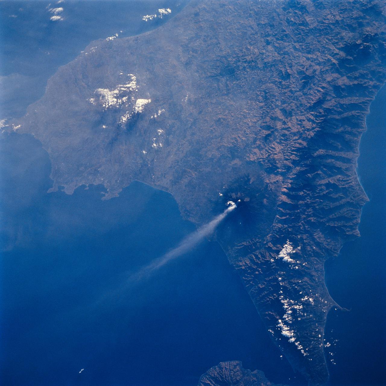
Mt. Etna, Sicily as seen from STS-64
1994-09-19 · NASA Image and Video Library