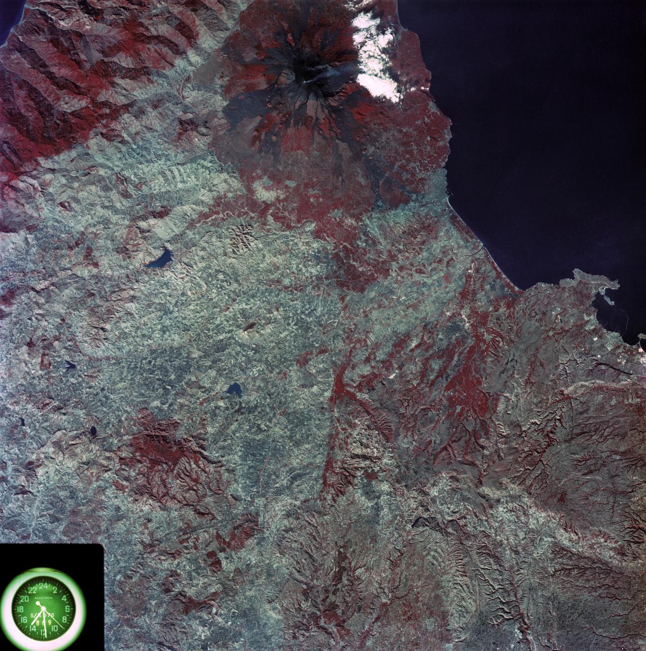
View of eastern coast of Sicily area
SL3-87-355 (July-September 1973) --- A vertical view of the eastern coast of Sicily area is seen in this Skylab 3 Earth Resources Experiments Package S190-B (five-inch earth terrain camera) infrared photograph taken from the Skylab space station in Earth orbit. Mount Etna, the highest volcano in Europe (10,958 feet), is still active as evidenced by the thin plume of smoke emanating from its crest. (The altitude is approximate because the height of the volcano changes with each eruption). On the flanks of Etna recent lava flows appear black in contrast to the older flows and volcanic debris that are red. Numerous small, circular cinder cones on the flanks represent sites of previous eruptions. Catania, on the Mediterranean coast south of Etna, is the largest of several cities and villages which appear as light-gray patches on the lower slopes of the volcano. Plano de Catania, south of the city of Catania, is outlined by polygonal light and dark agricultural tracts. Several lakes, the largest of which is Lake Pozzillo, show up as dark blue in the photograph. The unusual colors in the picture are due to the use of color infrared film in which vegetation appears red. This is very evide
- Date
- 1973-08-15
- Collection
- JSC
- Archive
- NASA Image and Video Library
- Type
- photograph
Public domainsafest
Reason: a NASA work: not copyrighted in the United States.
Read from: NASA media usage guidelines: NASA material is not copyrighted in the US unless noted; no third-party credit or mark found.
Credit line
"View of eastern coast of Sicily area" (1973-08-15). NASA/JSC. Public domain. https://images.nasa.gov/details/SL3-87-0355Need photos for a whole script? Add Find Any Photo to Claude and ask for this one by its id: 15018.
More like this
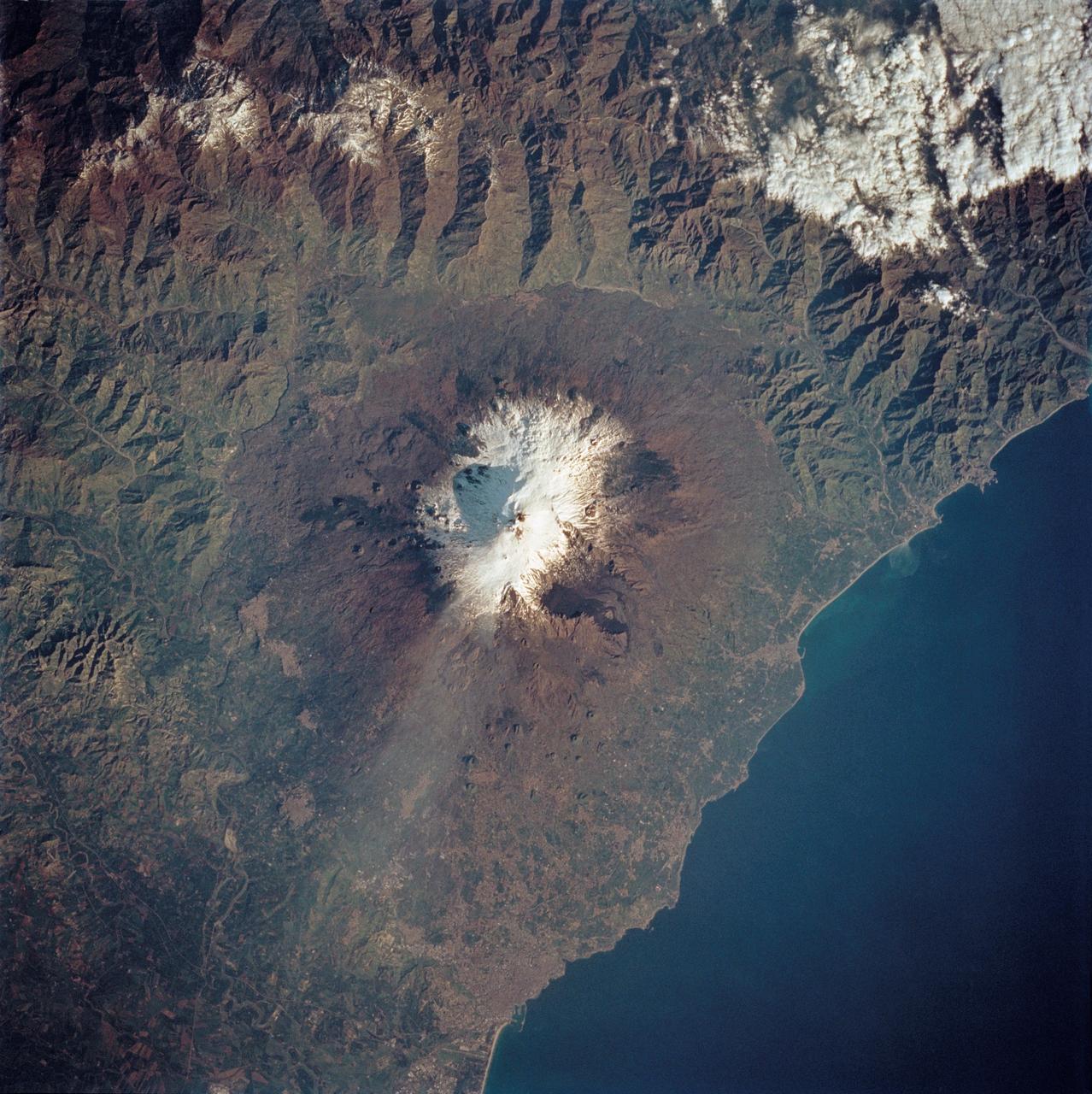
Mt. Etna, Sicily as seen from STS-62
1994-03-05 · NASA Image and Video Library
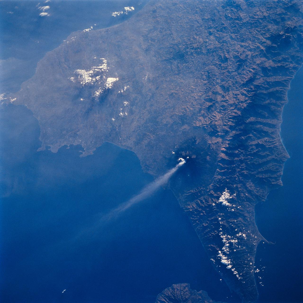
Mt. Etna, Sicily as seen from STS-64
1994-09-19 · NASA Image and Video Library
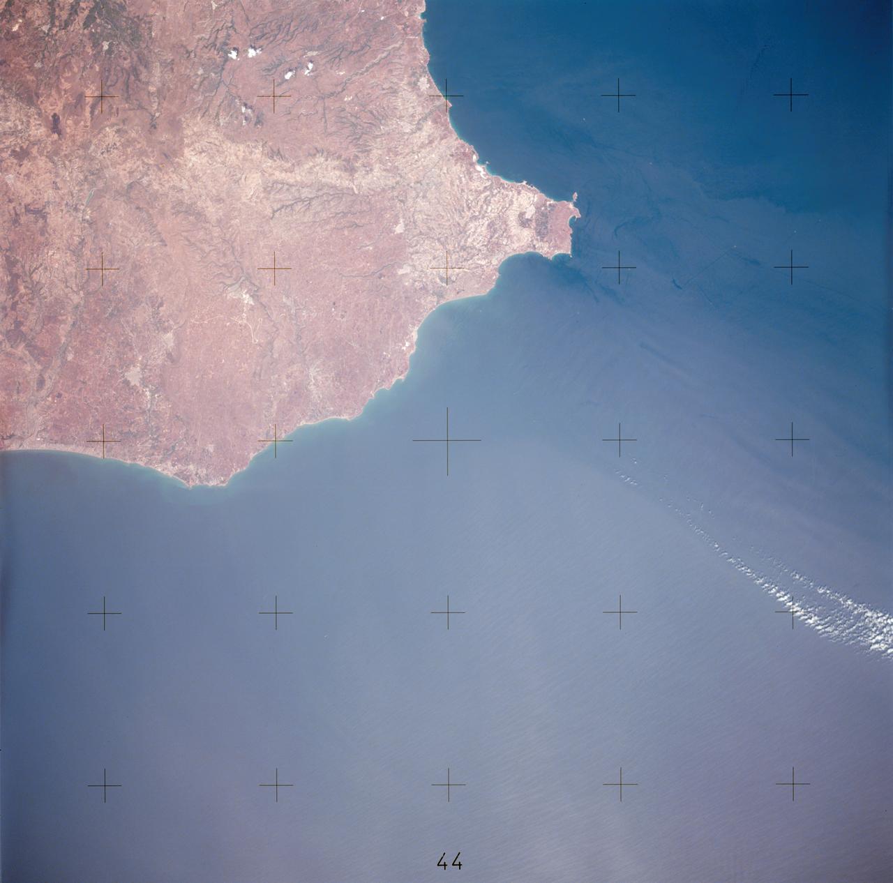
View of southerly portion of Island of Sicily
1975-07-20 · NASA Image and Video Library
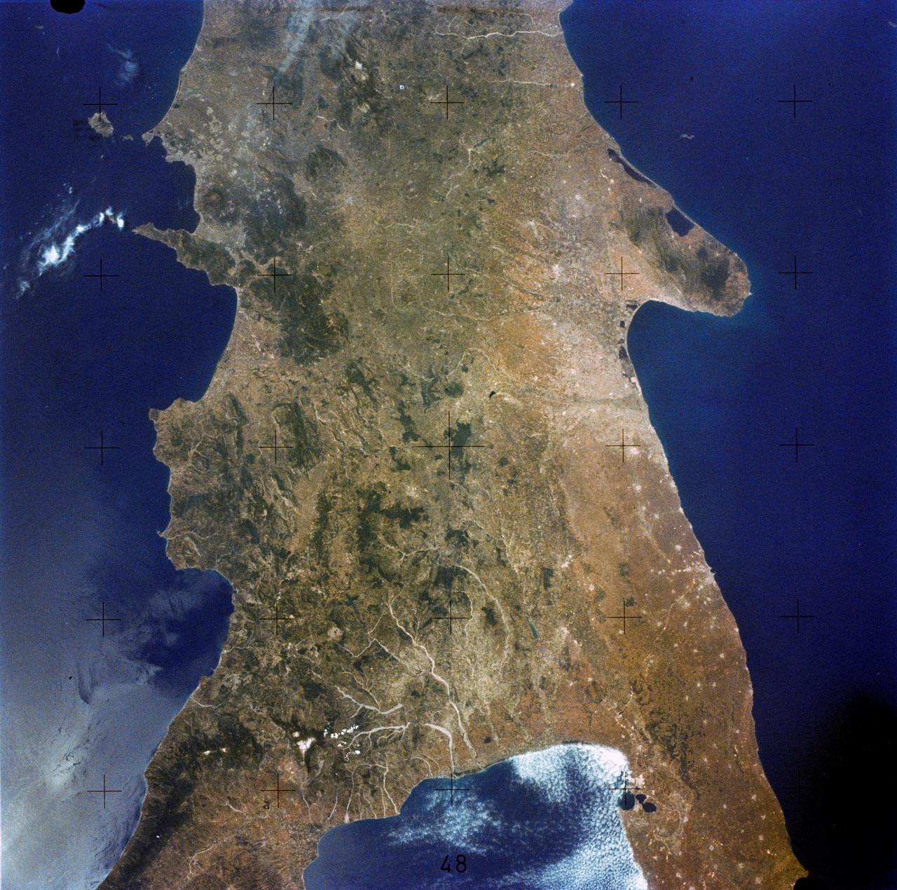
Southern Italy
1973-06-22 · NASA Image and Video Library

View of Florence, Italy area from Skylab
1973-08-01 · NASA Image and Video Library
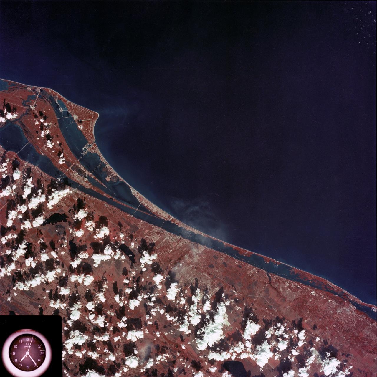
Kennedy Space Center and the Florida Atlantic coast area
1974-02-01 · NASA Image and Video Library
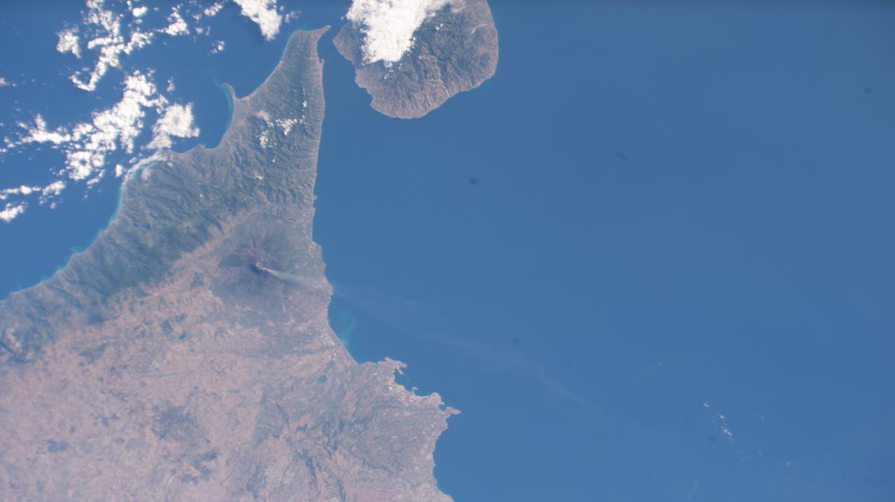
Sicily Seen from the International Space Station as it Orbited 258 Miles Above
2023-07-03 · NASA Image and Video Library
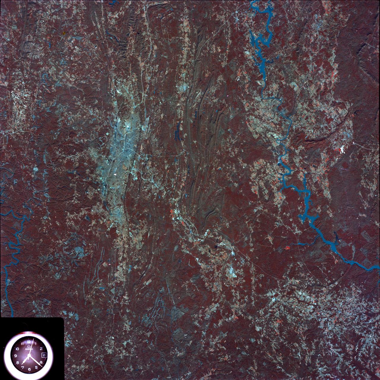
Birmingham and central Alabama area seen in Earth Resources Exp. Package
1974-02-01 · NASA Image and Video Library