
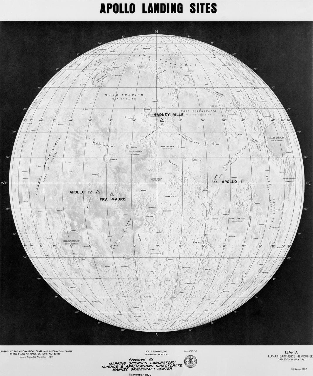
APOLLO LANDING SITES
S72-32719 (March 1972) --- With four of the six planned lunar missions completed, this chart has been prepared to show the various areas of the lunar "nearside" to be visited by astronauts representing the NASA Apollo program. Apollo's 11, 12, 14 and 15 are shown at their respective landing points. Apollo 16 and Apollo 17, planned for later this year at Descartes and Taurus Littrow, respectively, also are depicted on the map.
- Date
- 1972-04-01
- Collection
- JSC
- Archive
- NASA Image and Video Library
- Type
- photograph
Public domainsafest
Reason: a NASA work: not copyrighted in the United States.
Read from: NASA media usage guidelines: NASA material is not copyrighted in the US unless noted; no third-party credit or mark found.
Credit line
"APOLLO LANDING SITES" (1972-04-01). NASA/JSC. Public domain. https://images.nasa.gov/details/S72-32719Need photos for a whole script? Add Find Any Photo to Claude and ask for this one by its id: 7873.
More like this
S70-50761
1970-10-12 · NASA Image and Video Library

LUNAR SITE MAP (APOLLO XV) - MSC
1971-07-16 · NASA Image and Video Library
Photograph of Apollo 17 lunar landing site location
1972-07-01 · NASA Image and Video Library
Lunar Landing Site 2 - Comparisons with Size of Various Metropolitan Areas
1969-07-07 · NASA Image and Video Library
Apollo XII - POTENTIAL LUNAR LANDING SITE - SEA OF STORMS
1969-10-13 · NASA Image and Video Library
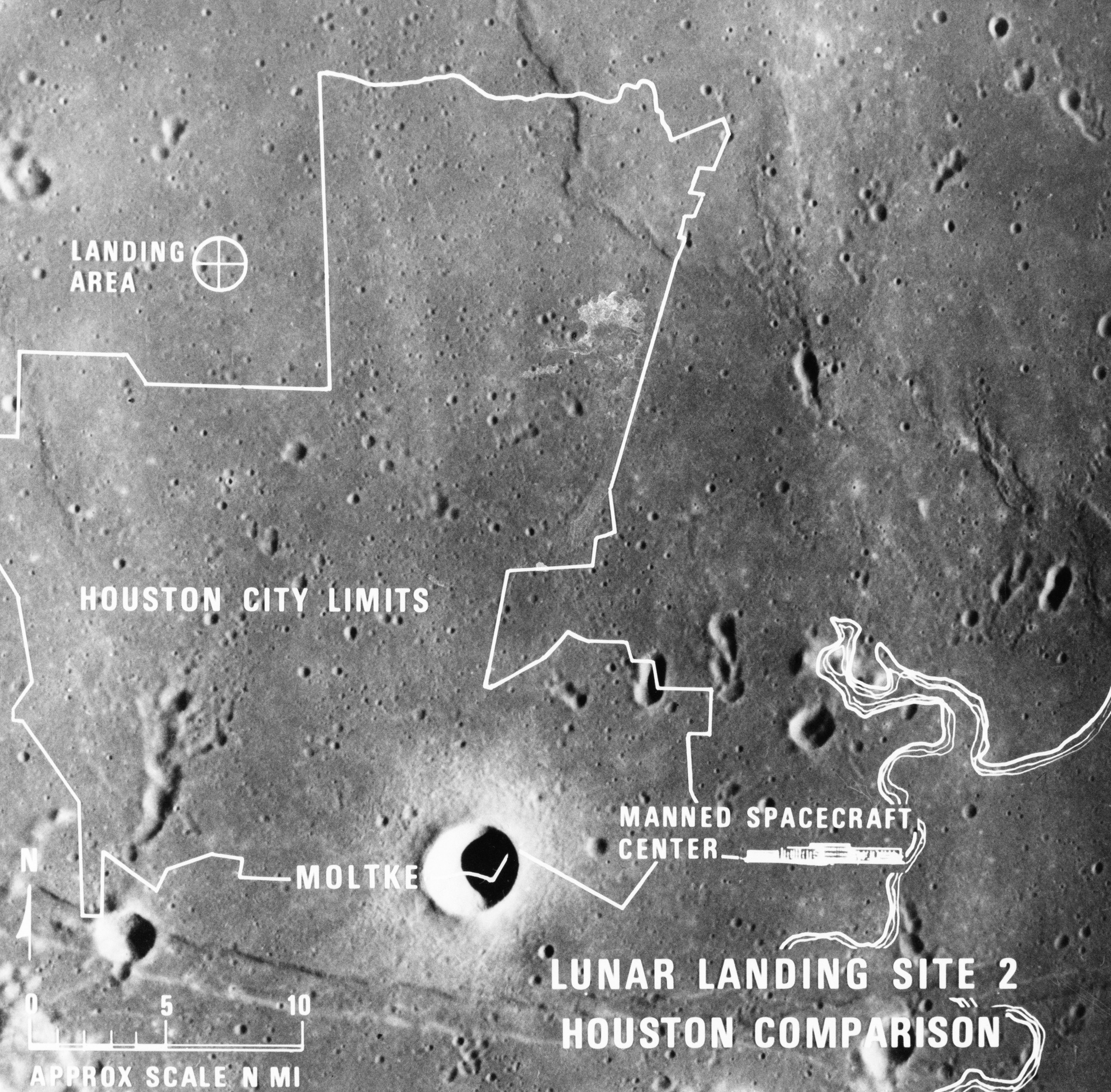
LUNAR LANDING - SITE 2 COMPARISONS
1969-07-07 · NASA Image and Video Library
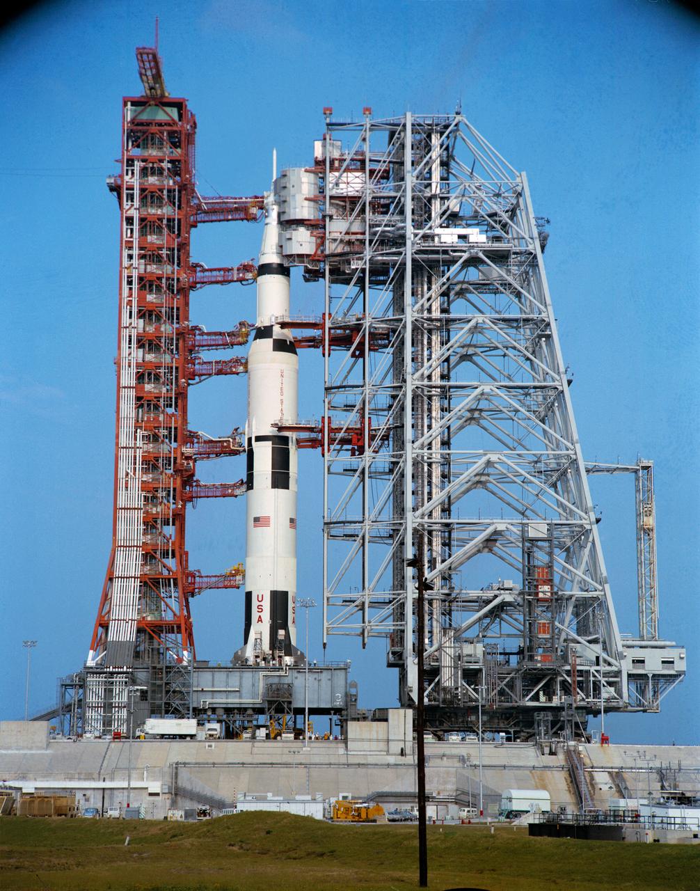
View of Apollo 16 space vehicle at Pad A, Launch Complex 39
1972-03-29 · NASA Image and Video Library
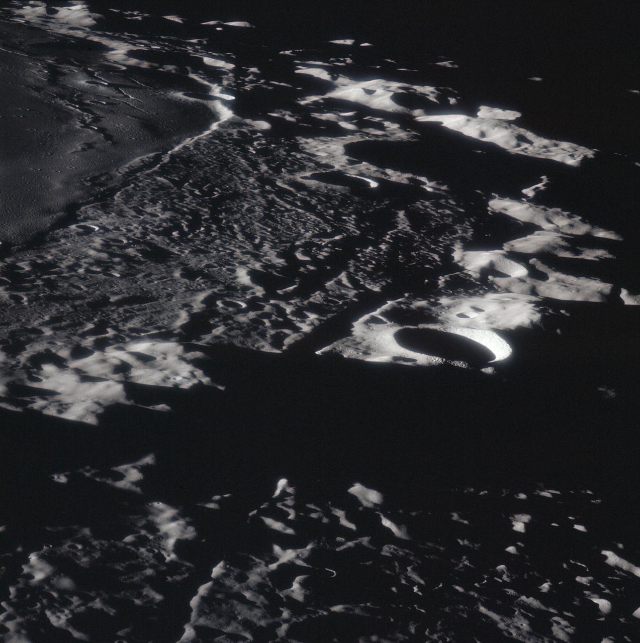
Apollo 16 Mission image - View of the Mersenius C and Rilles Craters.
2009-03-25 · NASA Image and Video Library