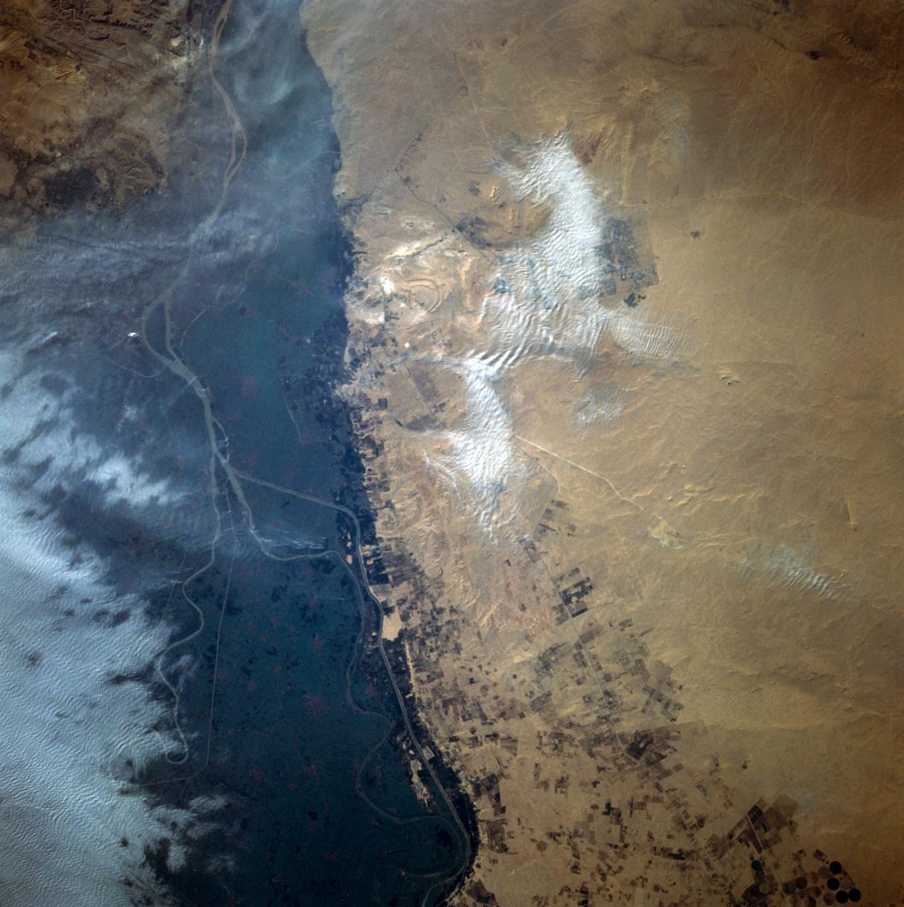
Cairo, Egypt/Nile River viewed from STS-66 Atlantis
This close-up view of the intensively cultivated Nile River flood plain near Cairo presents a sharp color contrast to the virtually non-vegetated, sandy desert, located to the west of the vegetated area. Some rectangular cultivated field patterns, as well as circular center pivot irrigation patterns, can be observed northwest of the Nile River flood plain. The world famous Giza Pyramids are located near the center of this photography (see highly reflective sand surfaces).
- Date
- 1994-11-14
- Collection
- JSC
- Archive
- NASA Image and Video Library
- Type
- photograph
Public domainsafest
Reason: a NASA work: not copyrighted in the United States.
Read from: NASA media usage guidelines: NASA material is not copyrighted in the US unless noted; no third-party credit or mark found.
Credit line
"Cairo, Egypt/Nile River viewed from STS-66 Atlantis" (1994-11-14). NASA/JSC. Public domain. https://images.nasa.gov/details/sts066-110-041Need photos for a whole script? Add Find Any Photo to Claude and ask for this one by its id: 14721.
More like this
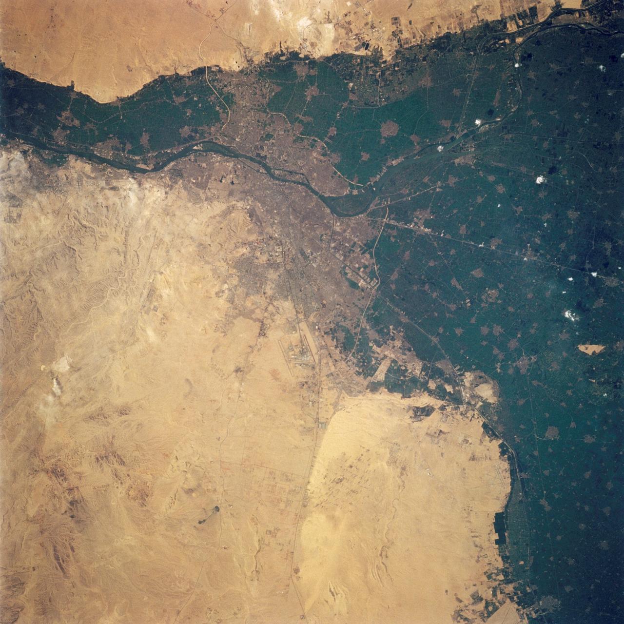
Cairo, Egypt as seen from STS-62
1994-03-05 · NASA Image and Video Library
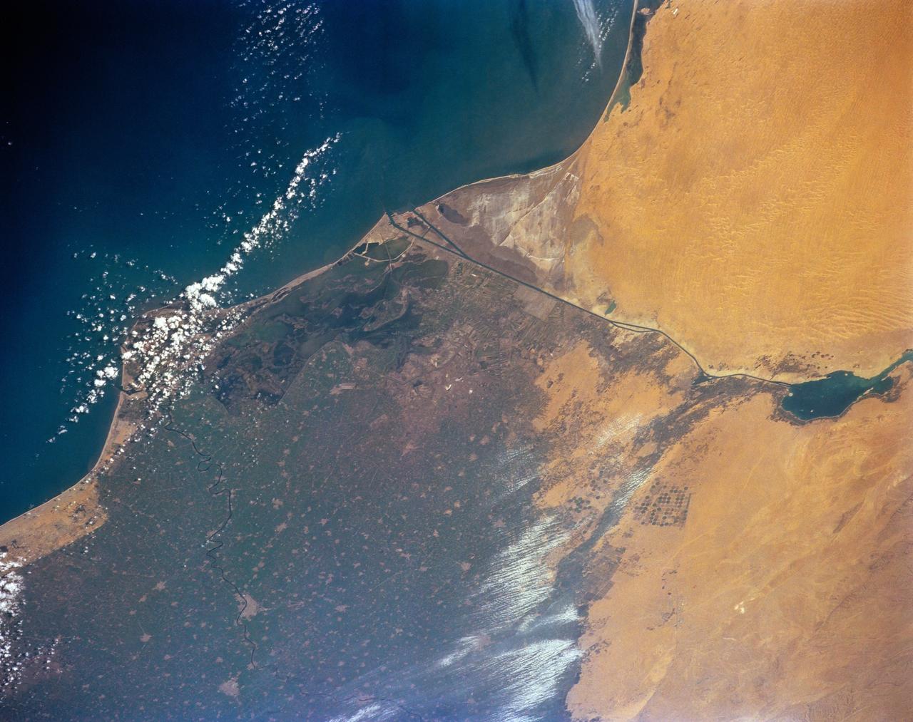
STS-56 Earth observation of the northeastern Nile Delta
1993-04-17 · NASA Image and Video Library

Nile River Delta, Egypt
1984-10-13 · NASA Image and Video Library
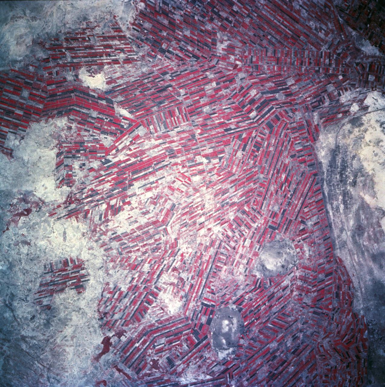
Sudan, Africa as seen from STS-66 shuttle Atlantis
1994-11-14 · NASA Image and Video Library
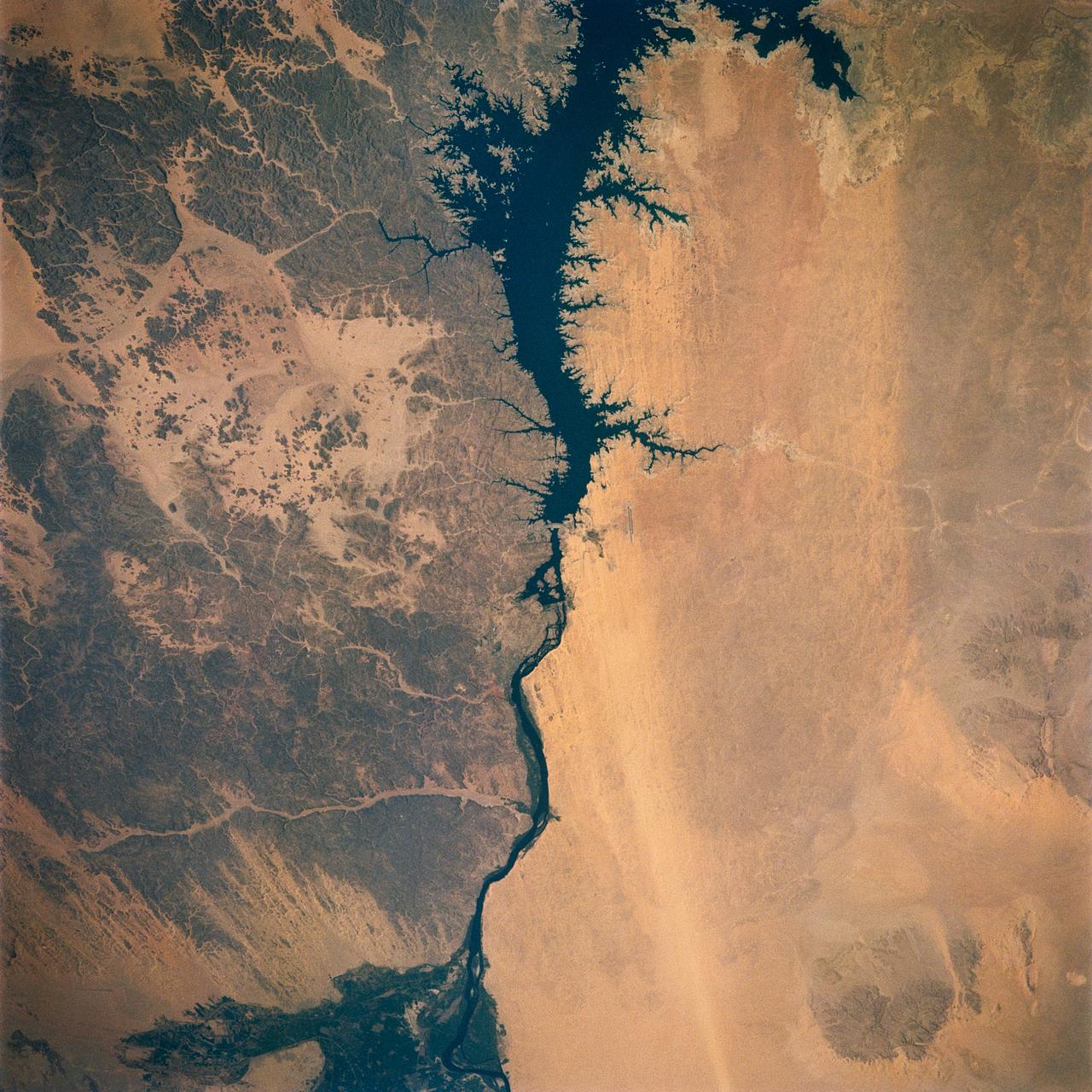
Nile River, Lake Nasser, Aswan Dam, Egypt
1991-08-11 · NASA Image and Video Library
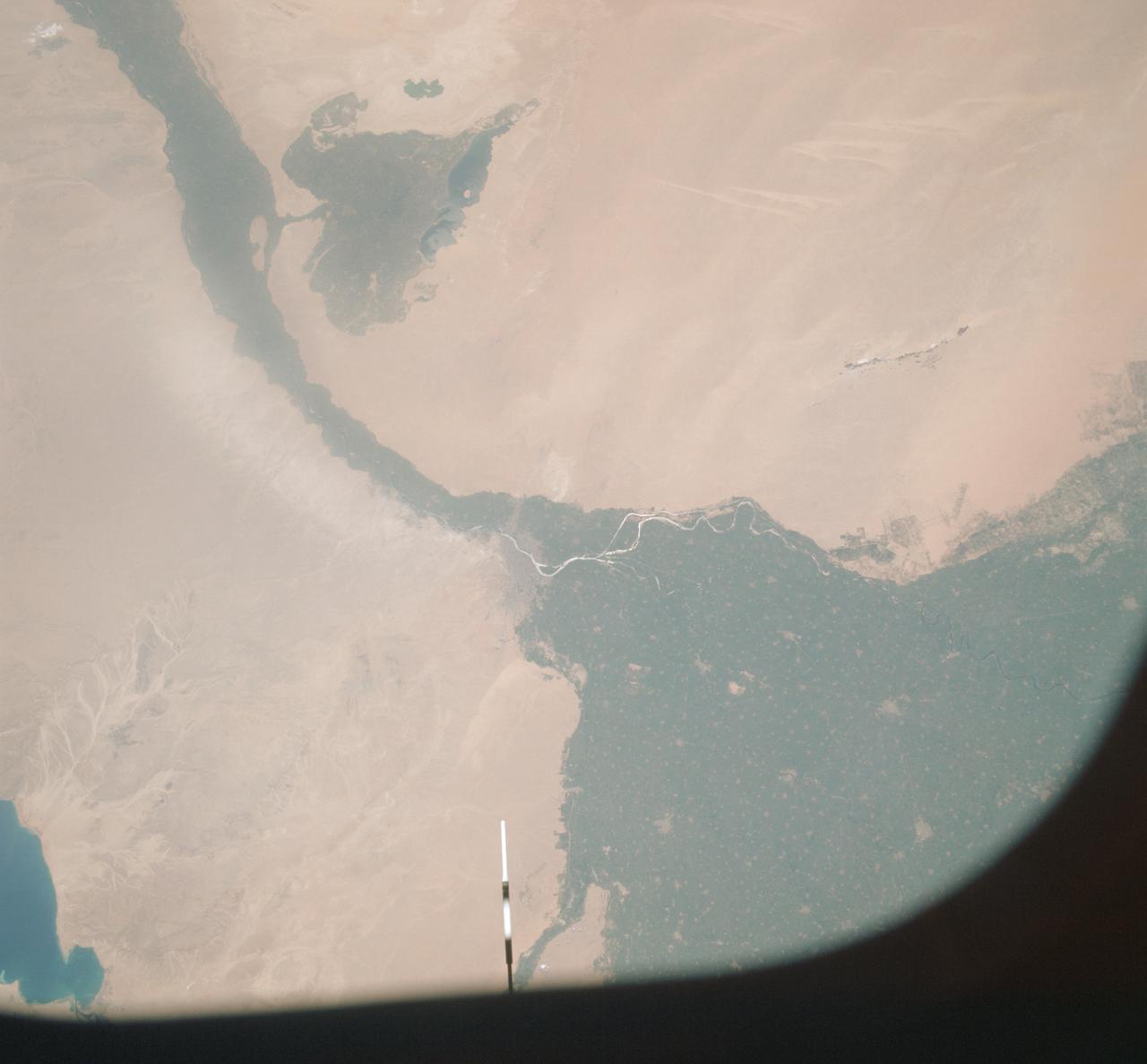
Vertical view of Arab Republic of Egypt from ASTP mission
1975-07-19 · NASA Image and Video Library
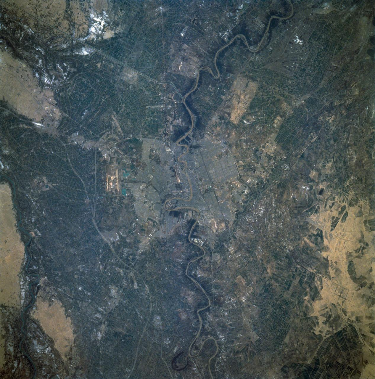
Baghdad, Iraq as seen from STS-60
1994-02-09 · NASA Image and Video Library
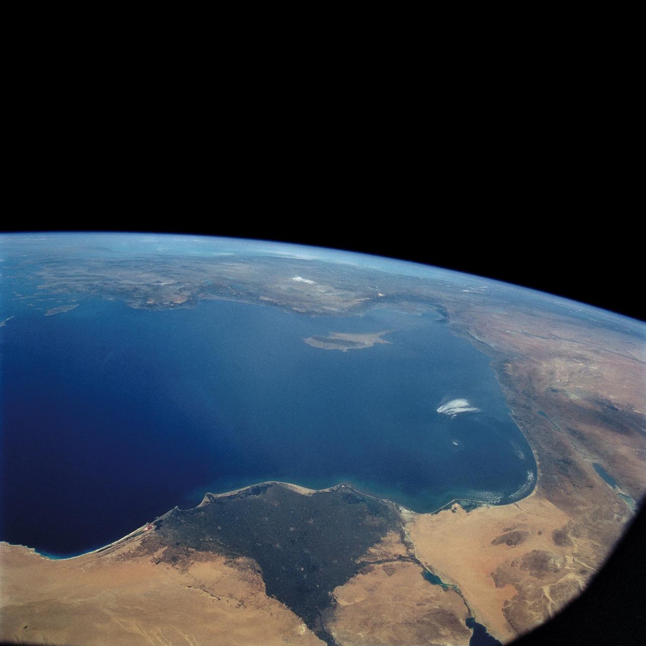
STS-57 Earth observation of the Eastern Mediterranean, Nile River, Asia Minor
1993-07-01 · NASA Image and Video Library