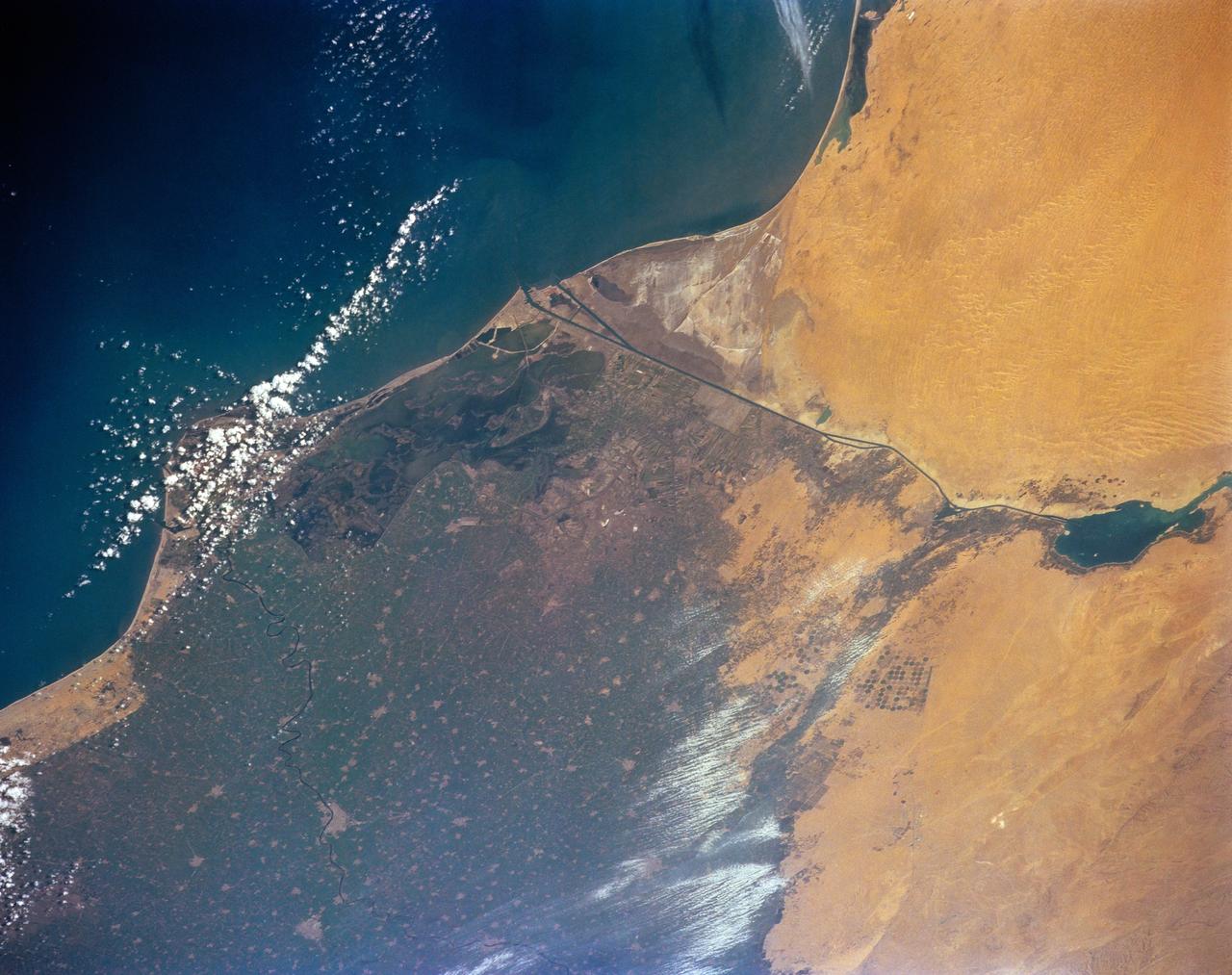
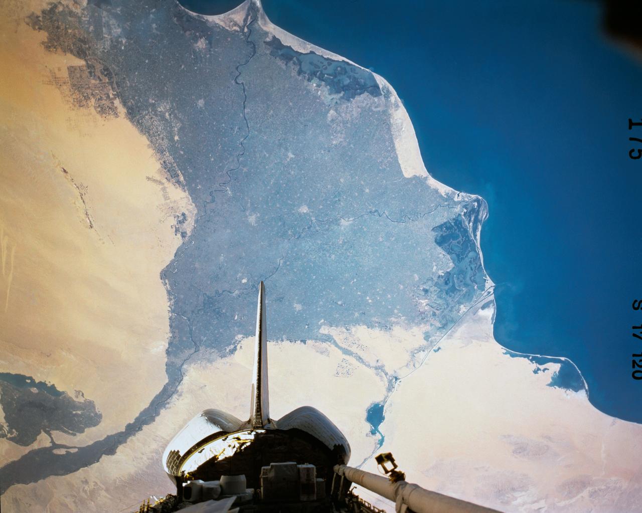
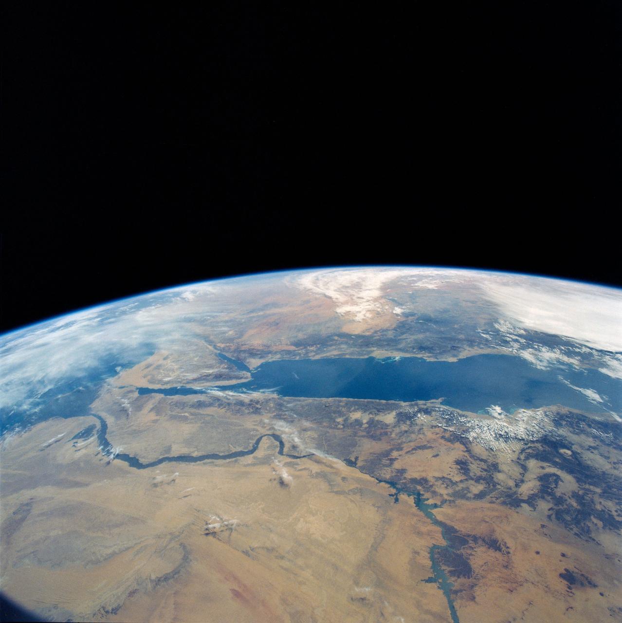
STS-56 Earth observation of the northeastern Nile Delta
STS-56 Earth observation of the northeastern Nile Delta was photographed from the Earth-orbiting Discovery, Orbiter Vehicle (OV) 103. The branch of the Nile featured in the frame is Daimietta. The Suez Canal marks the boundary of the Nile Delta agriculture and the Sinai Desert to the right. Lake Masada, the dark waterlogged area to the west (left) of Port Said is becoming more saline as the Aswan Dam has reduced sediment downstream. This sediment reduction, according to NASA scientists studying the STS-56 photography, has resulted in increased coastal erosion and the intrusion of a salt-water lens to the ground water, particularly in the northeastern portions of the delta. Center pivot irrigation fields are located along either side of the Ramses Canal, which connects the Daimietta Nile with Great Bitter Lake. This canal has been re-dug three or four times in the past 3,000 years. Historians note that the canal's most famous use was as the departure point of the fleet of Pharaoh Necho. The fleet circumnavigated Africa clockwise from the head of the Red Sea to the Mediterranean coast of the Nile (probably the Rosetta Nile) in a three-year voyage circa 660 BC.
- Date
- 1993-04-17
- Collection
- JSC
- Archive
- NASA Image and Video Library
- Type
- photograph
Public domainsafest
Reason: a NASA work: not copyrighted in the United States.
Read from: NASA media usage guidelines: NASA material is not copyrighted in the US unless noted; no third-party credit or mark found.
Credit line
"STS-56 Earth observation of the northeastern Nile Delta" (1993-04-17). NASA/JSC. Public domain. https://images.nasa.gov/details/sts056-152-165Need photos for a whole script? Add Find Any Photo to Claude and ask for this one by its id: 15518.
More like this
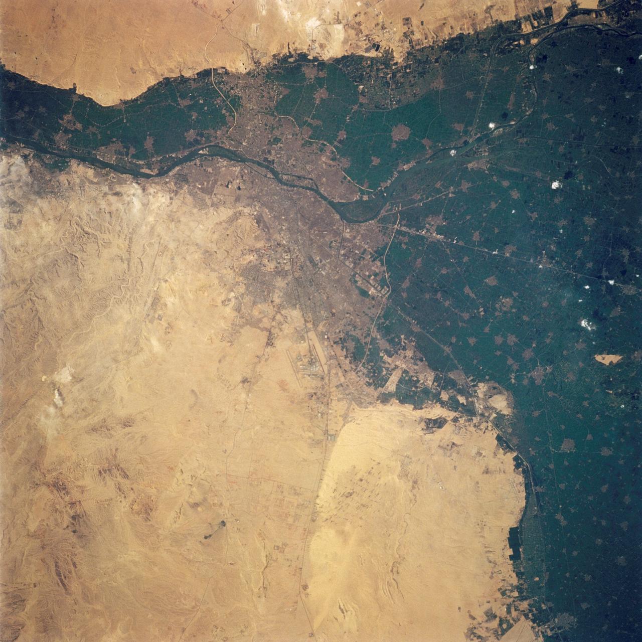
Cairo, Egypt as seen from STS-62
1994-03-05 · NASA Image and Video Library
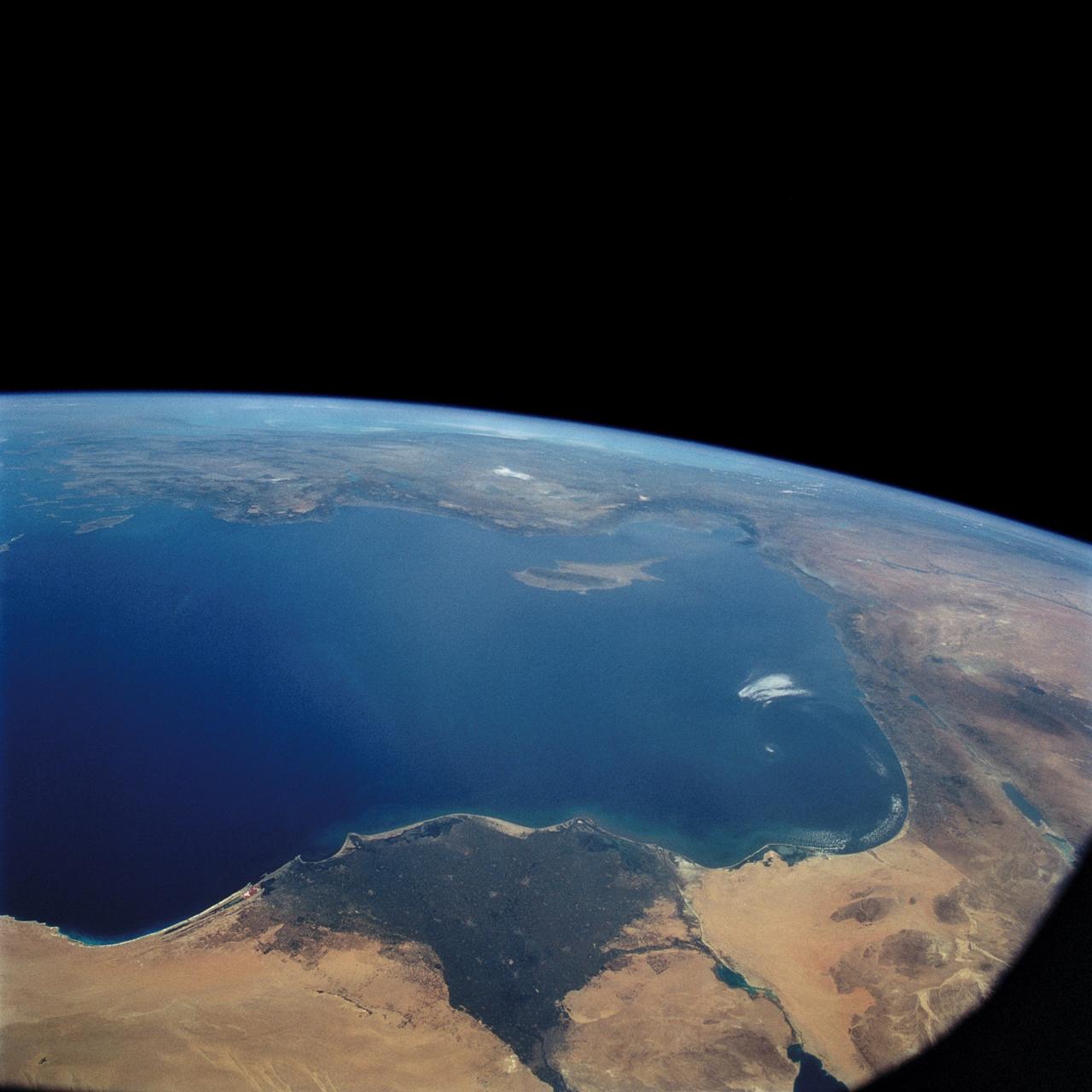
STS-57 Earth observation of the Eastern Mediterranean, Nile River, Asia Minor
1993-07-01 · NASA Image and Video Library
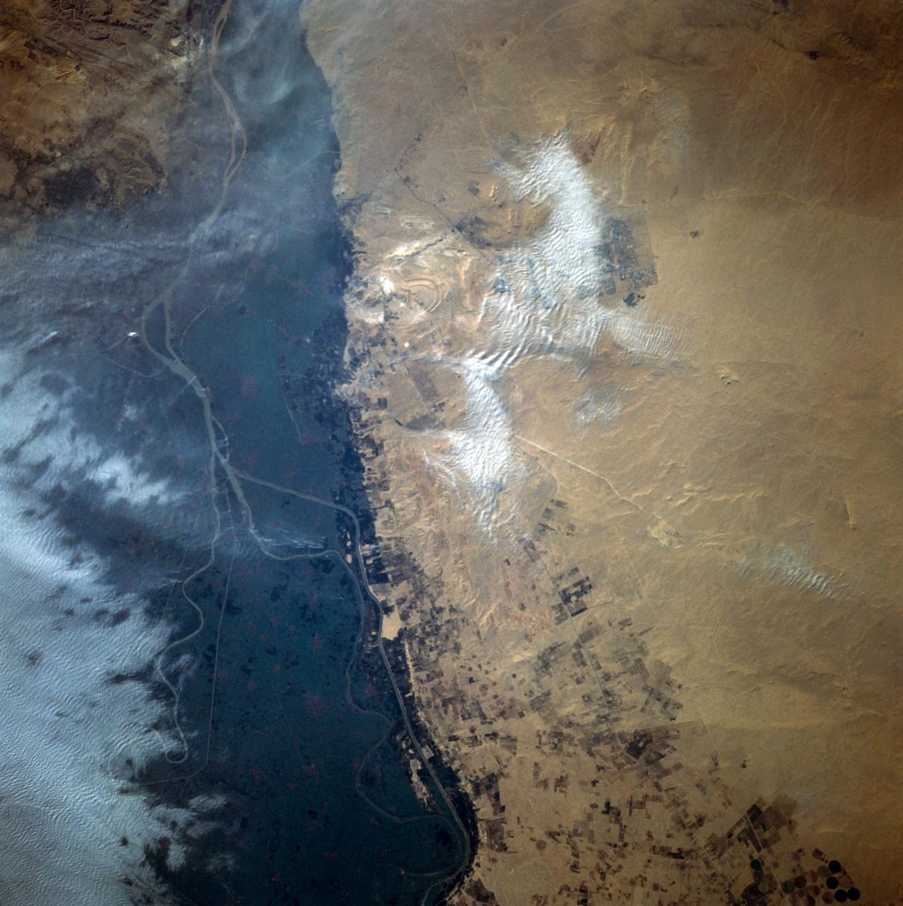
Cairo, Egypt/Nile River viewed from STS-66 Atlantis
1994-11-14 · NASA Image and Video Library
Nile River Delta, Egypt
1984-10-13 · NASA Image and Video Library
Southeastern Mediterranean Panorama
1991-06-14 · NASA Image and Video Library
Panoramic Sinai Peninsula, Red Sea
1984-10-13 · NASA Image and Video Library
Sinai Peninsula, Middle East as seen from STS-66 orbiter Atlantis
1994-11-14 · NASA Image and Video Library
Eastern Egypt, Red Sea and Saudi Arabia
1990-04-29 · NASA Image and Video Library