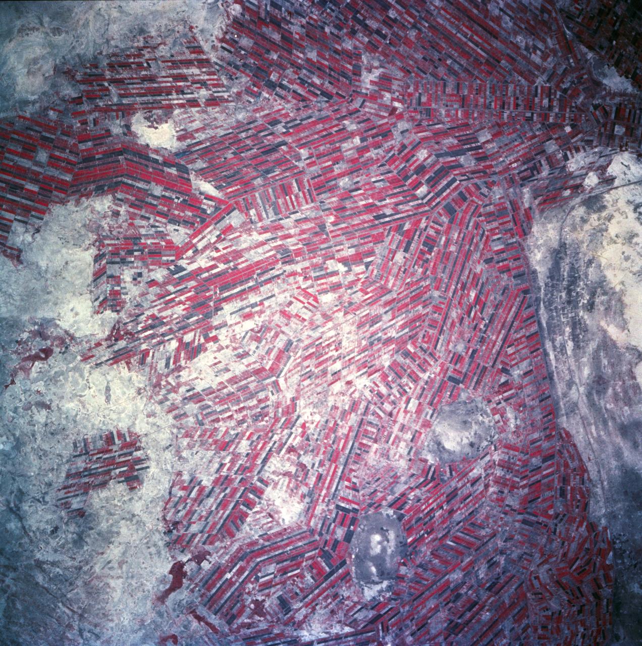
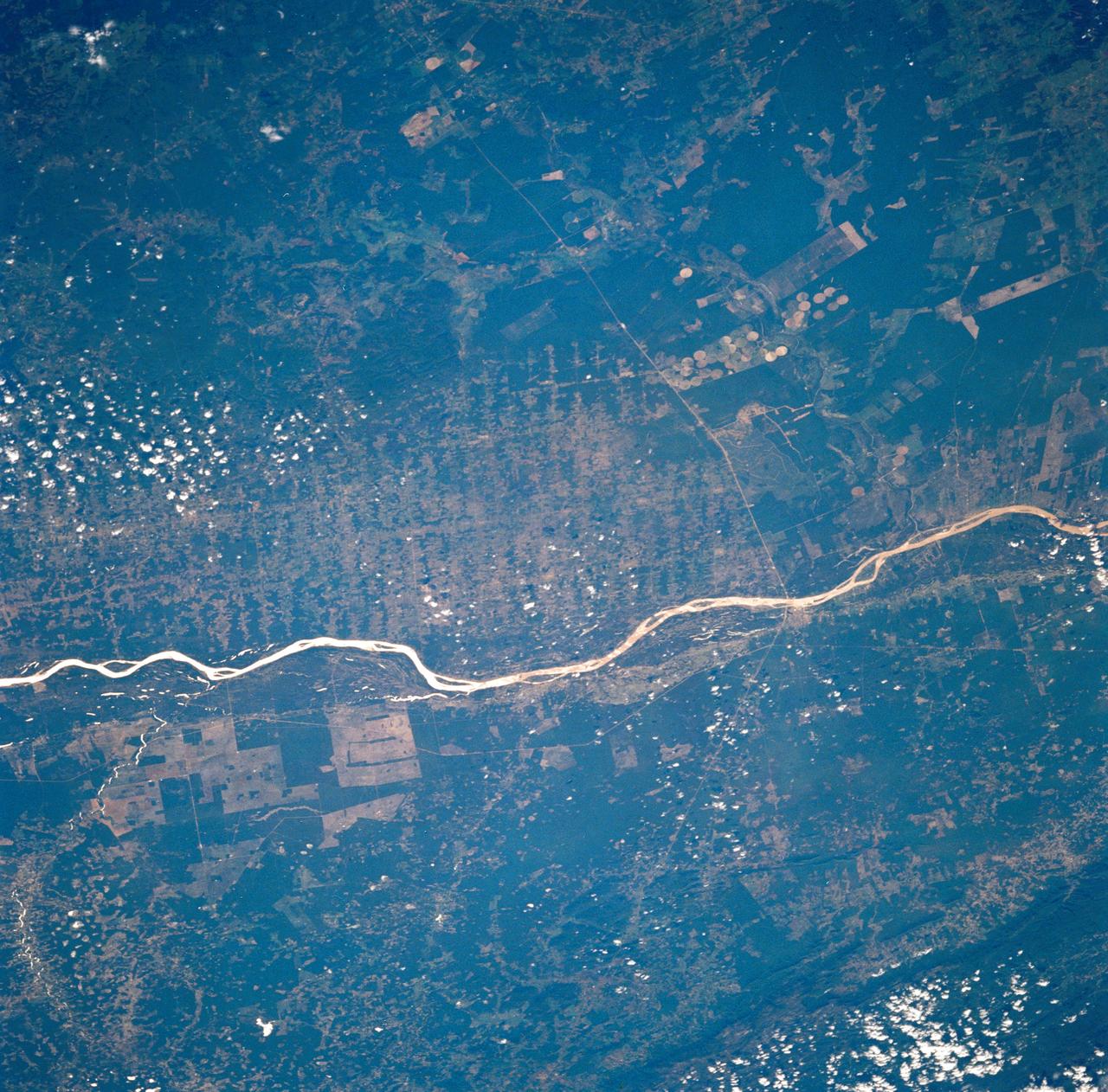
Sudan, Africa as seen from STS-66 shuttle Atlantis
Agricultural patterns are distinctly visible in this near-vertical false color infrared photography taken in November 1994. The area depicted on the photograph is south of Khartoum between the White and Blue Nile Rivers. By far the most important irrigation project in sub-Saharan Africa, both large and small scale agricultural enterprises have been developed using water transported from the perennial Nile Rivers. Hundreds of small rectangular fields and water-filled canals can be seen in this photograph.
- Date
- 1994-11-14
- Collection
- JSC
- Archive
- NASA Image and Video Library
- Type
- photograph
Public domainsafest
Reason: a NASA work: not copyrighted in the United States.
Read from: NASA media usage guidelines: NASA material is not copyrighted in the US unless noted; no third-party credit or mark found.
Credit line
"Sudan, Africa as seen from STS-66 shuttle Atlantis" (1994-11-14). NASA/JSC. Public domain. https://images.nasa.gov/details/sts066-84-038Need photos for a whole script? Add Find Any Photo to Claude and ask for this one by its id: 15253.
More like this
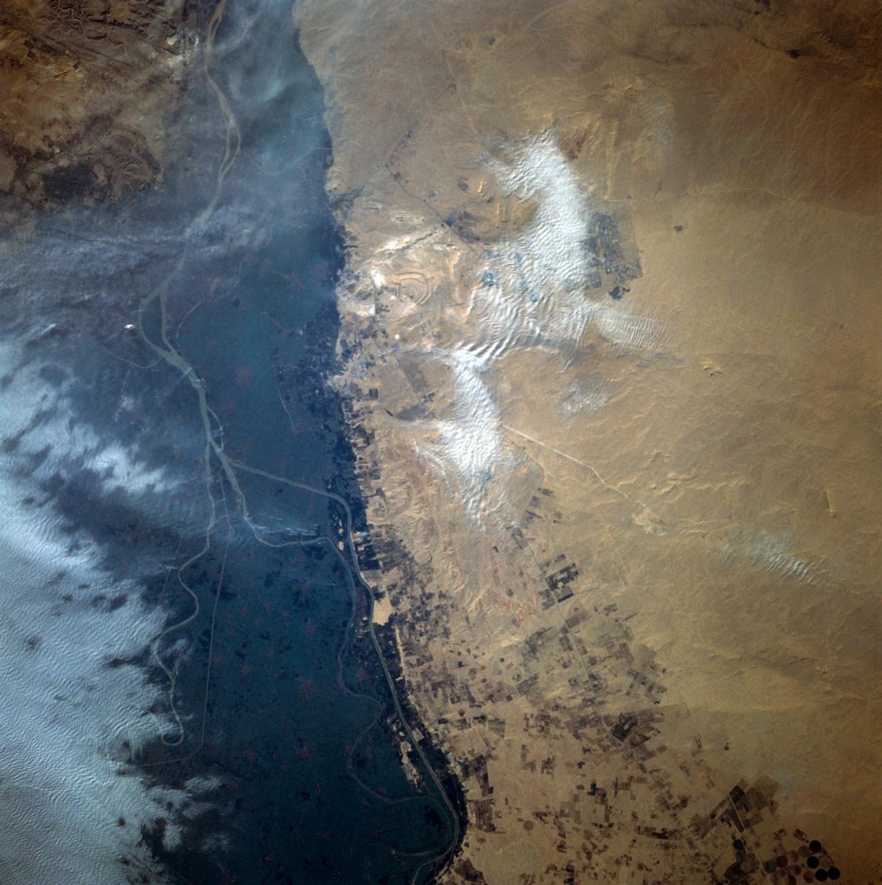
Cairo, Egypt/Nile River viewed from STS-66 Atlantis
1994-11-14 · NASA Image and Video Library
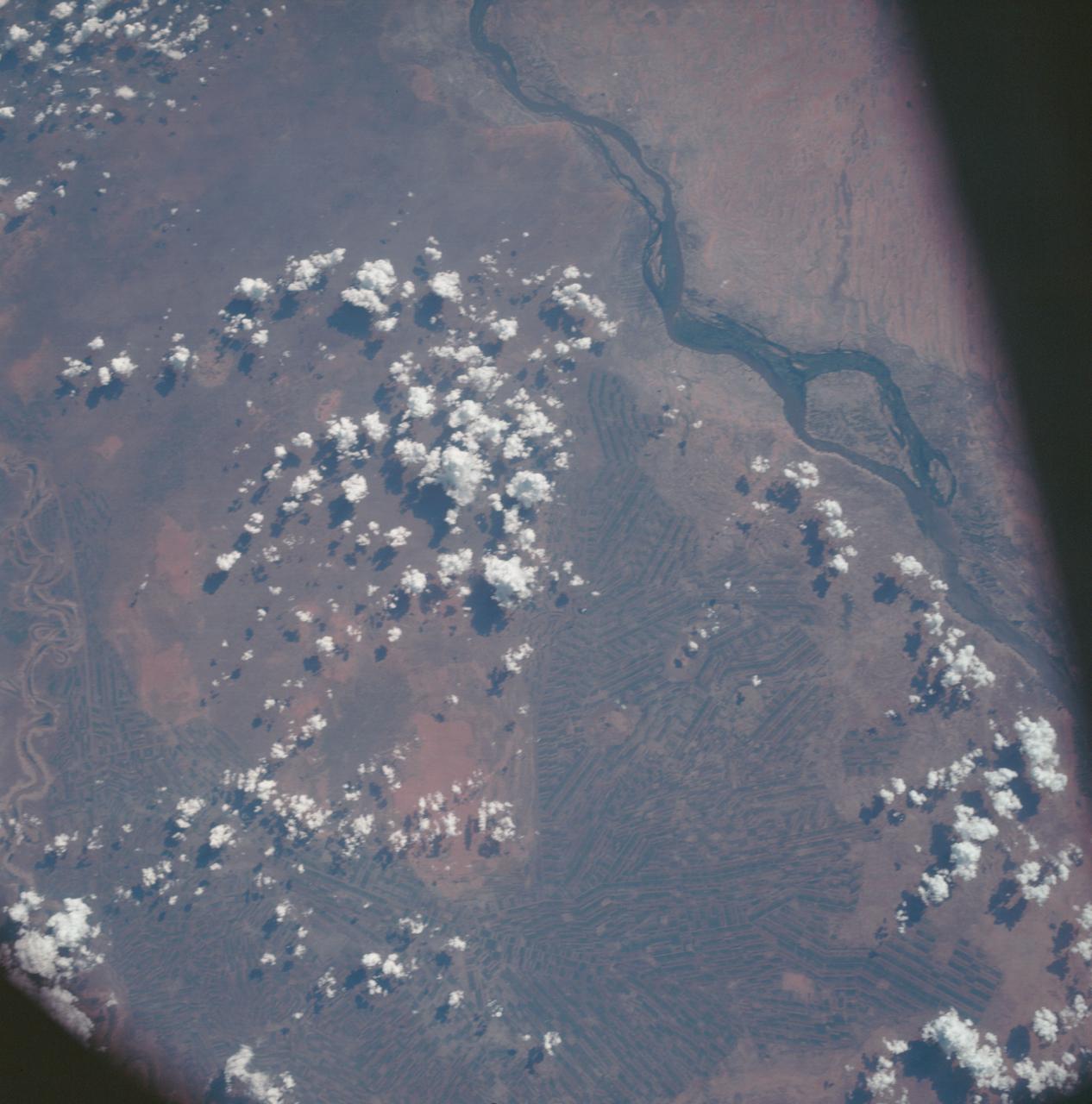
Sudan as seen from the Apollo 7 spacecraft
1968-10-14 · NASA Image and Video Library
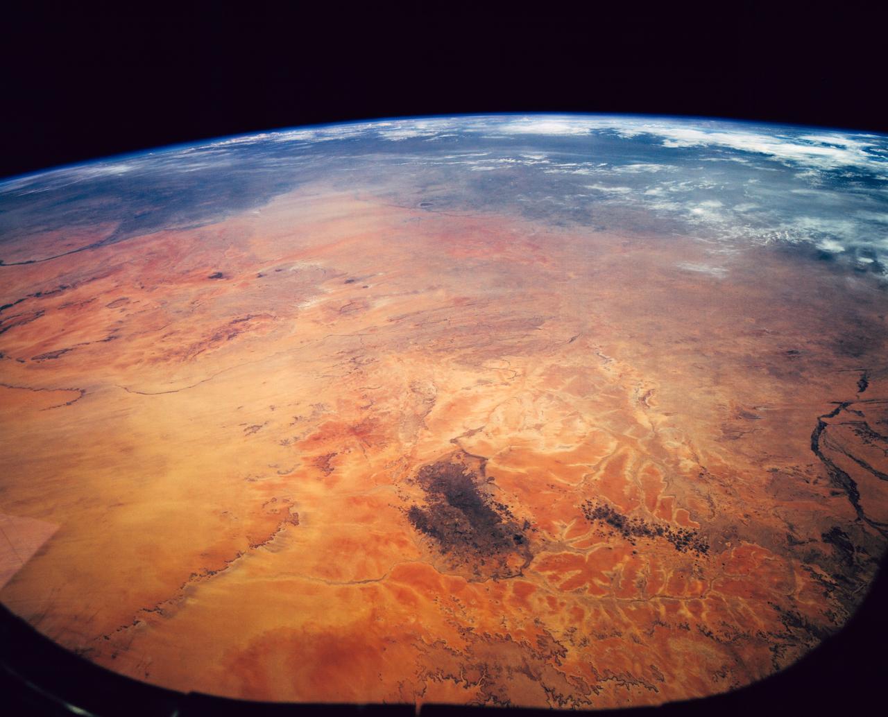
Sahara Desert, Sudan, Northeast Africa as seen from STS-62
1994-03-05 · NASA Image and Video Library
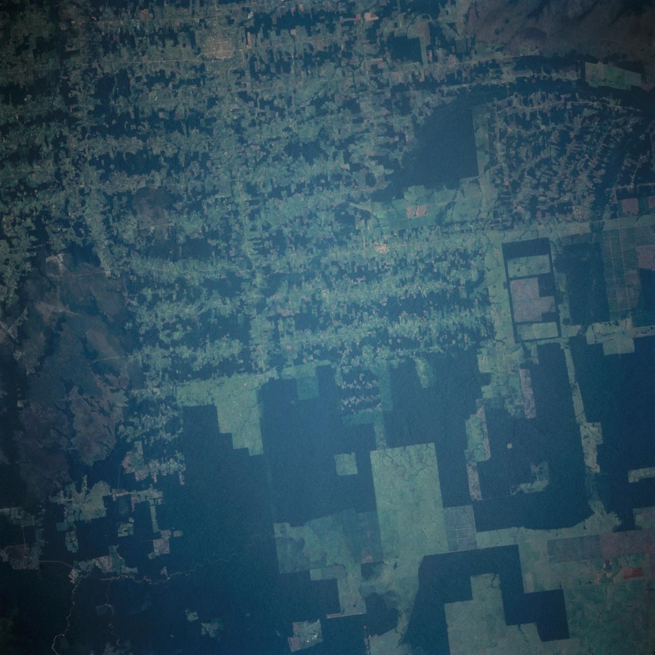
Deforestation in Brazil as seen from STS-66 Atlantis
1994-11-14 · NASA Image and Video Library
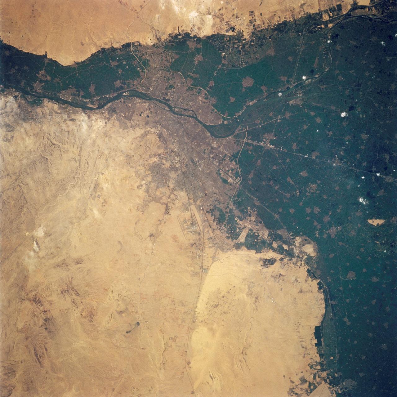
Cairo, Egypt as seen from STS-62
1994-03-05 · NASA Image and Video Library
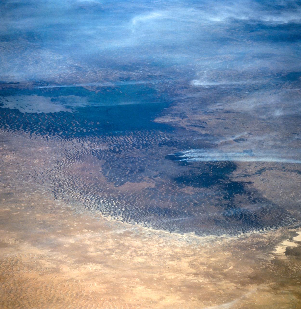
Lake Chad, Chad as seen from STS-66
1994-11-14 · NASA Image and Video Library
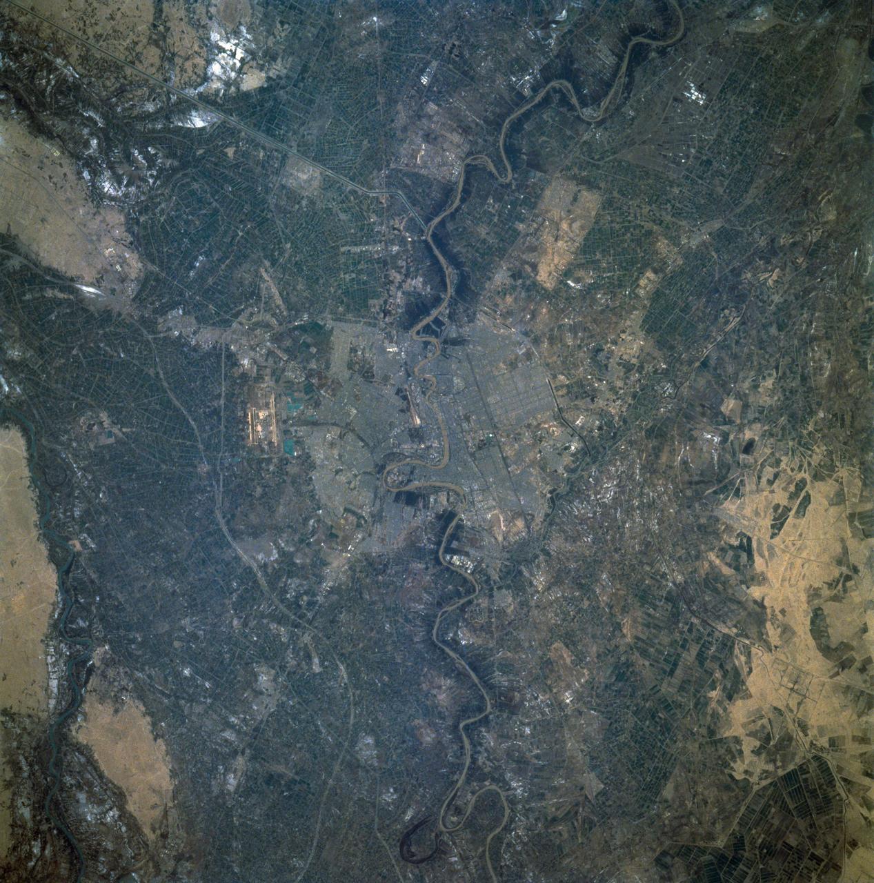
Baghdad, Iraq as seen from STS-60
1994-02-09 · NASA Image and Video Library
Agricultural and Ranching area, Rio Sao Francisco, Brazil
1990-12-10 · NASA Image and Video Library