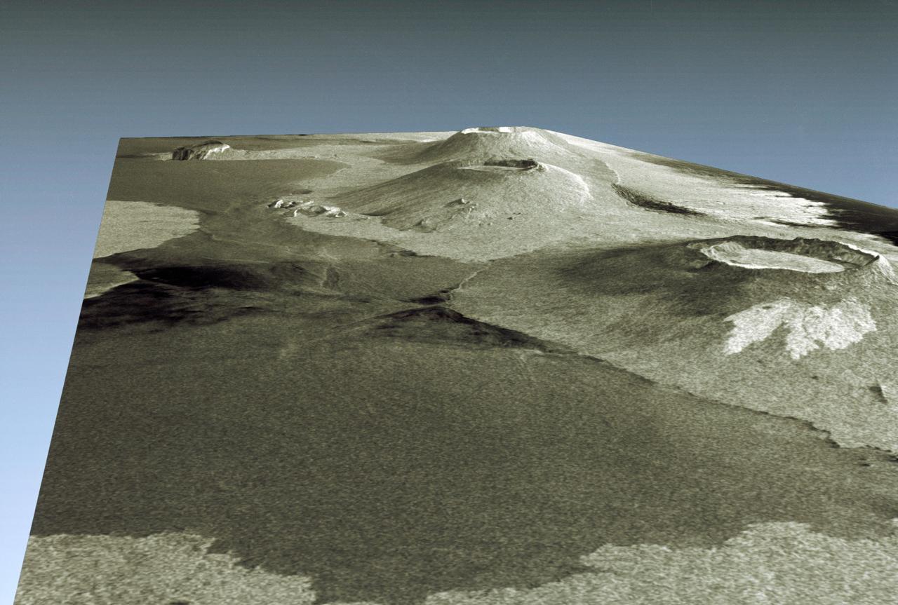
Three dimensional perspective view of portion of western Galapagos Islands
STS059-S-085 (18 April 1994) --- This is a three-dimensional perspective view of part of Isla Isabela in the western Galapagos Islands. It was taken by the L-Band radar in HH polarization from the Spaceborne Imaging Radar-C and X-Band Synthetic Aperture Radar (SIR-C/X-SAR) on the 40th orbit of the Space Shuttle Endeavour. This view was constructed by overlaying a SIR-C radar image on a U.S. Geological Survey digital elevation map. The image is centered at about.5 degrees south latitude and 91 degrees west longitude, and covers an area of 75 by 60 kilometers. The radar incidence angle at the center of the image is about 20 degrees. The western Galapagos Islands, which lie about 1200 kilometers west of Ecuador in the eastern Pacific, have six active volcanoes similar to the volcanoes found in Hawaii. Since the time of Charles Darwin's visit to the area in 1835, there have been over 60 recorded eruptions on these volcanoes. This SIR-C/X-SAR image of Alcedo and Sierra Negra volcanoes shows the rougher lava flows as bright features, while ash deposits and smooth pahoehoe lava flows appear dark. The Galapagos Islands are one of the SIR-C/X-SAR supersites and data of this area will be ta
- Date
- 1994-04-18
- Collection
- JSC
- Archive
- NASA Image and Video Library
- Type
- photograph
Public domainsafest
Reason: a NASA work: not copyrighted in the United States.
Read from: NASA media usage guidelines: NASA material is not copyrighted in the US unless noted; no third-party credit or mark found.
Credit line
"Three dimensional perspective view of portion of western Galapagos Islands" (1994-04-18). NASA/JSC. Public domain. https://images.nasa.gov/details/sts059-s-085Need photos for a whole script? Add Find Any Photo to Claude and ask for this one by its id: 15021.
More like this
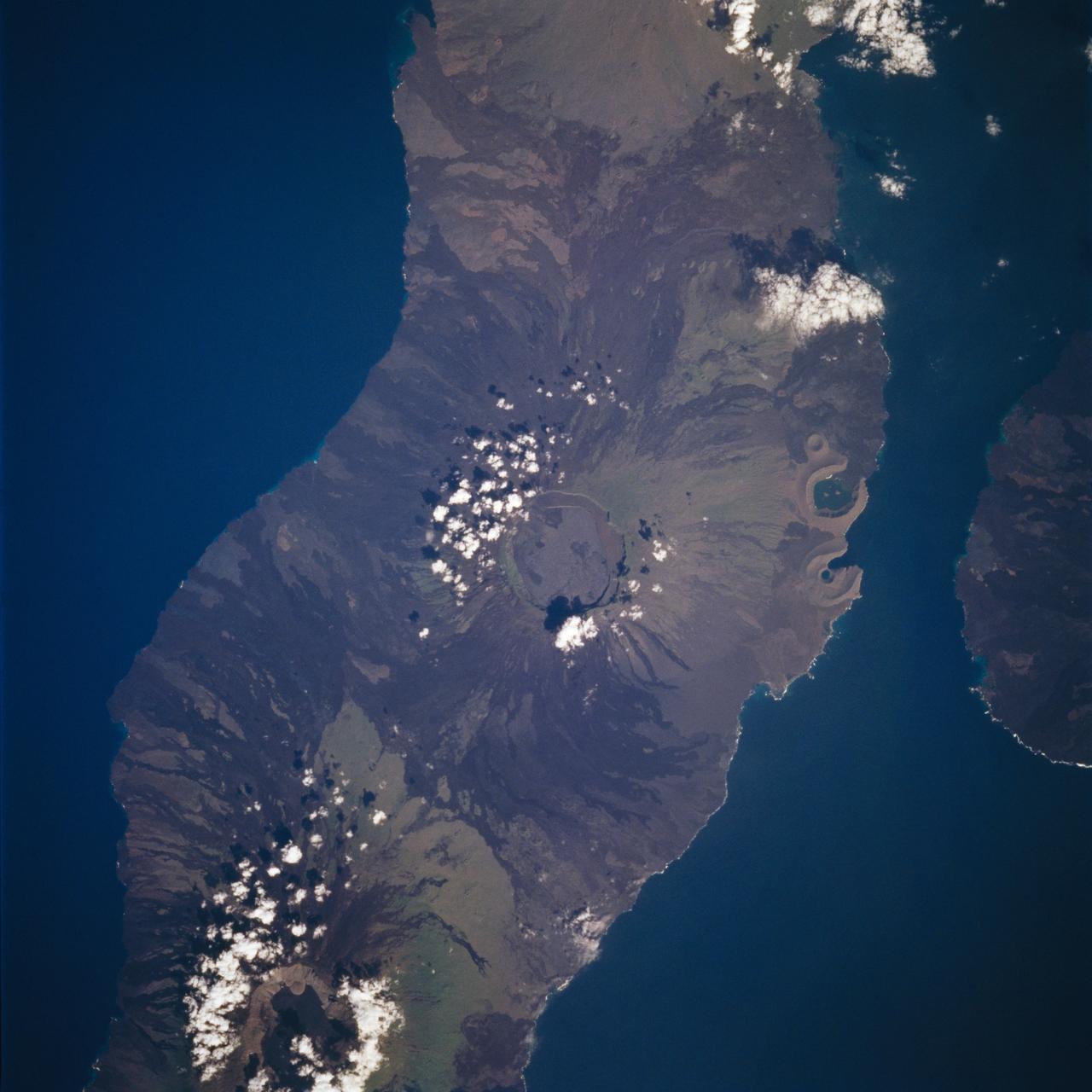
Isabela, Galapagos Islands as seen from STS-59
1994-04-14 · NASA Image and Video Library
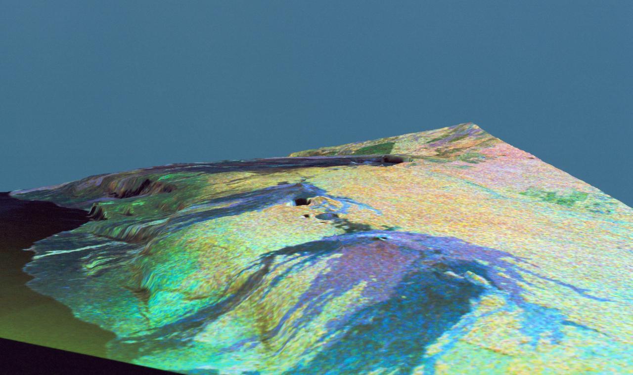
Three dimensional perspective view of false-color image of eastern Hawaii
1994-04-18 · NASA Image and Video Library
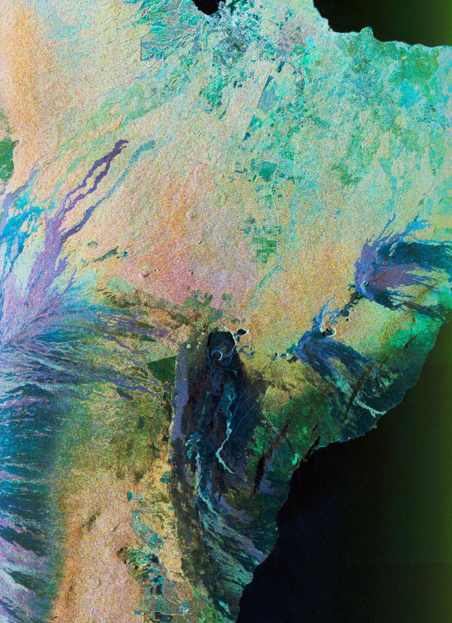
Color composite C-band and L-band image of Kilauea volcanoe on Hawaii
1994-04-15 · NASA Image and Video Library
STS-68 radar image: Mt. Pinatubo, Philippines
1994-10-07 · NASA Image and Video Library
Three dimensional perspective view of Mammoth Mountain, California
1994-04-17 · NASA Image and Video Library
New Guinea volcano (Rabaul) as seen from STS-64
1994-09-29 · NASA Image and Video Library
View of New Guinea Volcano as seen from STS-64
1994-09-20 · NASA Image and Video Library
False-color L-band image of Manaus region of Brazil
1994-04-13 · NASA Image and Video Library