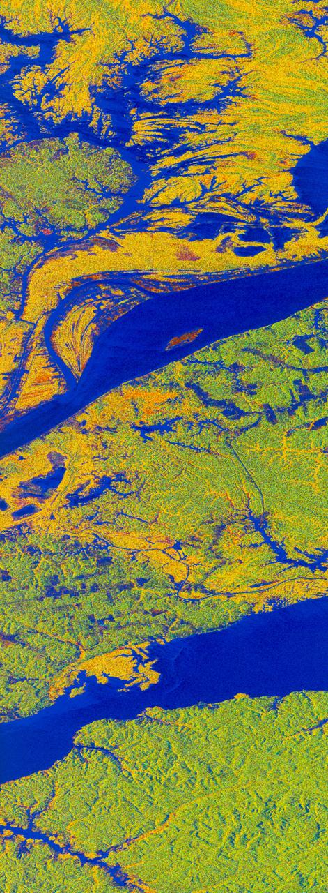
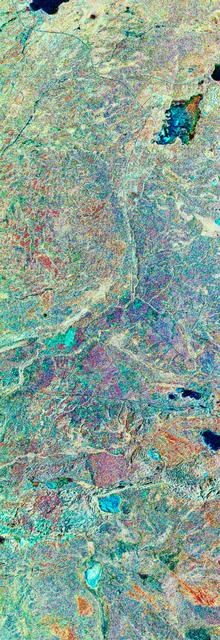
False-color L-band image of Manaus region of Brazil
STS059-S-068 (13 April 1994) --- This false-color L-Band image of the Manaus region of Brazil was acquired by the Spaceborne Imaging Radar-C and X-Band Synthetic Aperture Radar (SIR-C/X-SAR) aboard the Space Shuttle Endeavour on orbit 46 of the mission. The area shown is approximately 8 kilometers by 40 kilometers (5 by 25 miles). At the top of the image are the Solimoes and Rio Negro Rivers just before they combine at Manaus to form the Amazon River. The image is centered at about 3 degrees south latitude, and 61 degrees west longitude. The false colors are created by displaying three L-Band polarization channels; red areas correspond to high backscatter at HH polarization, while green areas exhibit high backscatter at HV polarization. Blue areas show low returns at VV polarization; hence the bright blue colors of the smooth river surfaces. Using this color scheme, green areas in the image are heavily forested, while blue areas are either cleared forest or open water. The yellow and red areas are flooded forest. Between Rio Solimoes and Rio Negro a road can be seen running from some cleared areas (visible as blue rectangles north of Rio Solimoes) north towards a tributary of Rio N
- Date
- 1994-04-13
- Collection
- JSC
- Archive
- NASA Image and Video Library
- Type
- photograph
Public domainsafest
Reason: a NASA work: not copyrighted in the United States.
Read from: NASA media usage guidelines: NASA material is not copyrighted in the US unless noted; no third-party credit or mark found.
Credit line
"False-color L-band image of Manaus region of Brazil" (1994-04-13). NASA/JSC. Public domain. https://images.nasa.gov/details/sts059-s-068Need photos for a whole script? Add Find Any Photo to Claude and ask for this one by its id: 15096.
More like this
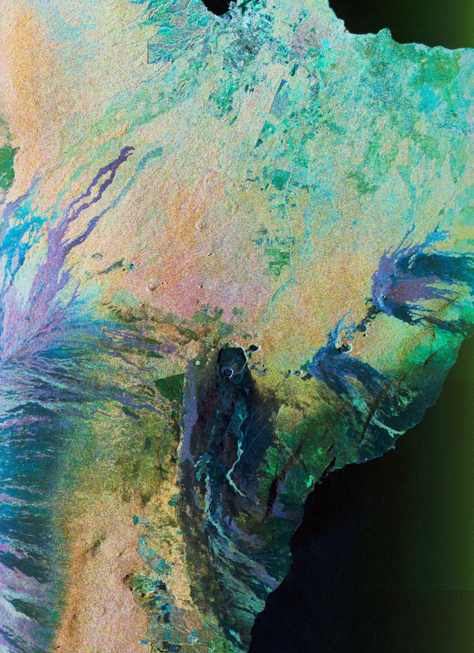
Color composite C-band and L-band image of Kilauea volcanoe on Hawaii
1994-04-15 · NASA Image and Video Library
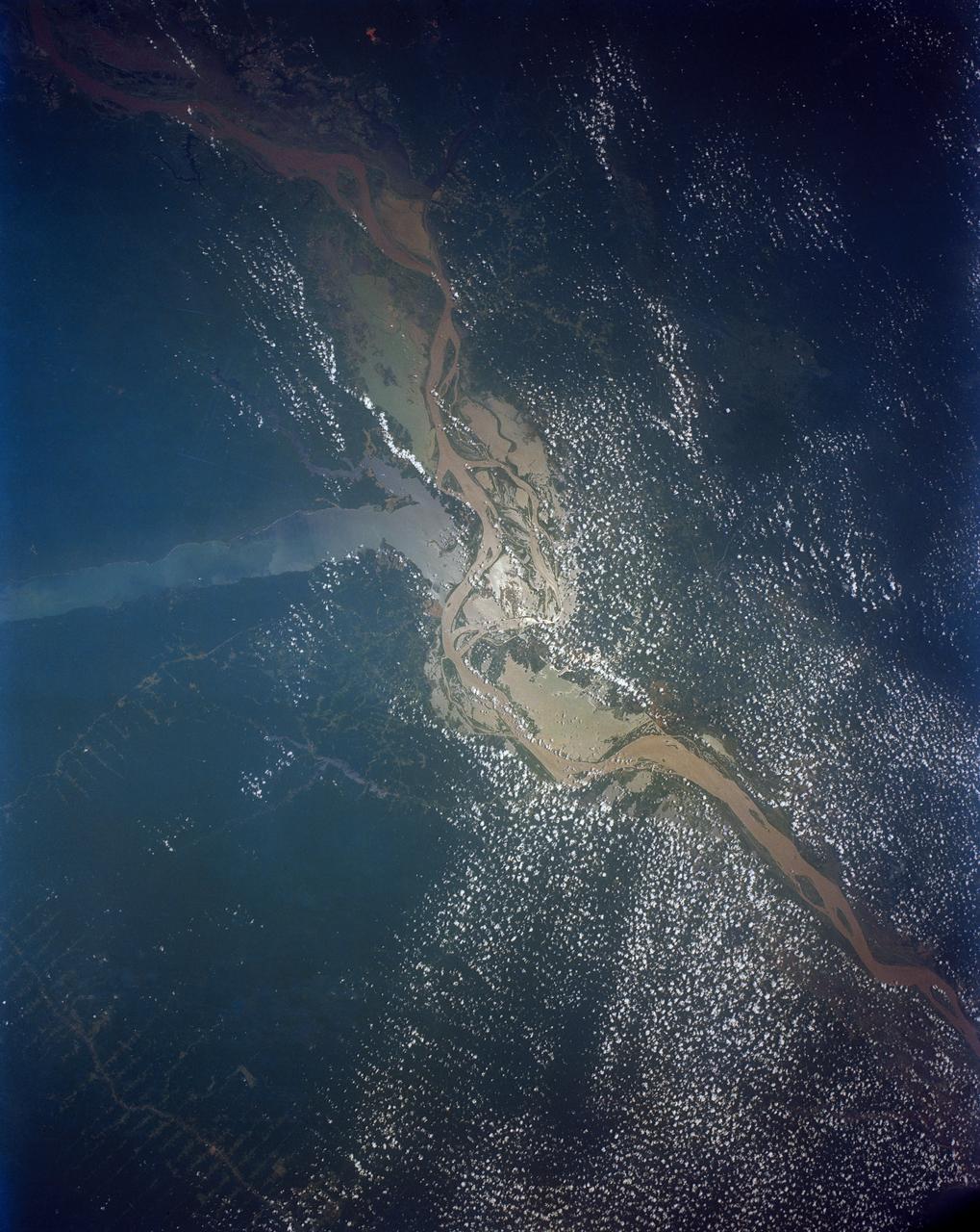
Confluence of the Amazon and Topajos Rivers, Brazil, South America
1991-08-11 · NASA Image and Video Library
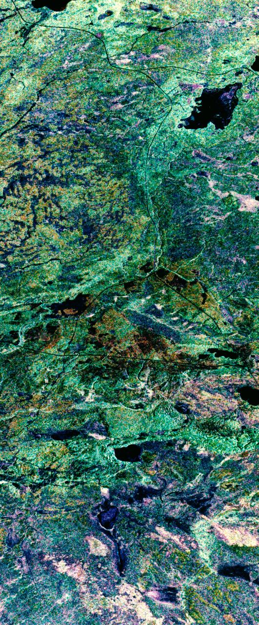
False-color composite image of Prince Albert, Canada
1994-04-11 · NASA Image and Video Library
Three frequency false-color image of Prince Albert, Canada
1994-04-18 · NASA Image and Video Library
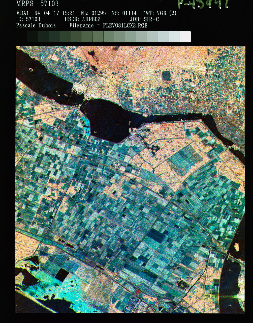
Three frequency false color image of Flevoland, the Netherlands
1994-04-18 · NASA Image and Video Library
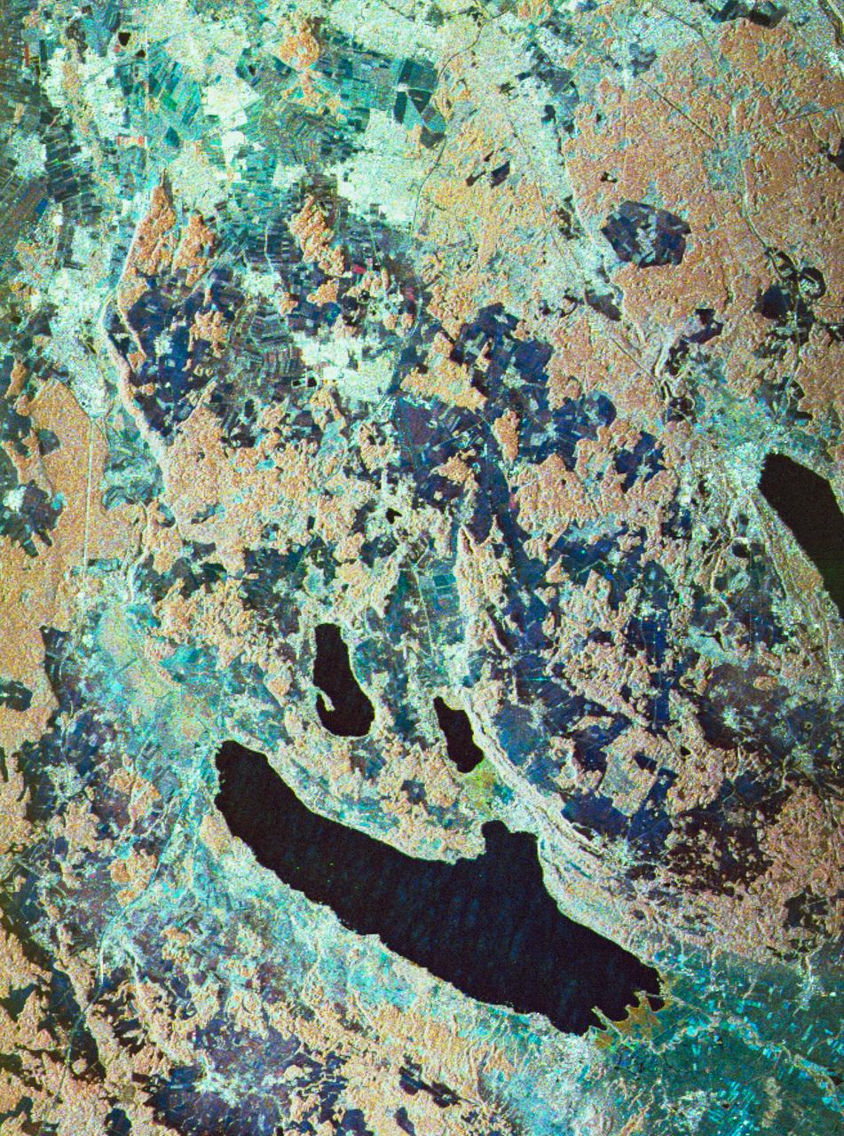
Three frequency false-color image of Oberpfaffenhofen supersite in Germany
1994-04-18 · NASA Image and Video Library
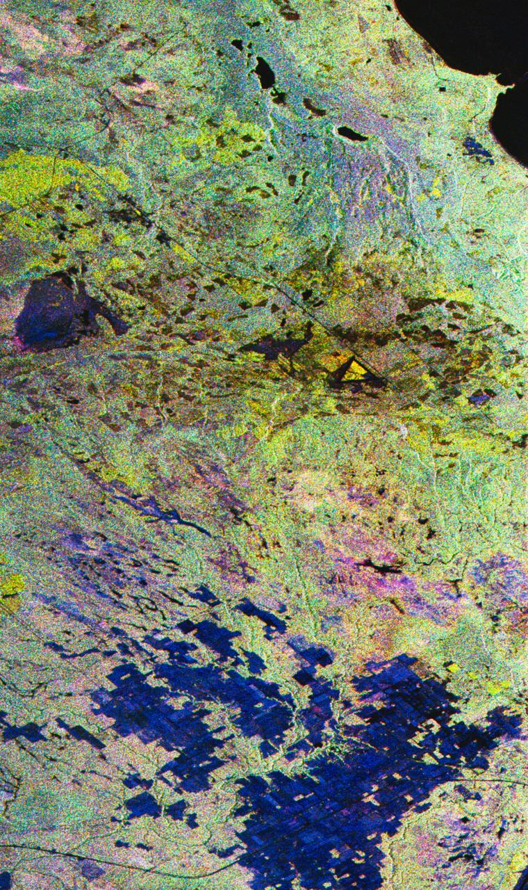
False-color composite image of Raco, Michigan
1994-04-10 · NASA Image and Video Library
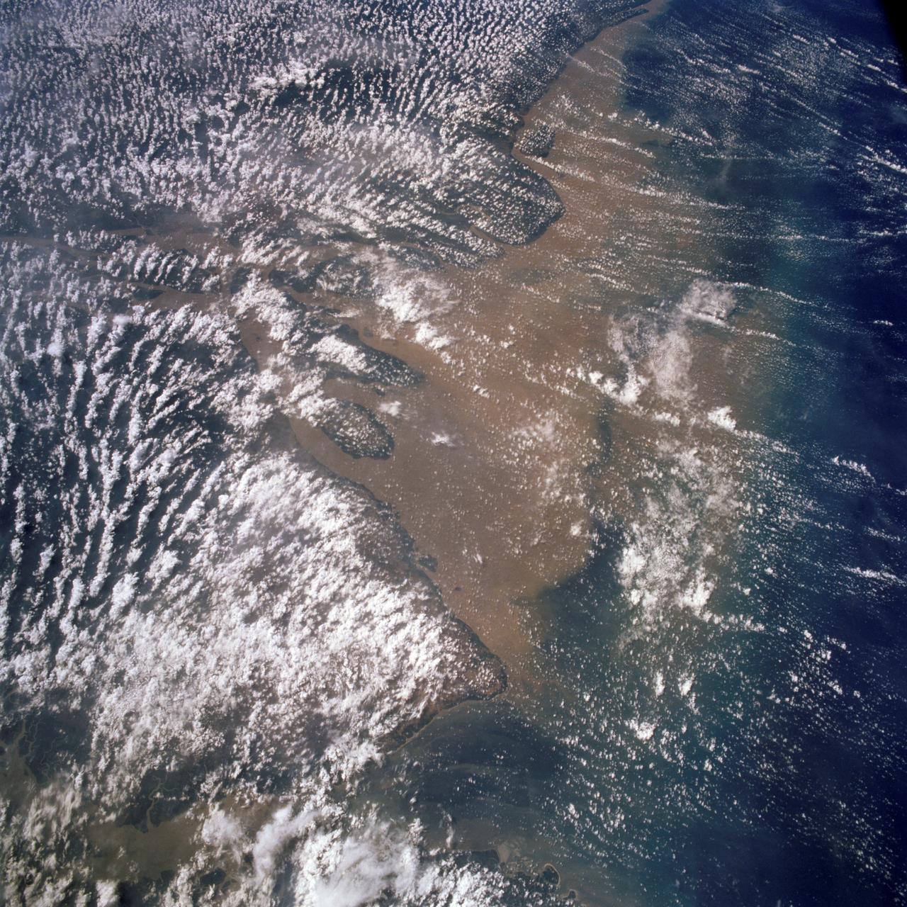
Mouth of the Amazon River as seen from STS-58
1993-10-30 · NASA Image and Video Library