
Deforestation, Rondonia, Brazil
This view of deforestation in Rondonia, far western Brazil, (10.0S, 63.0W) is part of an agricultural resettlement project which ultimately covers an area about 80% the size of France. The patterns of deforestation in this part of the Amazon River Basin are usually aligned adjacent to highways, secondary roads, and streams for ease of access and transportation. Compare this view with the earlier 51G-37-062 for a comparison of deforestation in the region.
- Date
- 1992-08-08
- Collection
- JSC
- Archive
- NASA Image and Video Library
- Type
- photograph
Public domainsafest
Reason: a NASA work: not copyrighted in the United States.
Read from: NASA media usage guidelines: NASA material is not copyrighted in the US unless noted; no third-party credit or mark found.
Credit line
"Deforestation, Rondonia, Brazil" (1992-08-08). NASA/JSC. Public domain. https://images.nasa.gov/details/sts046-103-053Need photos for a whole script? Add Find Any Photo to Claude and ask for this one by its id: 15281.
More like this
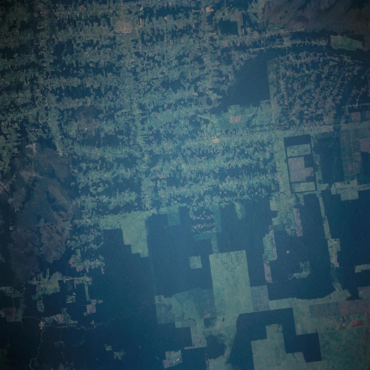
Deforestation in Brazil as seen from STS-66 Atlantis
1994-11-14 · NASA Image and Video Library
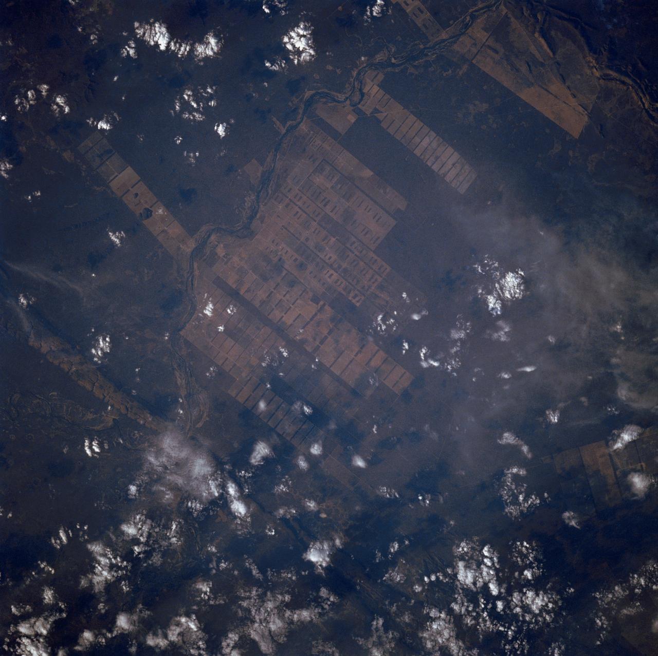
Agriculture, Rio Sao Francisco, Brazil, South America
1988-10-03 · NASA Image and Video Library
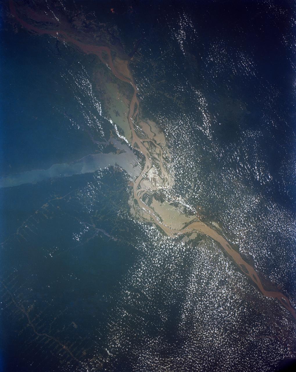
Confluence of the Amazon and Topajos Rivers, Brazil, South America
1991-08-11 · NASA Image and Video Library
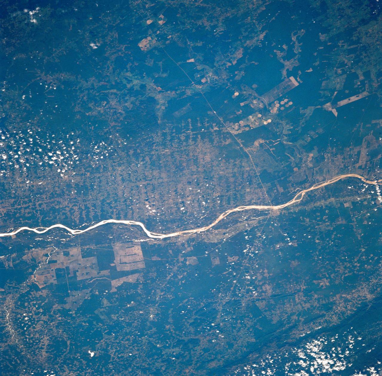
Agricultural and Ranching area, Rio Sao Francisco, Brazil
1990-12-10 · NASA Image and Video Library
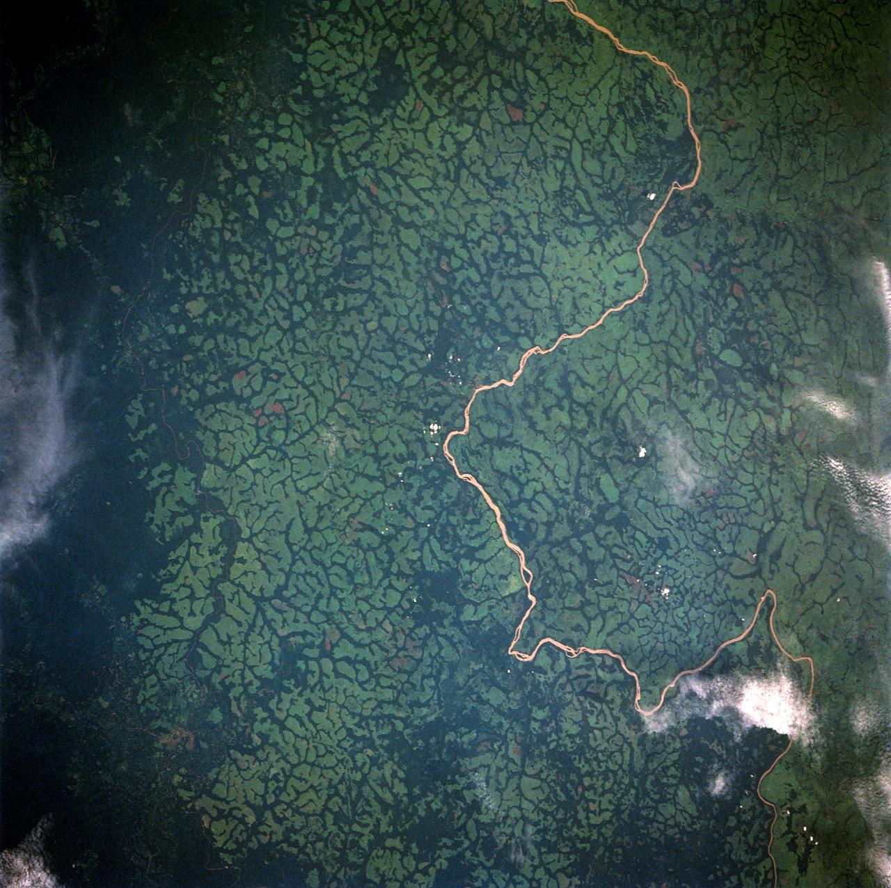
Uele River, Cleared Pasture Lands, Zaire, Africa
1992-05-16 · NASA Image and Video Library
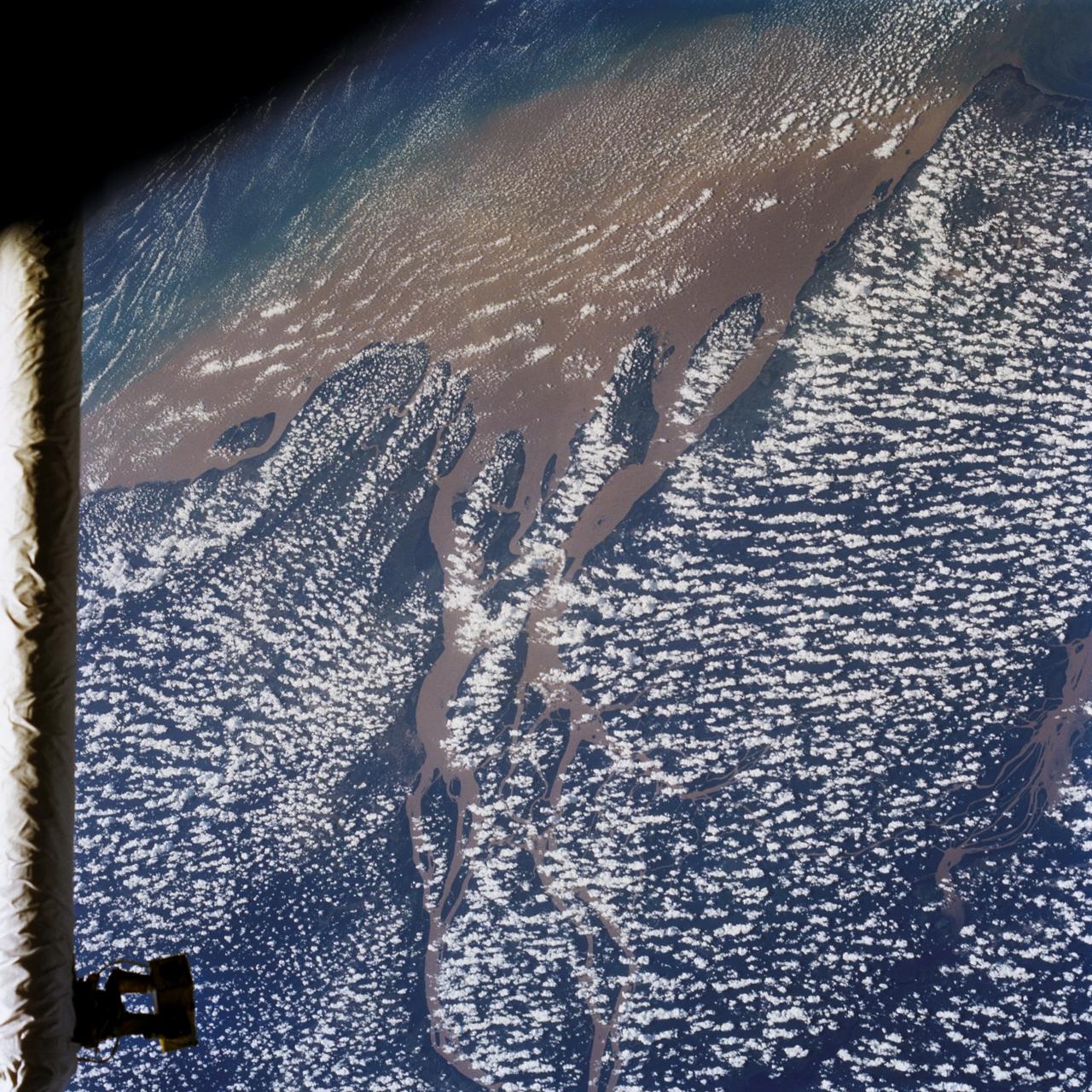
Mouths of the Amazon River, Brazil, South America
1992-08-08 · NASA Image and Video Library
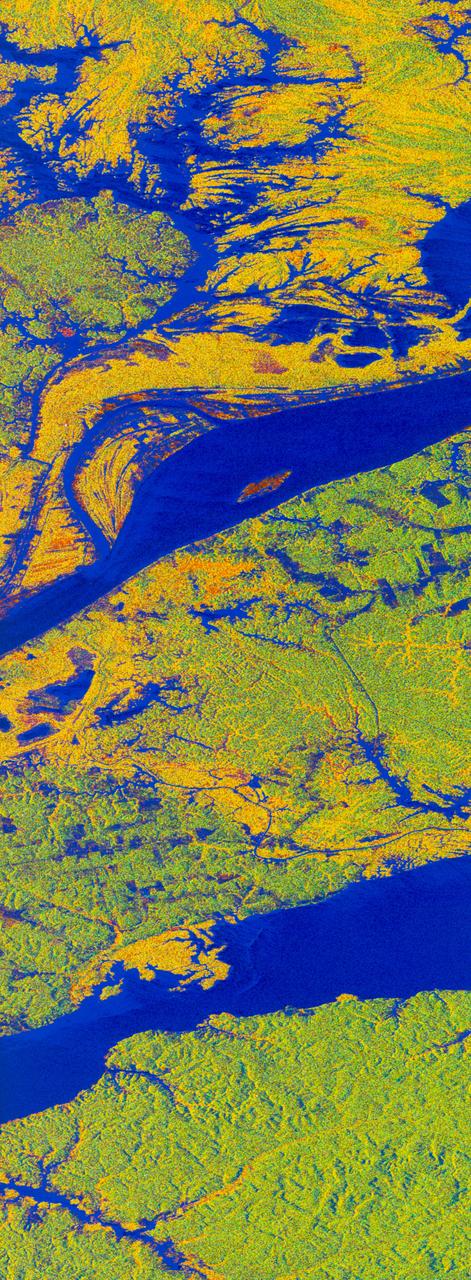
False-color L-band image of Manaus region of Brazil
1994-04-13 · NASA Image and Video Library
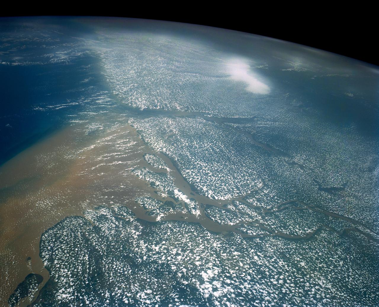
Mouths of the Amazon River, Brazil, South America
1991-08-11 · NASA Image and Video Library