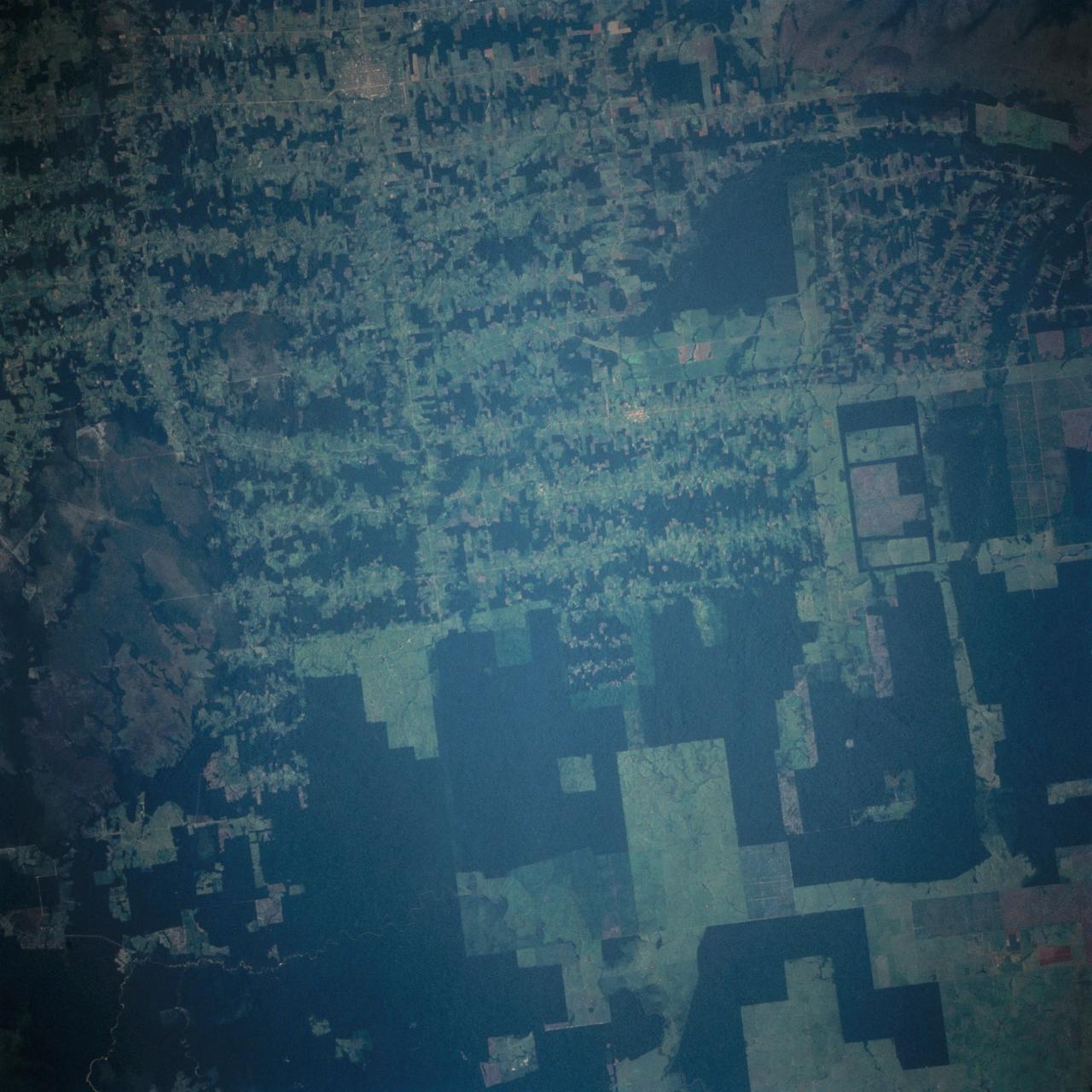
Deforestation in Brazil as seen from STS-66 Atlantis
This near vertical photograph illustrates the differences in agricultural land patterns typically seen in many parts of southwestern Brazil, near the Bolivian border. The larger rectangular field patterns reflect a mature, fully developed agricultural environment. The smaller areas are less well defined and indicate new agricultural development.
- Date
- 1994-11-14
- Collection
- JSC
- Archive
- NASA Image and Video Library
- Type
- photograph
Public domainsafest
Reason: a NASA work: not copyrighted in the United States.
Read from: NASA media usage guidelines: NASA material is not copyrighted in the US unless noted; no third-party credit or mark found.
Credit line
"Deforestation in Brazil as seen from STS-66 Atlantis" (1994-11-14). NASA/JSC. Public domain. https://images.nasa.gov/details/sts066-103-020Need photos for a whole script? Add Find Any Photo to Claude and ask for this one by its id: 15418.
More like this

Deforestation, Rondonia, Brazil
1992-08-08 · NASA Image and Video Library
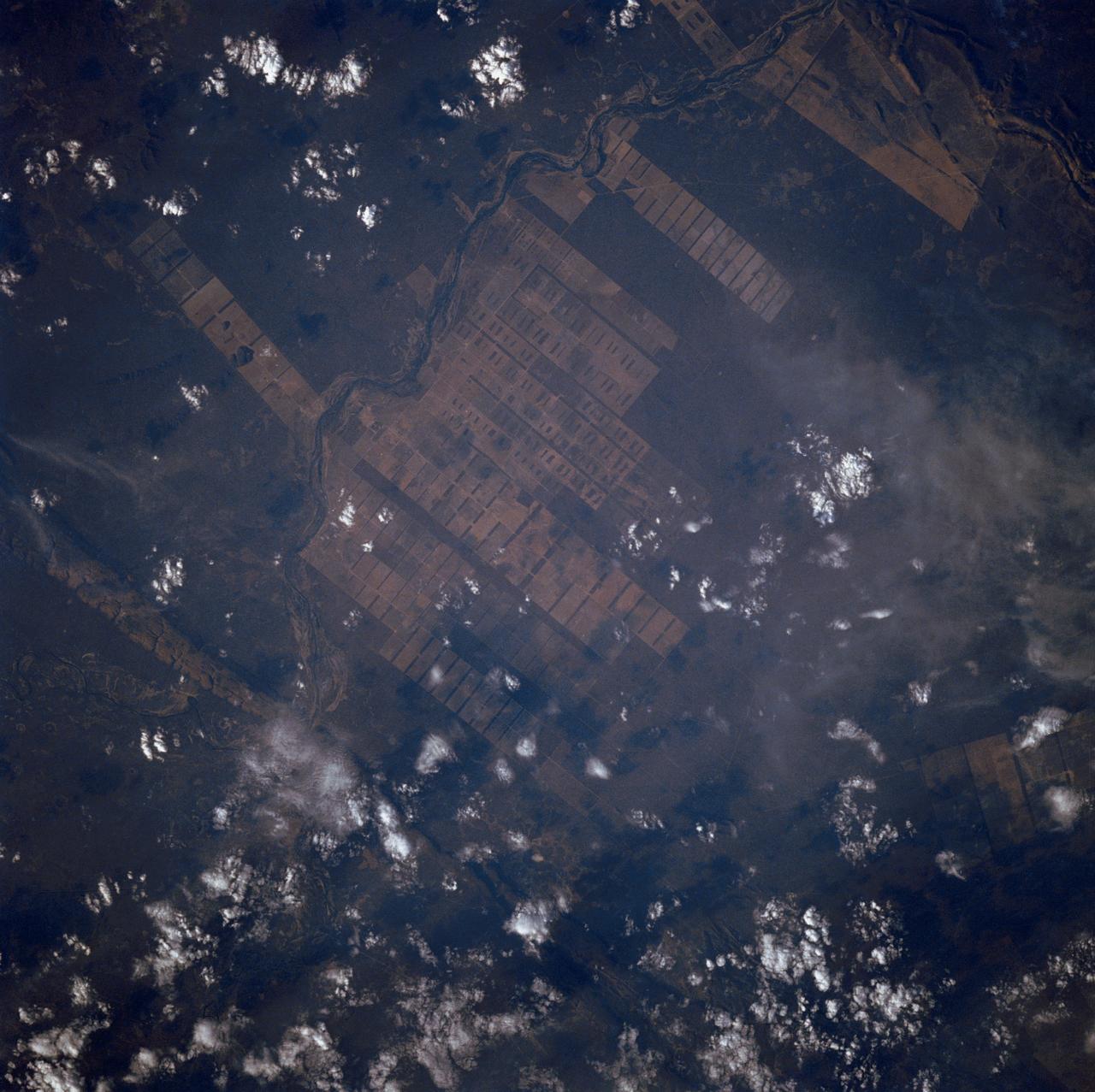
Agriculture, Rio Sao Francisco, Brazil, South America
1988-10-03 · NASA Image and Video Library
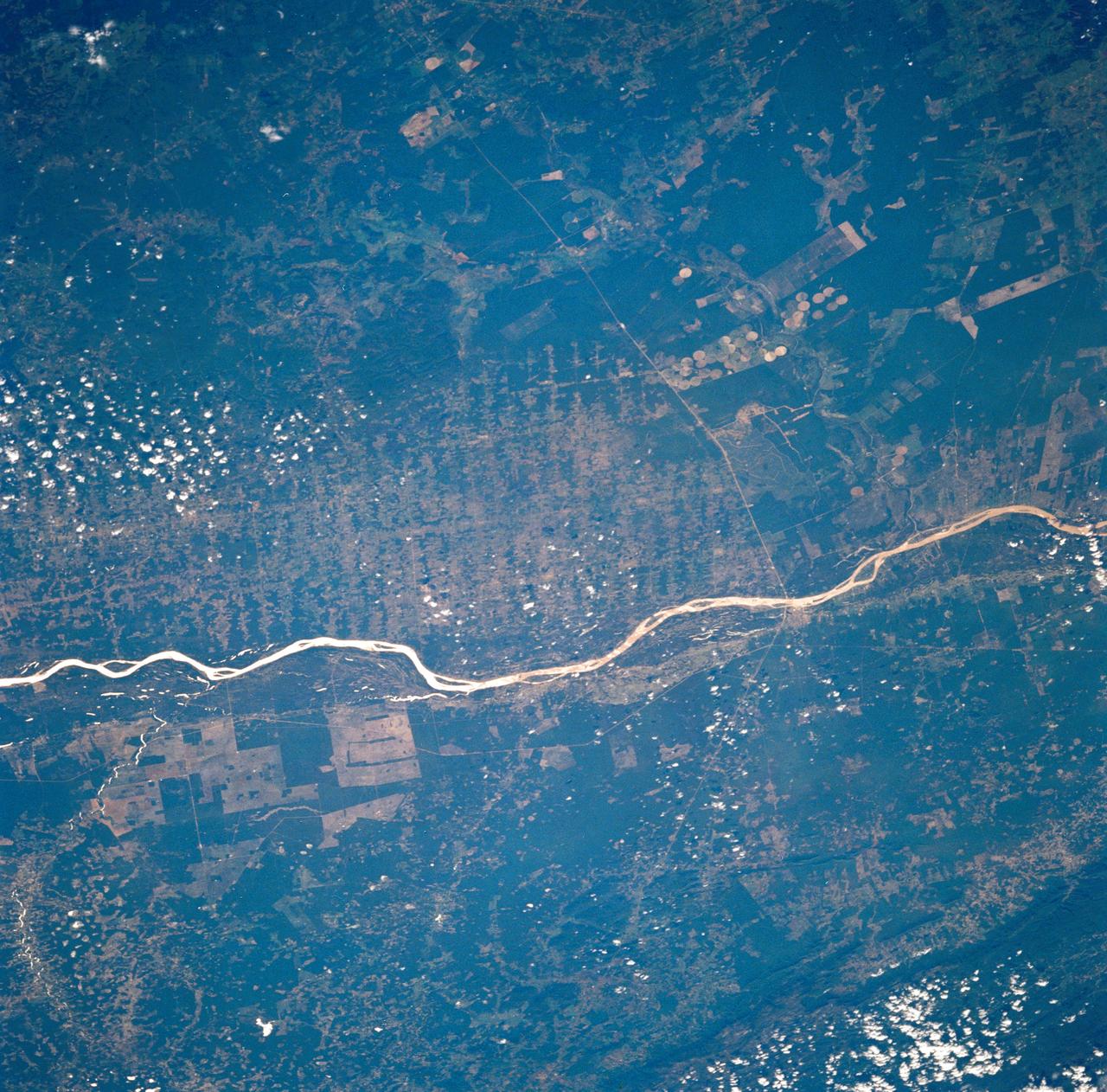
Agricultural and Ranching area, Rio Sao Francisco, Brazil
1990-12-10 · NASA Image and Video Library
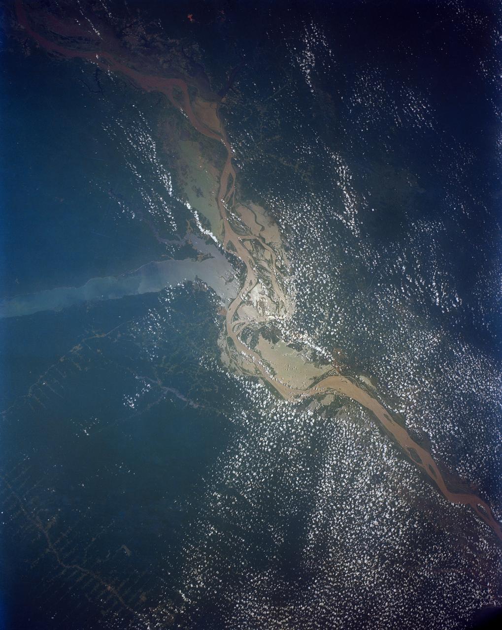
Confluence of the Amazon and Topajos Rivers, Brazil, South America
1991-08-11 · NASA Image and Video Library
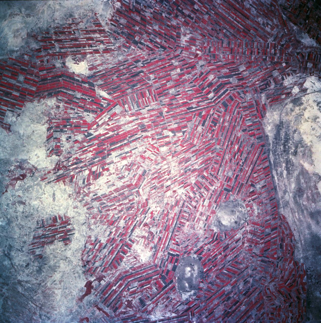
Sudan, Africa as seen from STS-66 shuttle Atlantis
1994-11-14 · NASA Image and Video Library
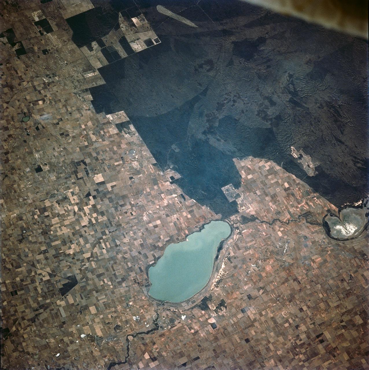
Australia fires and burn scars as seen from STS-62
1994-03-05 · NASA Image and Video Library
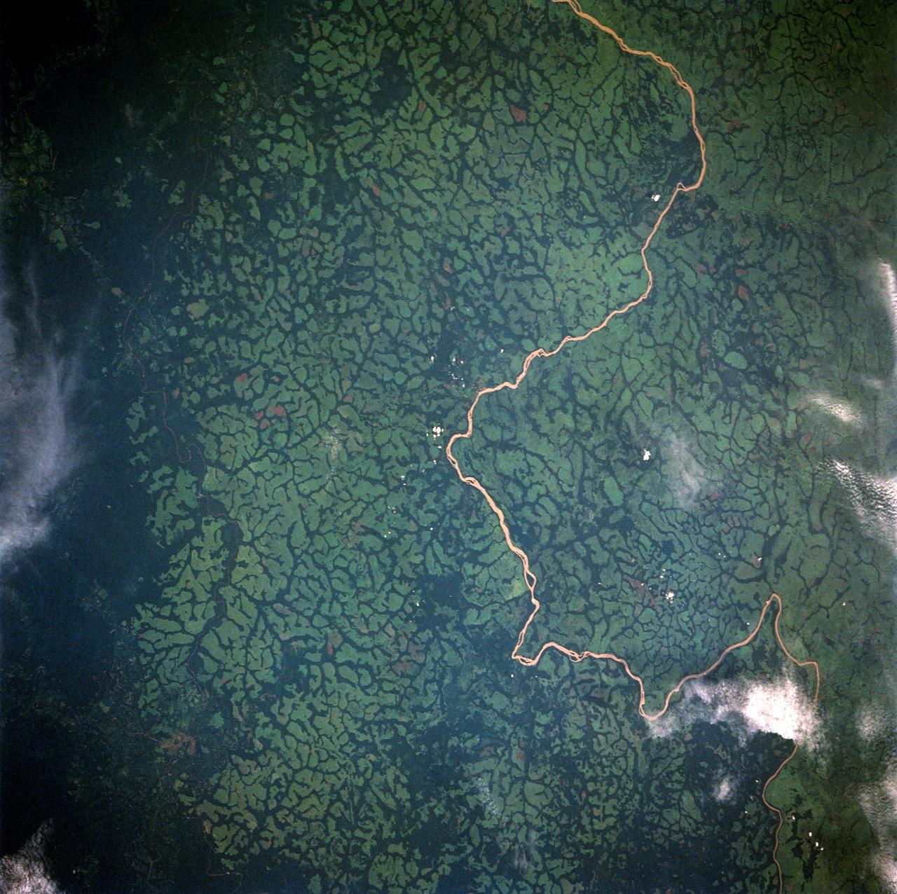
Uele River, Cleared Pasture Lands, Zaire, Africa
1992-05-16 · NASA Image and Video Library
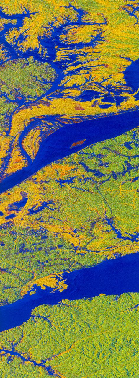
False-color L-band image of Manaus region of Brazil
1994-04-13 · NASA Image and Video Library