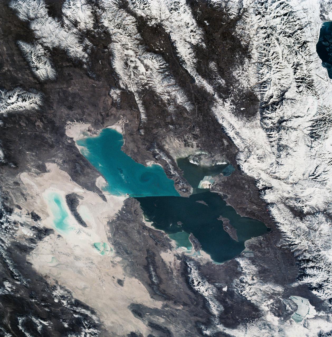
Great Salt Lake, Utah, USA
As seen from space, the Great Salt Lake, Utah, USA (41.5N, 112.5W) appears as two separate bodies of water with a narrow divider in the middle. At the turn of the century, a railroad bridge without culverts, was built across the lake and ever since, the water and salinity levels have been uneqal on either side. Fed by snowmelt from the nearby Wasatch Mountains, the lake in recent years has had record high water levels, threatening to flood the local areas.
- Date
- 1990-03-04
- Collection
- JSC
- Archive
- NASA Image and Video Library
- Type
- photograph
Public domainsafest
Reason: a NASA work: not copyrighted in the United States.
Read from: NASA media usage guidelines: NASA material is not copyrighted in the US unless noted; no third-party credit or mark found.
Credit line
"Great Salt Lake, Utah, USA" (1990-03-04). NASA/JSC. Public domain. https://images.nasa.gov/details/s36-81-054Need photos for a whole script? Add Find Any Photo to Claude and ask for this one by its id: 15130.
More like this
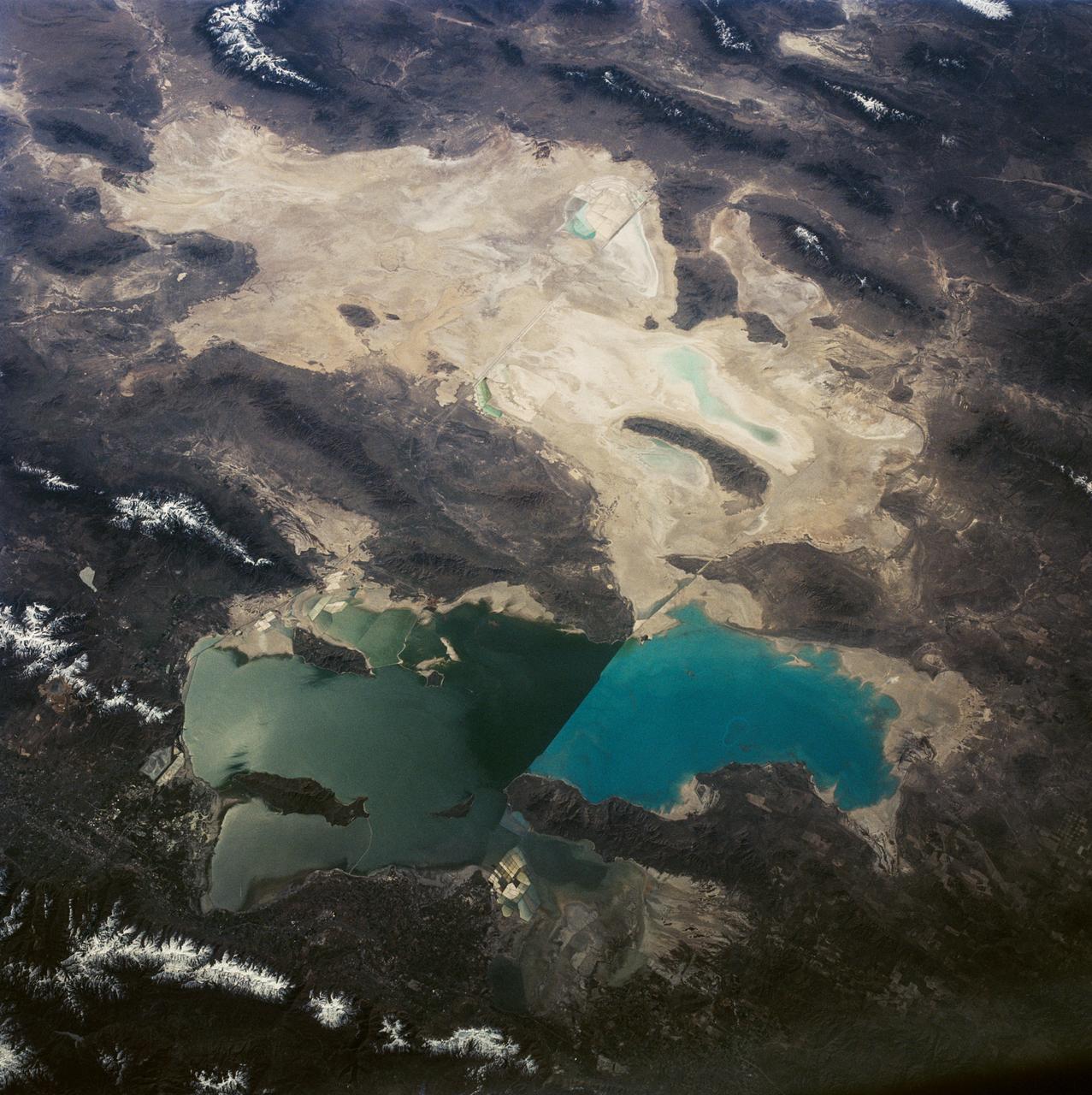
Great Salt Lake and Bonneville Salt Flats, UT, USA
1992-04-02 · NASA Image and Video Library
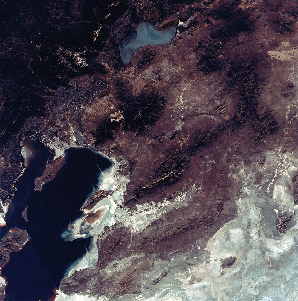
View of the Salt Lake City, Utah area
1973-08-30 · NASA Image and Video Library
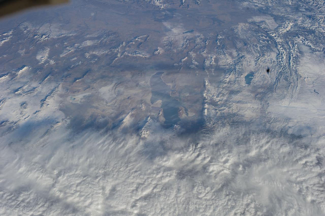
Earth Observations taken by Expedition 38 crewmember
2013-11-22 · NASA Image and Video Library
Earth Observation
2014-07-06 · NASA Image and Video Library
Earth Observation
2014-07-06 · NASA Image and Video Library
Mono Lake, California as seen from STS-59
1994-04-14 · NASA Image and Video Library
Space Radar Image of Salt Lake City, Utah
1999-04-15 · NASA Image and Video Library
Lake Eyre, Simpson Desert, South Australia, Australia
1990-12-10 · NASA Image and Video Library