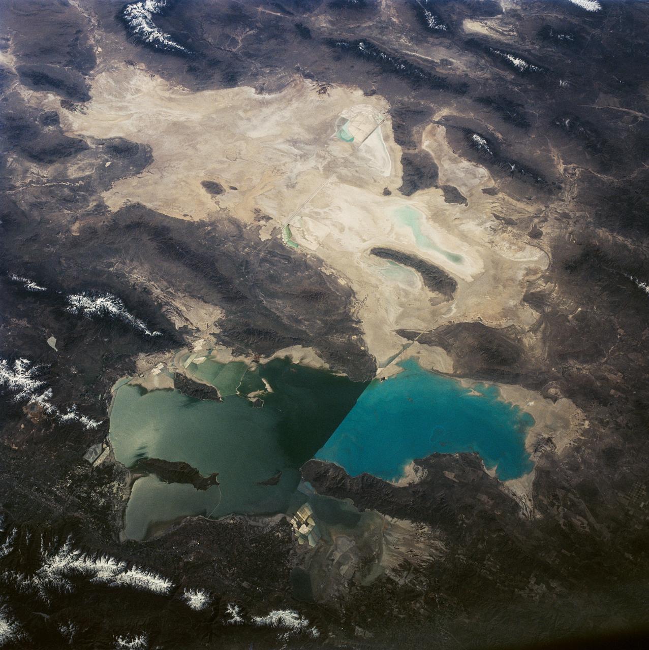
Great Salt Lake and Bonneville Salt Flats, UT, USA
This is a view of the Great Salt Lake and nearby Bonneville Salt Flats, UT, (41.0N, 112.5W). A railroad causeway divides the lake with a stark straight line changing the water level and chemistry of the lake as a result. Fresh water runoff enters from the south adding to the depth and reducing the salinity. The north half receives little frsh water and is more saline and shallow. The Bonnieville Salt Flats is the lakebed of a onetime larger lake.
- Date
- 1992-04-02
- Collection
- JSC
- Archive
- NASA Image and Video Library
- Type
- photograph
Public domainsafest
Reason: a NASA work: not copyrighted in the United States.
Read from: NASA media usage guidelines: NASA material is not copyrighted in the US unless noted; no third-party credit or mark found.
Credit line
"Great Salt Lake and Bonneville Salt Flats, UT, USA" (1992-04-02). NASA/JSC. Public domain. https://images.nasa.gov/details/s45-84-036Need photos for a whole script? Add Find Any Photo to Claude and ask for this one by its id: 15549.
More like this
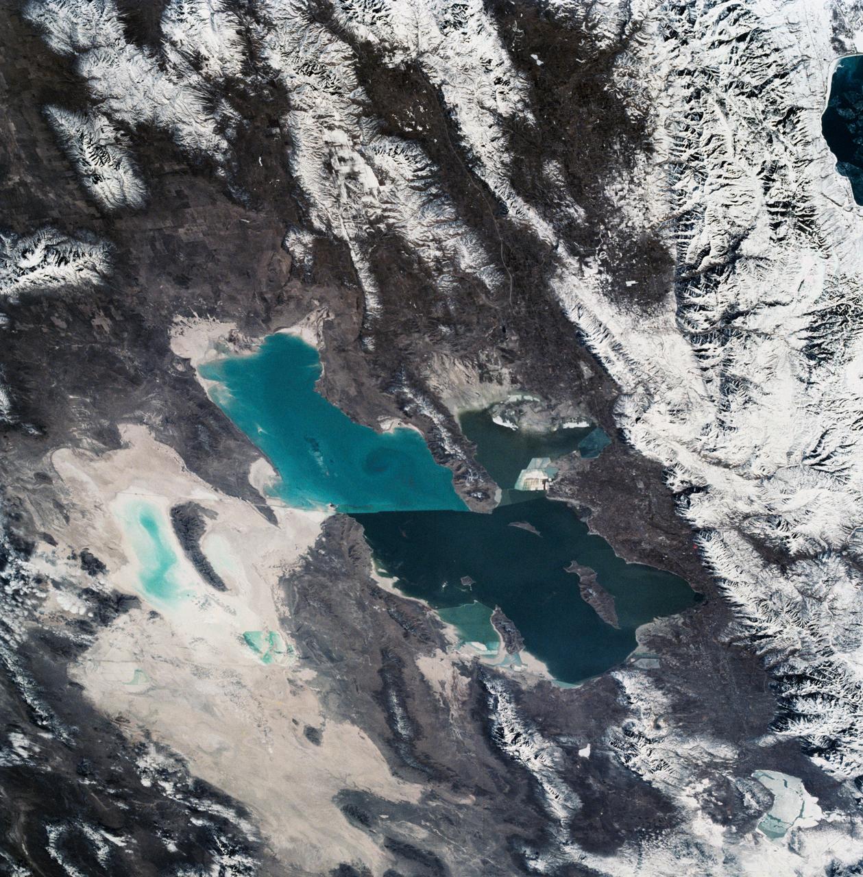
Great Salt Lake, Utah, USA
1990-03-04 · NASA Image and Video Library
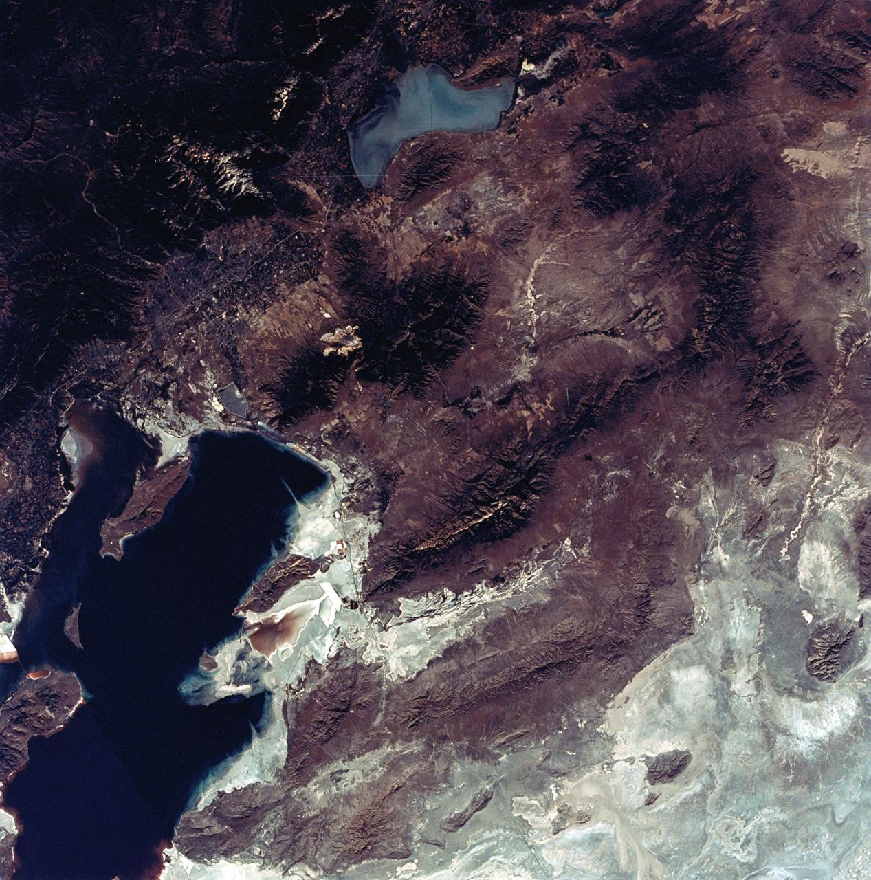
View of the Salt Lake City, Utah area
1973-08-30 · NASA Image and Video Library
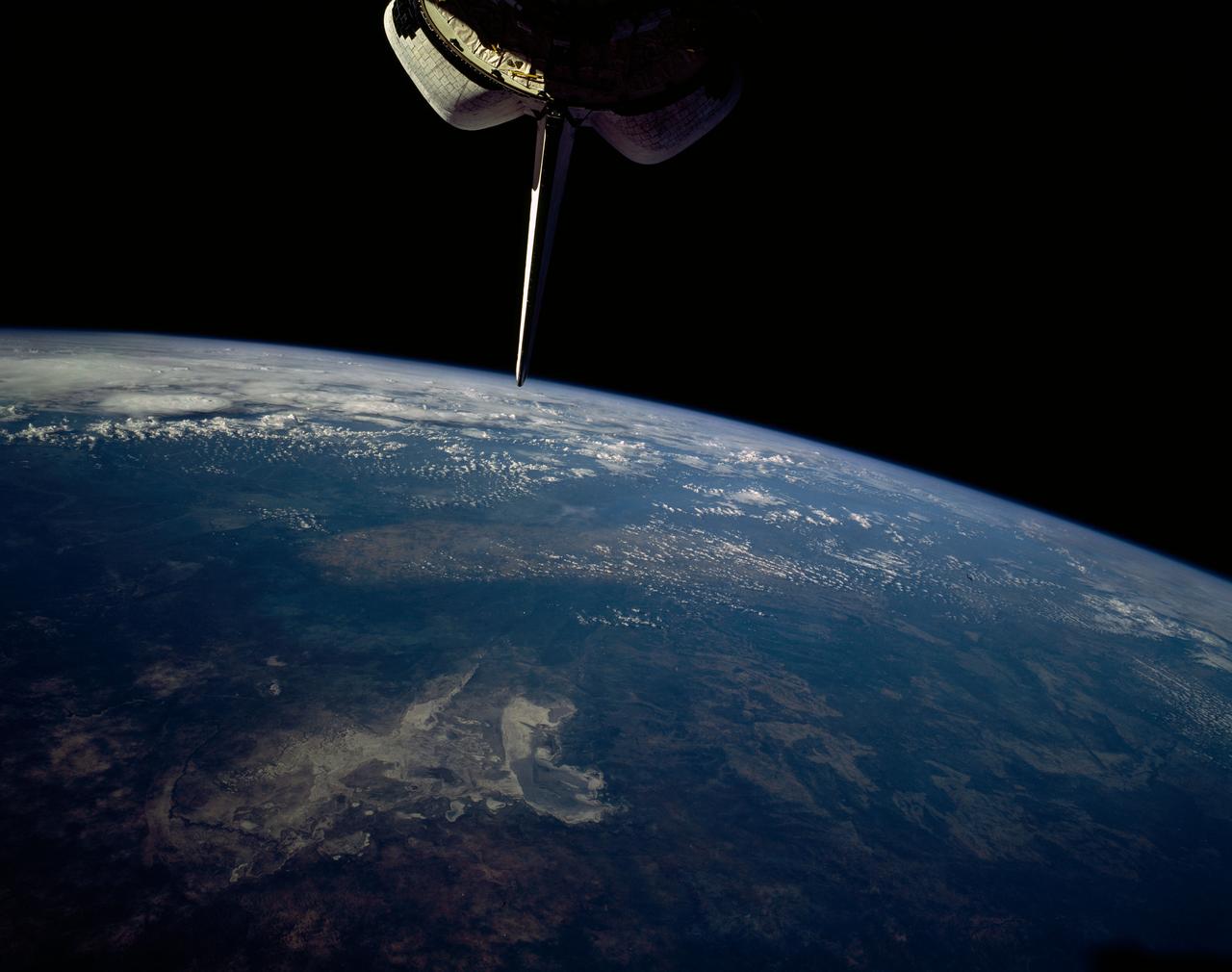
Makgadikgadi Salt Pan, Botswana, Africa
1992-01-19 · NASA Image and Video Library
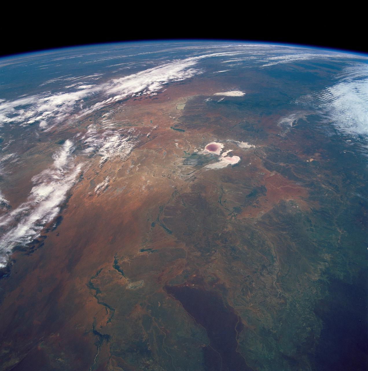
Lake Eyre, Simpson Desert, South Australia, Australia
1990-12-10 · NASA Image and Video Library
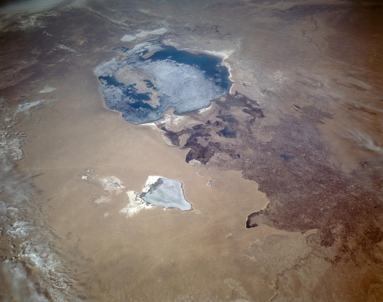
Aral Sea in Uzbekastan seen from STS-59
1994-04-14 · NASA Image and Video Library
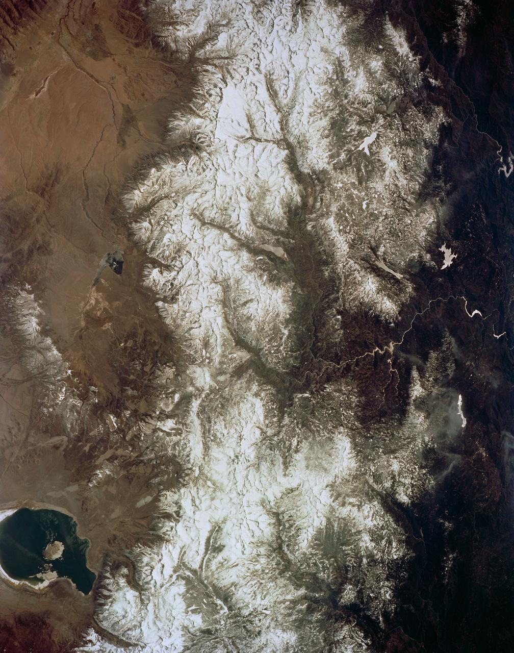
Mono Lake, California as seen from STS-59
1994-04-14 · NASA Image and Video Library
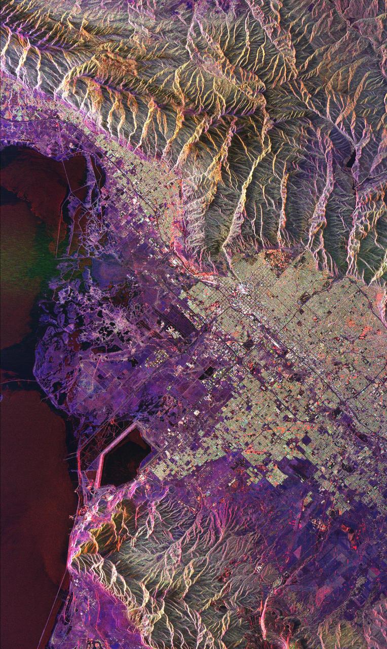
Space Radar Image of Salt Lake City, Utah
1999-04-15 · NASA Image and Video Library
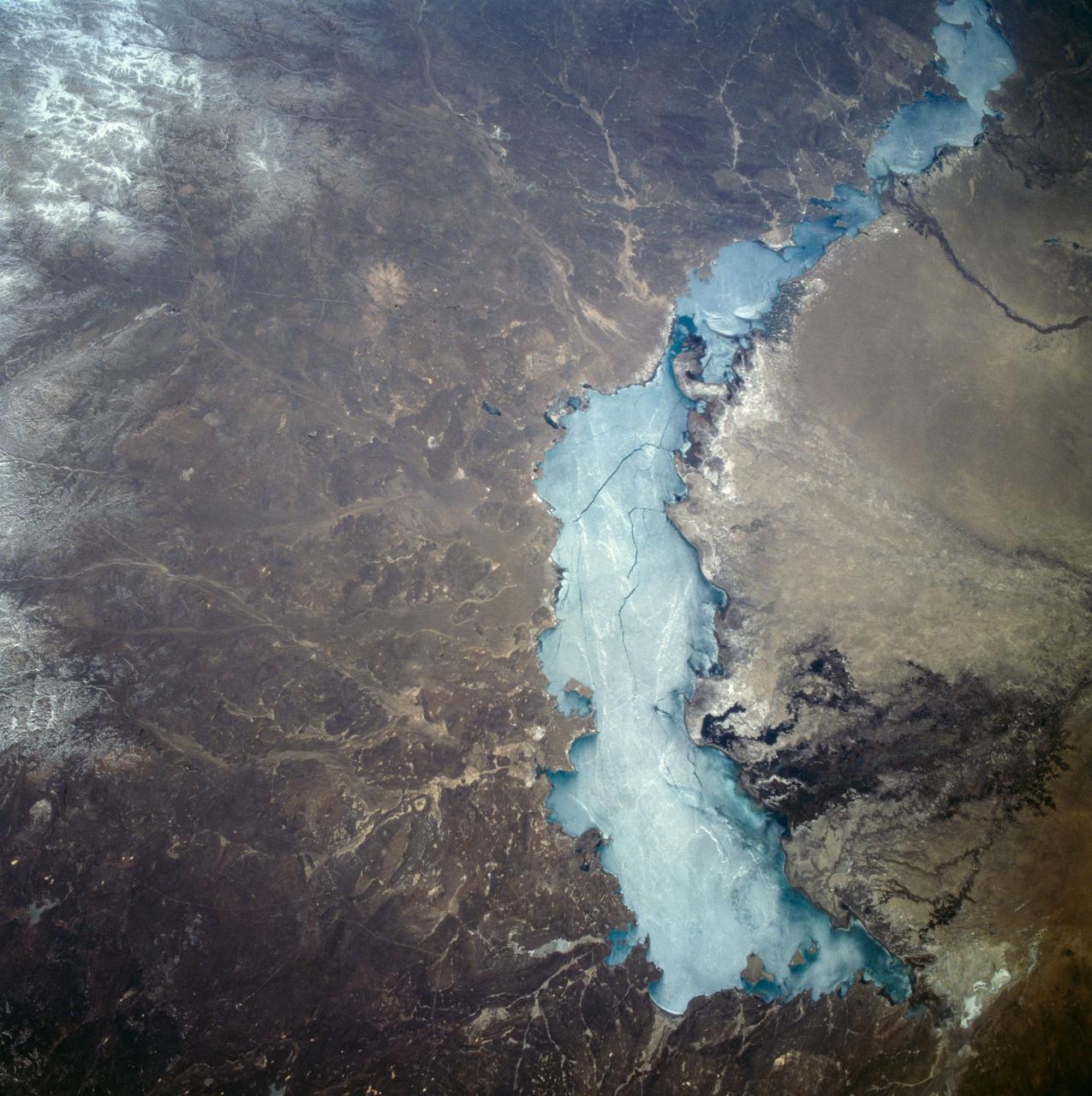
Lake Balkhash, Kazakhstan seen from STS-59
1994-04-14 · NASA Image and Video Library