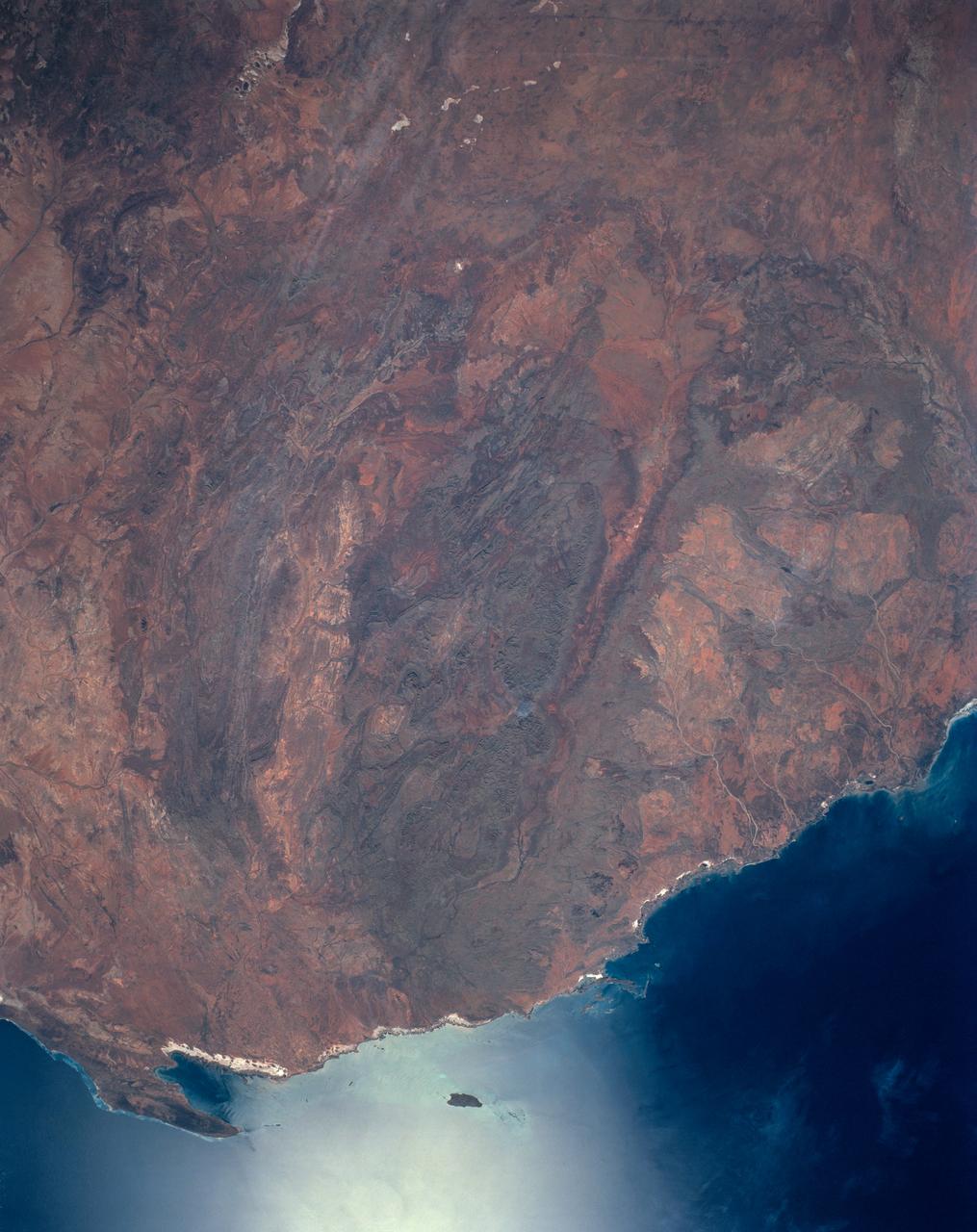
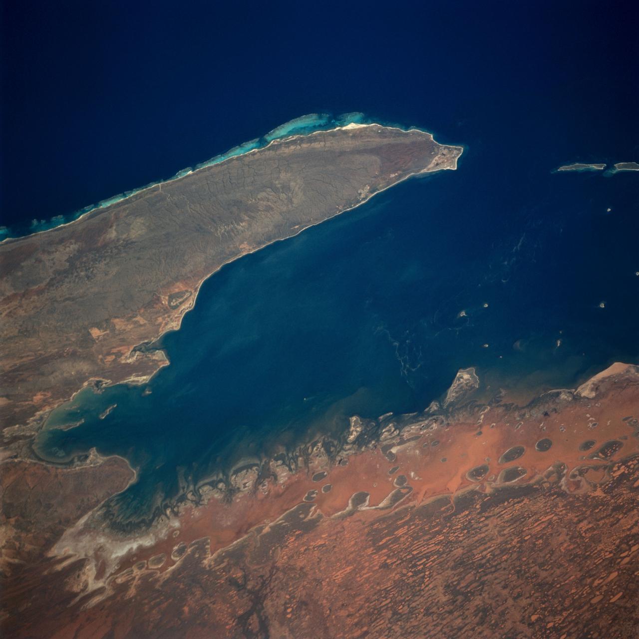
Hammersley Range, northern Western Australia
The oval shaped basin of the sedimentary rocks of the Hammersley Range, northern Western Australia (23.0S, 119.0E) dominates the center of this near nadir view. The Fortescue River is the remarkably straight, fault controlled feature bordering the Hammersley on the north. Sand dunes are the main surface features in the northeast and southwest. Many dry lakebeds can be seen to the east as light grey colored patches along the watercourses.
- Date
- 1990-04-29
- Collection
- JSC
- Archive
- NASA Image and Video Library
- Type
- photograph
Public domainsafest
Reason: a NASA work: not copyrighted in the United States.
Read from: NASA media usage guidelines: NASA material is not copyrighted in the US unless noted; no third-party credit or mark found.
Credit line
"Hammersley Range, northern Western Australia" (1990-04-29). NASA/JSC. Public domain. https://images.nasa.gov/details/s31-152-000dlNeed photos for a whole script? Add Find Any Photo to Claude and ask for this one by its id: 15357.
More like this
Lake Eyre, Simpson Desert, South Australia, Australia
1990-12-10 · NASA Image and Video Library
Linear Dunes and Playas, Simson Desert, South Australia, Australia
1991-12-01 · NASA Image and Video Library
Namib Desert, Namibia, Africa
1990-04-29 · NASA Image and Video Library
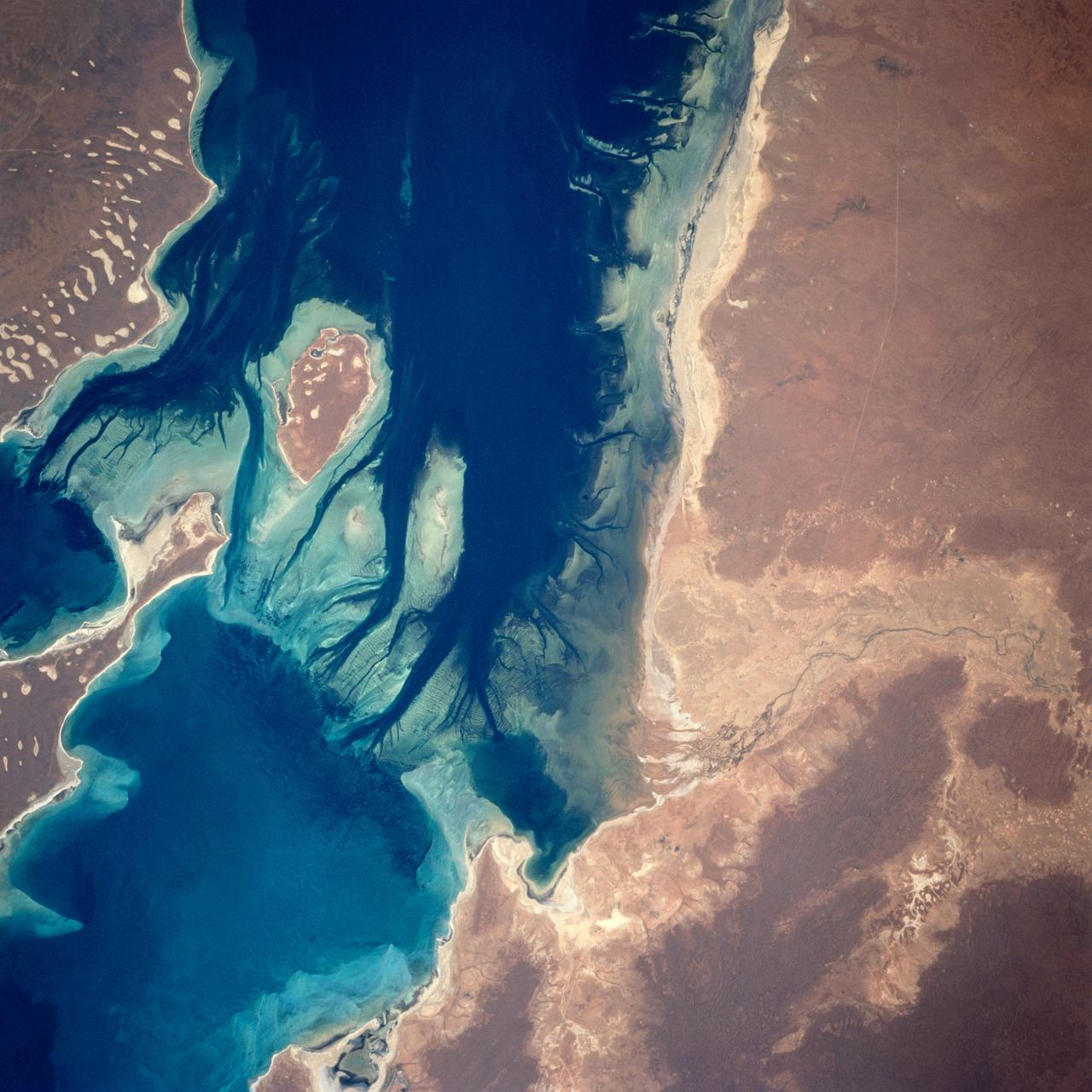
Disappointment Reach, Australia as seen from STS-67 Endeavour
1995-03-14 · NASA Image and Video Library
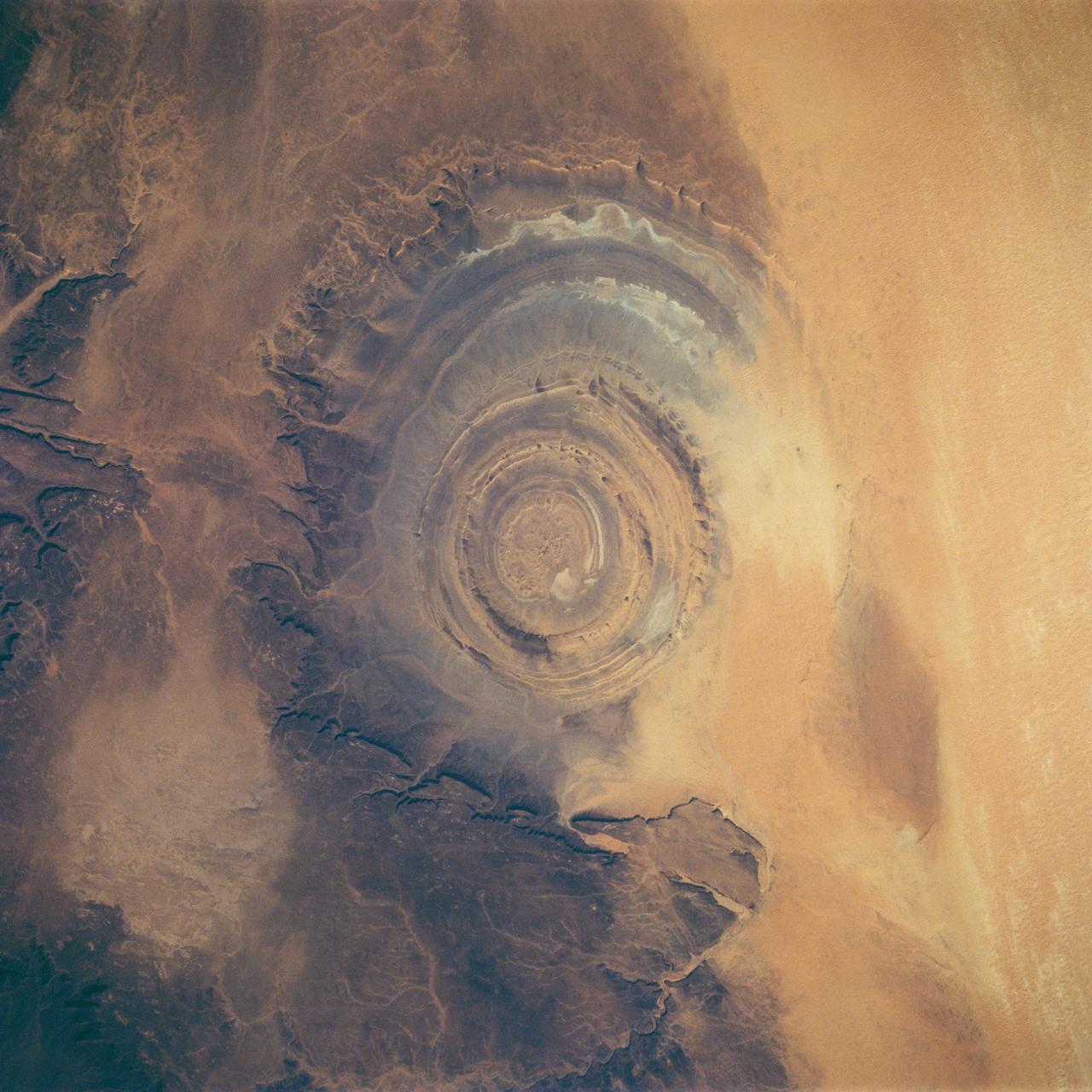
Earth observations during STS-58
1993-10-22 · NASA Image and Video Library
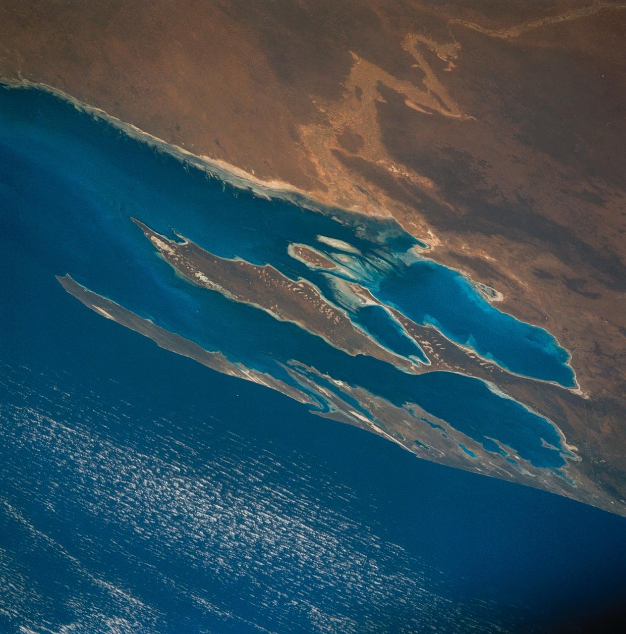
Algae Reefs in Shark Bay, Western Australia, Australia
1990-12-10 · NASA Image and Video Library
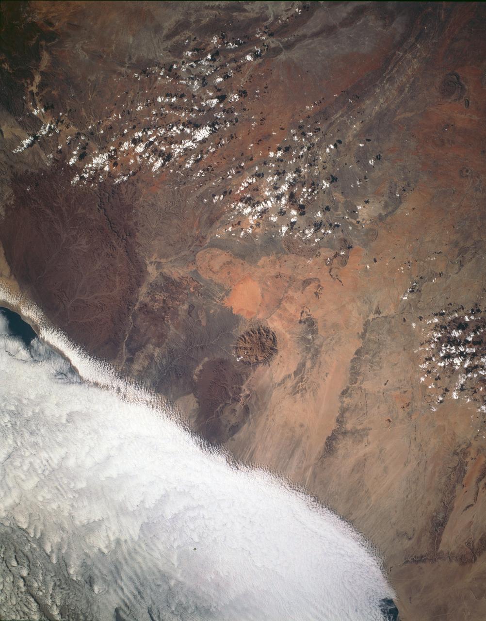
Brandburg Prominance, Namibia, Africa
1993-01-19 · NASA Image and Video Library
Exmouth Gulf, Australia as seen from STS-67 Endeavour
1995-03-17 · NASA Image and Video Library