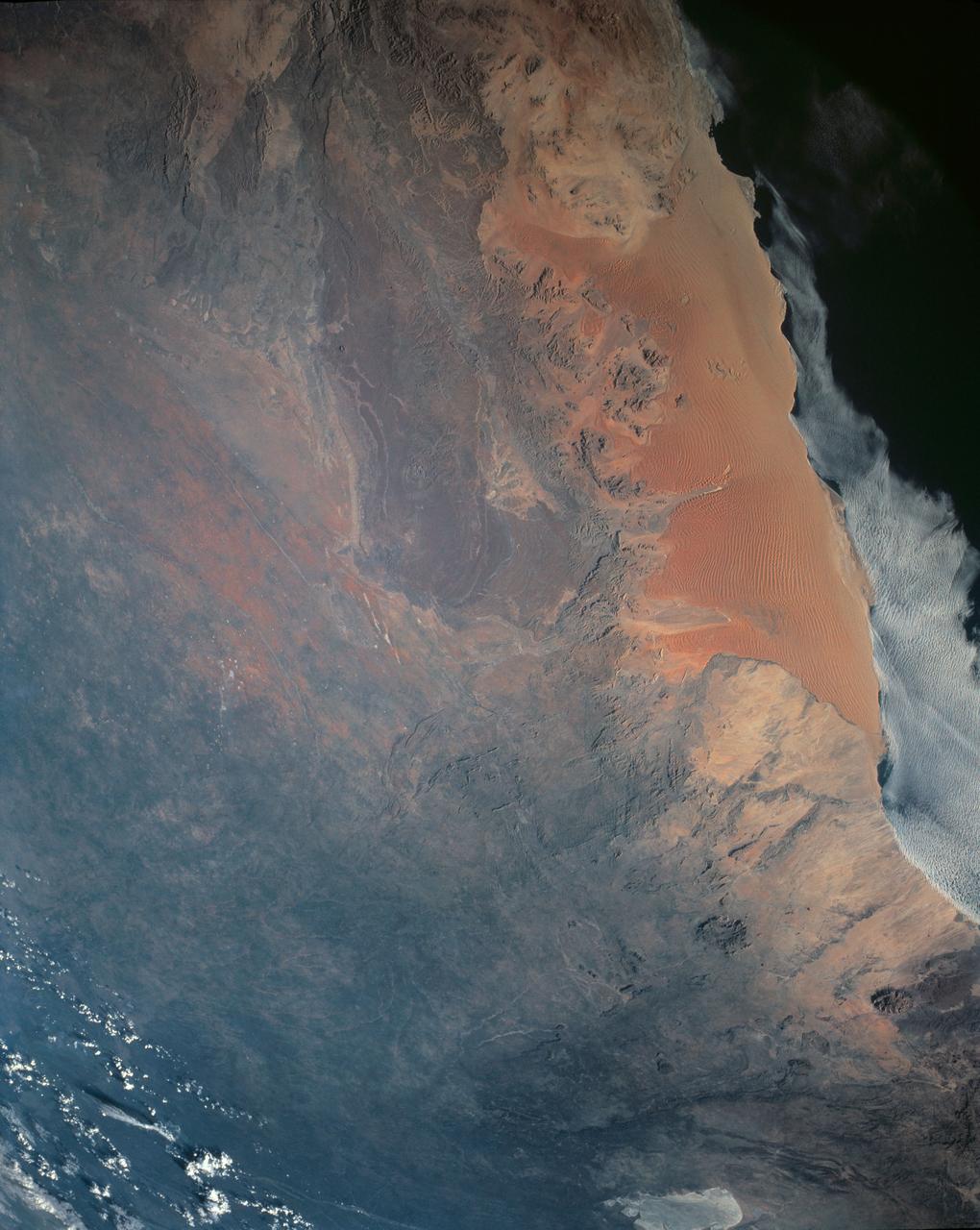
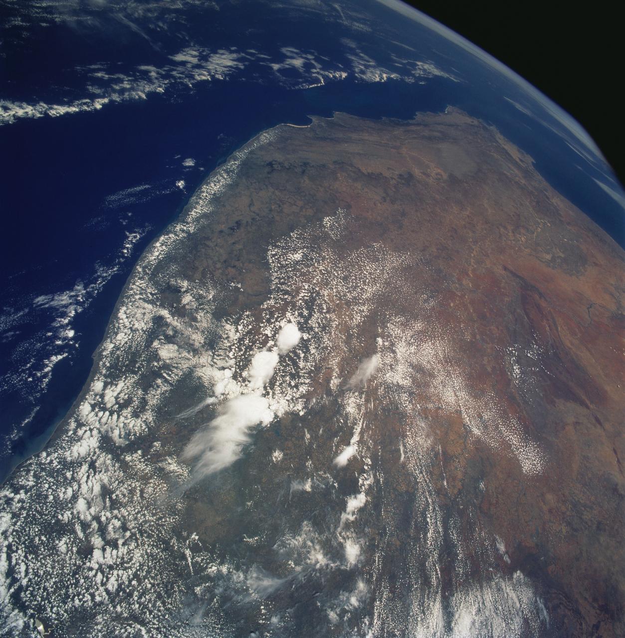
Namib Desert, Namibia, Africa
One of the driest regions on Earth, the Namib Desert, Namibia, Africa (23.0N, 15.0E) lies adjacent to the Atlantic coast but the upwelling oceanic water causes a very stable rainless atmosphere. The few local inland rivers do not reach the sea but instead, appear as long indentations where they penetrate the dune fields and end as small dry lakes. The vast dune fields are the result of sands deposited over millions of years by the stream flow.
- Date
- 1990-04-29
- Collection
- JSC
- Archive
- NASA Image and Video Library
- Type
- photograph
Public domainsafest
Reason: a NASA work: not copyrighted in the United States.
Read from: NASA media usage guidelines: NASA material is not copyrighted in the US unless noted; no third-party credit or mark found.
Credit line
"Namib Desert, Namibia, Africa" (1990-04-29). NASA/JSC. Public domain. https://images.nasa.gov/details/sts031-151-164Need photos for a whole script? Add Find Any Photo to Claude and ask for this one by its id: 15330.
More like this
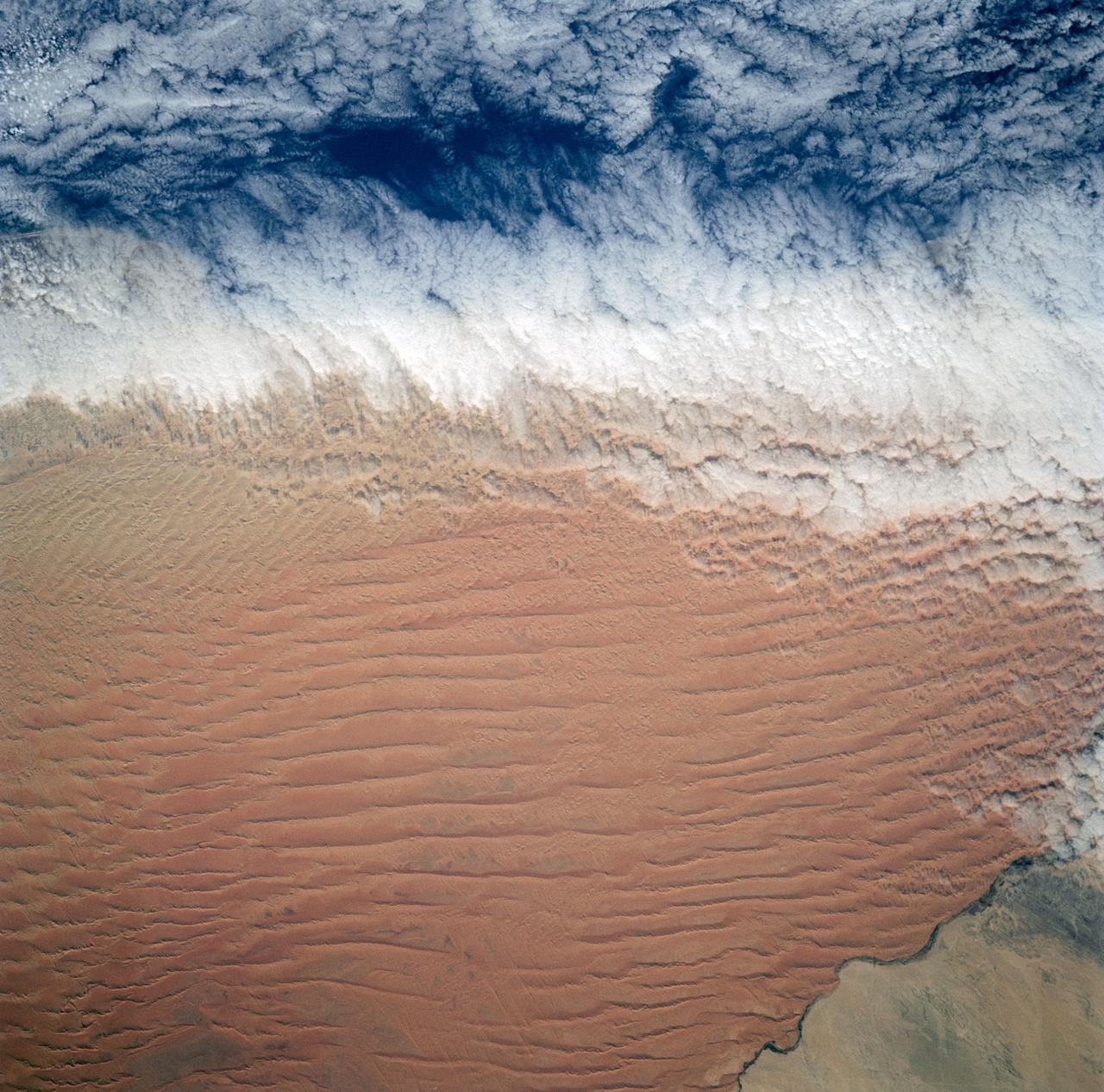
Fog Bank, Namib Desert, Namibia, Africa
1991-12-01 · NASA Image and Video Library
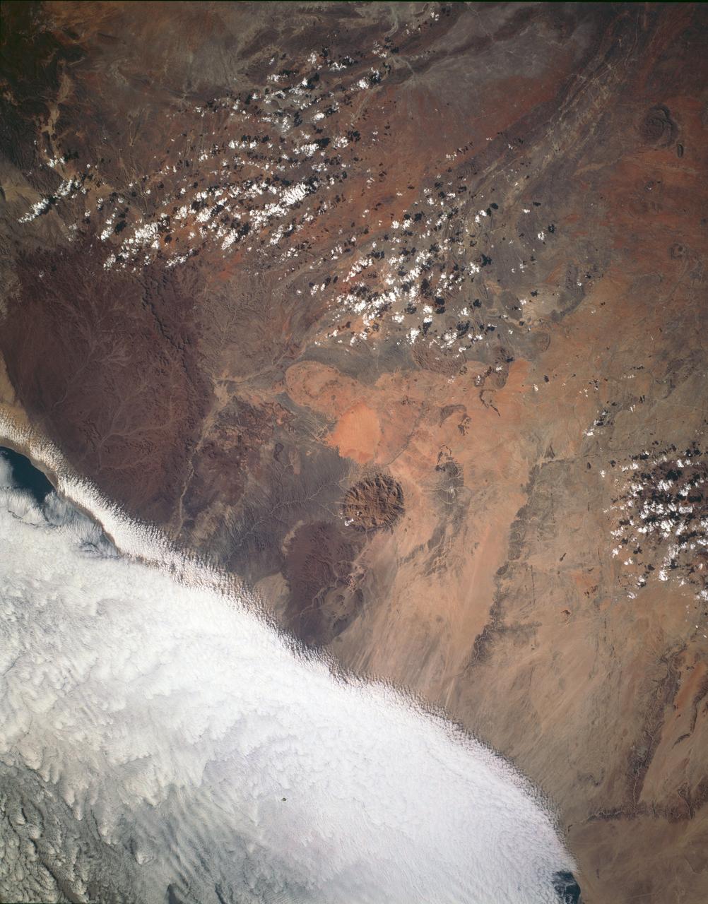
Brandburg Prominance, Namibia, Africa
1993-01-19 · NASA Image and Video Library
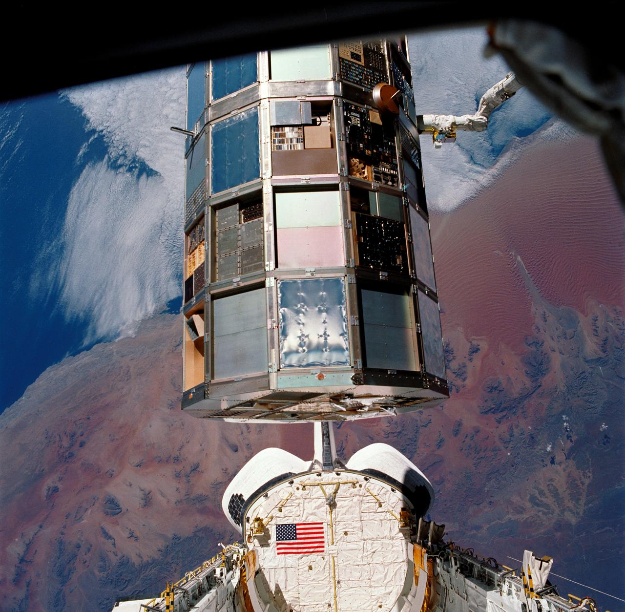
LDEF Retrieval over the Namib Desert, Namibia, Africa
1990-01-20 · NASA Image and Video Library
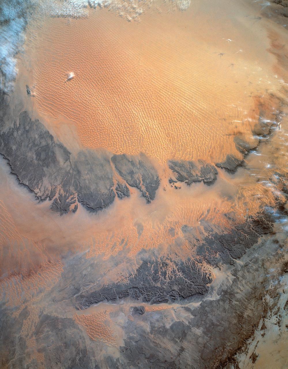
Murzuk Sand Sea, Sahara Desert, Libya, Africa
1993-01-19 · NASA Image and Video Library
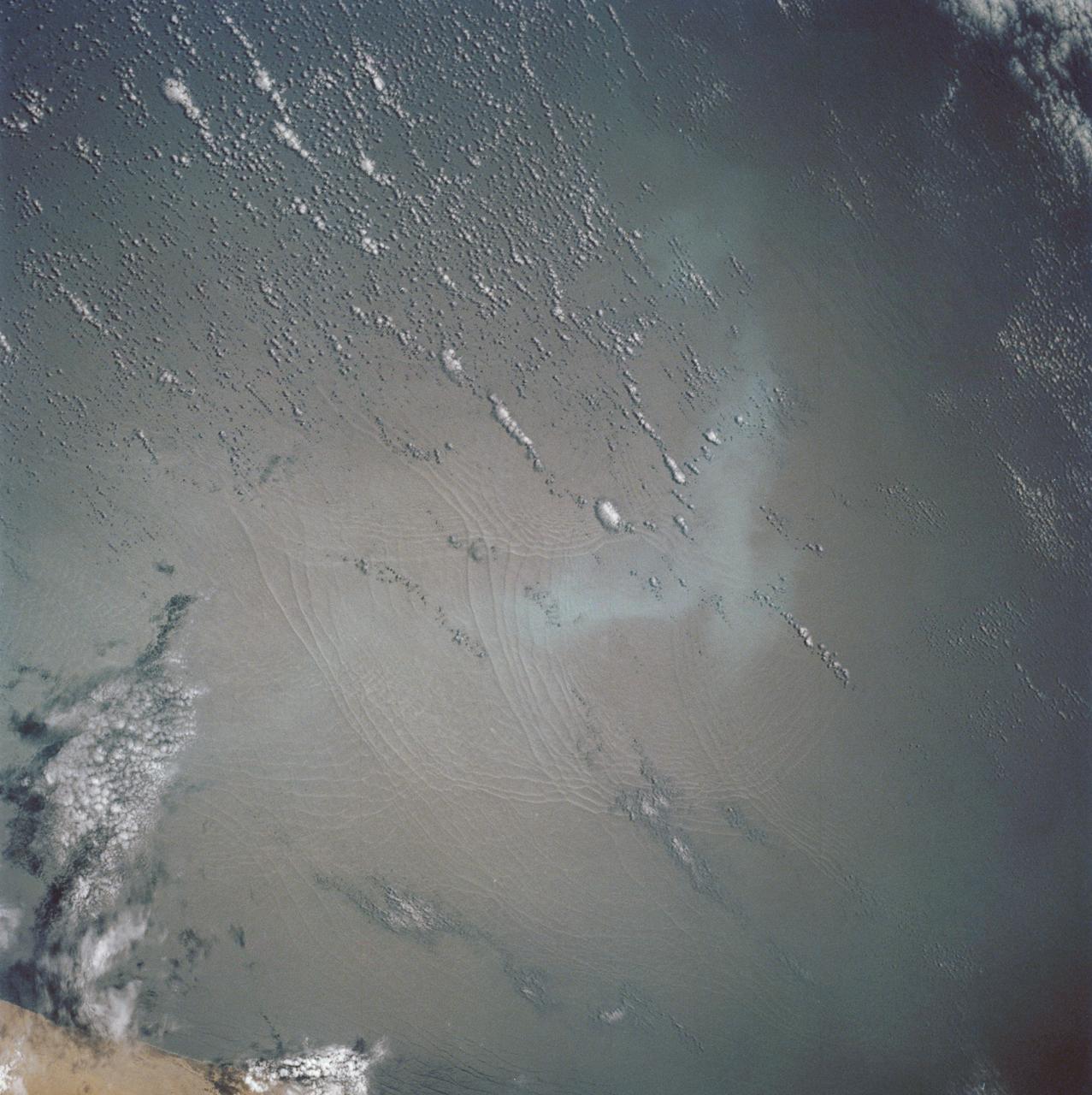
Open ocean Internal Waves, Namibia Coast, Africa.
1990-12-10 · NASA Image and Video Library
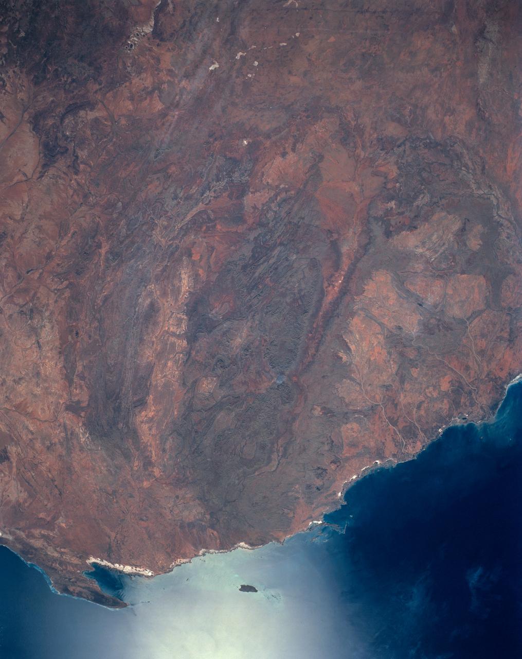
Hammersley Range, northern Western Australia
1990-04-29 · NASA Image and Video Library
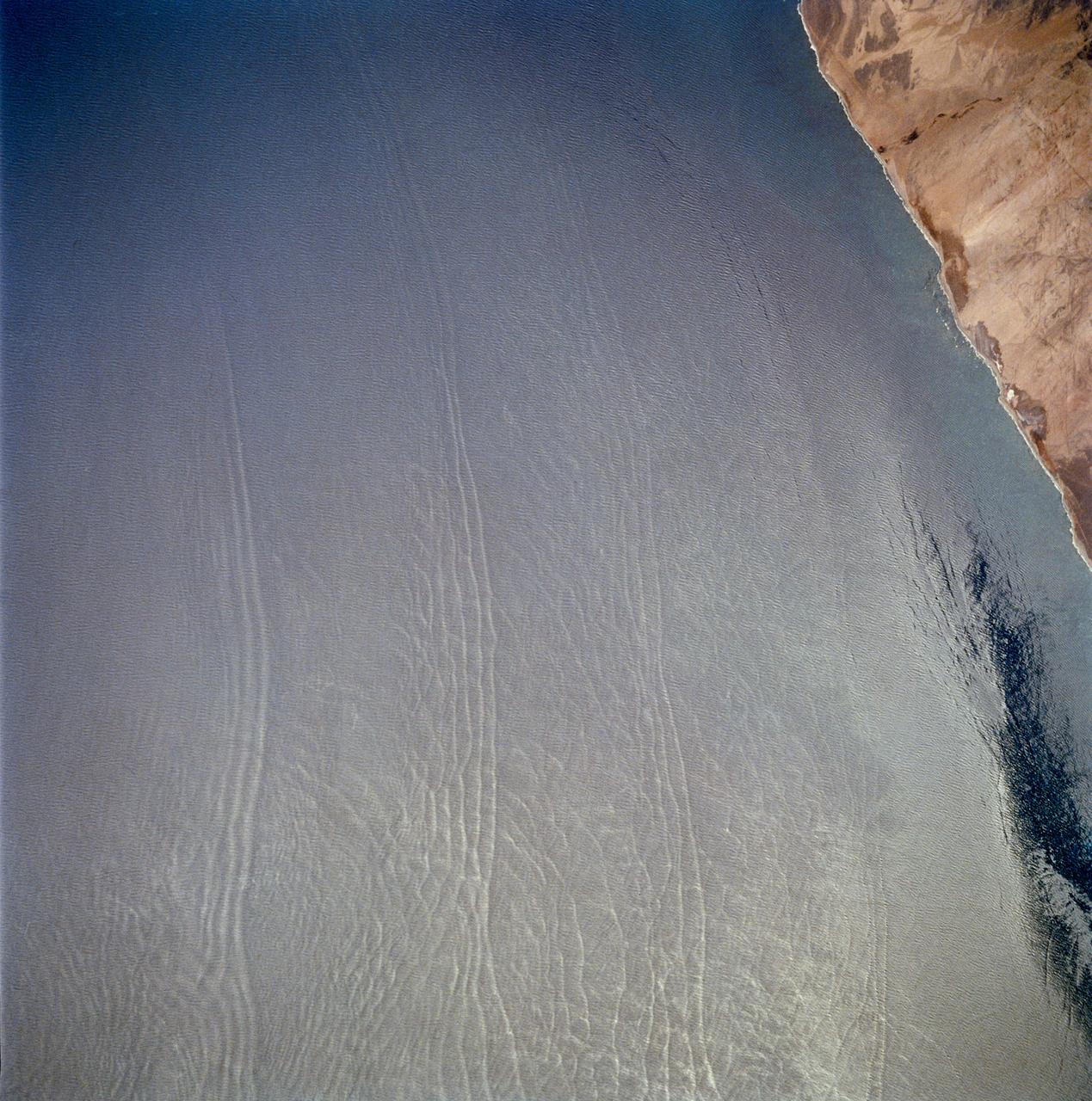
Open ocean Internal Waves, Namibia Coast, Africa.
1990-12-10 · NASA Image and Video Library
Southern Africa as seen from STS-61 Shuttle Endeavour
1993-12-09 · NASA Image and Video Library