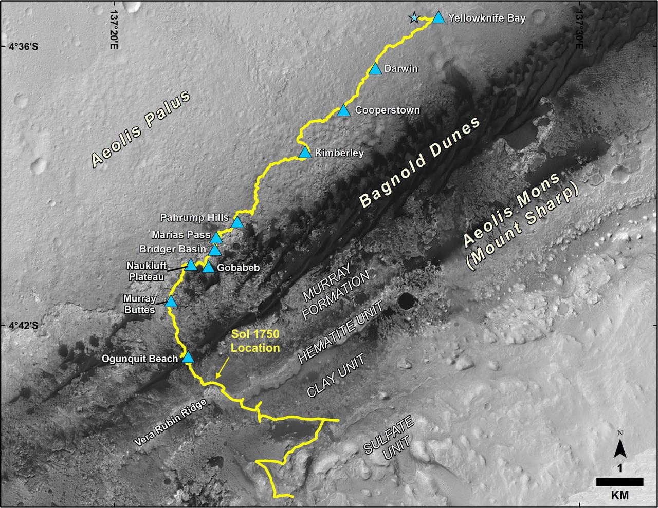
Mid-2017 Map of NASA's Curiosity Mars Rover Mission
This map shows the route driven by NASA's Curiosity Mars rover, from the location where it landed in August 2012 to its location in July 2017, and its planned path to additional geological layers of lower Mount Sharp. The blue star near top center marks "Bradbury Landing," the site where Curiosity arrived on Mars on Aug. 5, 2012, PDT (Aug. 6, EDT and Universal Time). Blue triangles mark waypoints investigated by Curiosity on the floor of Gale Crater and, starting with "Pahrump Hills," on Mount Sharp. The Sol 1750 label identifies the rover's location on July 9, 2017, the 1,750th Martian day, or sol, since the landing. In July 2017, the mission is examining "Vera Rubin Ridge" from the downhill side of the ridge. Spectrometry observations from NASA's Mars Reconnaissance Orbiter have detected hematite, an iron-oxide mineral, in the ridge. Curiosity's planned route continues to the top of the ridge and then to geological units where clay minerals and sulfate minerals have been detected from orbit. The base image for the map is from the High Resolution Imaging Science Experiment (HiRISE) camera on the Mars Reconnaissance Orbiter. North is up. "Bagnold Dunes" form a band of dark, wind-bl
- Date
- 2017-07-11
- Photographer / author
- NASA/JPL-Caltech/Univ. of Arizona
- Collection
- JPL
- Archive
- NASA Image and Video Library
- Type
- photograph
Public domainsafest
Reason: a NASA work: not copyrighted in the United States.
Read from: NASA media usage guidelines: NASA material is not copyrighted in the US unless noted; no third-party credit or mark found.
Credit line
"Mid-2017 Map of NASA's Curiosity Mars Rover Mission" (2017-07-11). NASA/JPL/NASA/JPL-Caltech/Univ. of Arizona. Public domain. https://images.nasa.gov/details/PIA21720Need photos for a whole script? Add Find Any Photo to Claude and ask for this one by its id: 23351.
More like this
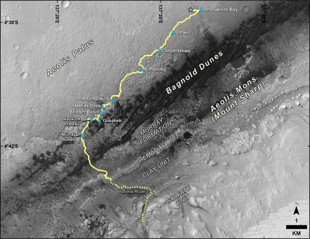
Late 2016 Map of NASA Curiosity Mars Rover Mission
2016-12-13 · NASA Image and Video Library
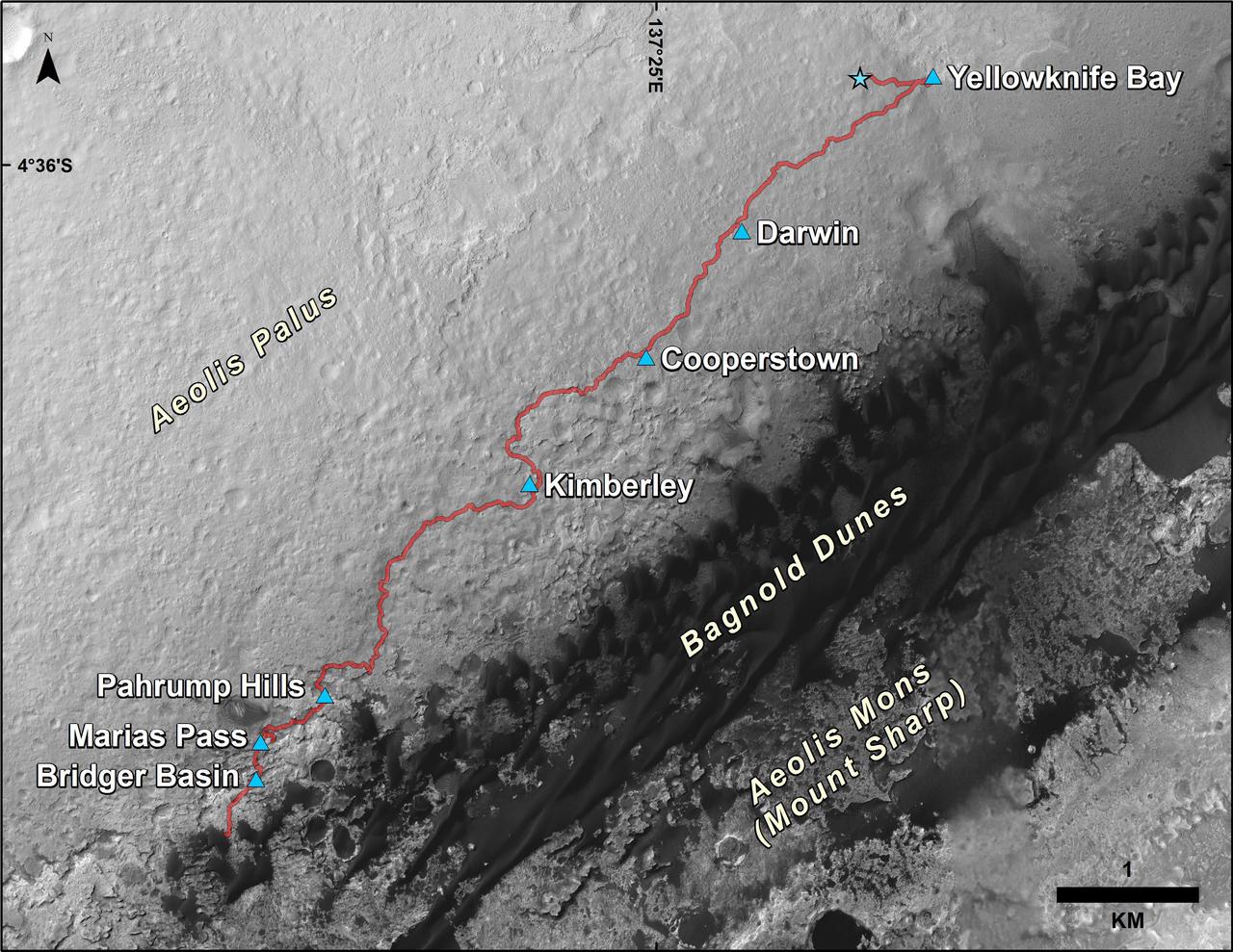
Curiosity Rover Traverse, First 1,185 Sols on Mars
2015-12-17 · NASA Image and Video Library
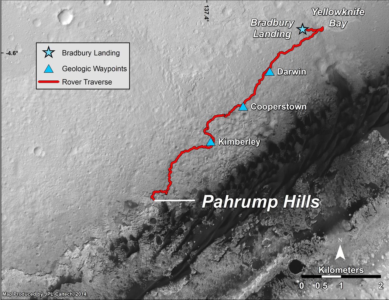
Curiosity Mars Rover Route from Landing to Pahrump Hills
2014-09-25 · NASA Image and Video Library
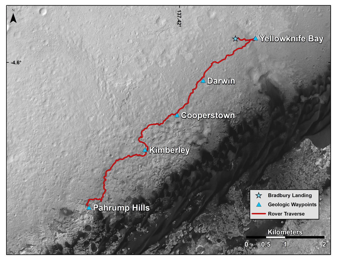
Curiosity Mars Rover Route from Landing to Base of Mount Sharp
2014-12-08 · NASA Image and Video Library
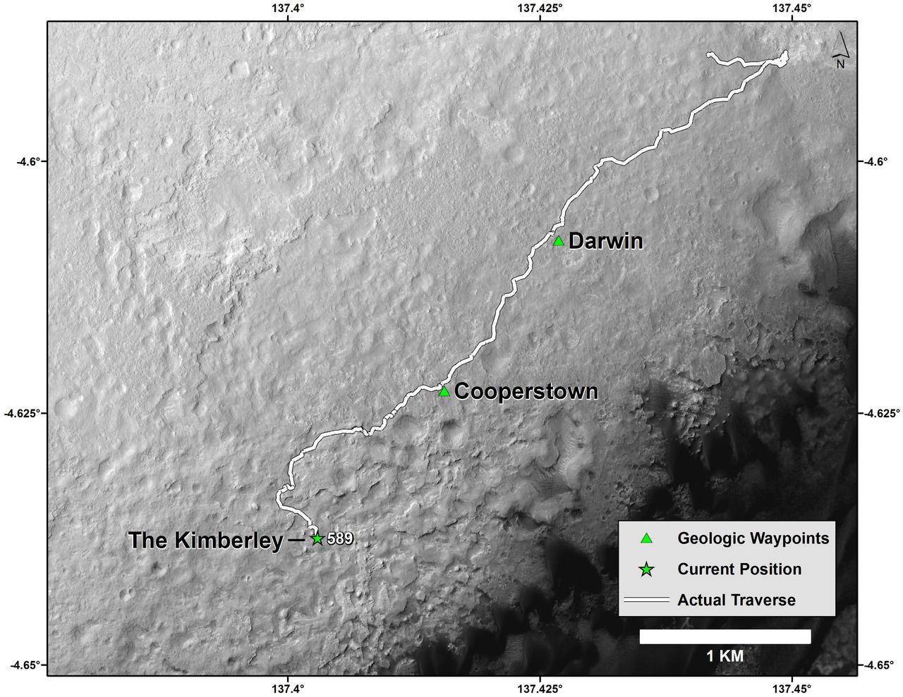
Curiosity Mars Rover Route from Landing to The Kimberley Waypoint
2014-04-03 · NASA Image and Video Library
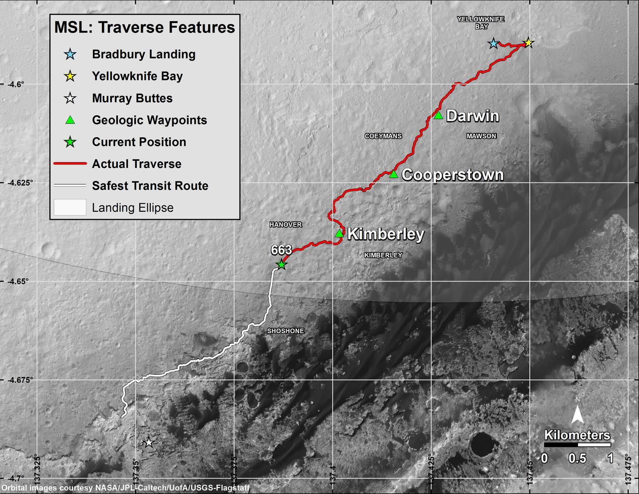
Curiosity Rover Traverse, First 663 Sols on Mars
2014-06-23 · NASA Image and Video Library
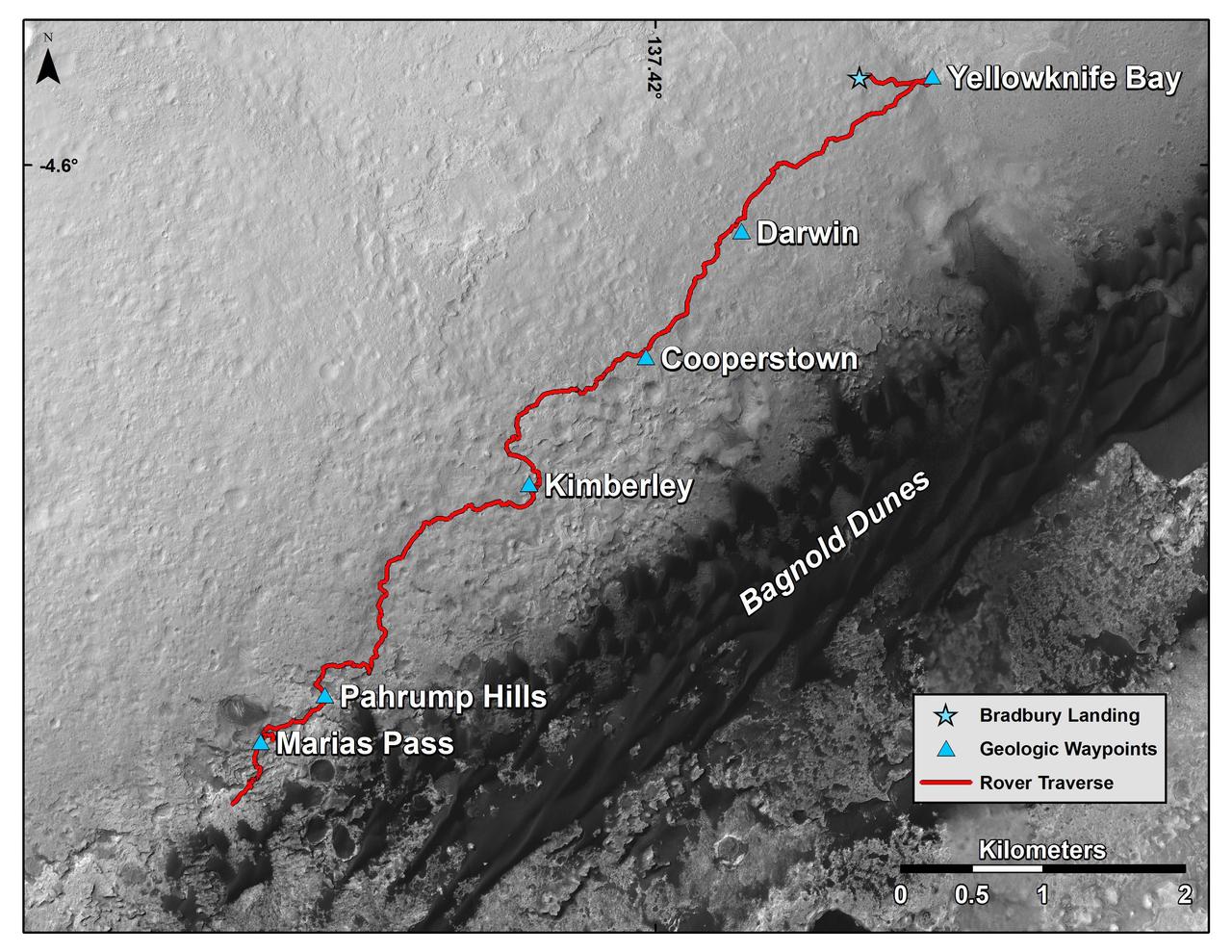
Curiosity Rover Traverse, First 1,163 Sols on Mars
2015-11-16 · NASA Image and Video Library
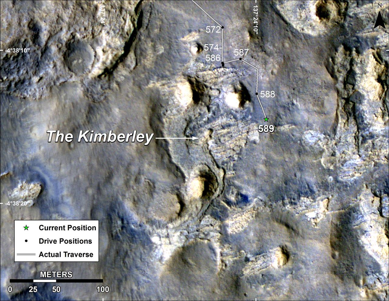
Map of Curiosity Mars Rover Drives to the Kimberley Waypoint
2014-04-03 · NASA Image and Video Library