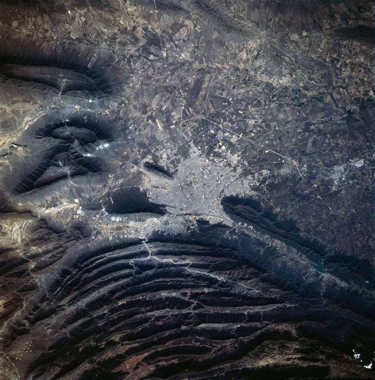
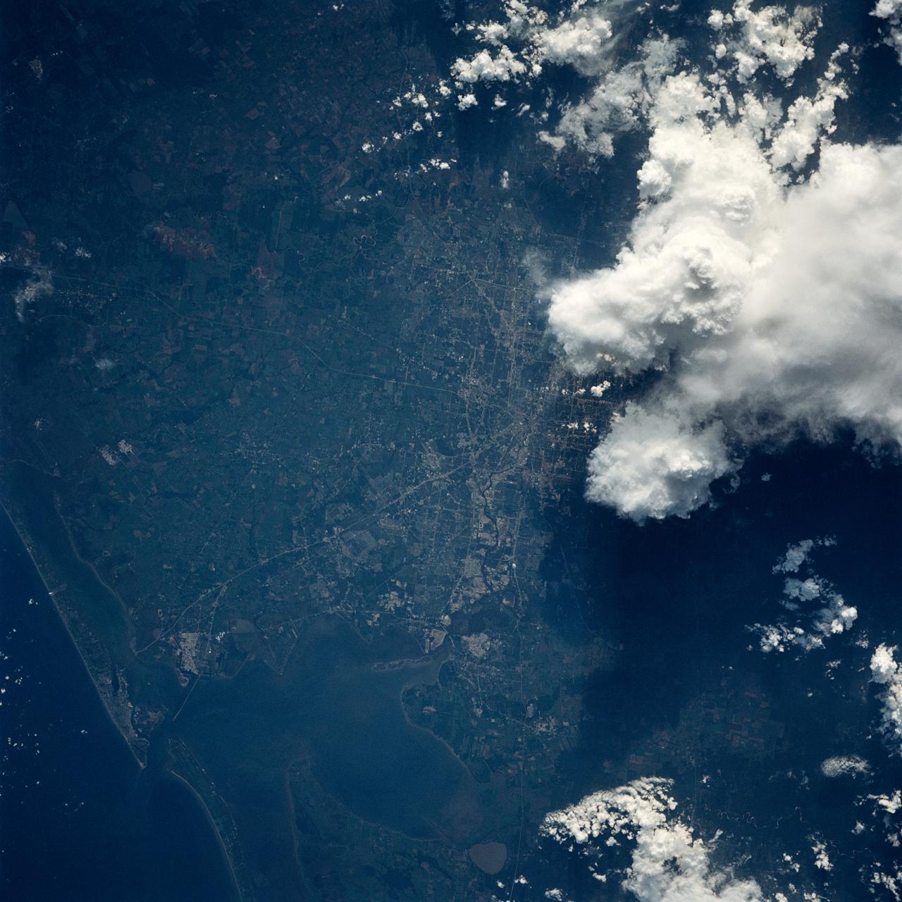
Monterrey, Mexico as seen from STS-60
STS060-83-041 (3-11 Feb 1994) --- The large city of Monterrey, in northeastern Mexico, was founded at the edge between the Sierra Madre Oriental and the Rio Grande Embayment portion of the Gulf Coastal Plain. This location is analogous to the Fall Line along the United States eastern seaboard, but instead of lying along a stream at the head of navigation, Monterrey lies at the boundary between a well-watered mountain range and a semi-arid plain where irrigation is often necessary for successful agriculture. The mountains themselves are formed from folded limestone and shale beds; to the south of the city, beds are crumpled into tight folds. Around and north of the city, more open folds gradually give way to nearly flat-lying beds of the coastal plain. Because of the water and other resources such as shale and limestone to quarry and burn for cement, Monterrey early became a thriving industrial center. It is now one of Mexico's largest cities with a population of approximately 5 million. According to NASA geologists, the STS-60 photography of this area is the best that has been acquired during the past 32 years of space photography by the United States. Monterrey remains an area of
- Date
- 1994-02-09
- Collection
- JSC
- Archive
- NASA Image and Video Library
- Type
- photograph
Public domainsafest
Reason: a NASA work: not copyrighted in the United States.
Read from: NASA media usage guidelines: NASA material is not copyrighted in the US unless noted; no third-party credit or mark found.
Credit line
"Monterrey, Mexico as seen from STS-60" (1994-02-09). NASA/JSC. Public domain. https://images.nasa.gov/details/sts060-83-041Need photos for a whole script? Add Find Any Photo to Claude and ask for this one by its id: 15189.
More like this
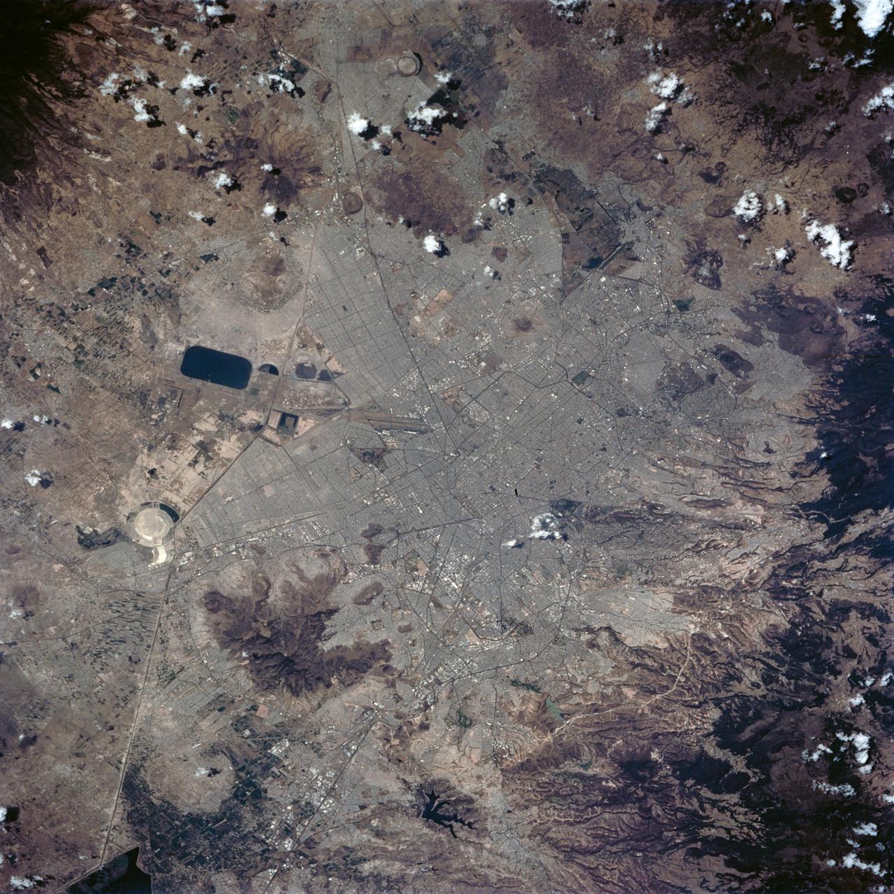
Mexico City, Mexico as seen from STS-62
1994-03-05 · NASA Image and Video Library
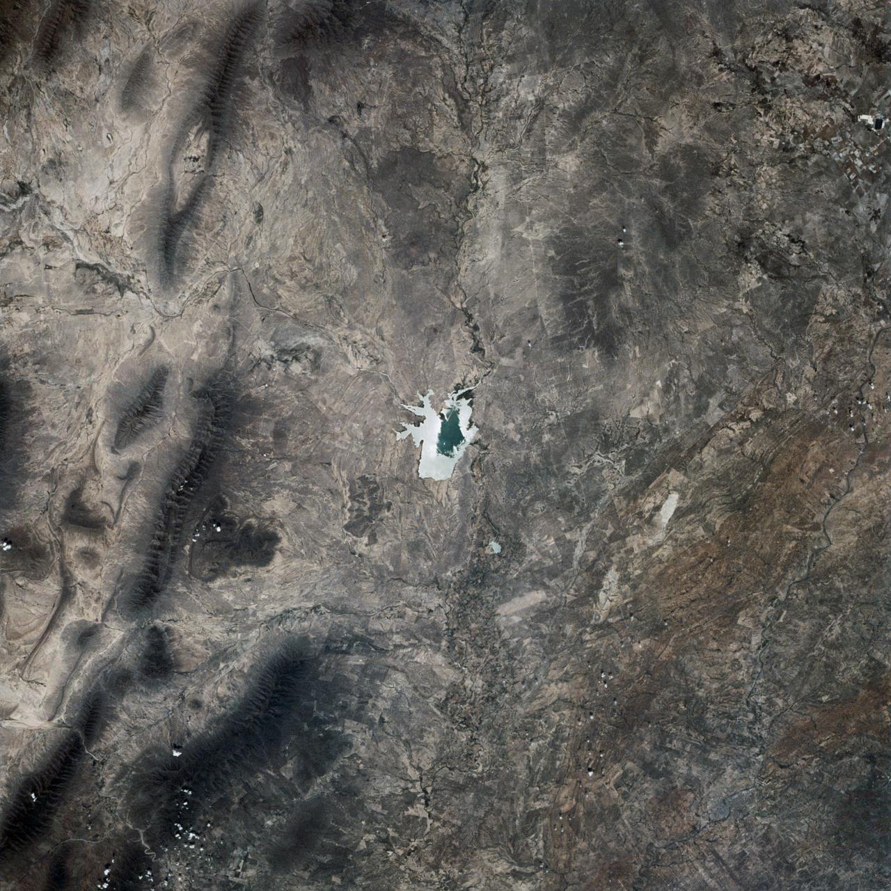
Polarized Light Experiment, Presa Don Martin, Coahuila, Mexico
1989-05-08 · NASA Image and Video Library
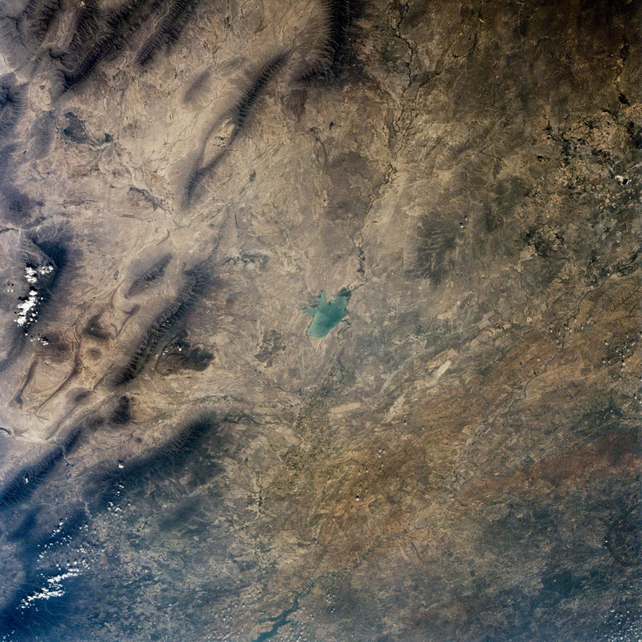
Polarized Light Experiment, Presa Don Martin, Mexico
1989-05-08 · NASA Image and Video Library
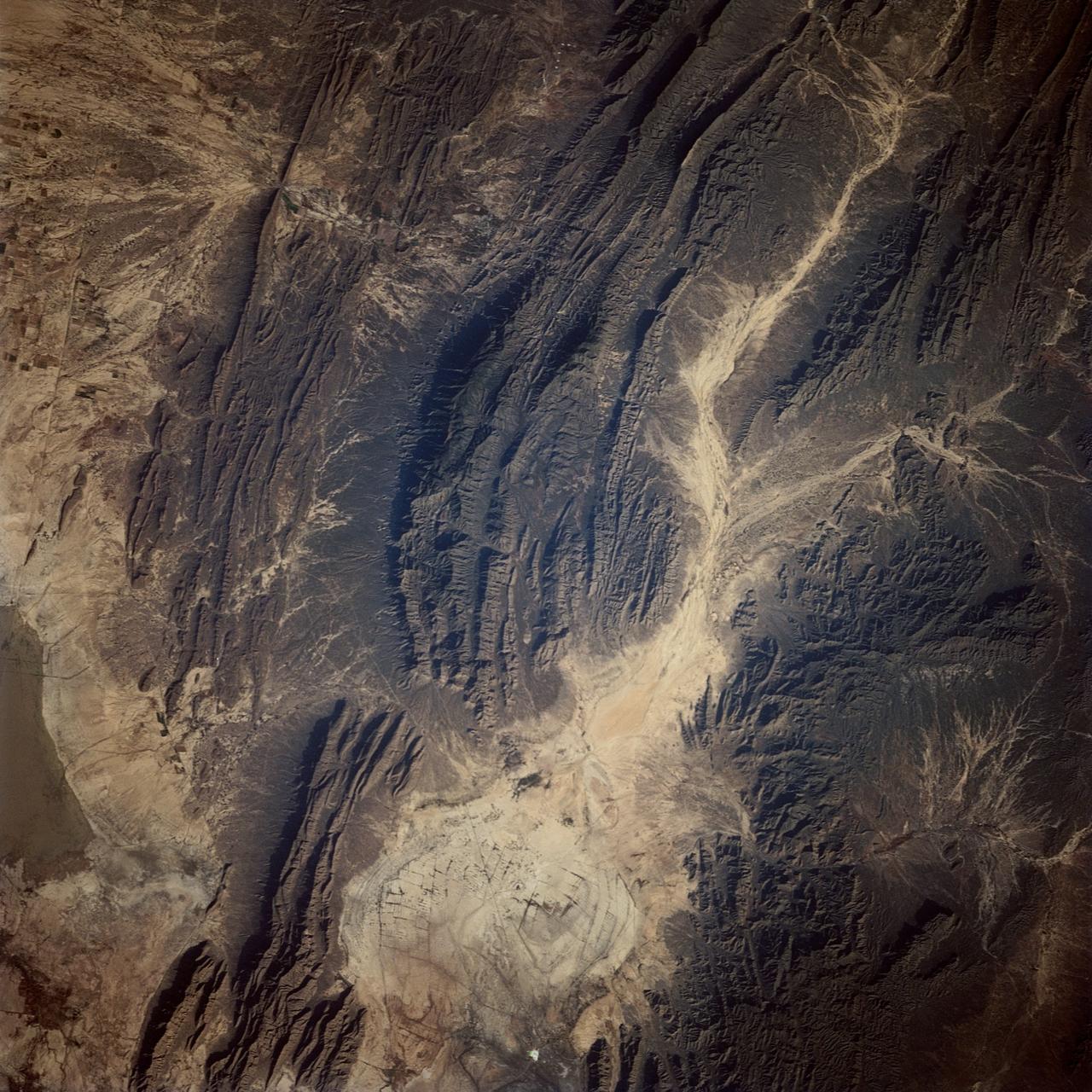
Flash Flood Trail near Parras, Coahuila, Mexico
1991-12-01 · NASA Image and Video Library
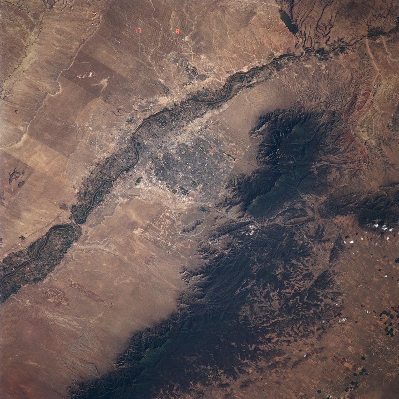
Albuquerque, NM, USA
1991-06-14 · NASA Image and Video Library
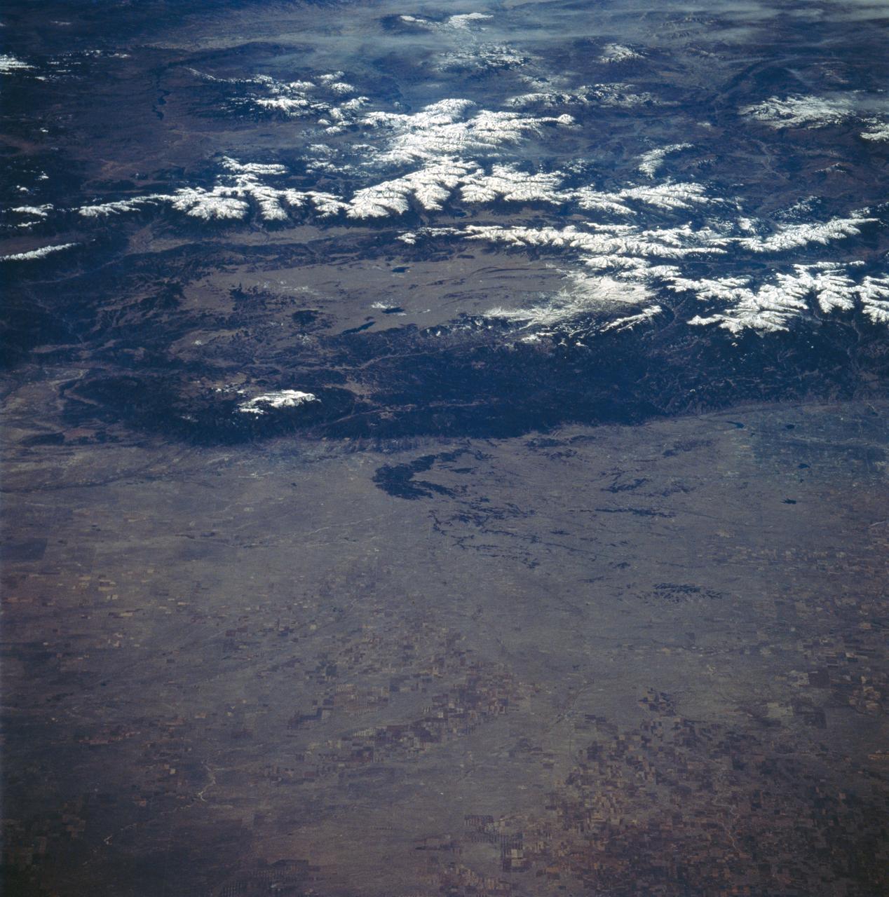
Colorado as seen from STS-58
1993-10-30 · NASA Image and Video Library
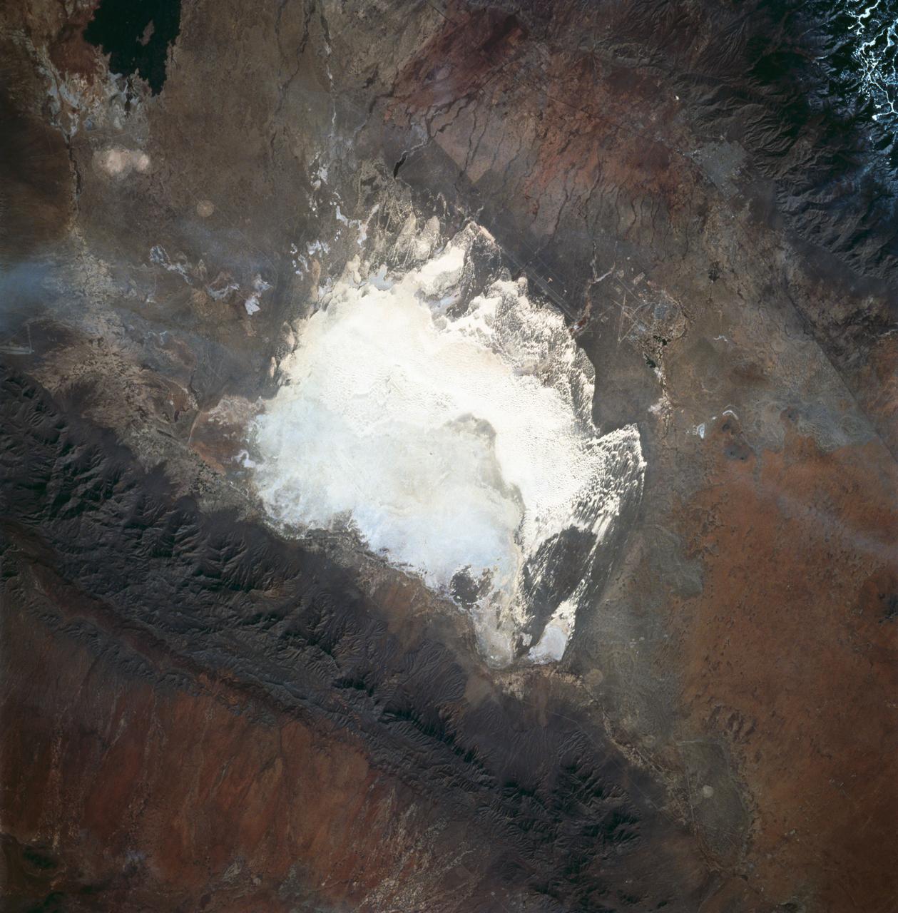
White Sands, New Mexico as seen from STS-60
1994-02-09 · NASA Image and Video Library
Houston/Galveston, Texas, USA
1991-09-18 · NASA Image and Video Library