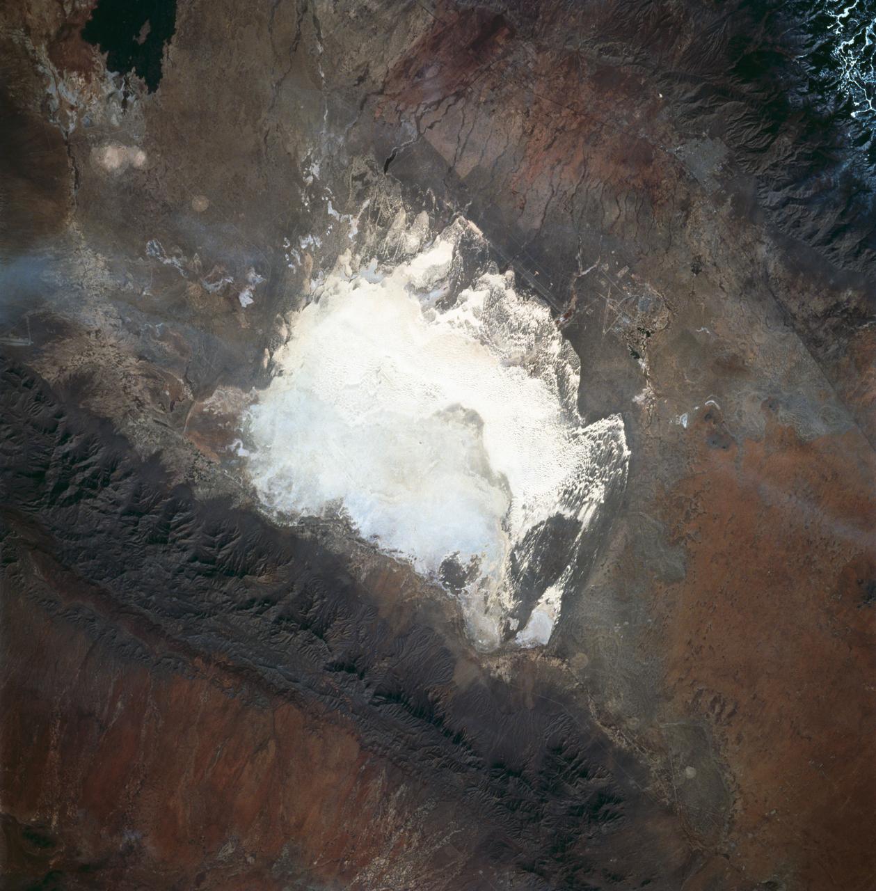
White Sands, New Mexico as seen from STS-60
STS060-83-016 (3-11 Feb 1994) --- White Sands National Monument (Park) is easily recognized in the center of this near-vertical color photograph. White Sands is the world's largest gypsum dune field. It represents an alabaster sea that covers nearly 300 square miles. The National Park Service has the responsibility to preserve this unique feature, allowing the dune world to unfold in its natural environment, but without interference from humans. White Sands lies within a spectacular, oblong geological depression called the Tularosa Basin bounded by the Sacramento Mountains on the east and the San Andres Mountains on the west. Climatically the basin is a true desert, averaging less than 10 inches of rainfall per year. In terms of topographic relief the Sacramento Mountains attain elevations greater than 9,000 feet above sea level, while the San Andres Mountains on the west exceed altitudes of 8,000 feet. At the southwest corner of the White Sands is dry lake, Lucero. This lake is the lowest point in the Tularosa Basin at 3,900 feet. In terms of cultural features the city of Alamogordo (over 20,000 population) and Holloman Air Force Base can be seen with great clarity on this photogr
- Date
- 1994-02-09
- Collection
- JSC
- Archive
- NASA Image and Video Library
- Type
- photograph
Public domainsafest
Reason: a NASA work: not copyrighted in the United States.
Read from: NASA media usage guidelines: NASA material is not copyrighted in the US unless noted; no third-party credit or mark found.
Credit line
"White Sands, New Mexico as seen from STS-60" (1994-02-09). NASA/JSC. Public domain. https://images.nasa.gov/details/sts060-83-016Need photos for a whole script? Add Find Any Photo to Claude and ask for this one by its id: 15224.
More like this
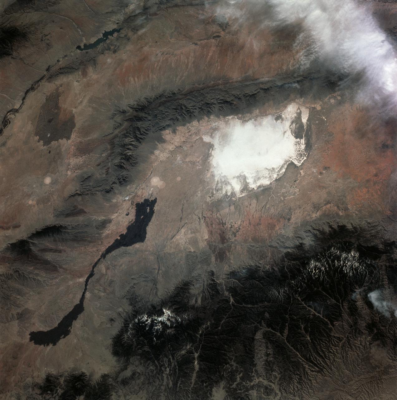
White Sands, Carrizozo Lava Beds, NM
1982-03-30 · NASA Image and Video Library
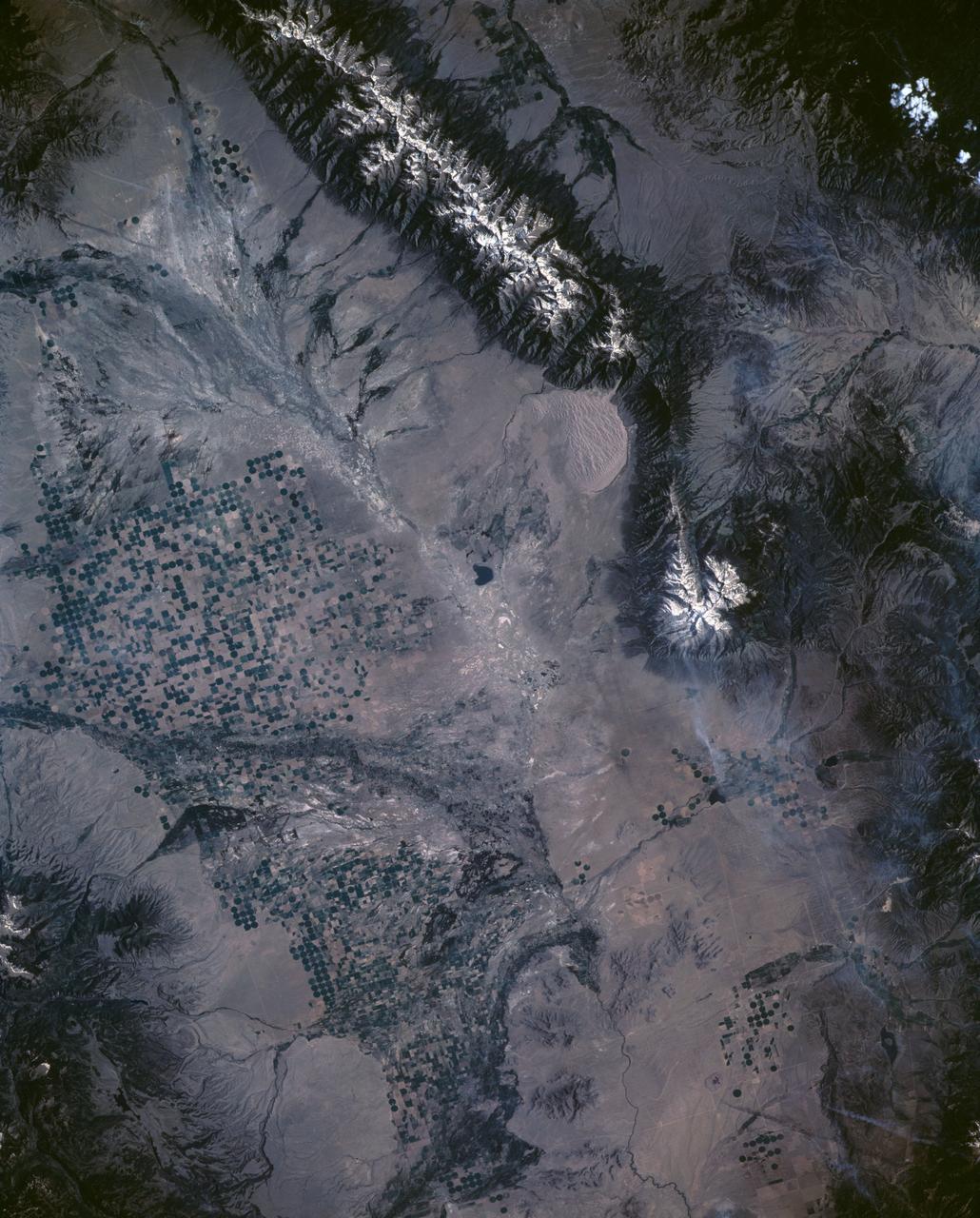
Great Sand Dune National Monument, CO, USA
1991-06-14 · NASA Image and Video Library
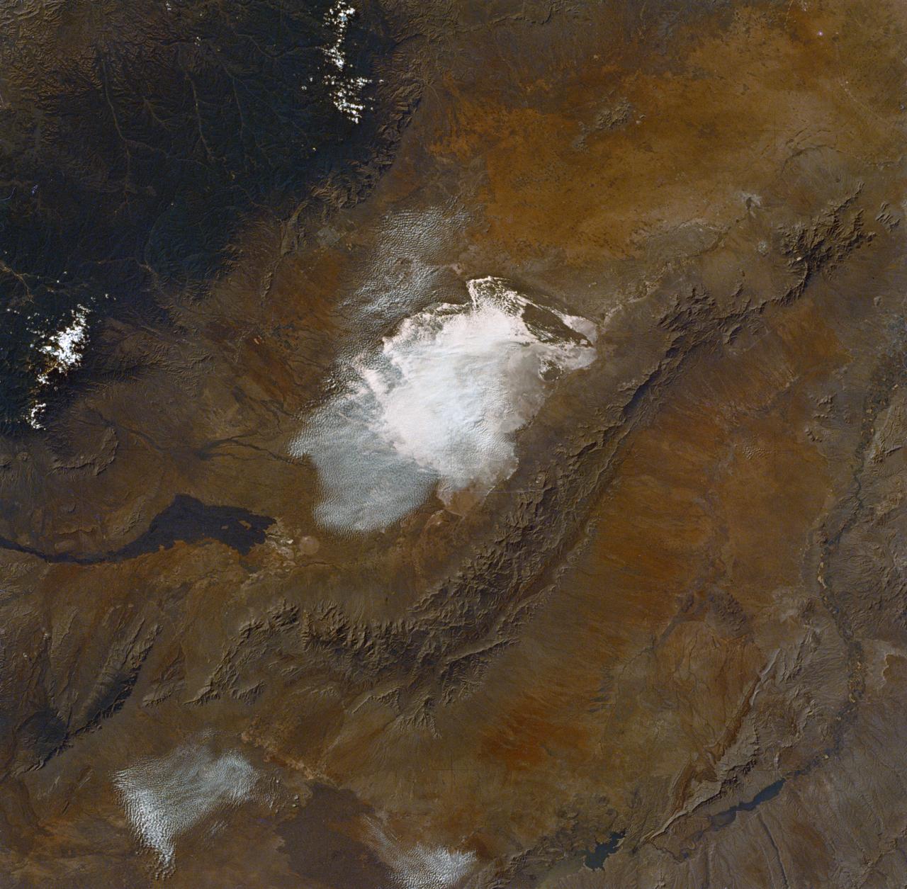
White Sands, Carrizozo Lava Beds, NM
1973-06-22 · NASA Image and Video Library
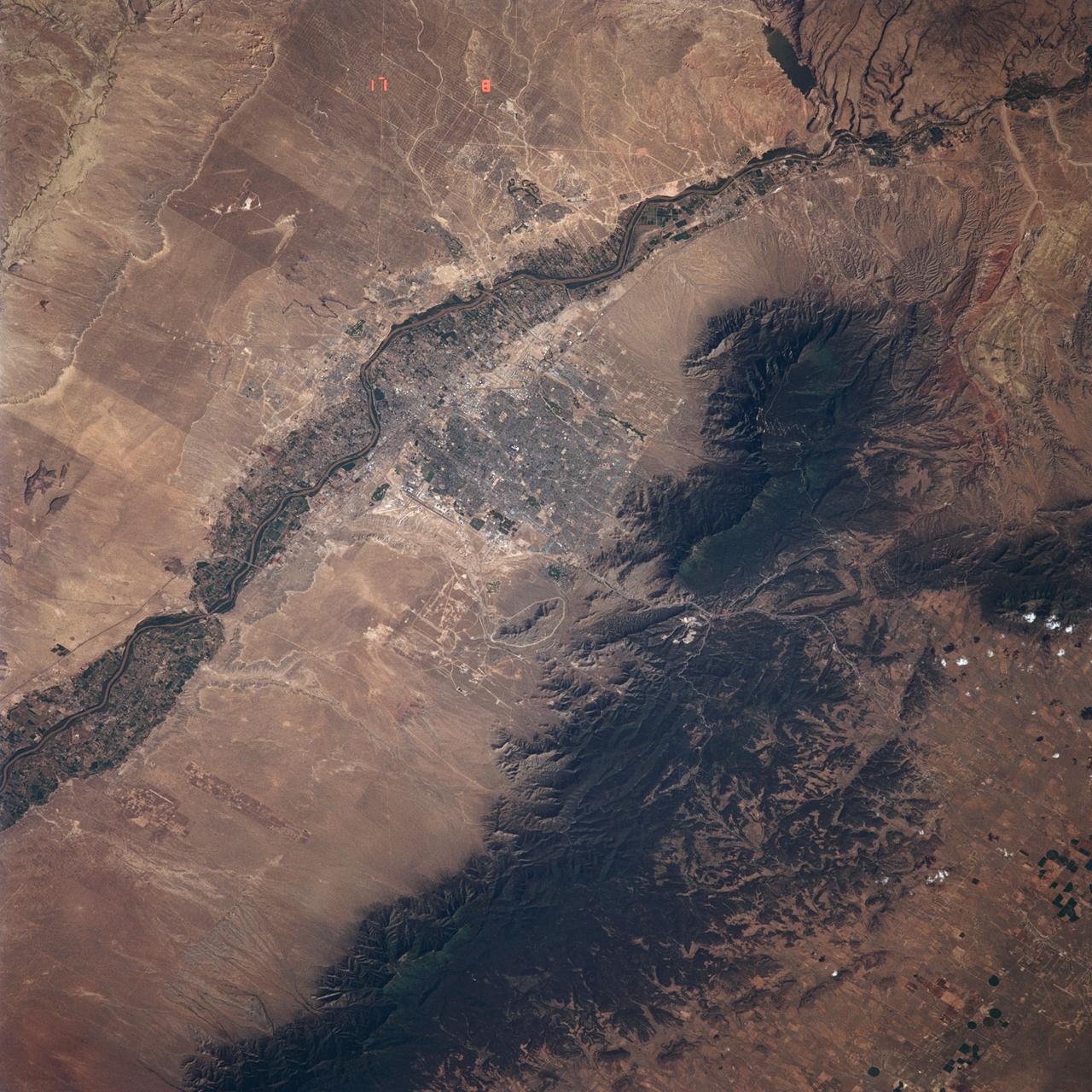
Albuquerque, NM, USA
1991-06-14 · NASA Image and Video Library
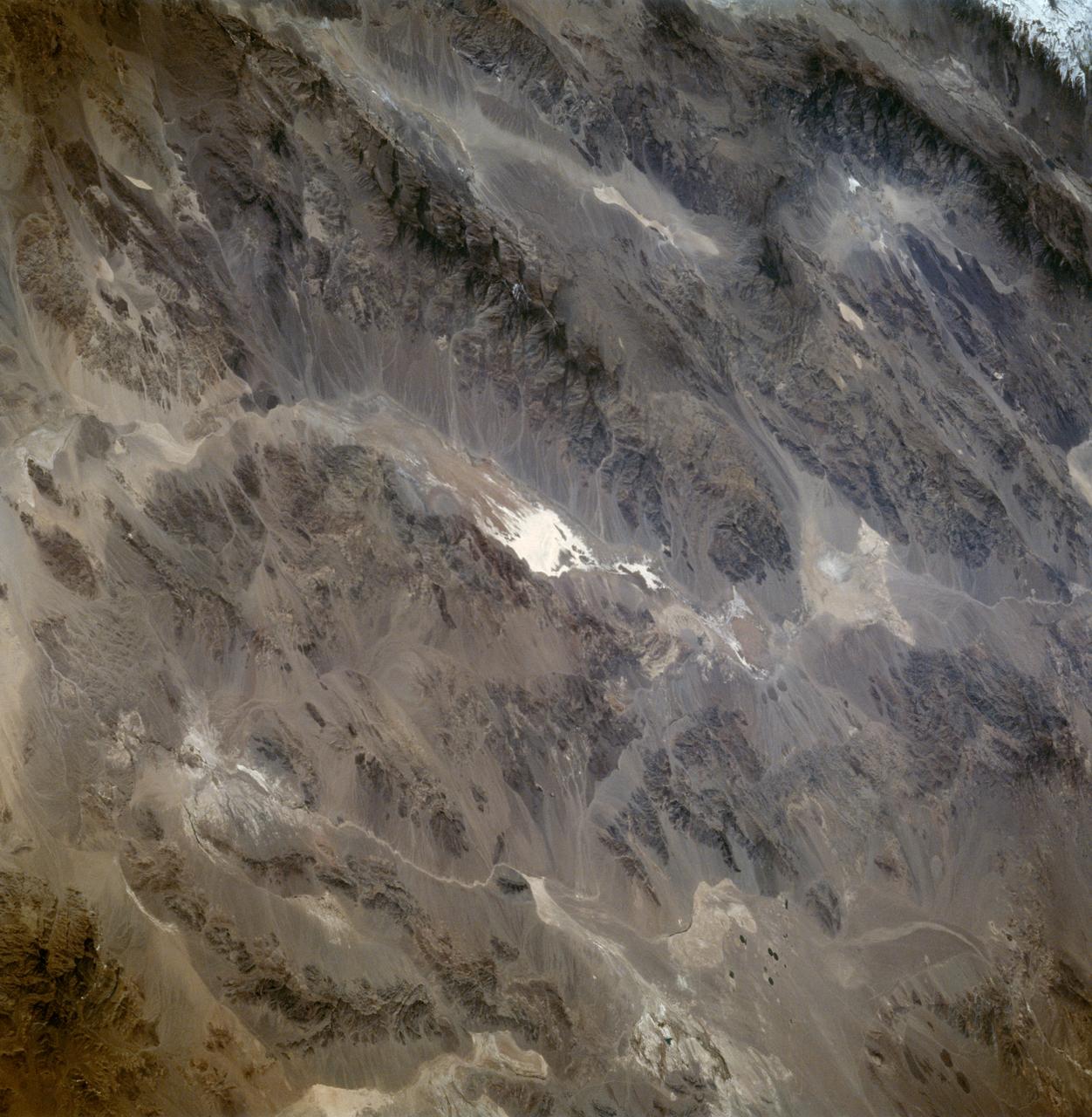
Death Valley California as seen from STS-59
1994-04-13 · NASA Image and Video Library
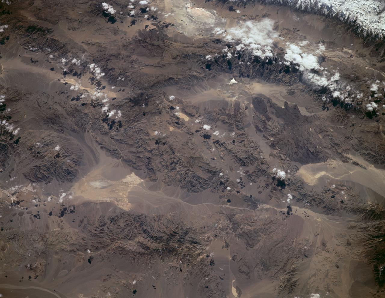
Sierra Nevada, California as seen from STS-59
1994-04-14 · NASA Image and Video Library
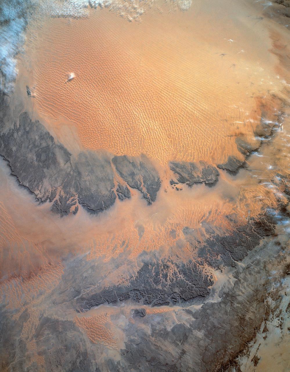
Murzuk Sand Sea, Sahara Desert, Libya, Africa
1993-01-19 · NASA Image and Video Library
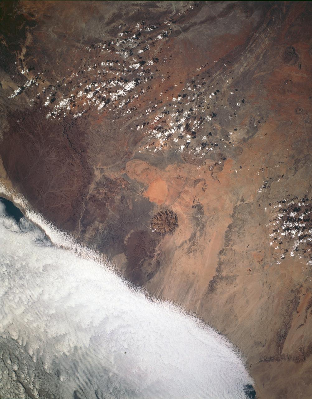
Brandburg Prominance, Namibia, Africa
1993-01-19 · NASA Image and Video Library