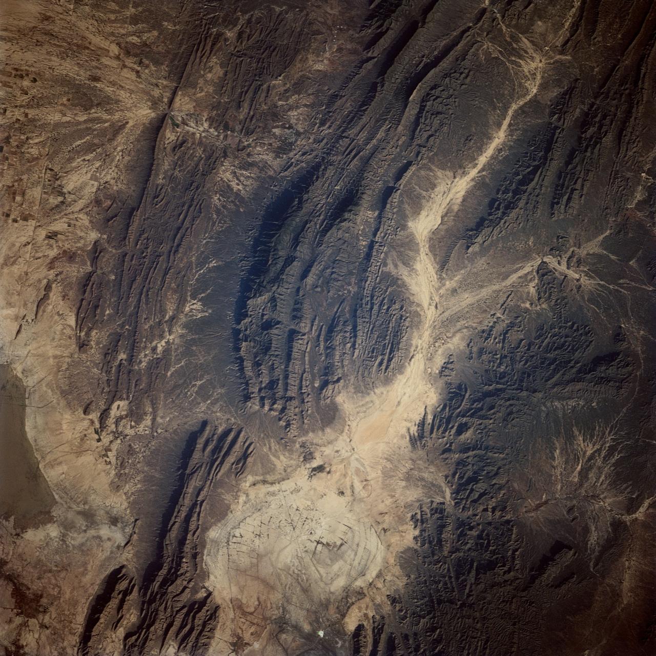
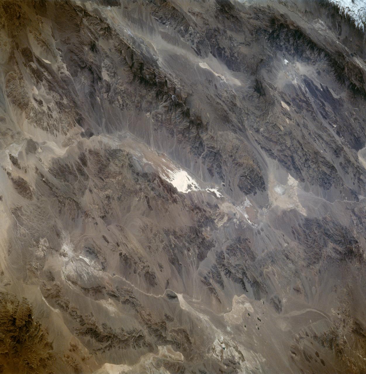
Flash Flood Trail near Parras, Coahuila, Mexico
Evidence of a recent flash flood can be seen in the form of light brown sediment that flowed down gullies and mountain sides forming ponds of debris over agricultural areas in the broad valley near the town of Parras (26.5N, 102.5W). This part of Mexico has extensive vineyards, orchards and both dry land and irrigated agriculture. Based on the photo, it appears that flash flood waters damaged some 300 square miles of property in this area alone.
- Date
- 1991-12-01
- Collection
- JSC
- Archive
- NASA Image and Video Library
- Type
- photograph
Public domainsafest
Reason: a NASA work: not copyrighted in the United States.
Read from: NASA media usage guidelines: NASA material is not copyrighted in the US unless noted; no third-party credit or mark found.
Credit line
"Flash Flood Trail near Parras, Coahuila, Mexico" (1991-12-01). NASA/JSC. Public domain. https://images.nasa.gov/details/s44-81-075Need photos for a whole script? Add Find Any Photo to Claude and ask for this one by its id: 13969.
More like this
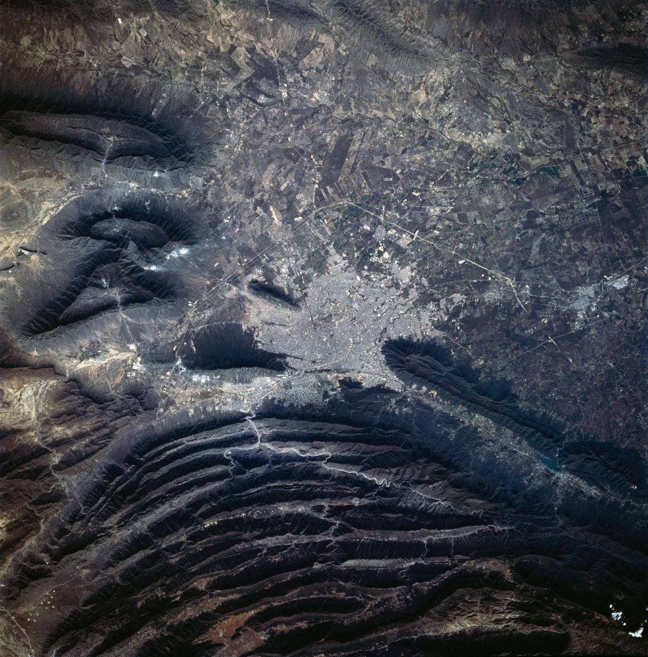
Monterrey, Mexico as seen from STS-60
1994-02-09 · NASA Image and Video Library
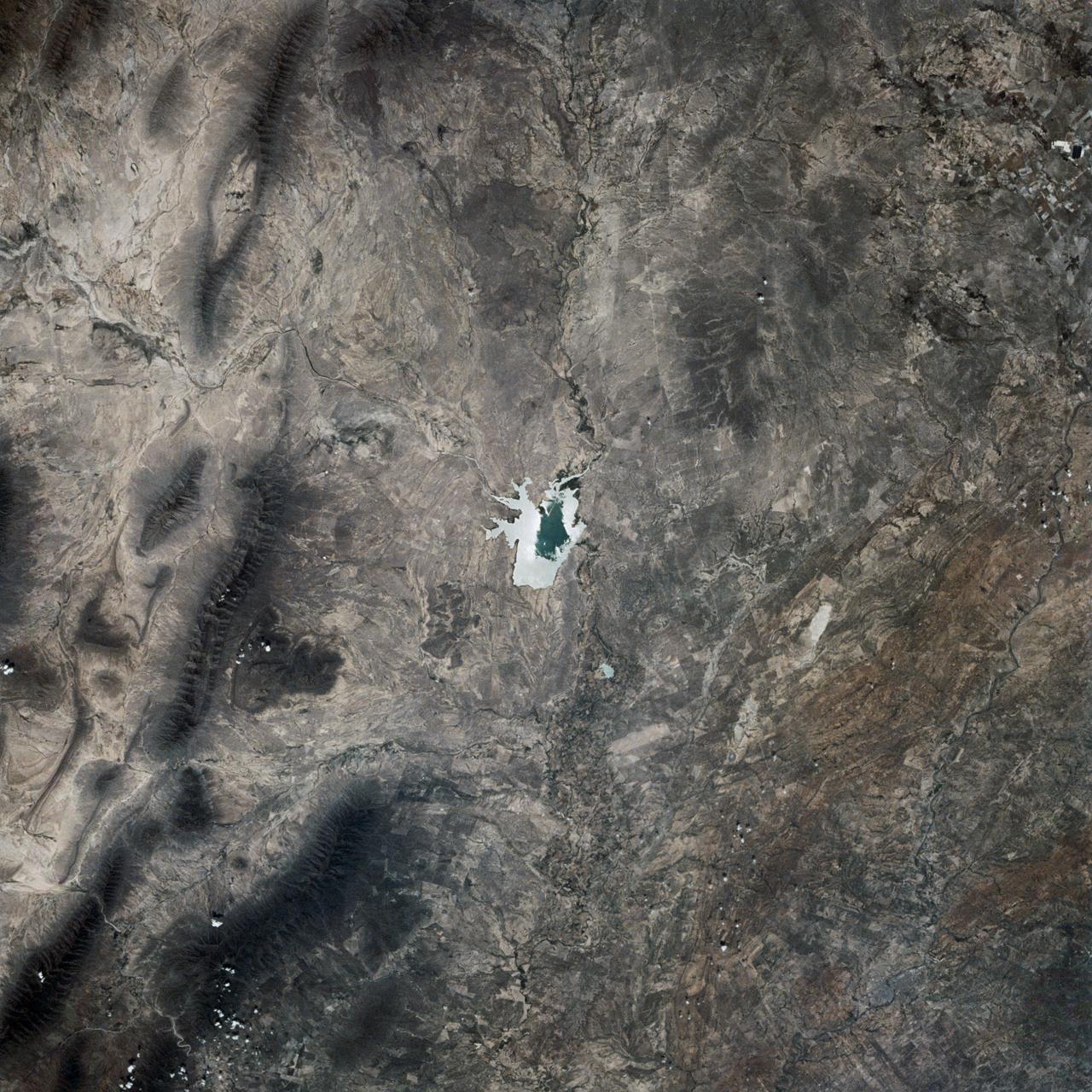
Polarized Light Experiment, Presa Don Martin, Coahuila, Mexico
1989-05-08 · NASA Image and Video Library
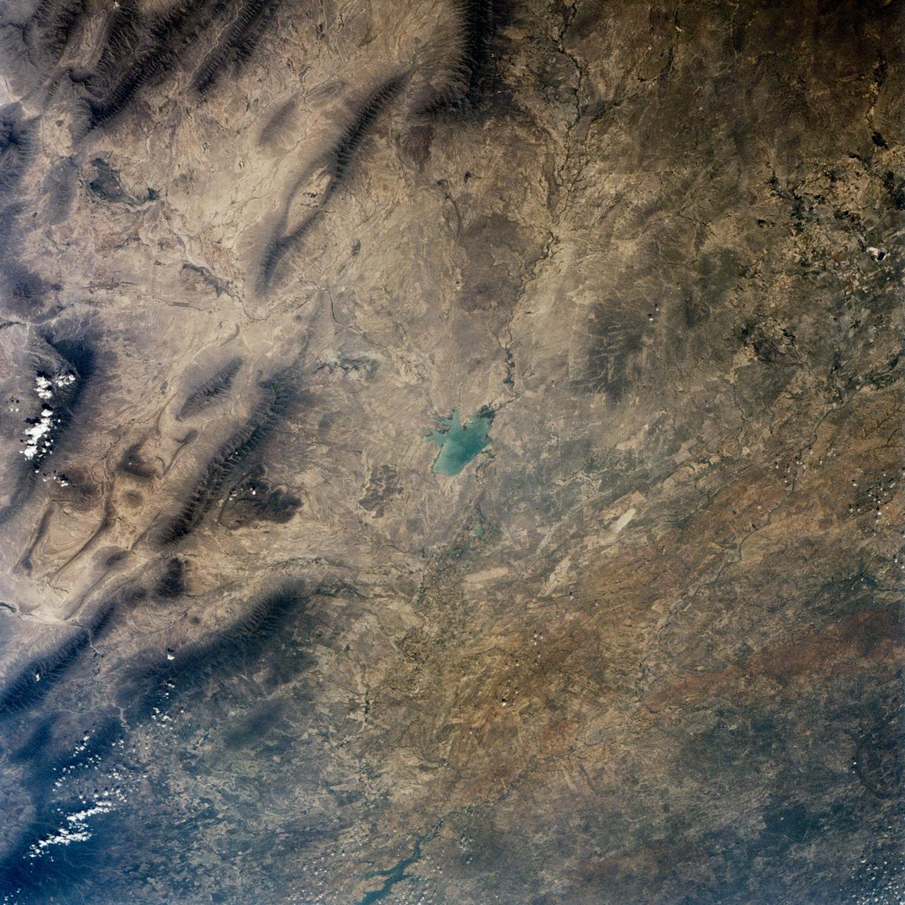
Polarized Light Experiment, Presa Don Martin, Mexico
1989-05-08 · NASA Image and Video Library
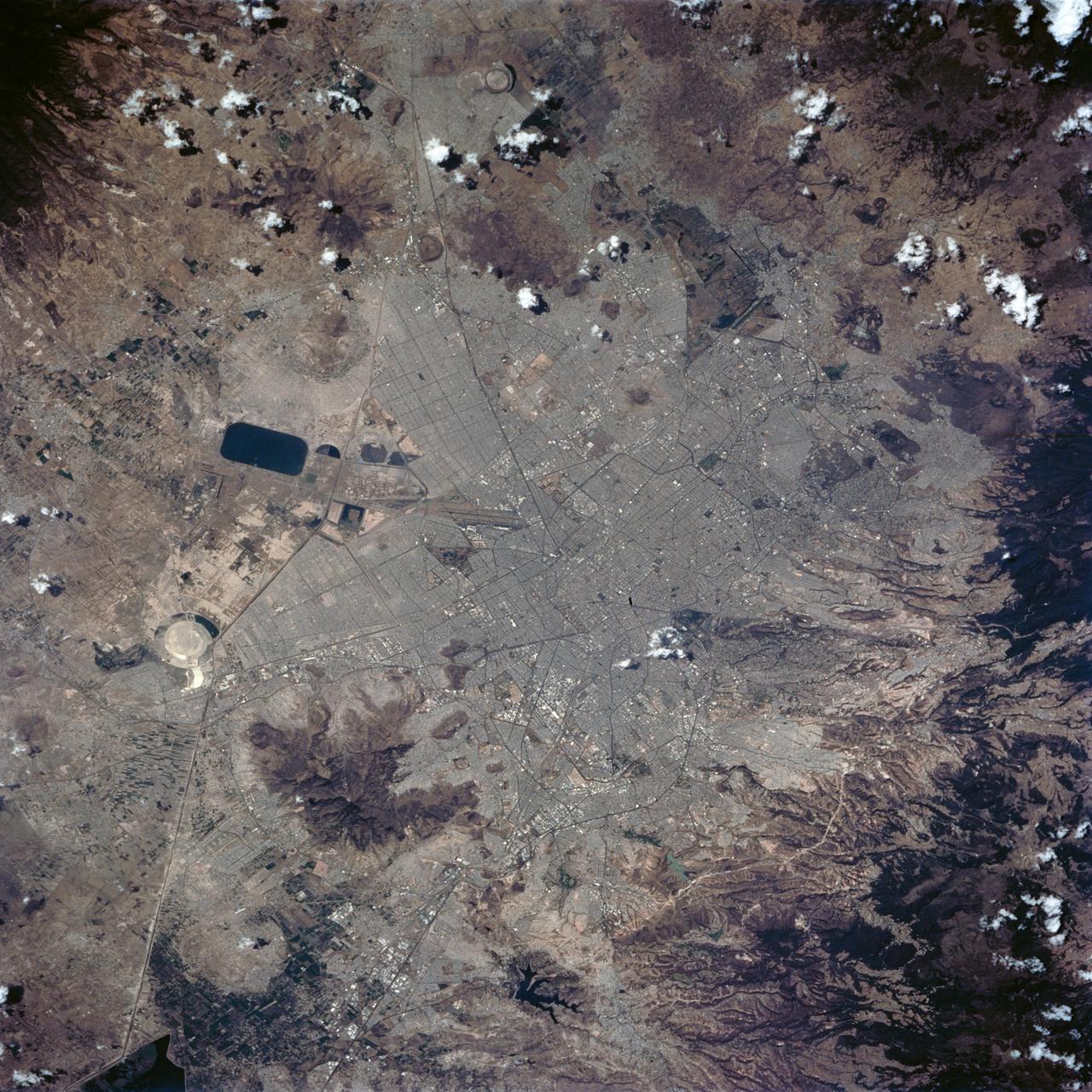
Mexico City, Mexico as seen from STS-62
1994-03-05 · NASA Image and Video Library
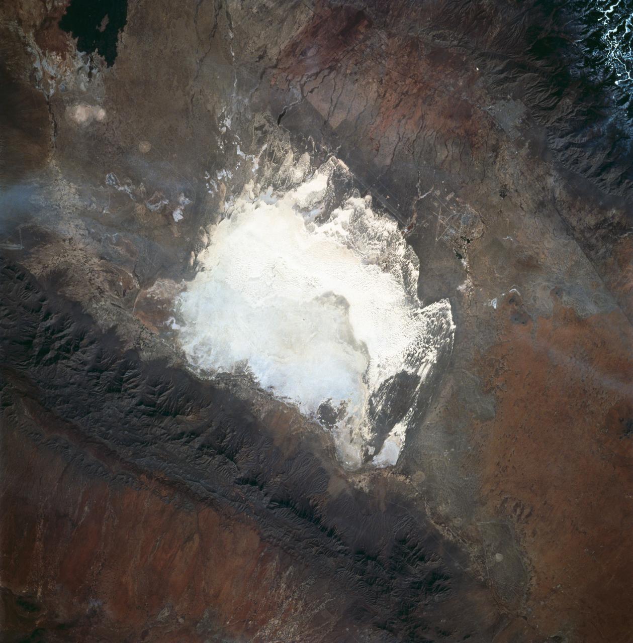
White Sands, New Mexico as seen from STS-60
1994-02-09 · NASA Image and Video Library
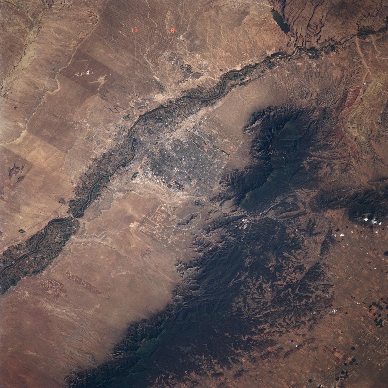
Albuquerque, NM, USA
1991-06-14 · NASA Image and Video Library
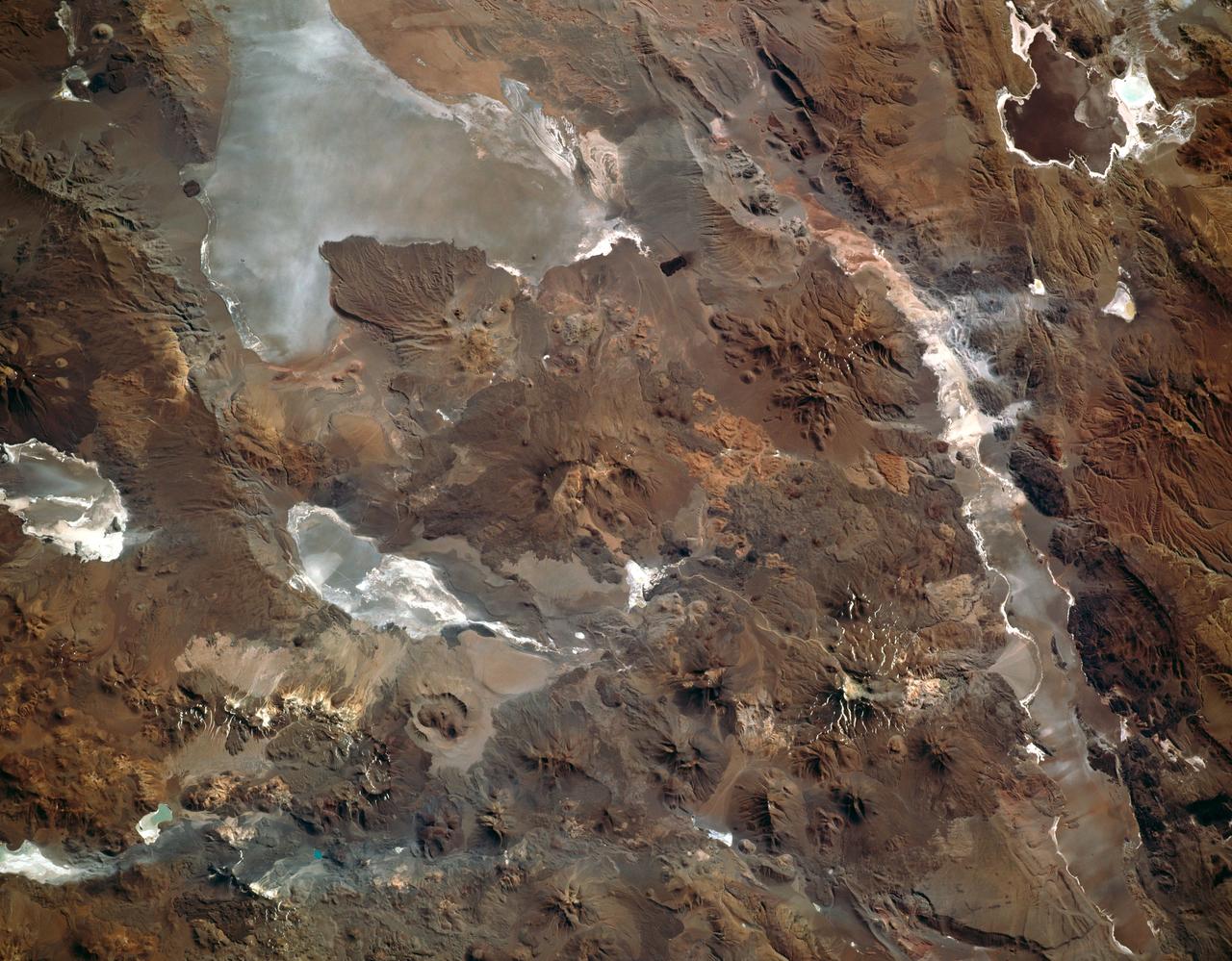
Altiplano of the Central Andes as seen from STS-66 shuttle Atlantis
1994-11-14 · NASA Image and Video Library
Death Valley California as seen from STS-59
1994-04-13 · NASA Image and Video Library