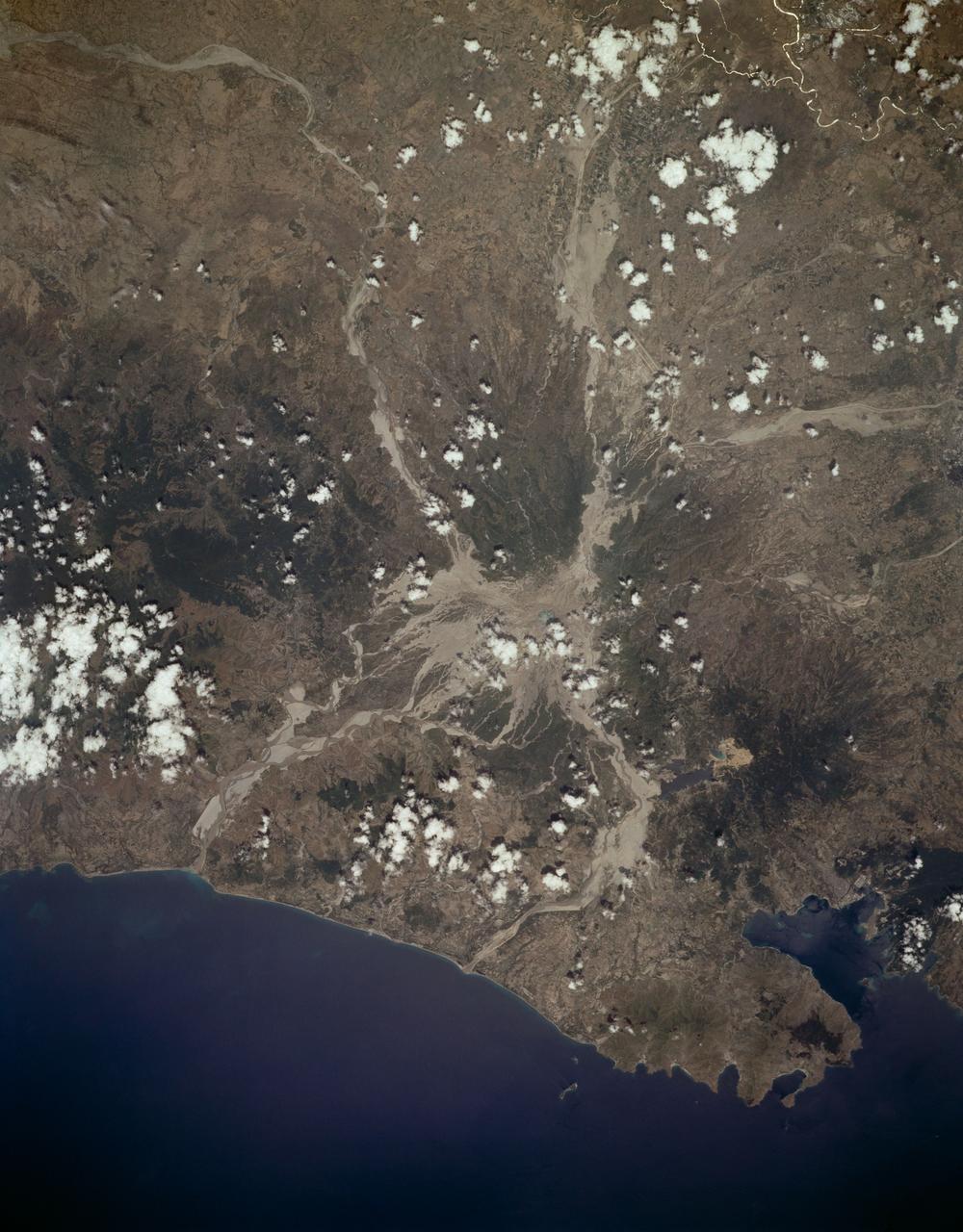
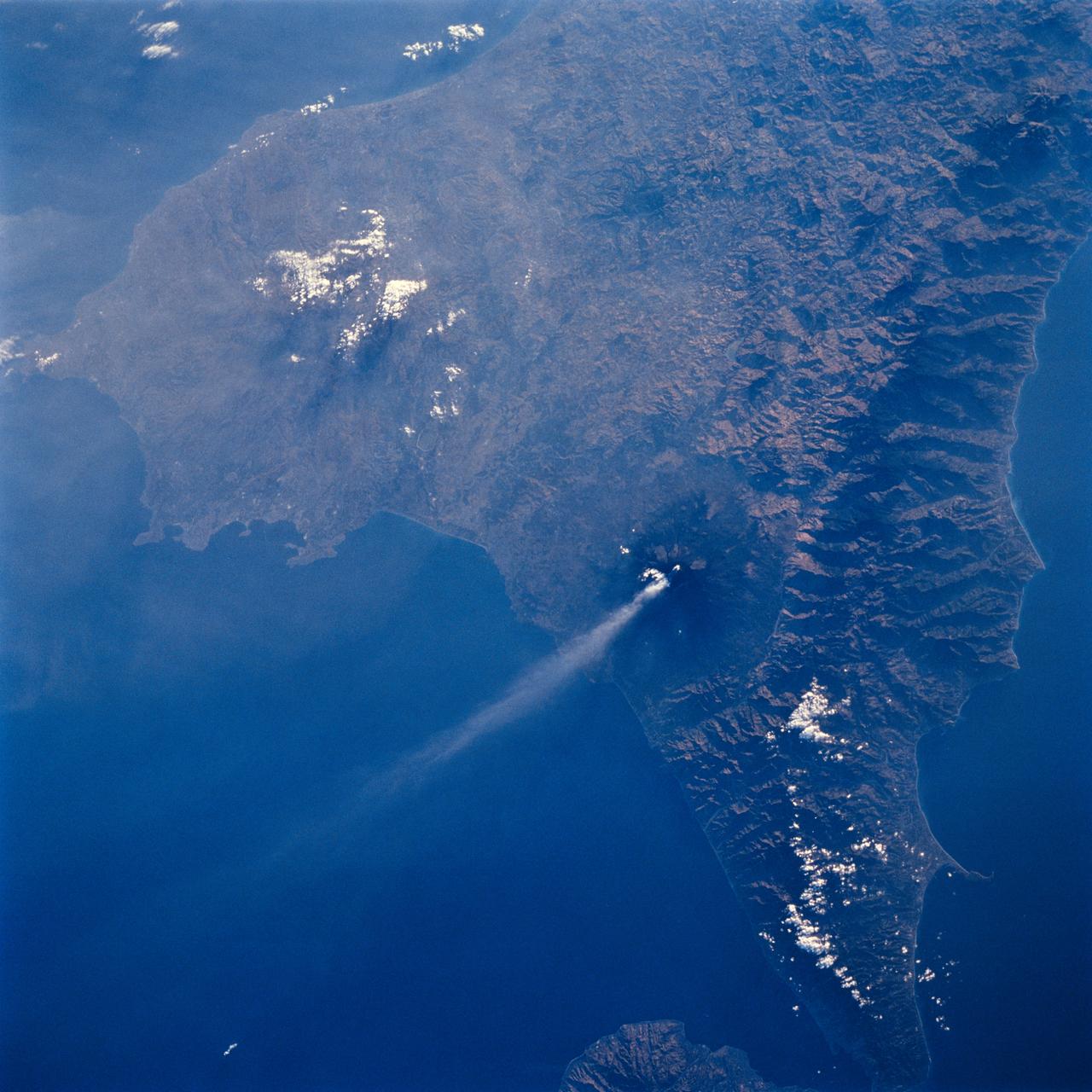
Mount Pinatubo, Philippine Islands as seen from STS-59
STS059-L14-170 (9-20 April 1994) --- Orient with the sea at the left. Then Subic Bay is at the lower left corner, and Clark Air Force Base (abandoned after the eruption) is to the lower right of the volcano. A turquoise lake occupies the caldera just below the center of the photograph. Mount Pinatubo erupted in June, 1991 after several hundred years of quiescence. Eruptive activity has nearly ceased, but every torrential rain in this monsoonal climate causes renewed mud flows of a viscous slurry composed of volcanic ash and pumice. Shuttle crews have been photographing the mountain at every opportunity, to add documentation to unmanned-satellite, aerial, and ground-based observations of changes. SRL scientists will use the excellent radar imagery obtained during STS-59 to help discriminate among different kinds of volcanic material, and to extend their observations to other volcanoes around the world using future, perhaps unmanned, radar satellites. Linhof photograph.
- Date
- 1994-04-10
- Collection
- JSC
- Archive
- NASA Image and Video Library
- Type
- photograph
Public domainsafest
Reason: a NASA work: not copyrighted in the United States.
Read from: NASA media usage guidelines: NASA material is not copyrighted in the US unless noted; no third-party credit or mark found.
Credit line
"Mount Pinatubo, Philippine Islands as seen from STS-59" (1994-04-10). NASA/JSC. Public domain. https://images.nasa.gov/details/sts059-l14-170Need photos for a whole script? Add Find Any Photo to Claude and ask for this one by its id: 15231.
More like this
Mt. Pinatubo Volcano - Post Eruption, Luzon, Philippines
1992-08-08 · NASA Image and Video Library
Earth observations taken from Space Shuttle Columbia during STS-80 mission
1996-11-24 · NASA Image and Video Library
STS-68 radar image: Mt. Pinatubo, Philippines
1994-10-07 · NASA Image and Video Library
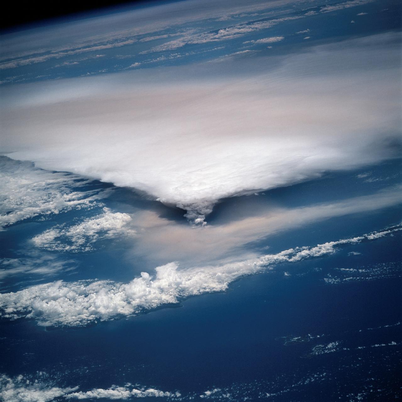
New Guinea volcano (Rabaul) as seen from STS-64
1994-09-29 · NASA Image and Video Library
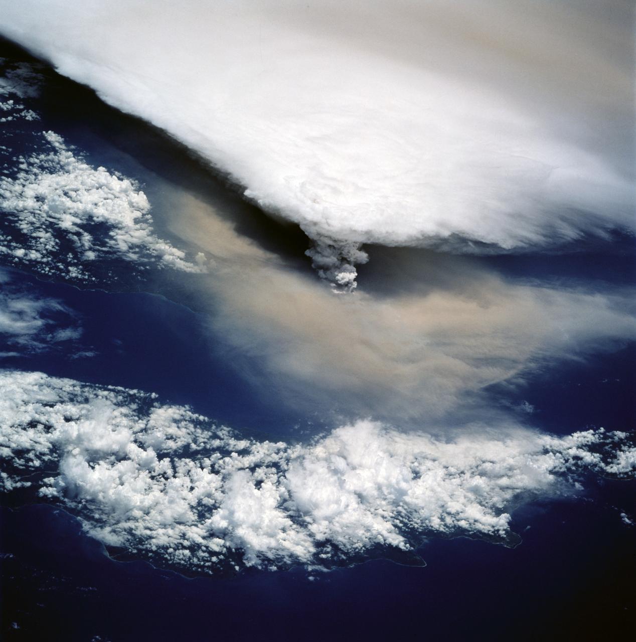
View of New Guinea Volcano as seen from STS-64
1994-09-20 · NASA Image and Video Library
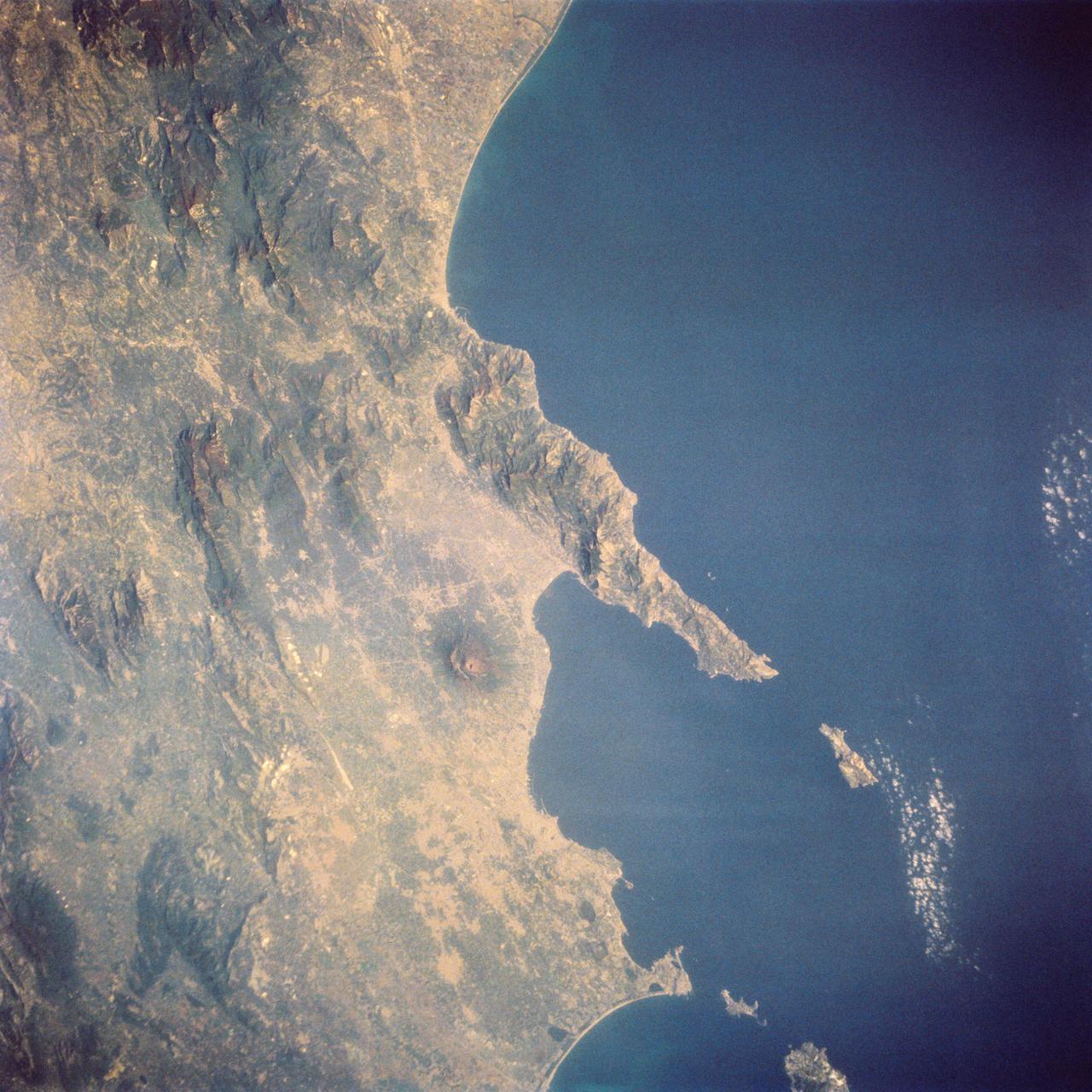
Mt. Vesuvius and Naples, Italy as seen from STS-58
1993-10-20 · NASA Image and Video Library
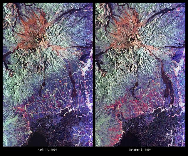
Space Radar Image of Mount Pinatubo Volcano, Philippines
1999-05-01 · NASA Image and Video Library
Mt. Etna, Sicily as seen from STS-64
1994-09-19 · NASA Image and Video Library