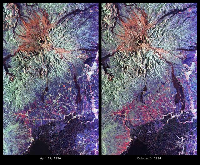
Space Radar Image of Mount Pinatubo Volcano, Philippines
These are color composite radar images showing the area around Mount Pinatubo in the Philippines. The images were acquired by the Spaceborne Imaging Radar-C and X-band Synthetic Aperture Radar (SIR-C/X-SAR) aboard the space shuttle Endeavour on April 14, 1994 (left image) and October 5,1994 (right image). The images are centered at about 15 degrees north latitude and 120.5 degrees east longitude. Both images were obtained with the same viewing geometry. The color composites were made by displaying the L-band (horizontally transmitted and received) in red; the L-band (horizontally transmitted and vertically received) in green; and the C-band (horizontally transmitted and vertically received) in blue. The area shown is approximately 40 kilometers by 65 kilometers (25 miles by 40 miles). The main volcanic crater on Mount Pinatubo produced by the June 1991 eruptions and the steep slopes on the upper flanks of the volcano are easily seen in these images. Red on the high slopes shows the distribution of the ash deposited during the 1991 eruption, which appears red because of the low cross-polarized radar returns at C and L bands. The dark drainages radiating away from the summit are the
- Date
- 1999-05-01
- Photographer / author
- NASA/JPL-Caltech
- Collection
- JPL
- Archive
- NASA Image and Video Library
- Type
- photograph
Public domainsafest
Reason: a NASA work: not copyrighted in the United States.
Read from: NASA media usage guidelines: NASA material is not copyrighted in the US unless noted; no third-party credit or mark found.
Credit line
"Space Radar Image of Mount Pinatubo Volcano, Philippines" (1999-05-01). NASA/JPL/NASA/JPL-Caltech. Public domain. https://images.nasa.gov/details/PIA01743Need photos for a whole script? Add Find Any Photo to Claude and ask for this one by its id: 90991.
More like this
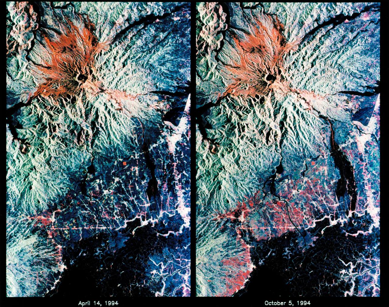
STS-68 radar image: Mt. Pinatubo, Philippines
1994-10-07 · NASA Image and Video Library
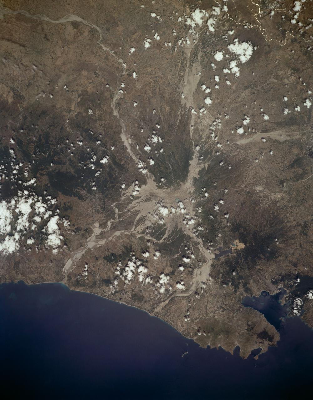
Mount Pinatubo, Philippine Islands as seen from STS-59
1994-04-10 · NASA Image and Video Library

Space Radar Image of Taal Volcano, Philippines
1999-05-01 · NASA Image and Video Library
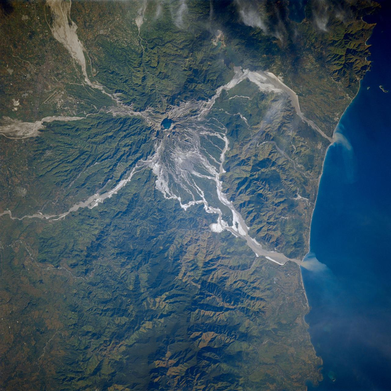
Earth observations taken from Space Shuttle Columbia during STS-80 mission
1996-11-24 · NASA Image and Video Library
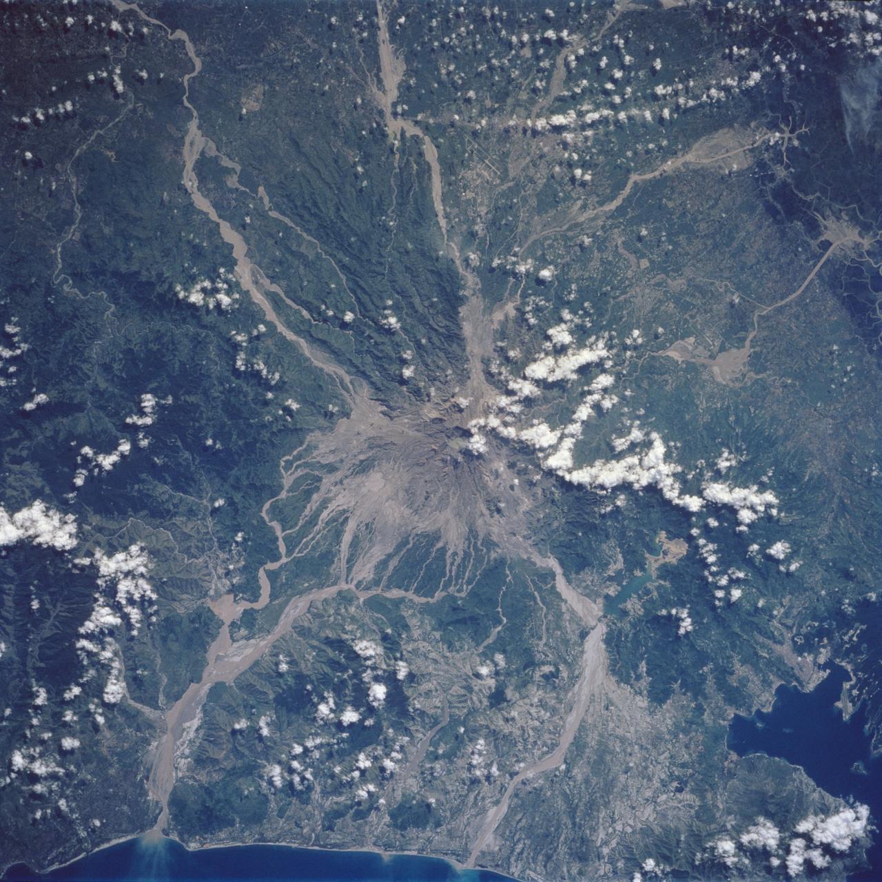
Mt. Pinatubo Volcano - Post Eruption, Luzon, Philippines
1992-08-08 · NASA Image and Video Library

Color composite C-band and L-band image of Kilauea volcanoe on Hawaii
1994-04-15 · NASA Image and Video Library
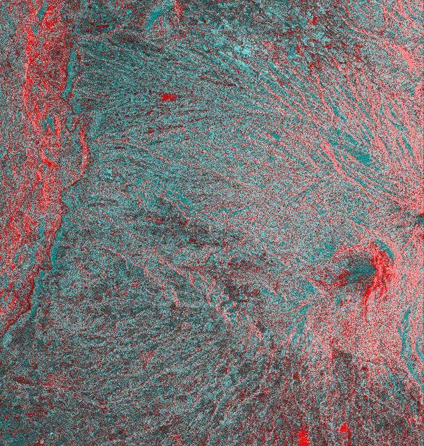
Space Radar Image of Colima Volcano, Jalisco, Mexico
1999-05-01 · NASA Image and Video Library
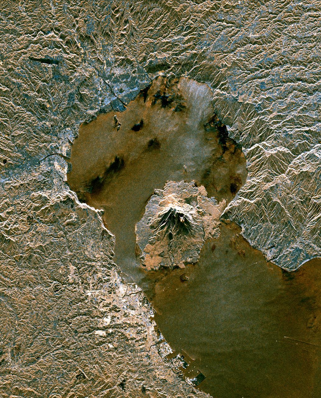
Space Radar Image of Sakura-Jima Volcano, Japan
1999-04-15 · NASA Image and Video Library