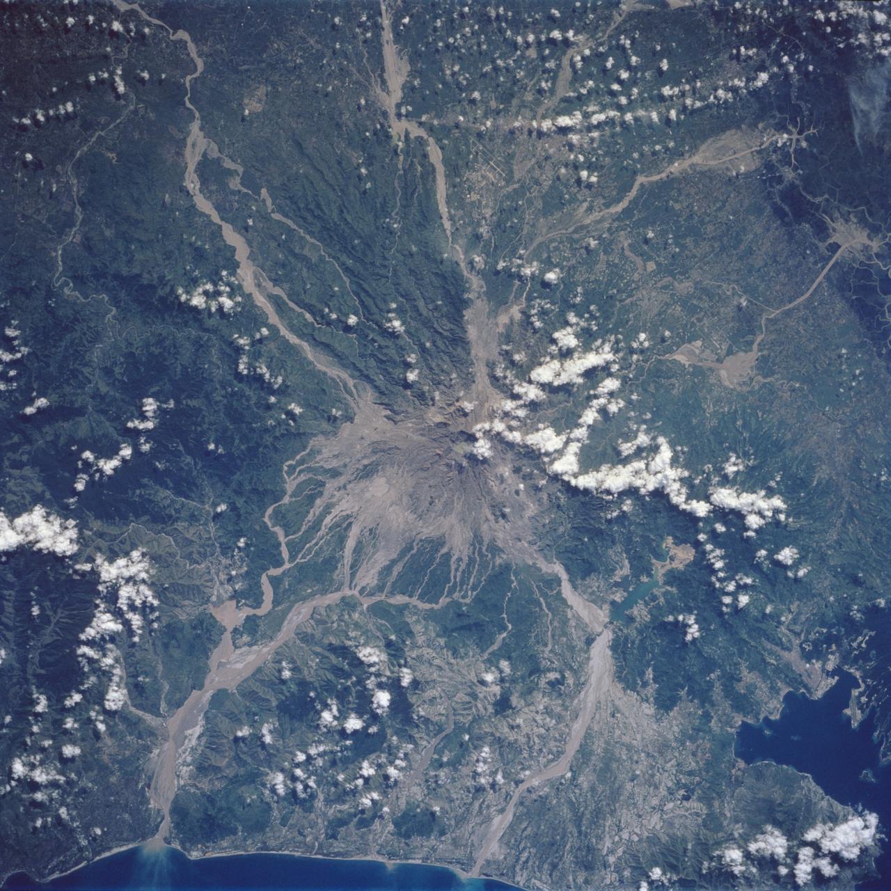
Mt. Pinatubo Volcano - Post Eruption, Luzon, Philippines
Mt. Pinatubo on the island of Luzon (15.0N, 120.0E) erupted catastrophically in June 1991 after over 600 years of inactivity. In this vertical view, the full extent of the eruption is obvious. Thick layers of ash completely surrounds the crater and the effect of mudflows in this previously heavily forested and agricultural region can be traced as ribbons flowing downhill. Clark AFB, once the crossroads of the SW Pacific can only partially be seen.
- Date
- 1992-08-08
- Collection
- JSC
- Archive
- NASA Image and Video Library
- Type
- photograph
Public domainsafest
Reason: a NASA work: not copyrighted in the United States.
Read from: NASA media usage guidelines: NASA material is not copyrighted in the US unless noted; no third-party credit or mark found.
Credit line
"Mt. Pinatubo Volcano - Post Eruption, Luzon, Philippines" (1992-08-08). NASA/JSC. Public domain. https://images.nasa.gov/details/sts046-75-79aNeed photos for a whole script? Add Find Any Photo to Claude and ask for this one by its id: 15365.
More like this
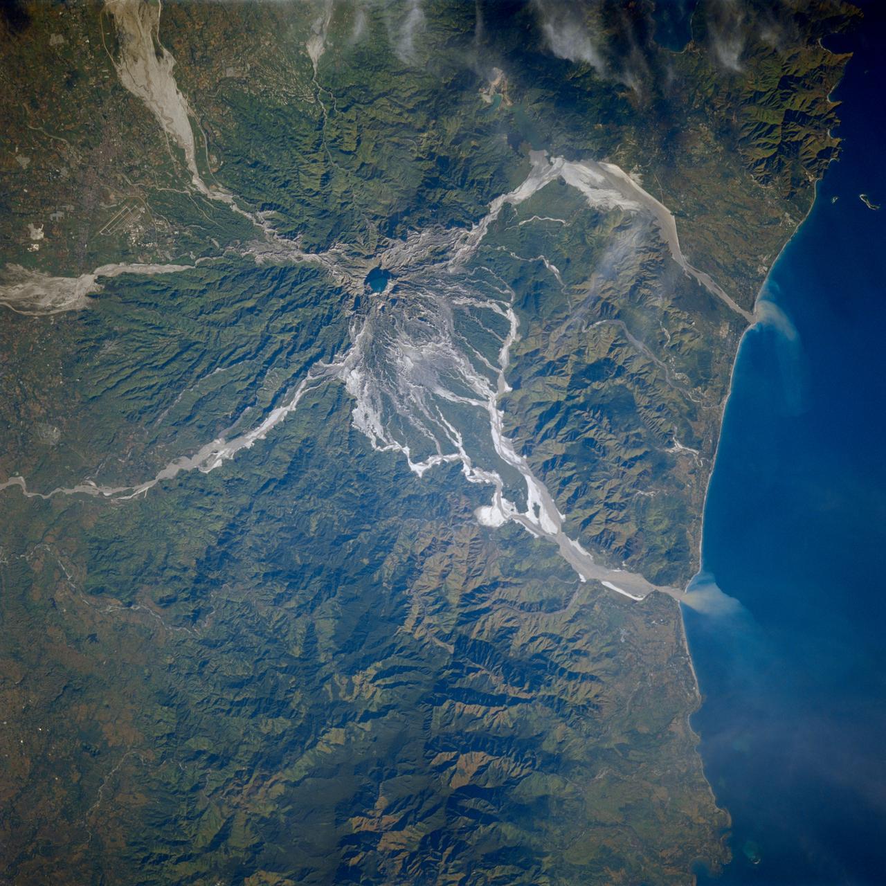
Earth observations taken from Space Shuttle Columbia during STS-80 mission
1996-11-24 · NASA Image and Video Library
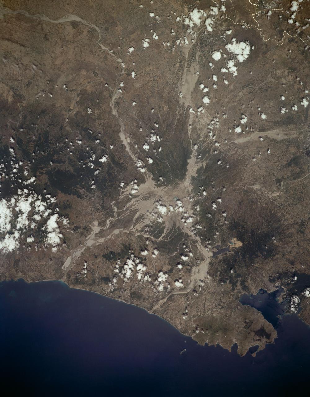
Mount Pinatubo, Philippine Islands as seen from STS-59
1994-04-10 · NASA Image and Video Library
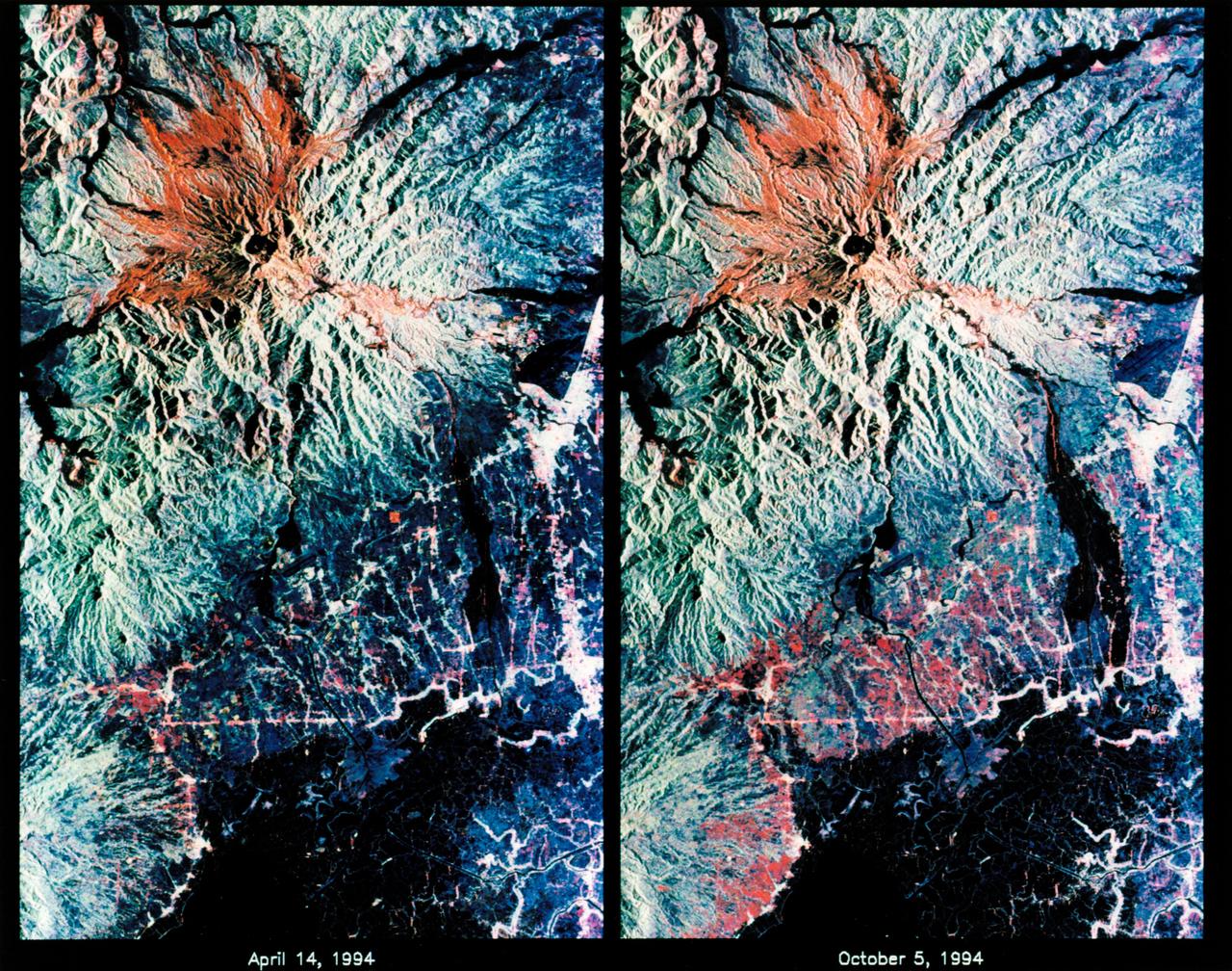
STS-68 radar image: Mt. Pinatubo, Philippines
1994-10-07 · NASA Image and Video Library
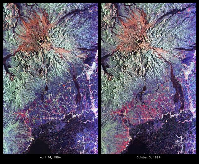
Space Radar Image of Mount Pinatubo Volcano, Philippines
1999-05-01 · NASA Image and Video Library
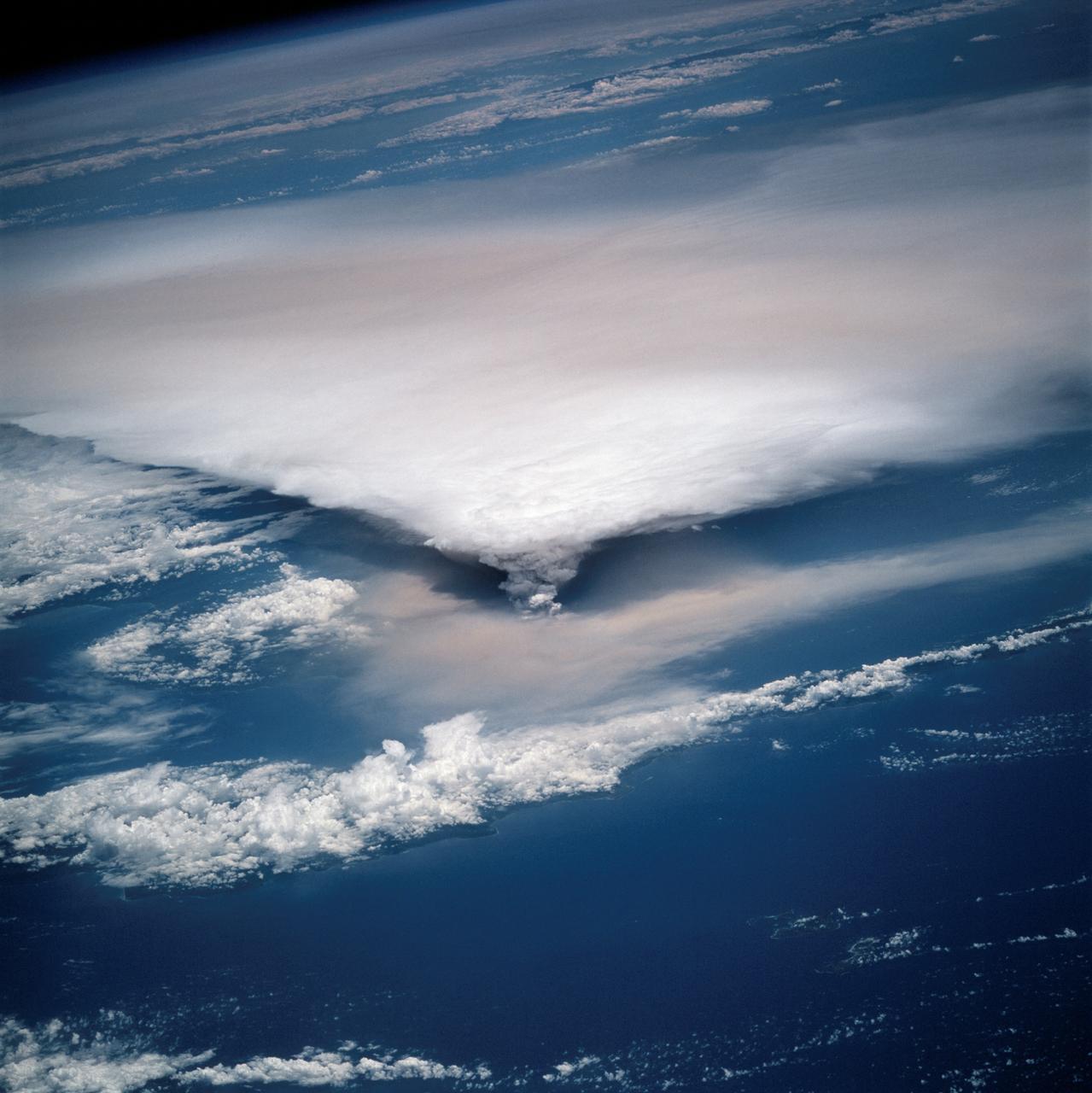
New Guinea volcano (Rabaul) as seen from STS-64
1994-09-29 · NASA Image and Video Library
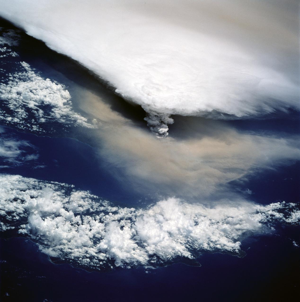
View of New Guinea Volcano as seen from STS-64
1994-09-20 · NASA Image and Video Library
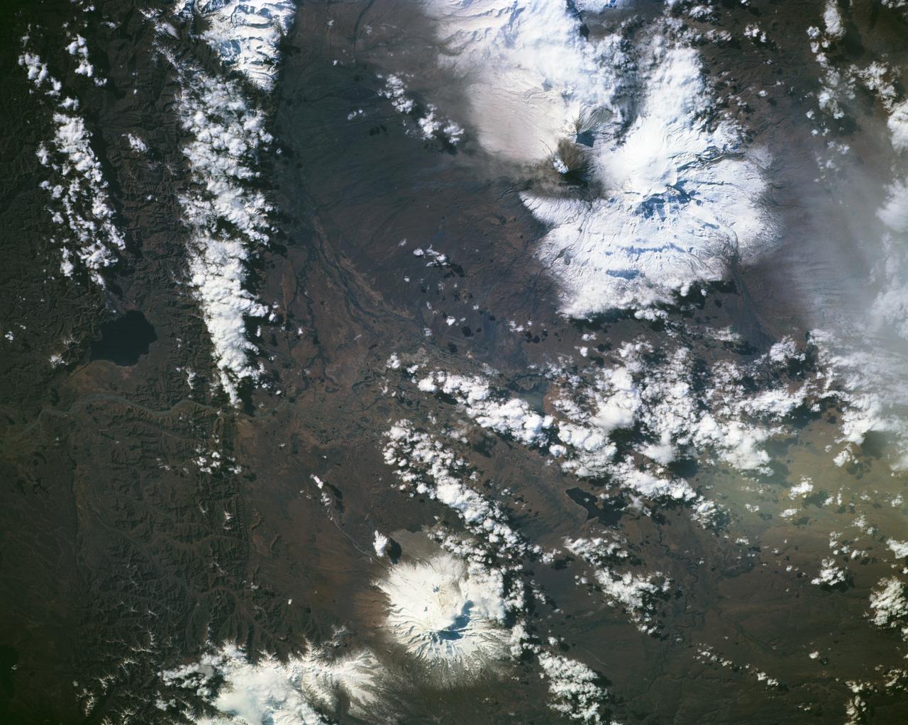
Eruption of Kliuchevskoi volcano
1994-10-05 · NASA Image and Video Library

Space Radar Image of Taal Volcano, Philippines
1999-05-01 · NASA Image and Video Library