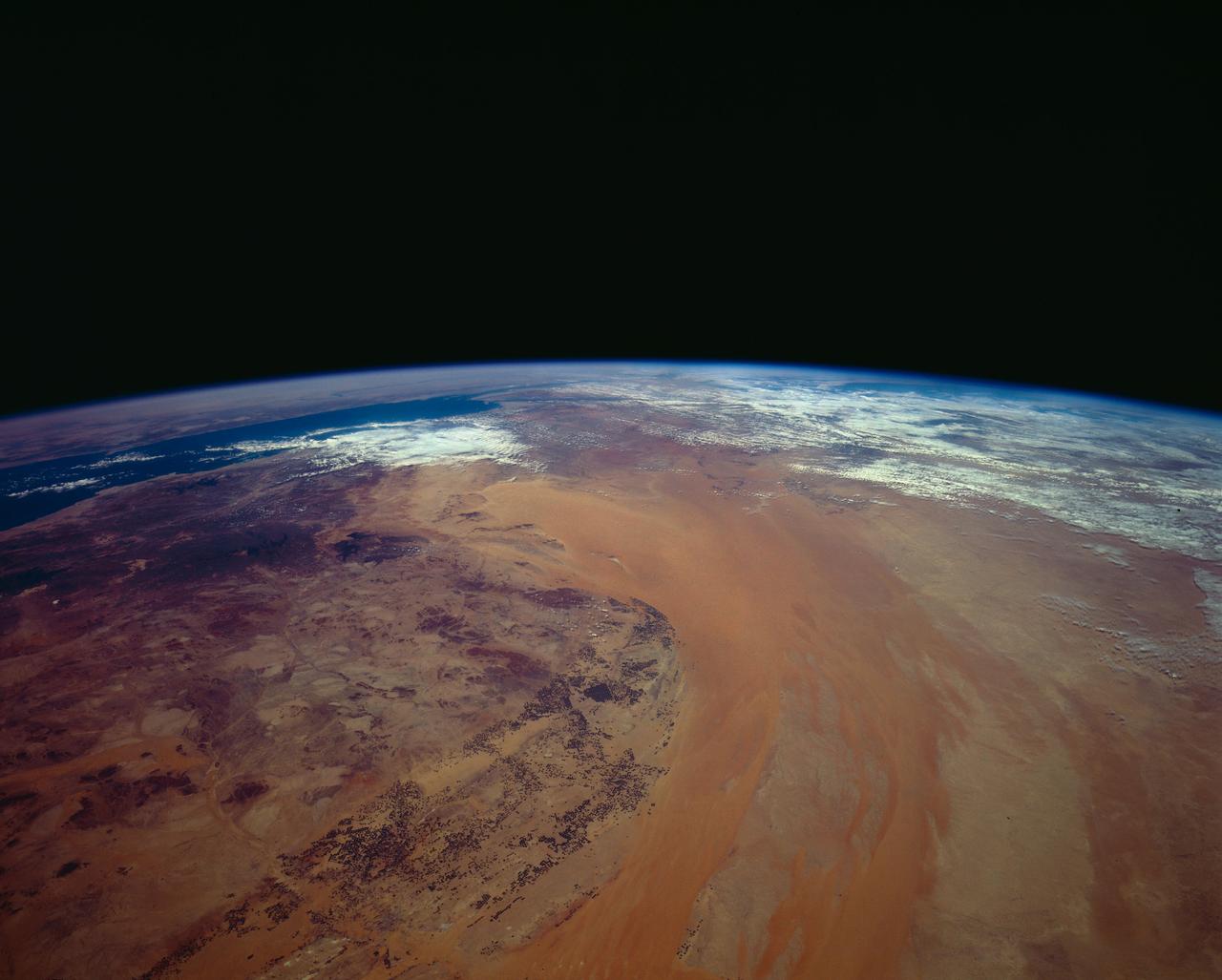
Northern Saudi Arabia as seen from STS-62
STS062-151-220 (4-18 March 1994) --- Great numbers of circular, center-pivot irrigation plots appear in this west-looking view of the northern Saudi Arabia (center to lower left). So many plots now exist that the face of Saudi Arabia as seen from low earth orbit has changed. Until a few years ago, there were only a few scattered center-pivots. Now the entire swath of country between the shifting sands of the Ad Dahna Sand Sea (light colors center and right) and the almost soilless Nejd Plateau (left) has been darkened by thousands of these agricultural fields. The Nejd Plateau is a mass of dark rocks, some volcanic, in NW Saudi Arabia. Water from this higher country flows east towards the agricultural region where it is pumped up from underground aquifers. The weep of the Ad Dahna Sand Sea is one of the major features of Saudi Arabia (center and right) as seen from the orbiter. The dunes follow the trend of regional winds (northwesterly in the center of the view) which circulate around the Nejd plateau. The north end of the Red Sea can be seen top left with the Sinai Peninsula and Mediterranean are just visible center top. Iraq is under cloud top right.
- Date
- 1994-03-05
- Collection
- JSC
- Archive
- NASA Image and Video Library
- Type
- photograph
Public domainsafest
Reason: a NASA work: not copyrighted in the United States.
Read from: NASA media usage guidelines: NASA material is not copyrighted in the US unless noted; no third-party credit or mark found.
Credit line
"Northern Saudi Arabia as seen from STS-62" (1994-03-05). NASA/JSC. Public domain. https://images.nasa.gov/details/sts062-151-220Need photos for a whole script? Add Find Any Photo to Claude and ask for this one by its id: 15407.
More like this
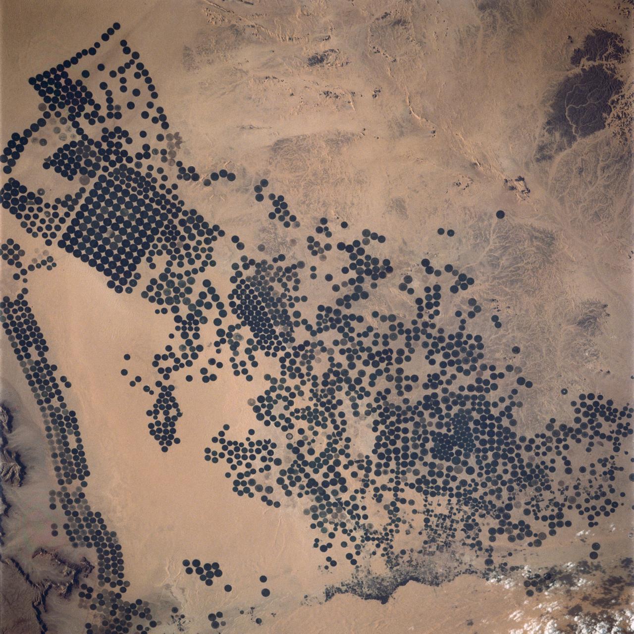
Irrigated Agriculture, Saudi Arabia
1990-01-20 · NASA Image and Video Library
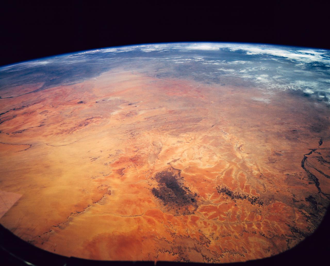
Sahara Desert, Sudan, Northeast Africa as seen from STS-62
1994-03-05 · NASA Image and Video Library
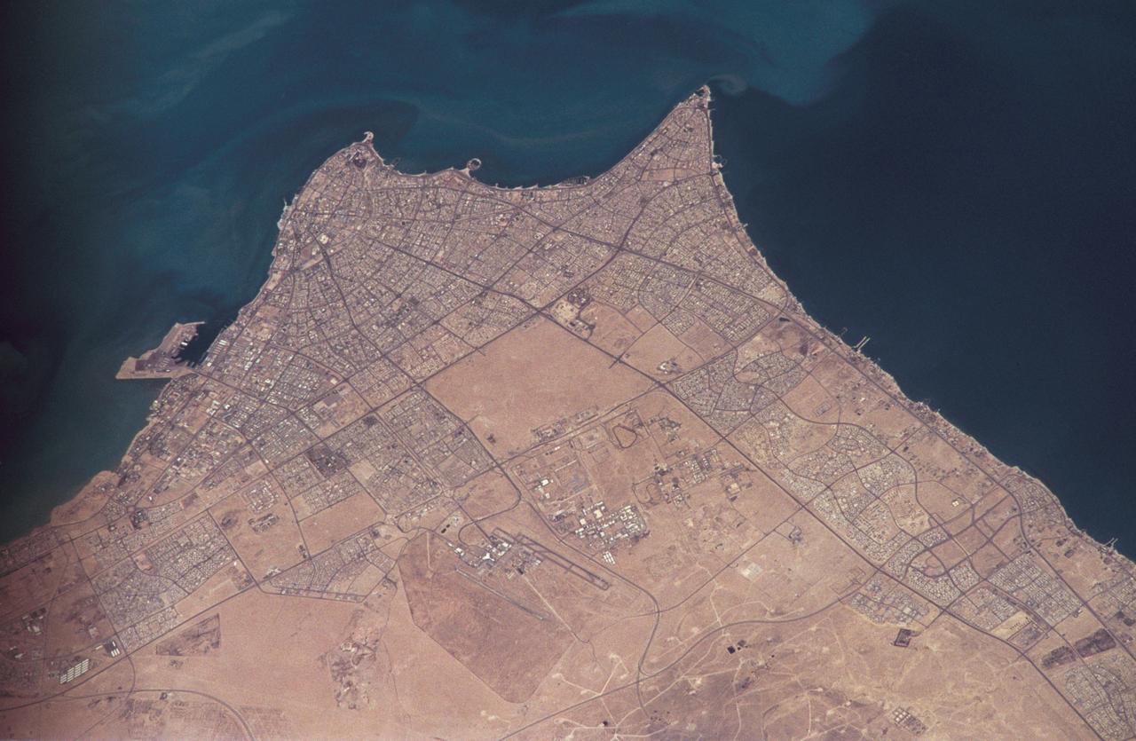
Earth observations taken by the STS-59 crew
1994-04-14 · NASA Image and Video Library
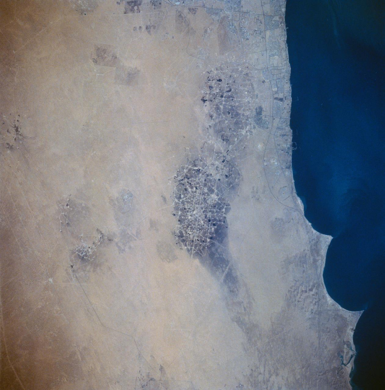
Kuwait Oil Fields as seen from STS-58
1993-10-20 · NASA Image and Video Library
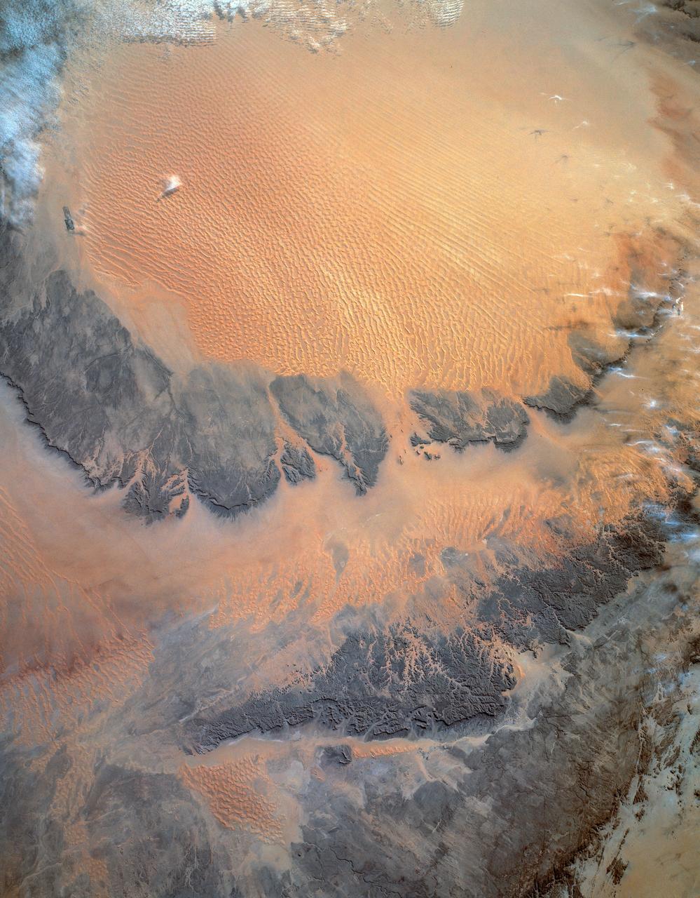
Murzuk Sand Sea, Sahara Desert, Libya, Africa
1993-01-19 · NASA Image and Video Library
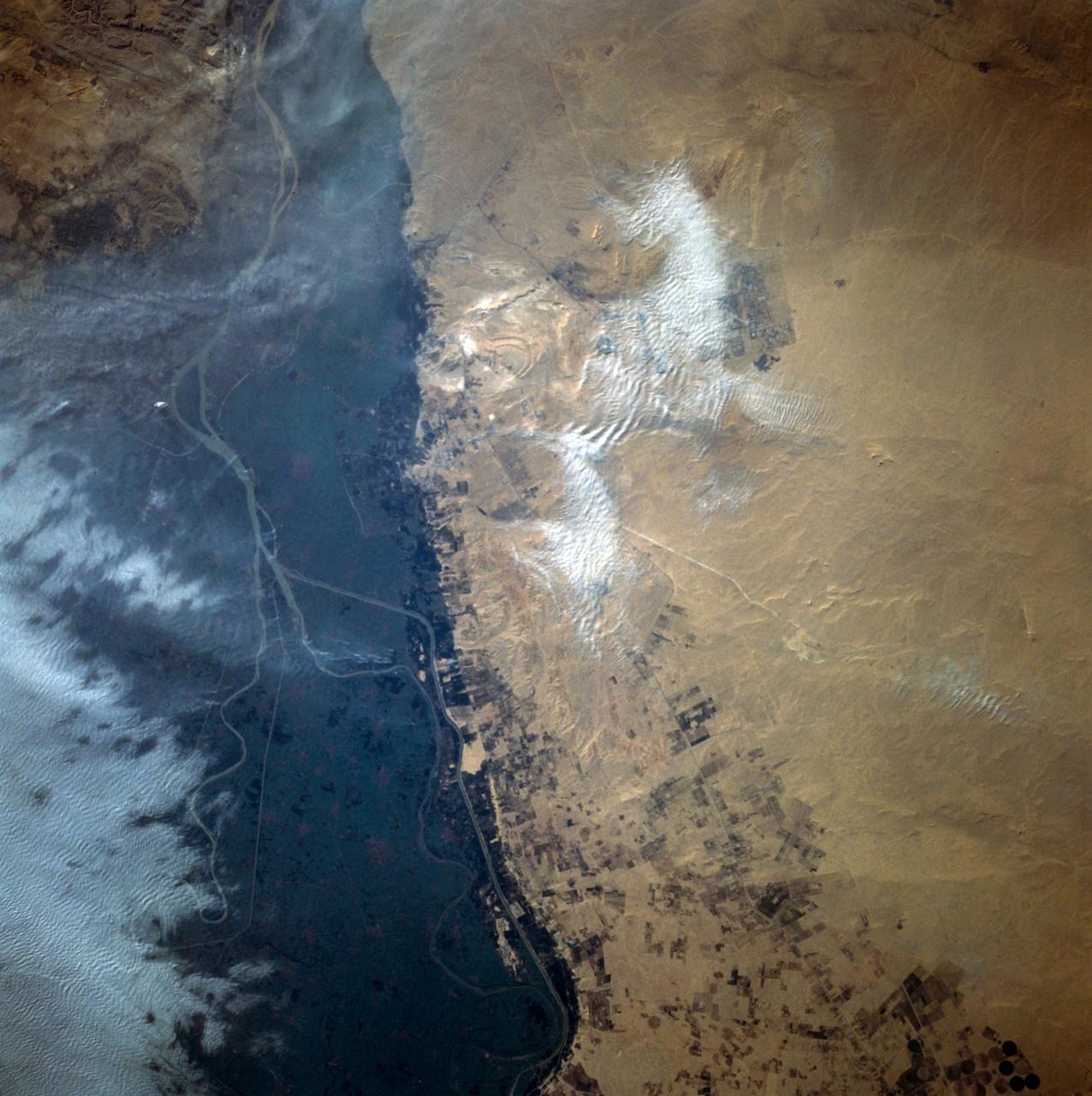
Cairo, Egypt/Nile River viewed from STS-66 Atlantis
1994-11-14 · NASA Image and Video Library
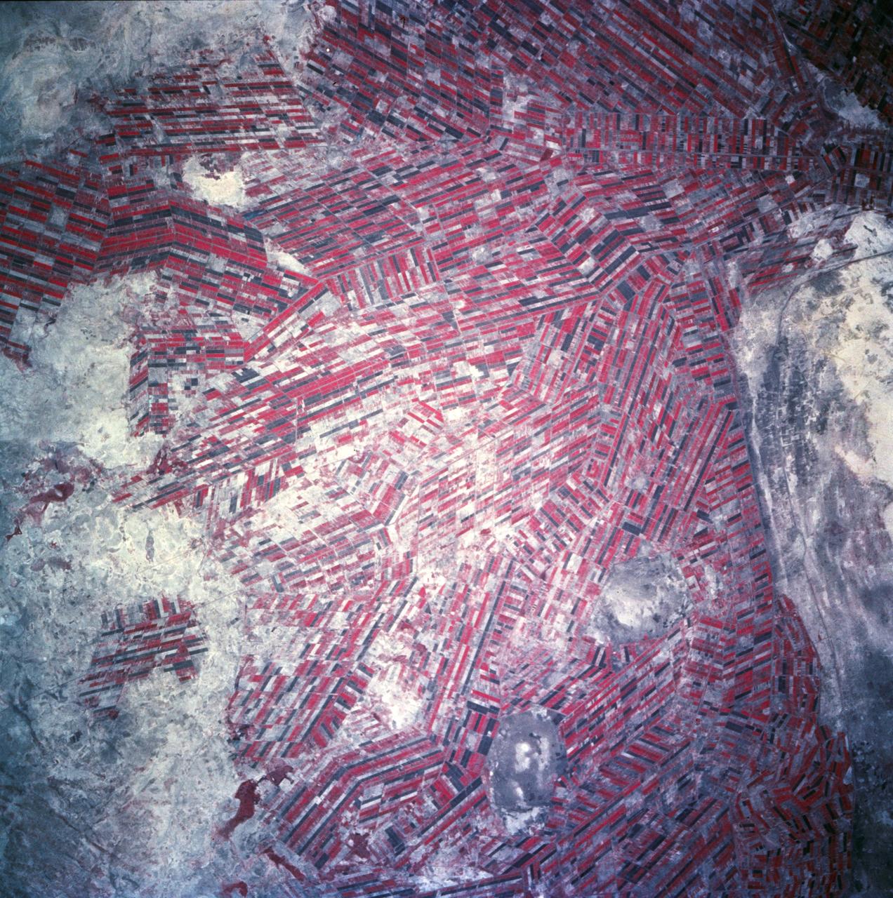
Sudan, Africa as seen from STS-66 shuttle Atlantis
1994-11-14 · NASA Image and Video Library
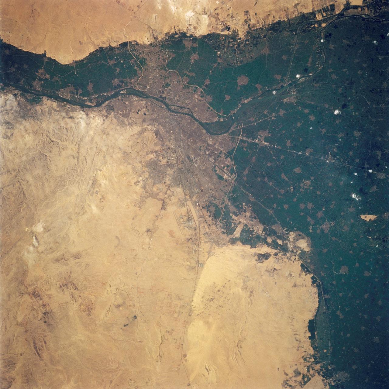
Cairo, Egypt as seen from STS-62
1994-03-05 · NASA Image and Video Library