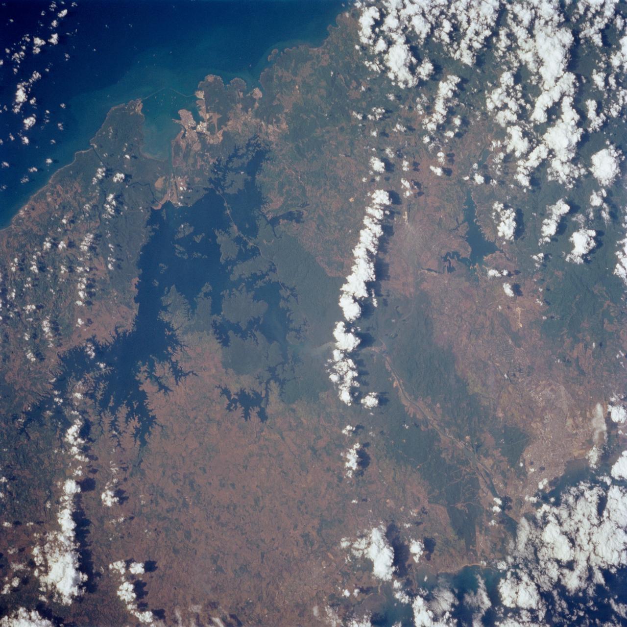
Panama Canal Zone as seen from STS-62
STS062-85-095 (4-18 March 1994) --- Gatun Lake and the forested Panama Canal Zone can be seen in this north northwest-looking low oblique photograph obtained in March 1994. The shipping chanel of the canal is 82.4 kilometers (51.2 miles) long, though the canal zone is only 65 kilometers (40 miles) long. The width of the canal zones extends generally 8 kilometers (5 miles) on either side of the shipping channel, except near Madden Lake. The canal connects the Atlantic Ocean (coastal city of Colon) with the Pacific Ocean near Panama City in a line that takes a northwest to southeast course because of the configuration of the isthmus. The canal zigzags across the isthmus to take advantage of the geographic features of the area such as the Chagres River. The controlled water supply for the canal is provided by the three artificial lakes: Gatun near the Atlantic terminus, Miraflores near the Pacific terminus and Madden about halfway across the isthmus. Gatun is the largest of the three lakes covering an area of 429 square kilometers (165 square miles). In the midst of this lake is Barro Colorado Island, a world-famous wild game perserve. Madden Lake was built as a large supplemental res
- Date
- 1994-03-05
- Collection
- JSC
- Archive
- NASA Image and Video Library
- Type
- photograph
Public domainsafest
Reason: a NASA work: not copyrighted in the United States.
Read from: NASA media usage guidelines: NASA material is not copyrighted in the US unless noted; no third-party credit or mark found.
Credit line
"Panama Canal Zone as seen from STS-62" (1994-03-05). NASA/JSC. Public domain. https://images.nasa.gov/details/sts062-85-095Need photos for a whole script? Add Find Any Photo to Claude and ask for this one by its id: 15151.
More like this
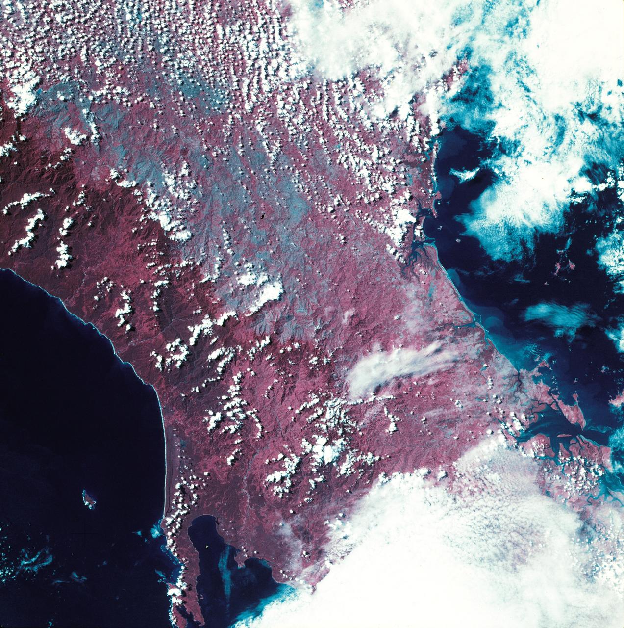
View of western portion of the Republic of Panama on Isthmus of Panama
1973-08-30 · NASA Image and Video Library
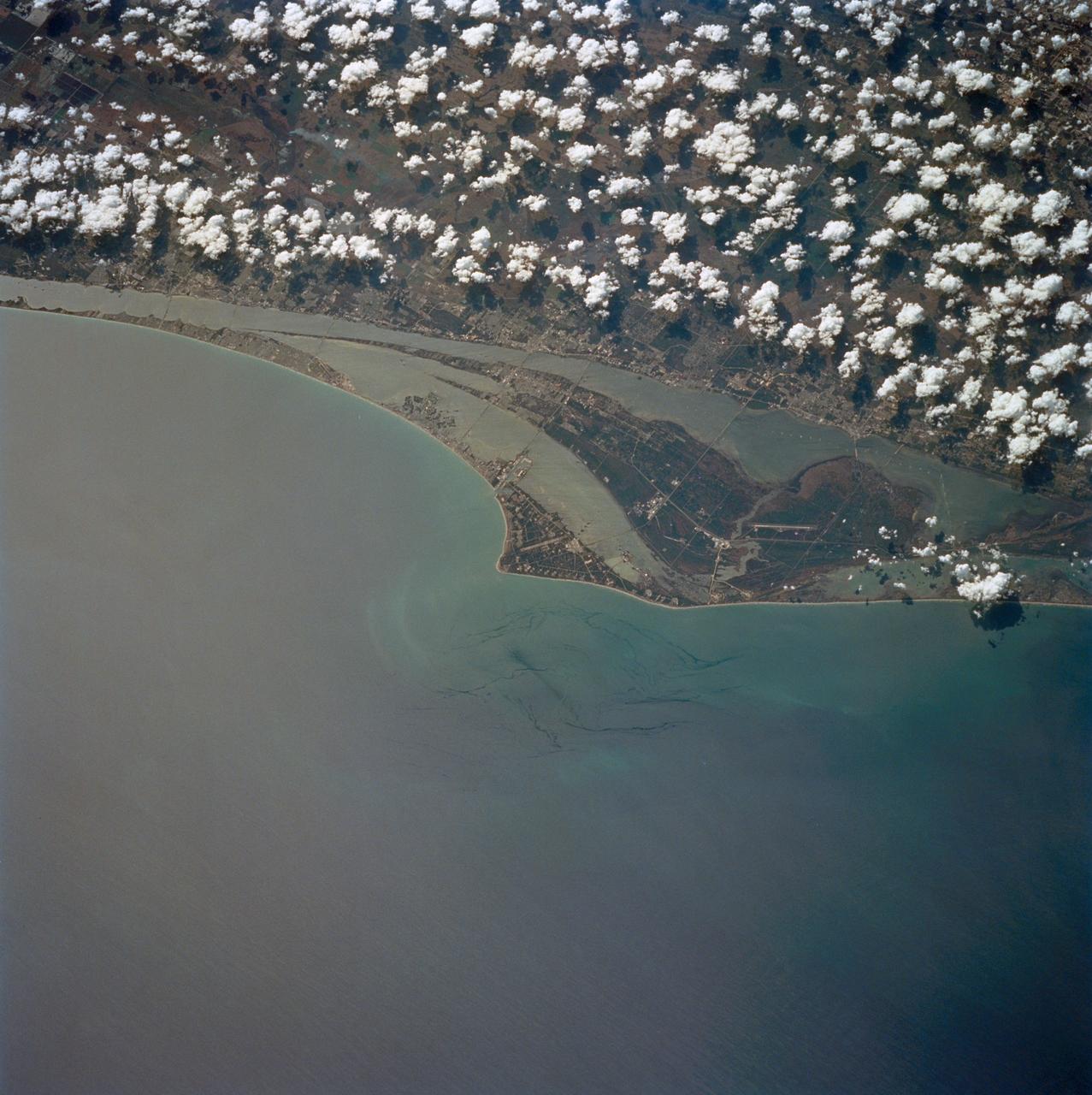
Kennedy Space Center, Florida as seen from STS-60
1994-02-09 · NASA Image and Video Library
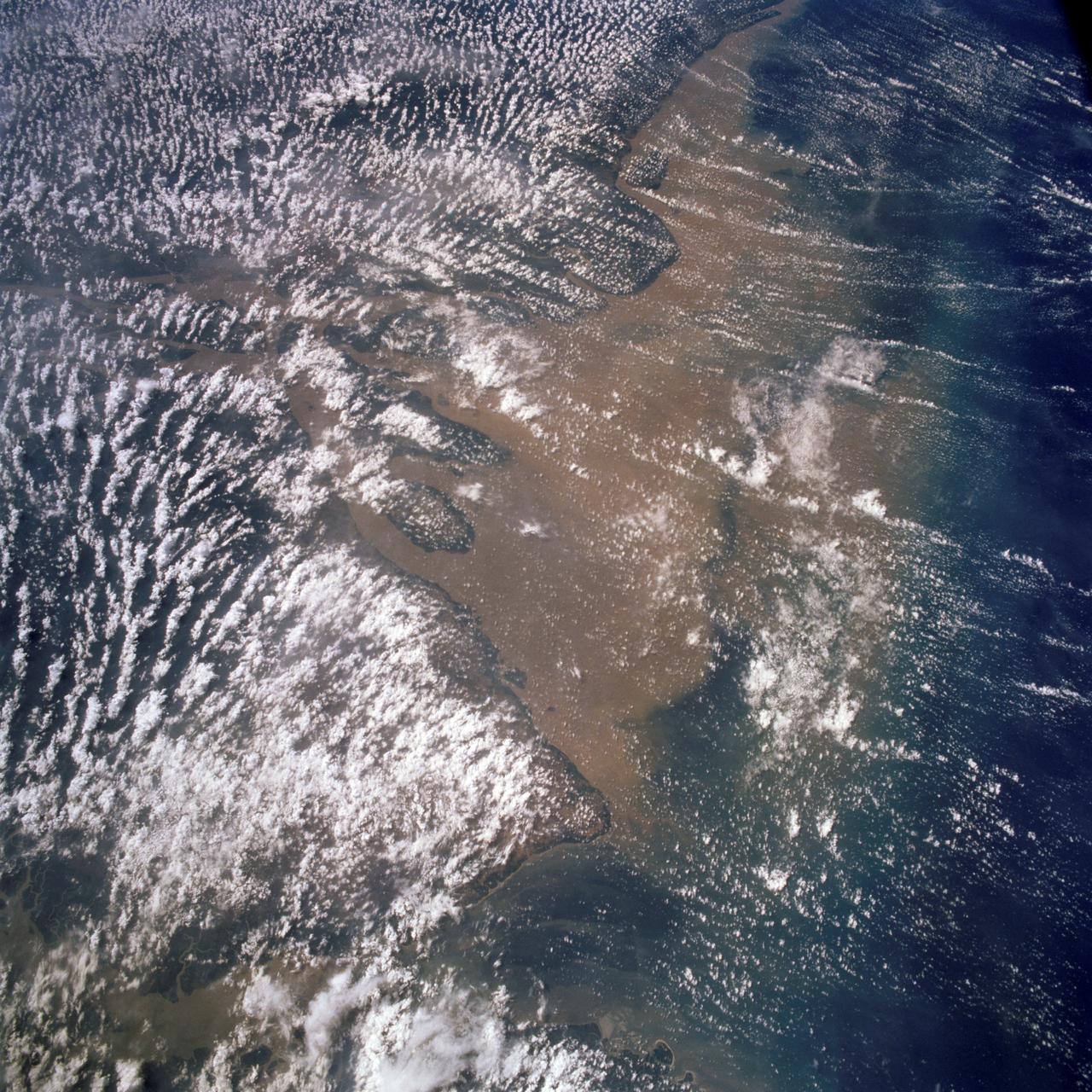
Mouth of the Amazon River as seen from STS-58
1993-10-30 · NASA Image and Video Library
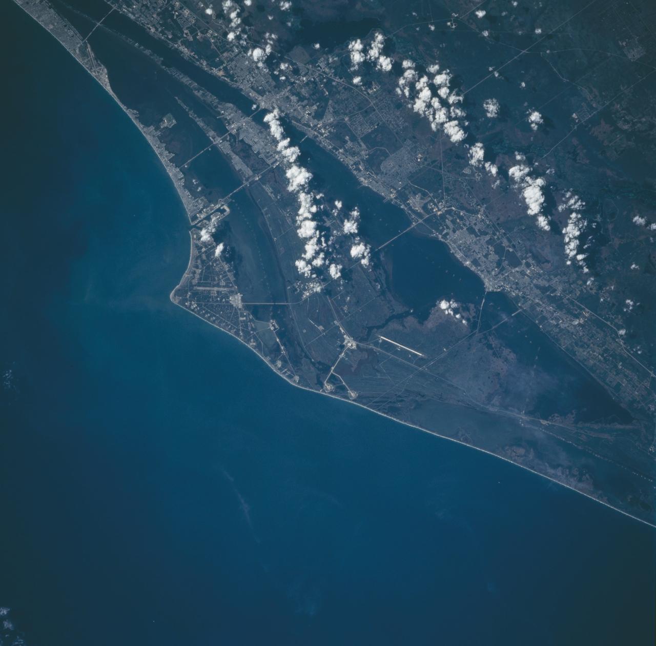
Cape Canaveral, Florida as seen from STS-66 Atlantis
1994-11-14 · NASA Image and Video Library
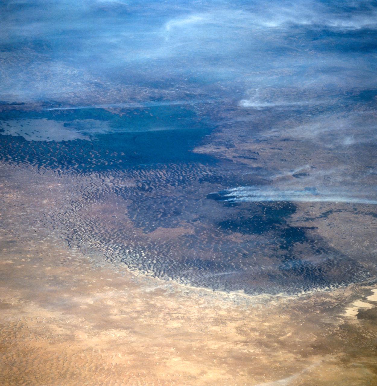
Lake Chad, Chad as seen from STS-66
1994-11-14 · NASA Image and Video Library
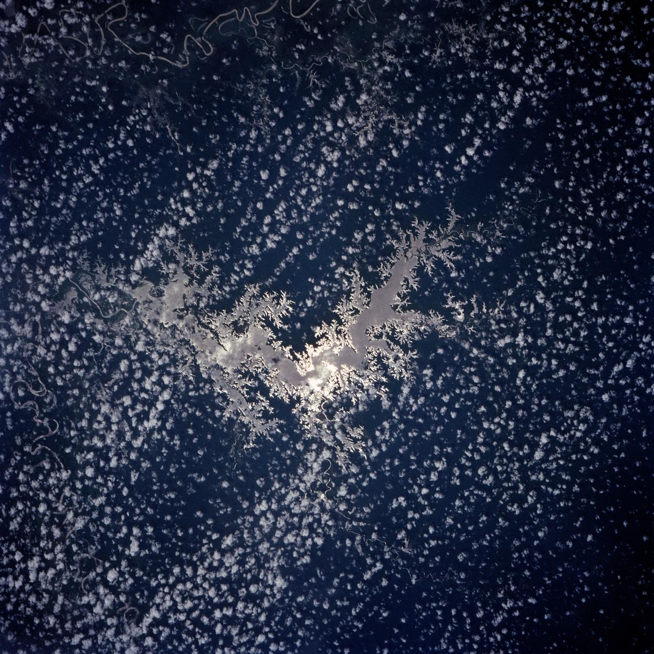
Lake Murray, Fly and Strickland River Basins, Papua, New Guinea
1991-12-01 · NASA Image and Video Library
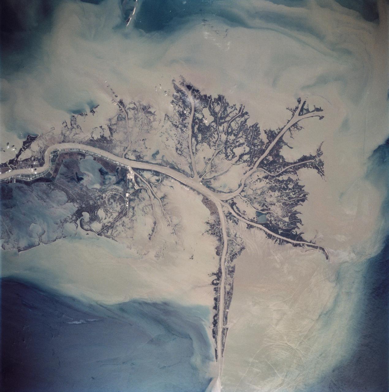
Mississippi River Delta, Louisiana as seen from STS-62
1994-03-05 · NASA Image and Video Library
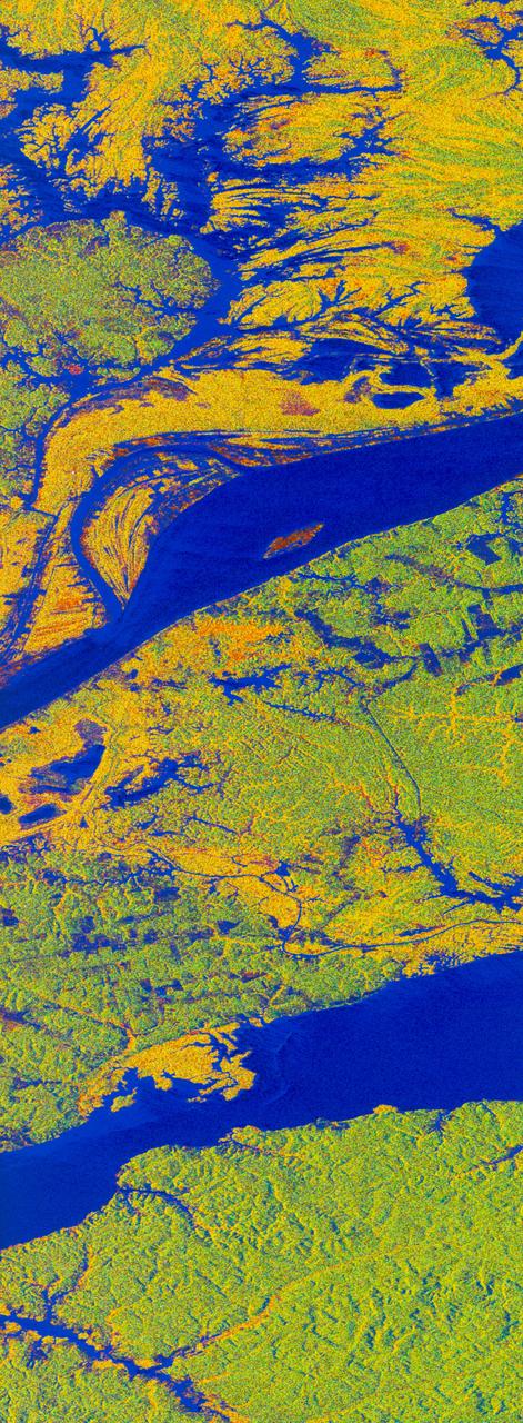
False-color L-band image of Manaus region of Brazil
1994-04-13 · NASA Image and Video Library