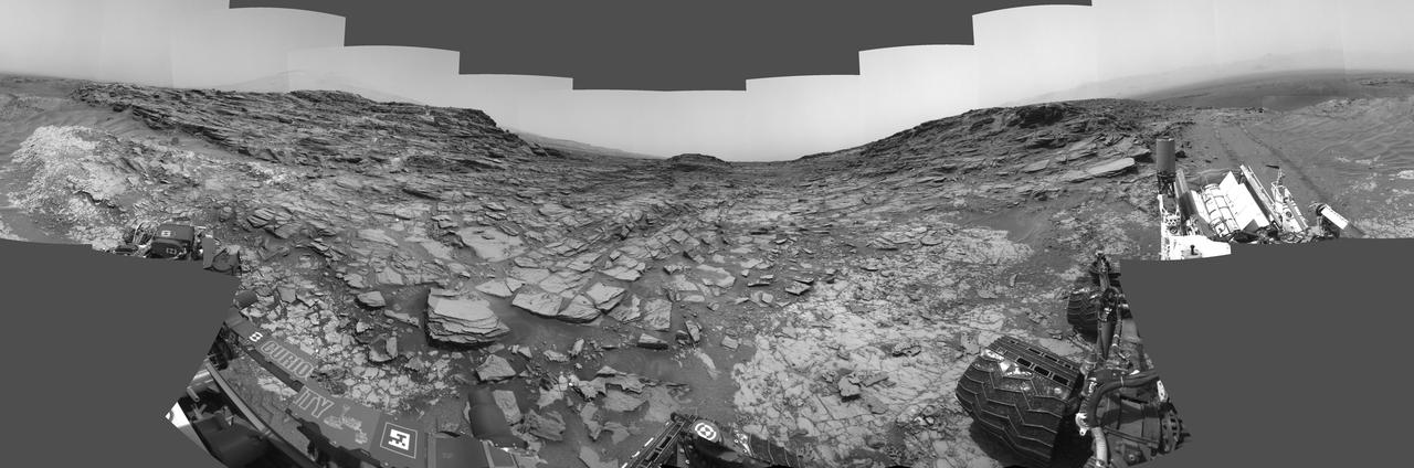
Panorama from Curiosity Sol 1000 Location
This 360-degree panorama from the Navigation Camera (Navcam) on NASA's Curiosity Mars rover shows the surroundings of a site on lower Mount Sharp where the rover spent its 1,000th Martian day, or sol, on Mars. Sol 1,000 of Curiosity's Mars-surface mission corresponded to May 30, 2015. The component images for this scene were taken on Sol 997 (May 27, 2015). The site is a valley just below "Marias Pass" on lower Mount Sharp. A map of the area is at http://mars.nasa.gov/msl/images/Curiosity_Location_Sol997-full.jpg. Tracks from the rover's drive to this site are visible at right. The rover team chose this location near Marias Pass because images from orbit showed what appeared to be a contact between two types of bedrock. The two types are evident in this panorama. The bedrock close to the rover is pale mudstone similar to what Curiosity examined in 2014 and early 2015 at "Pahrump Hills." The darker, finely bedded bedrock above it is sandstone that the rover team calls the "Stimson" unit. The largest-looking slab of Stimson sandstone in the image, in the lower left quadrant, is a target called "Ronan," selected for close-up inspection. http://photojournal.jpl.nasa.gov/catalog/PIA1967
- Date
- 2015-07-01
- Photographer / author
- NASA/JPL-Caltech
- Collection
- JPL
- Archive
- NASA Image and Video Library
- Type
- photograph
Public domainsafest
Reason: a NASA work: not copyrighted in the United States.
Read from: NASA media usage guidelines: NASA material is not copyrighted in the US unless noted; no third-party credit or mark found.
Credit line
"Panorama from Curiosity Sol 1000 Location" (2015-07-01). NASA/JPL/NASA/JPL-Caltech. Public domain. https://images.nasa.gov/details/PIA19679Need photos for a whole script? Add Find Any Photo to Claude and ask for this one by its id: 23845.
More like this
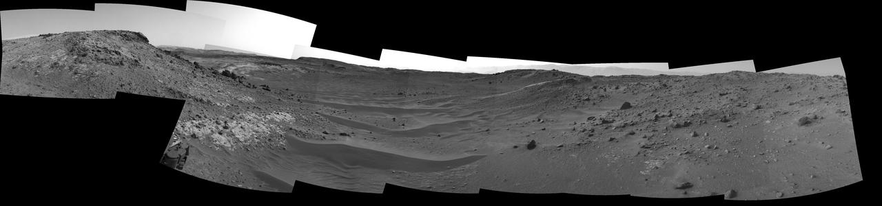
Curiosity View Ahead Through Artist Drive
2015-04-13 · NASA Image and Video Library

View Ahead After Curiosity Sol 376 Drive Using Autonomous Navigation
2013-08-27 · NASA Image and Video Library
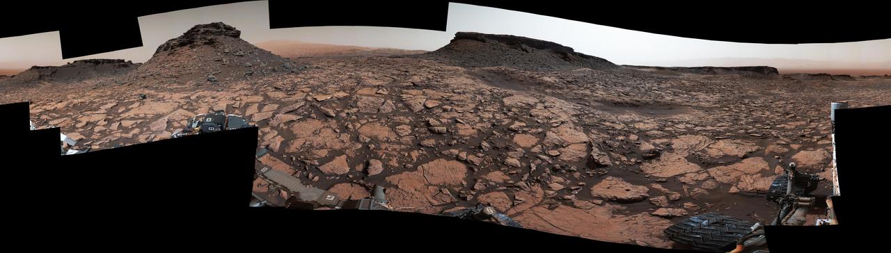
Rover Panorama Taken Amid Murray Buttes on Mars
2016-10-03 · NASA Image and Video Library
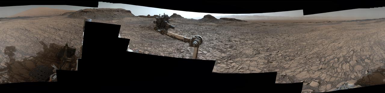
Rover Panorama of Entrance to Murray Buttes on Mars
2016-08-19 · NASA Image and Video Library
Scene From Artist Drive on Mars
2015-04-13 · NASA Image and Video Library
Crisp View from Inside Gale Crater
2012-08-09 · NASA Image and Video Library

Opportunity Surroundings on 3,000th Sol
2012-09-07 · NASA Image and Video Library

Wide 'Vera Rubin Ridge' Ahead of Curiosity Mars Rover
2017-07-11 · NASA Image and Video Library