
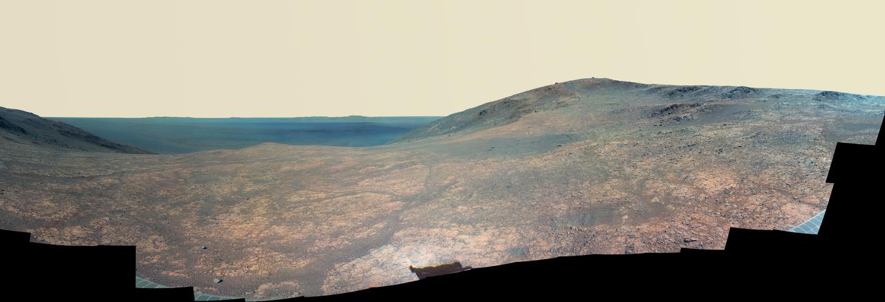
Wide 'Vera Rubin Ridge' Ahead of Curiosity Mars Rover
This panorama from the Mast Camera (Mastcam) of NASA's Curiosity Mars rover shows details of "Vera Rubin Ridge," which stretches about 4 miles (6.5 kilometers), end-to-end, on the northwestern flank of lower Mount Sharp. The view combines 112 images taken with the Mastcam's right-eye camera, which has a telephoto lens, on April 4, 2017, during the 1,657th Martian day, or sol, of Curiosity's work on Mars. It has been white-balanced so that colors of the rock and sand materials resemble how they would appear under daytime lighting conditions on Earth. It spans from east-southeast on the left to south-southwest on the right, from a rover location about half a mile (0.8 kilometer) from the closest part of the ridge. Hematite, an iron-oxide mineral, has been detected in this ridge by the Compact Reconnaissance Imaging Spectrometer for Mars (CRISM) on NASA's Mars Reconnaissance Orbiter. The ridge has been an identified destination for Curiosity since before the rover's August 2012 landing near the base of Mount Sharp, inside Gale Crater. The ridge was informally named in early 2017 in memory of Vera Cooper Rubin (1928-2016), whose astronomical observations provided evidence for the exist
- Date
- 2017-07-11
- Photographer / author
- NASA/JPL-Caltech/MSSS
- Collection
- JPL
- Archive
- NASA Image and Video Library
- Type
- photograph
Public domainsafest
Reason: a NASA work: not copyrighted in the United States.
Read from: NASA media usage guidelines: NASA material is not copyrighted in the US unless noted; no third-party credit or mark found.
Credit line
"Wide 'Vera Rubin Ridge' Ahead of Curiosity Mars Rover" (2017-07-11). NASA/JPL/NASA/JPL-Caltech/MSSS. Public domain. https://images.nasa.gov/details/PIA21717Need photos for a whole script? Add Find Any Photo to Claude and ask for this one by its id: 23323.
More like this
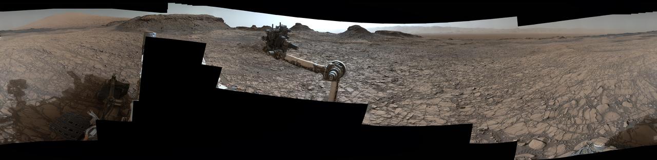
Rover Panorama of Entrance to Murray Buttes on Mars
2016-08-19 · NASA Image and Video Library
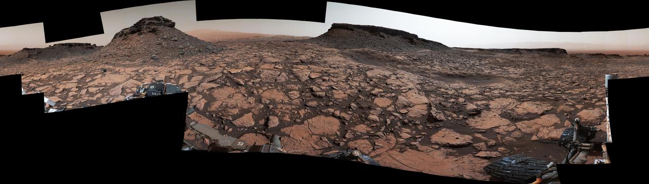
Rover Panorama Taken Amid Murray Buttes on Mars
2016-10-03 · NASA Image and Video Library

Curiosity Mars Rover Approach to Pahrump Hills
2014-09-25 · NASA Image and Video Library
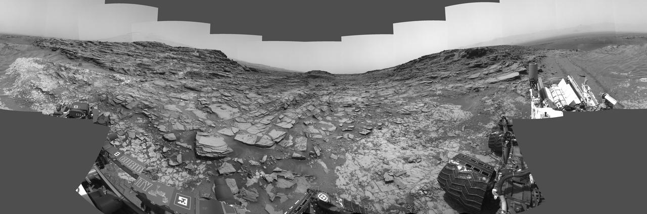
Panorama from Curiosity Sol 1000 Location
2015-07-01 · NASA Image and Video Library

Billion-Pixel View From Curiosity at Rock Nest, Raw Color
2013-06-19 · NASA Image and Video Library

Billion-Pixel View From Curiosity at Rock Nest, White-Balanced
2013-06-19 · NASA Image and Video Library
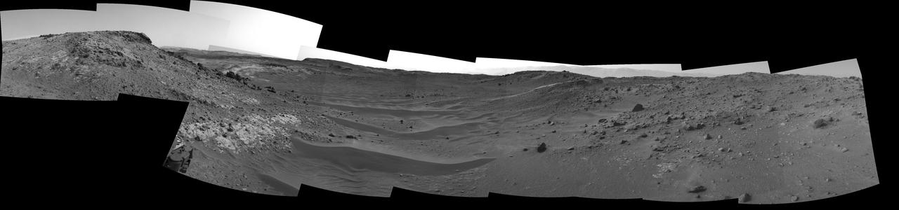
Curiosity View Ahead Through Artist Drive
2015-04-13 · NASA Image and Video Library
Mars Rover Opportunity Panorama of Marathon Valley (Enhanced Color)
2016-06-14 · NASA Image and Video Library