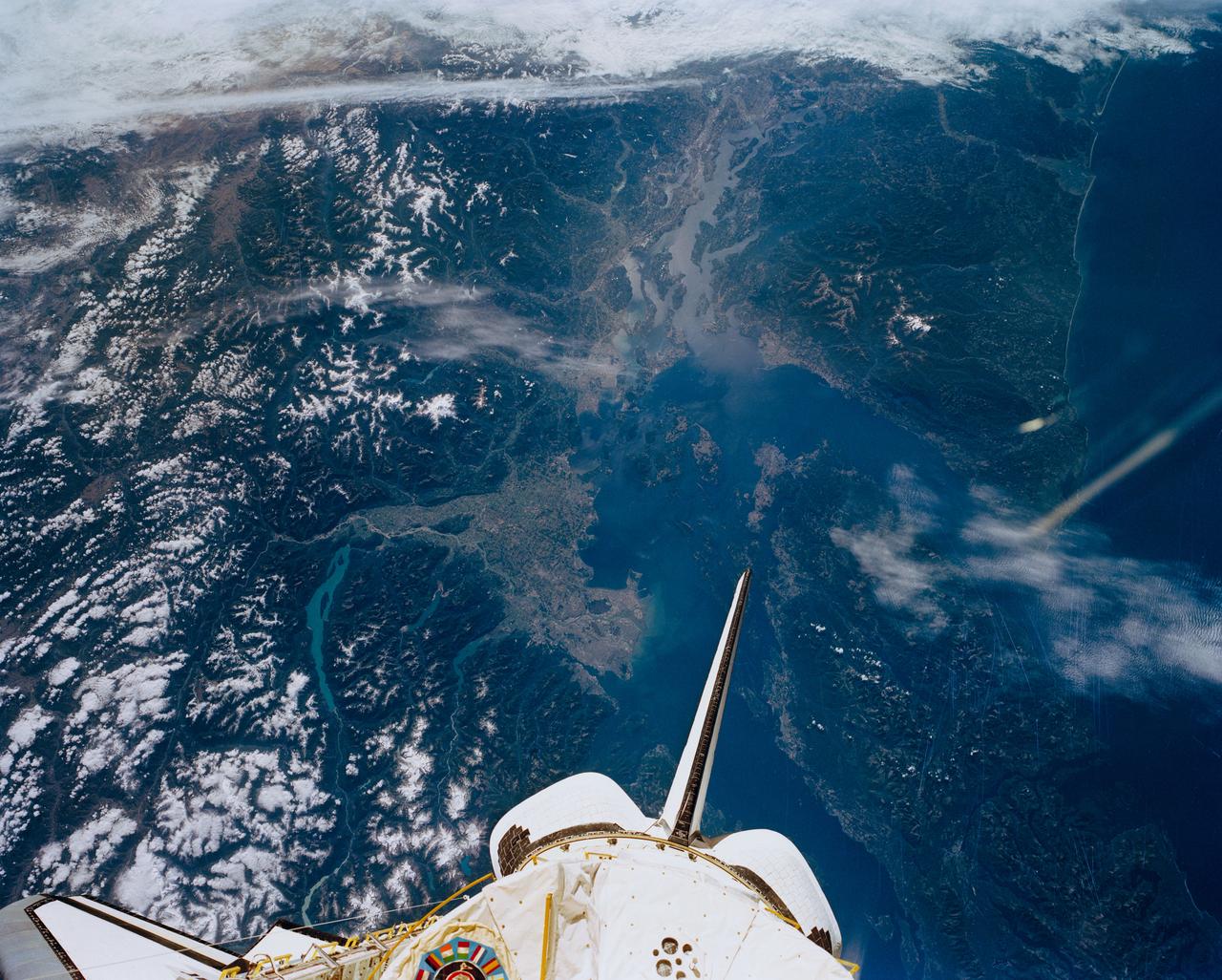
Puget Sound, Seattle, WA, USA, Vancouver, British Columbia, Canada
STS047-151-488 (12 - 20 Sept 1992) --- In this large format camera image, the forested Cascade Range appears along the left side; the Pacific Ocean, on the right. The frame was photographed as the Space Shuttle Endeavour flew north to south over Vancouver and Seattle. Many peaks in the Cascades reach altitudes greater than 9,000 feet and remain snowcapped even in mid-summer. The Strait of Juan de Fuca separates the Olympic Peninsula (top right) from Vancouver Island (bottom right). Snowcapped Mt. Olympus (7,965 feet) is one of the wettest places in the continental United States, with rainfall in excess of 120 inches per year. The port cities of Seattle and Tacoma occupy the heavily indented coastline of Puget Sound (top center). They appear as light-colored areas on the left side of the Sound. The angular street pattern of Tacoma is visible at the top of the picture. The international boundary between Canada and the United States of America runs across the middle of the view. The city of Victoria (center) is the light patch on the tip of Vancouver Island. Canada's Fraser River Delta provides flat topography on which the cities of Vancouver, Burnaby, and New Westminster were built.
- Date
- 1992-09-20
- Collection
- JSC
- Archive
- NASA Image and Video Library
- Type
- photograph
Public domainsafest
Reason: a NASA work: not copyrighted in the United States.
Read from: NASA media usage guidelines: NASA material is not copyrighted in the US unless noted; no third-party credit or mark found.
Credit line
"Puget Sound, Seattle, WA, USA, Vancouver, British Columbia, Canada" (1992-09-20). NASA/JSC. Public domain. https://images.nasa.gov/details/sts047-151-488Need photos for a whole script? Add Find Any Photo to Claude and ask for this one by its id: 15144.
More like this
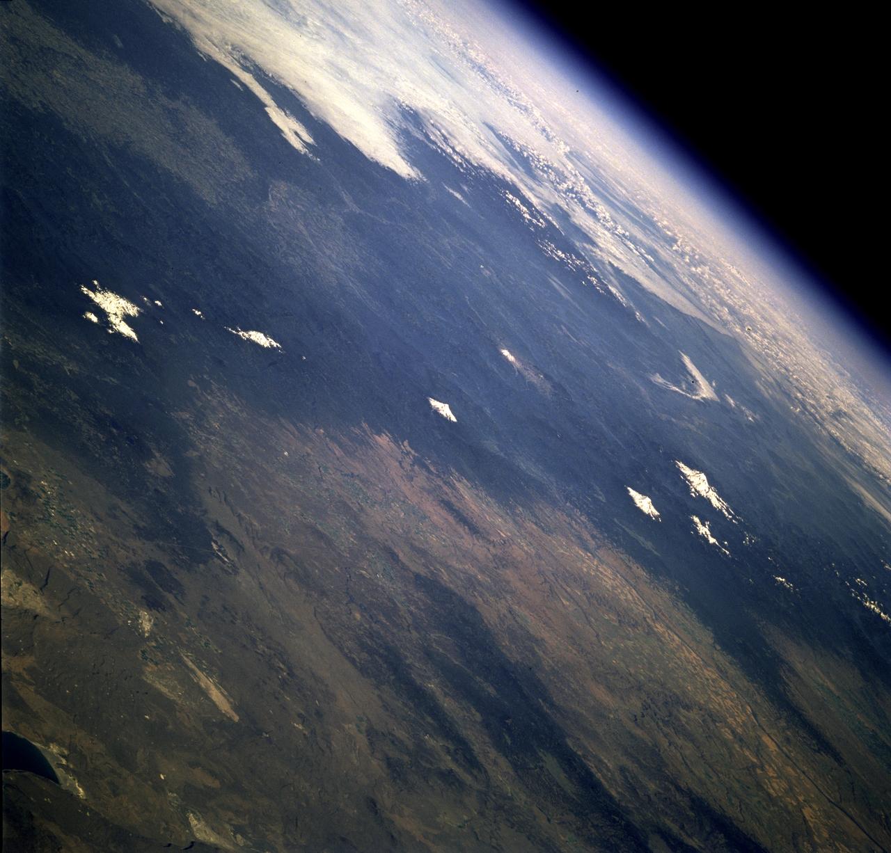
Earth observations taken from Space Shuttle Columbia during STS-78 mission
1996-07-01 · NASA Image and Video Library
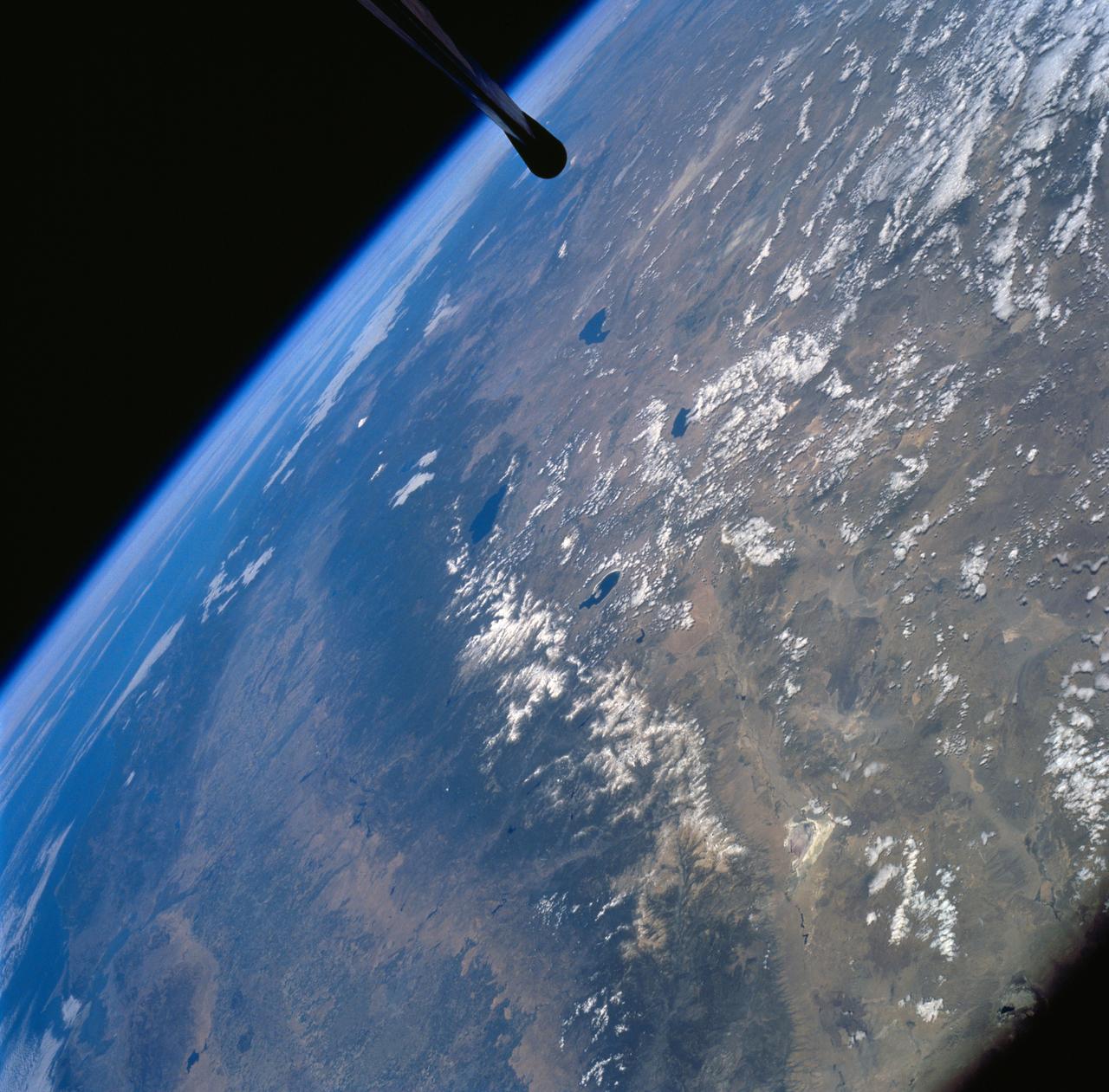
Sierra Nevada Mountain Range as seen from STS-58
1994-10-20 · NASA Image and Video Library
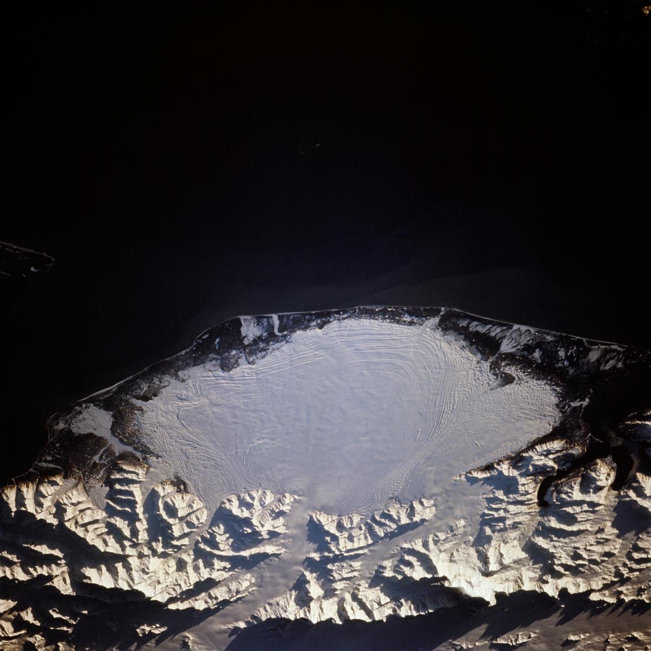
Malaspina Glacier, Alaska as seen from STS-66 Atlantis
1994-11-14 · NASA Image and Video Library
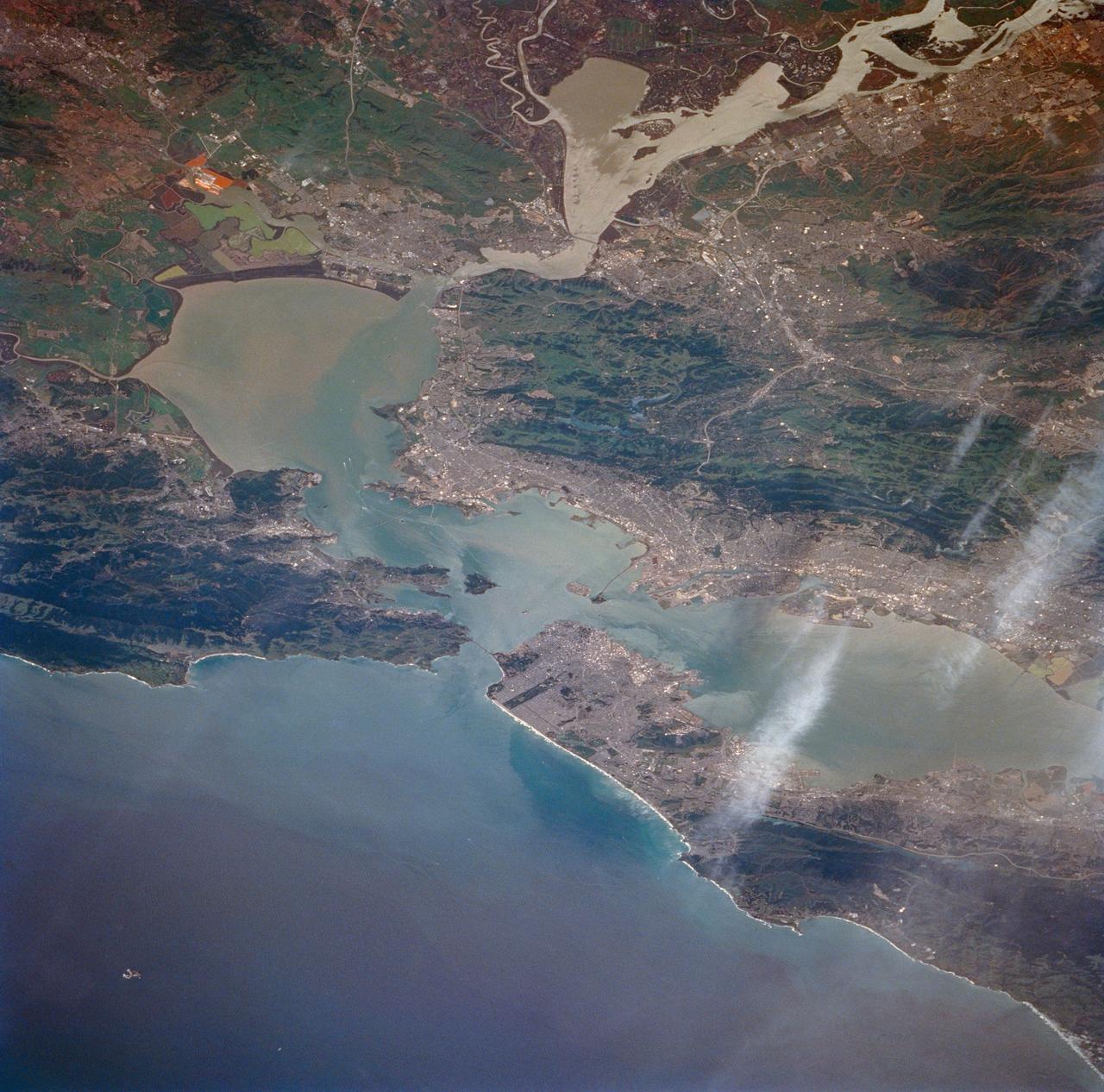
San Francisco Bay, California as seen from STS-59
1994-04-14 · NASA Image and Video Library
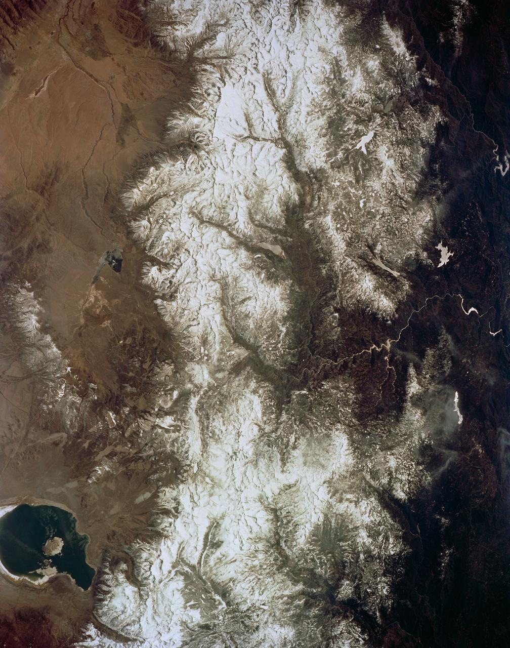
Mono Lake, California as seen from STS-59
1994-04-14 · NASA Image and Video Library
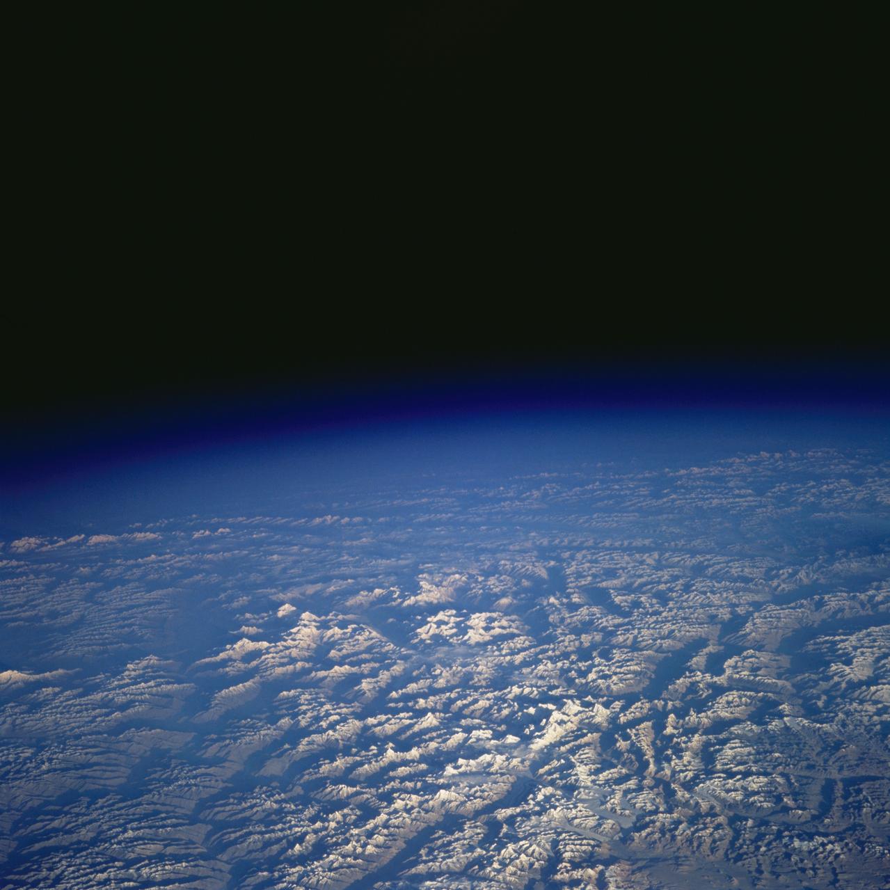
Pakistan as seen from STS-58
1993-10-20 · NASA Image and Video Library
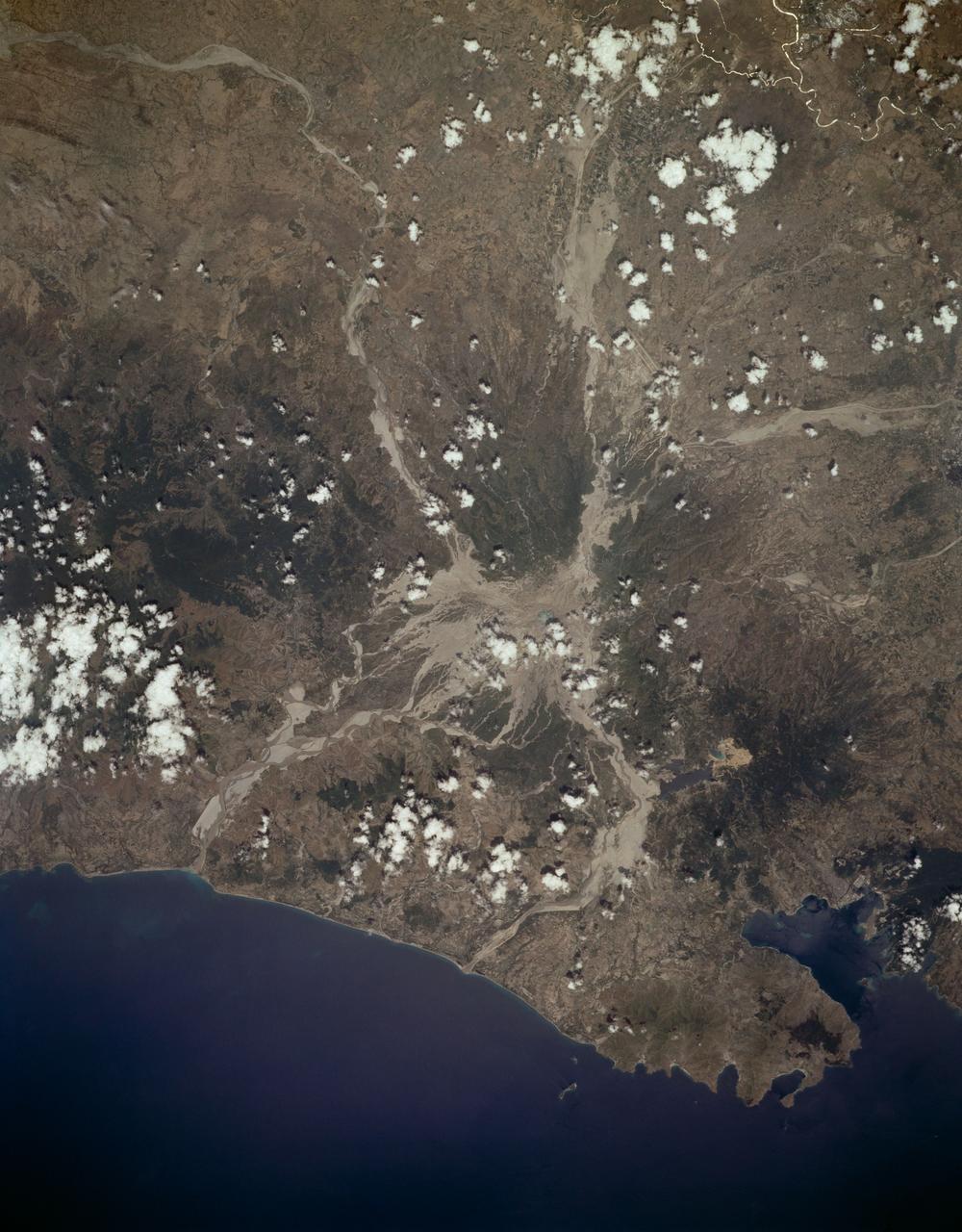
Mount Pinatubo, Philippine Islands as seen from STS-59
1994-04-10 · NASA Image and Video Library
Strait of Gibraltar as seen from STS-58
1993-10-20 · NASA Image and Video Library