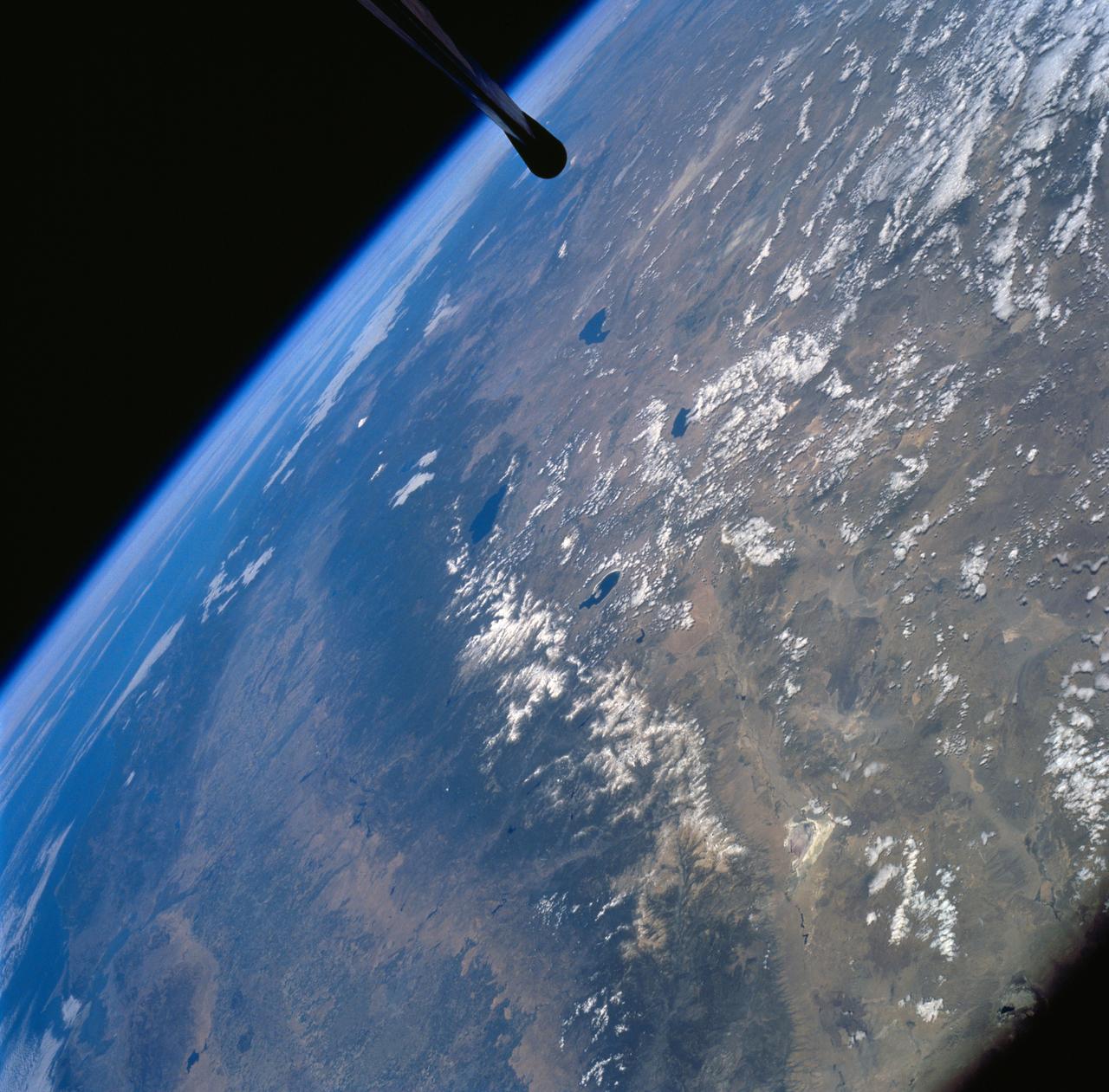
Sierra Nevada Mountain Range as seen from STS-58
STS058-72-004 (18 Oct-1 Nov 1993) --- The Sierra Nevada Mountain Range can be seen in this north-looking high oblique view taken in October, 1993, by the STS-58 crew. Visible in the view to the west of the Sierra Nevada are the San Joaquin and Sacramento Valleys of central California. The San Francisco/Oakland Bay Area can be seen to the west of the valley at the extreme left of the photograph. To the east or right of the Sierra Nevada, the basin and Range Region of central and northern Nevada is visible. Mono Lake, Lake Tahoe and Pyramid Lake are also visible in this scene. The long northwest/southeast trending Walker Lane Shear Zone, which lies just to the east (right) of the Sierra Nevada is also visible. Near the top of the view (near the horizon), the snow covered volcanic peak Mount Shasta can be seen. Over 645 kilometers (400 miles) long and from 65 to 130 kilometers (40 to 80 miles) wide, the Sierra Nevada have many peaks in excess of 3,300 meters (11,000 feet) above sea level. A titled fault block in structure (the largest in the United States) and shaped by glaciers during the last ice age over 12,000 years ago, the Sierra Nevada eastern front rises sharply from the Great
- Date
- 1994-10-20
- Collection
- JSC
- Archive
- NASA Image and Video Library
- Type
- photograph
Public domainsafest
Reason: a NASA work: not copyrighted in the United States.
Read from: NASA media usage guidelines: NASA material is not copyrighted in the US unless noted; no third-party credit or mark found.
Credit line
"Sierra Nevada Mountain Range as seen from STS-58" (1994-10-20). NASA/JSC. Public domain. https://images.nasa.gov/details/sts058-72-004Need photos for a whole script? Add Find Any Photo to Claude and ask for this one by its id: 15242.
More like this
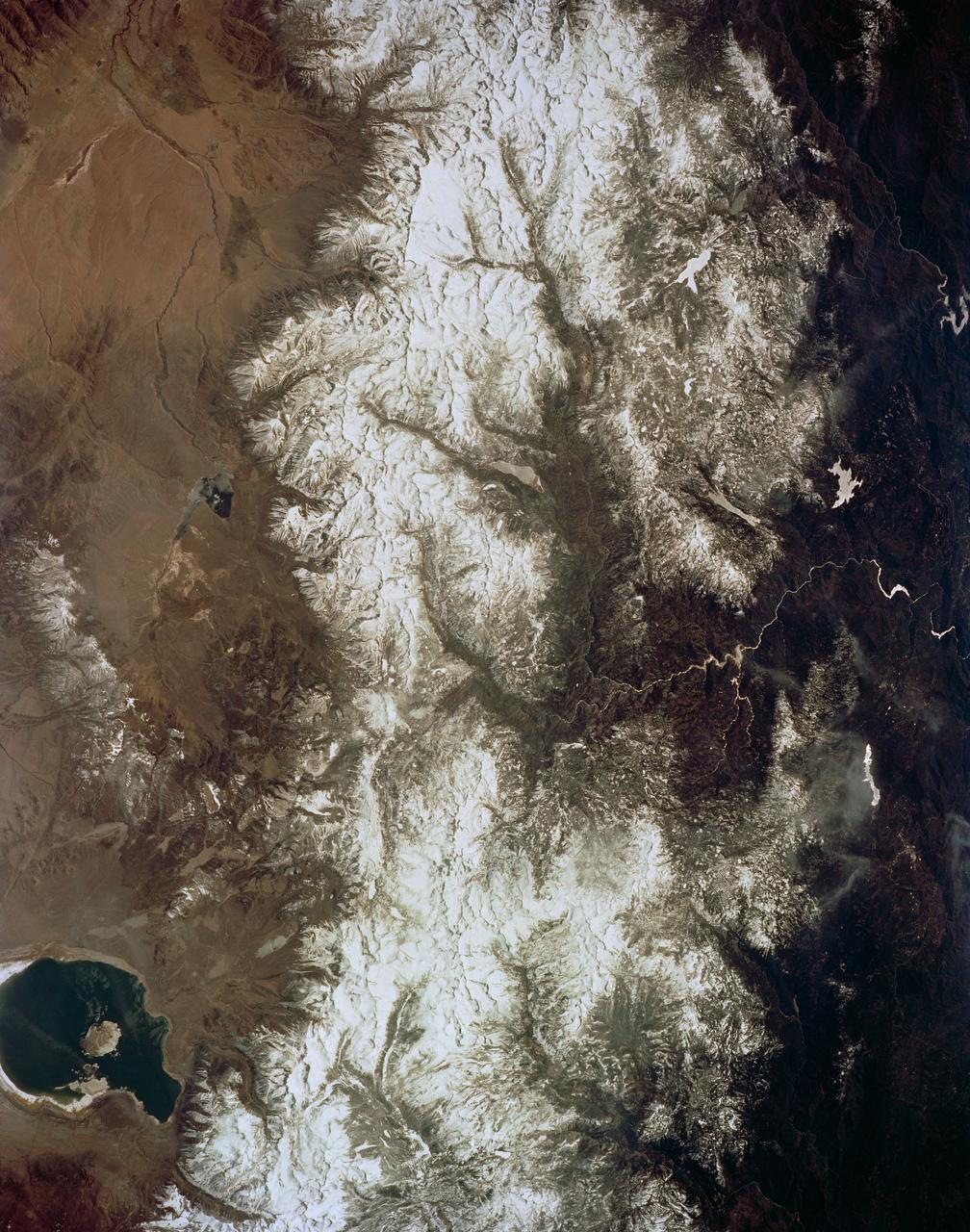
Mono Lake, California as seen from STS-59
1994-04-14 · NASA Image and Video Library
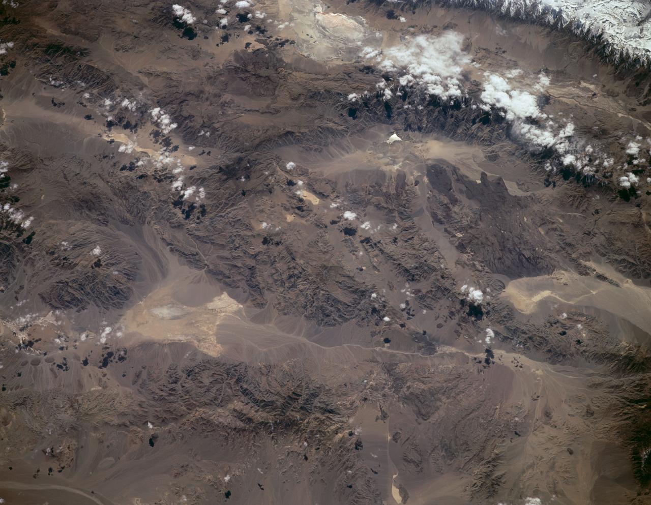
Sierra Nevada, California as seen from STS-59
1994-04-14 · NASA Image and Video Library
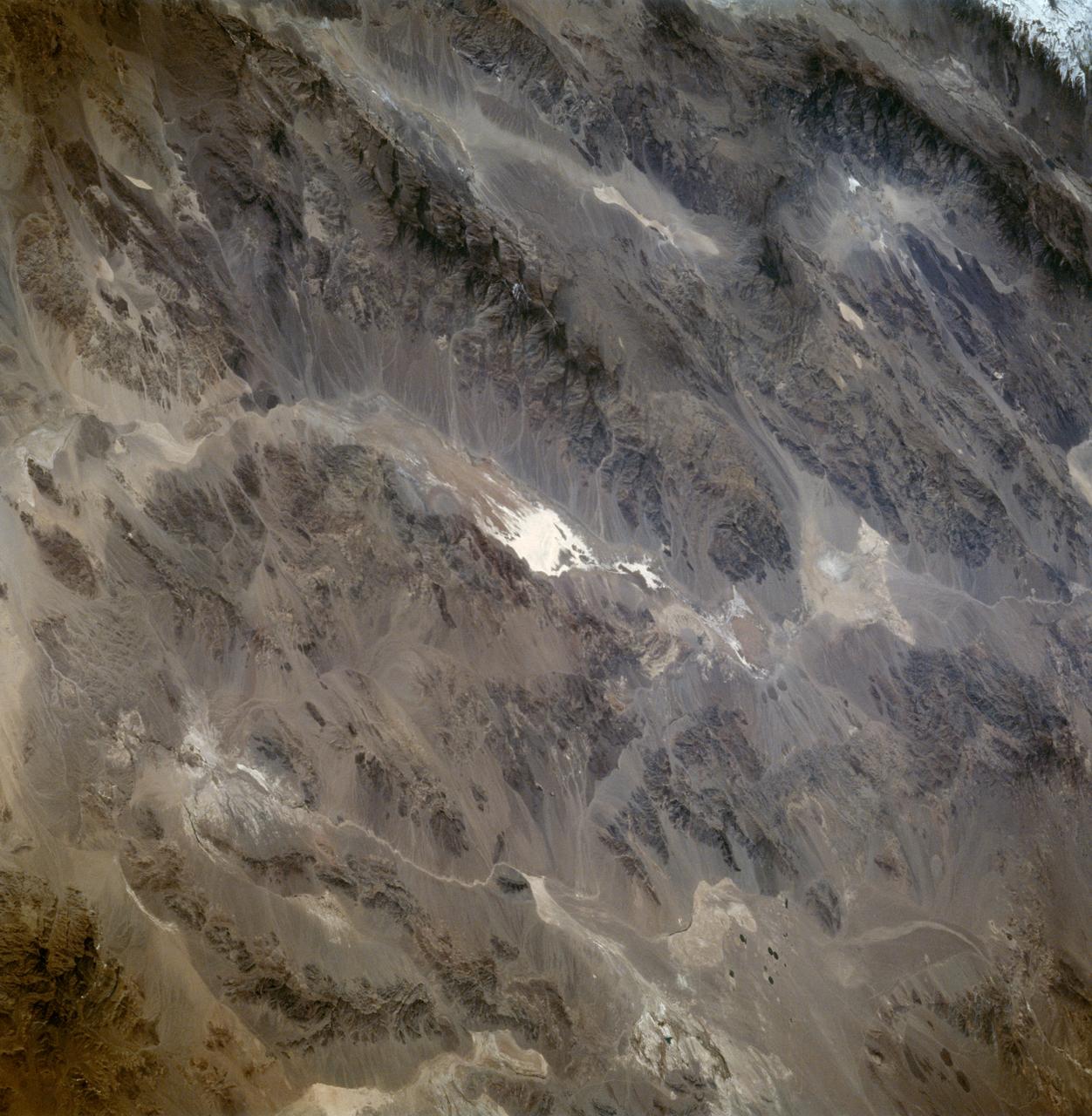
Death Valley California as seen from STS-59
1994-04-13 · NASA Image and Video Library
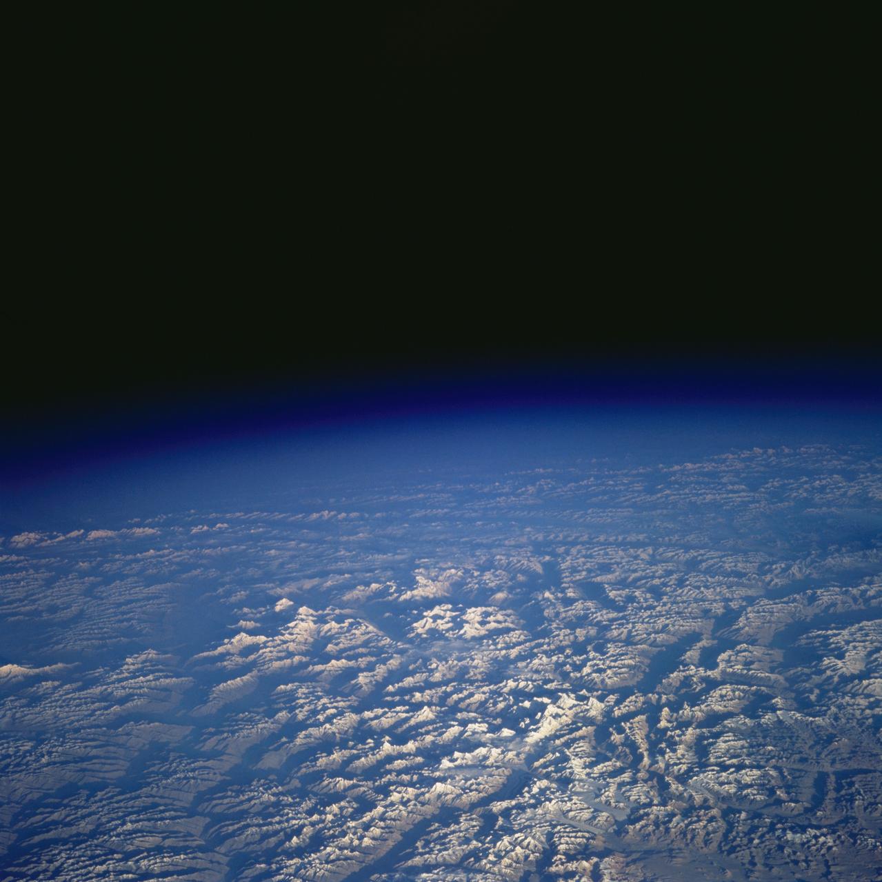
Pakistan as seen from STS-58
1993-10-20 · NASA Image and Video Library
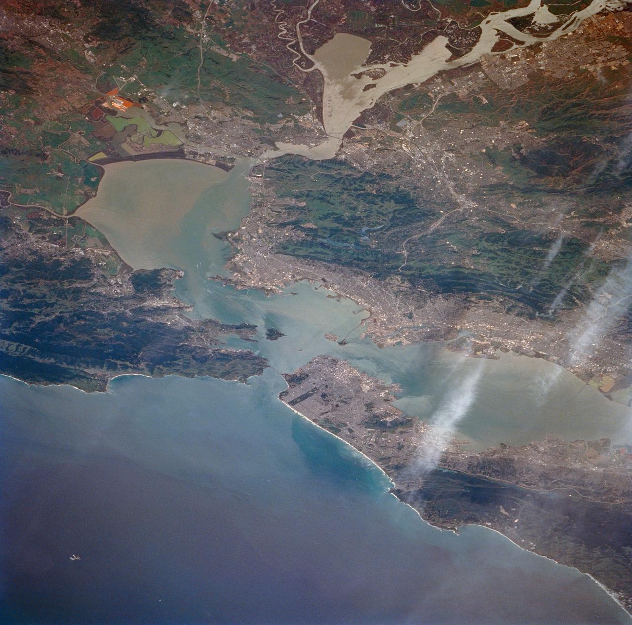
San Francisco Bay, California as seen from STS-59
1994-04-14 · NASA Image and Video Library
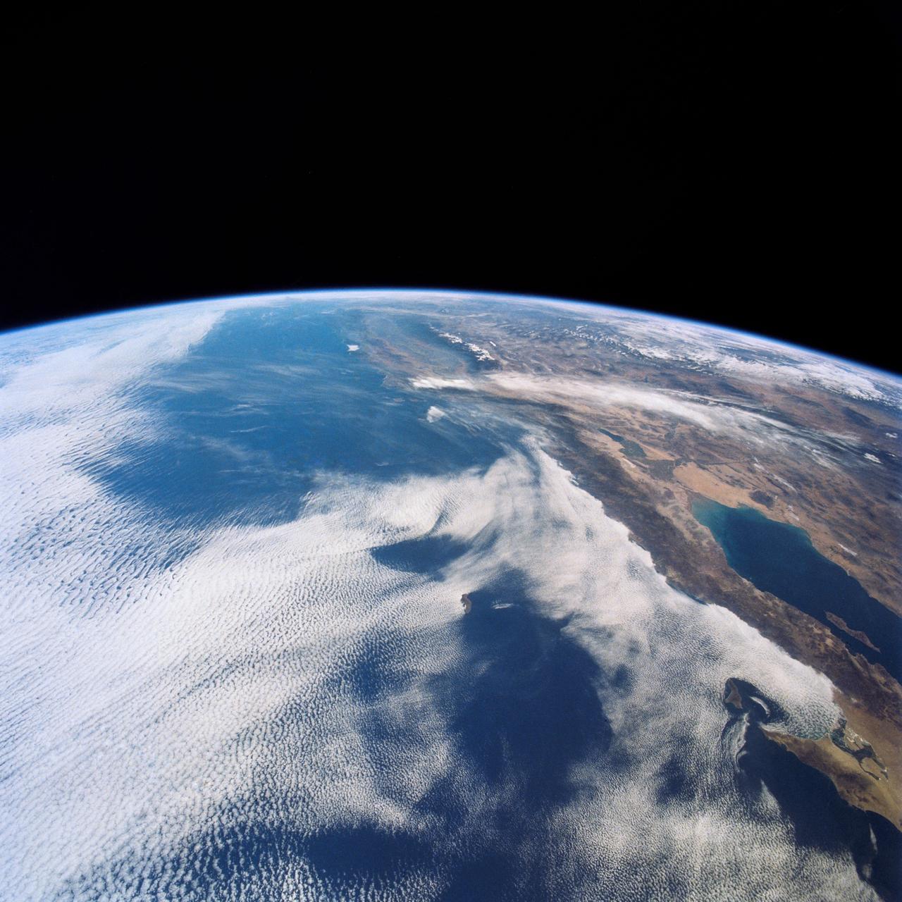
West Coast, United States and Mexico
1990-04-29 · NASA Image and Video Library
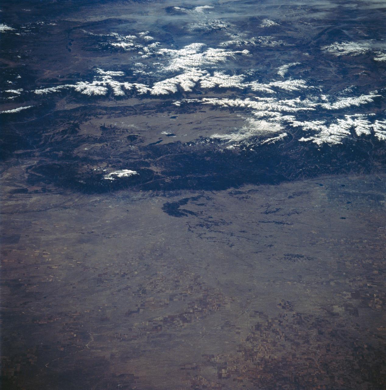
Colorado as seen from STS-58
1993-10-30 · NASA Image and Video Library
California, San Francisco Bay area
1981-04-14 · NASA Image and Video Library