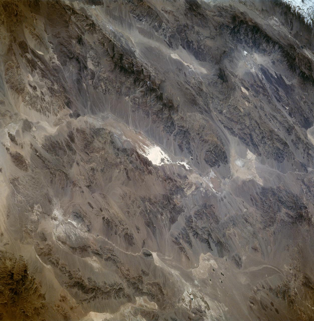
Death Valley California as seen from STS-59
STS059-86-059 (9-20 April 1994) --- This oblique handheld Hasselblad 70mm photo shows Death Valley, near California's border with Nevada. The valley -- the central feature of Death Valley National Monument -- extends north to south for some 140 miles (225 kilometers). Hemmed in to the east by the Amargosa Range and to the west by the Panamints, its width varies from 5 to 15 miles (8 to 24 kilometers). Using Spaceborne Imaging Radar (SIR-C) and X-band Synthetic Aperture Radar (X-SAR) onboard the Space Shuttle Endeavour, the crew was able to record a great deal of data on this and other sites, as part of NASA's Mission to Planet Earth.
- Date
- 1994-04-13
- Collection
- JSC
- Archive
- NASA Image and Video Library
- Type
- photograph
Public domainsafest
Reason: a NASA work: not copyrighted in the United States.
Read from: NASA media usage guidelines: NASA material is not copyrighted in the US unless noted; no third-party credit or mark found.
Credit line
"Death Valley California as seen from STS-59" (1994-04-13). NASA/JSC. Public domain. https://images.nasa.gov/details/sts059-86-059Need photos for a whole script? Add Find Any Photo to Claude and ask for this one by its id: 13827.
More like this
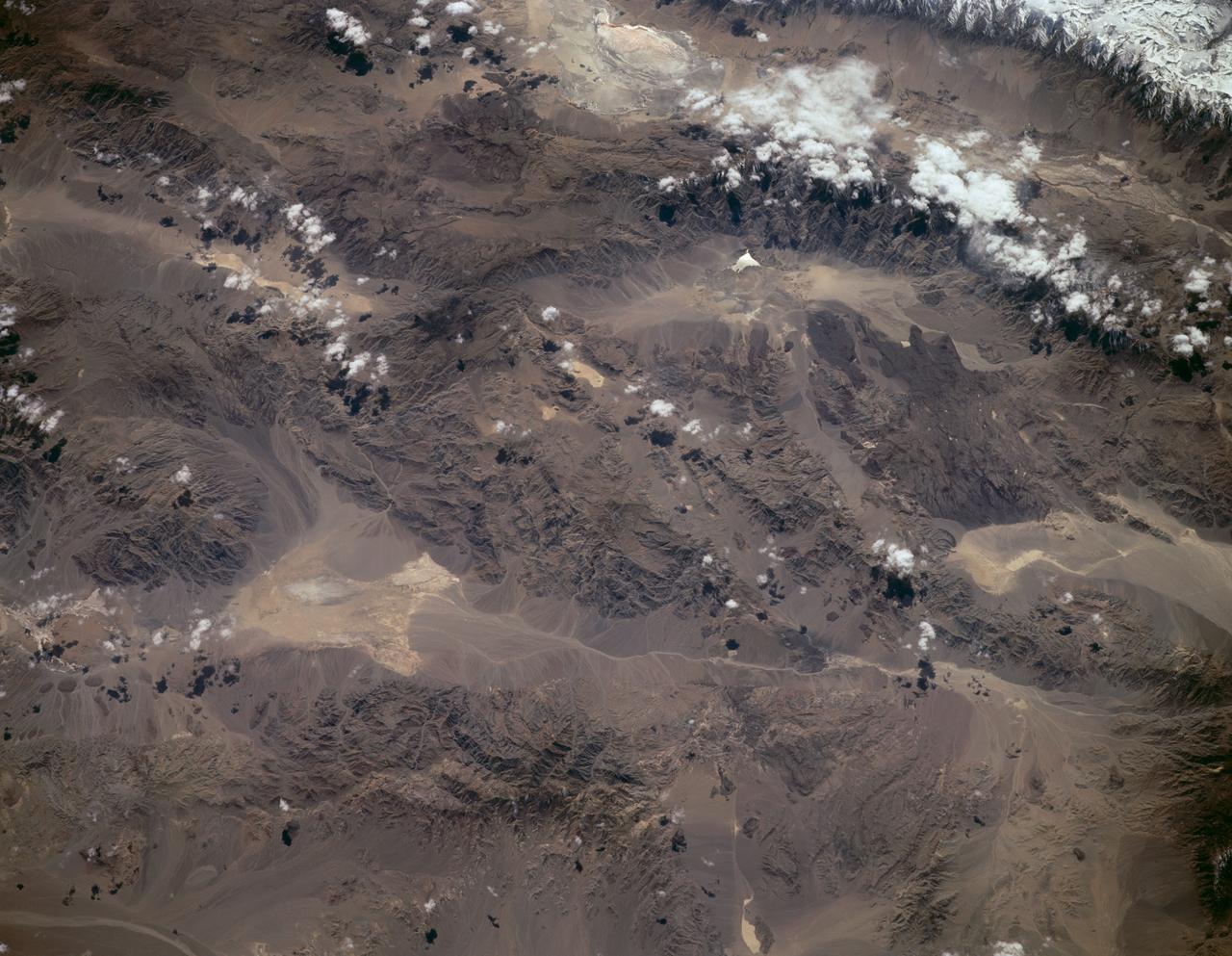
Sierra Nevada, California as seen from STS-59
1994-04-14 · NASA Image and Video Library
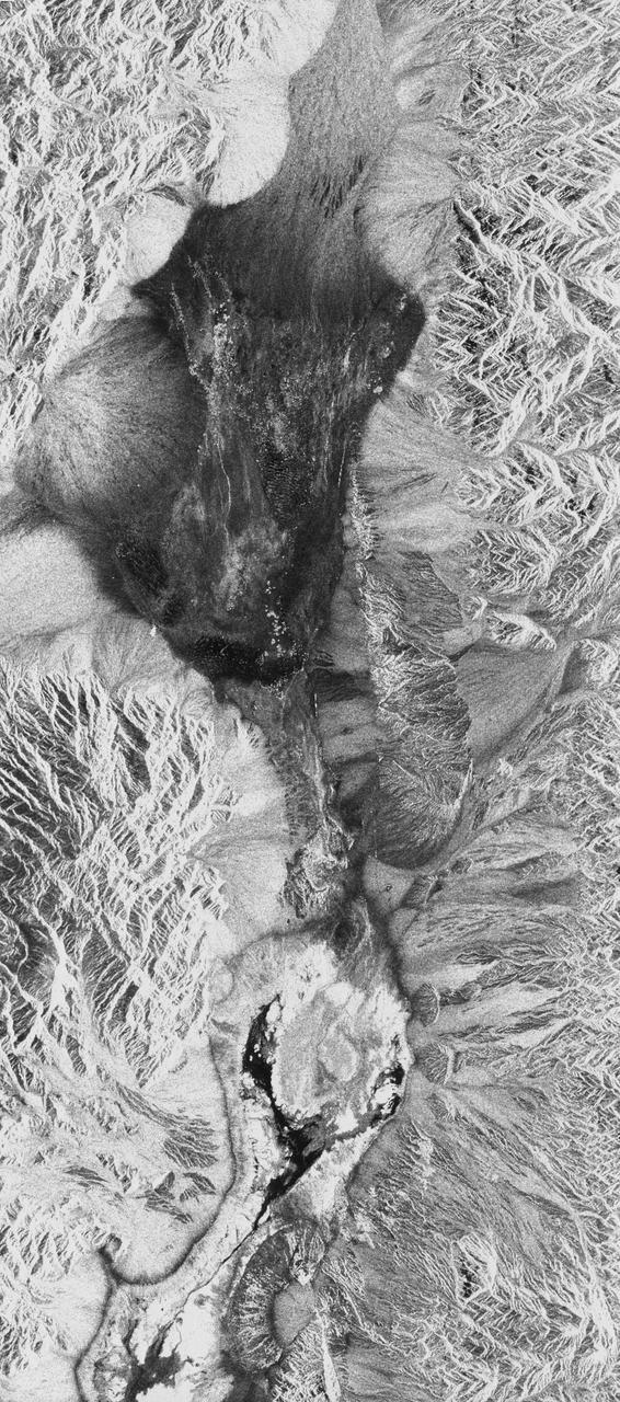
Death Valley, California
1994-04-11 · NASA Image and Video Library
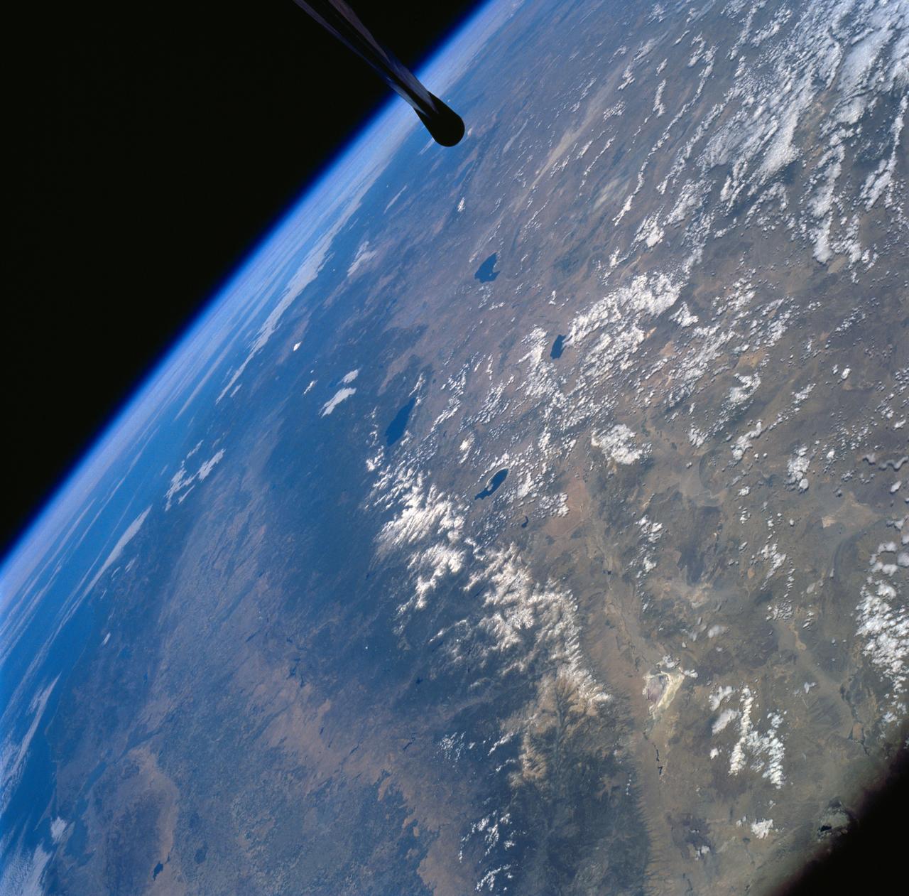
Sierra Nevada Mountain Range as seen from STS-58
1994-10-20 · NASA Image and Video Library
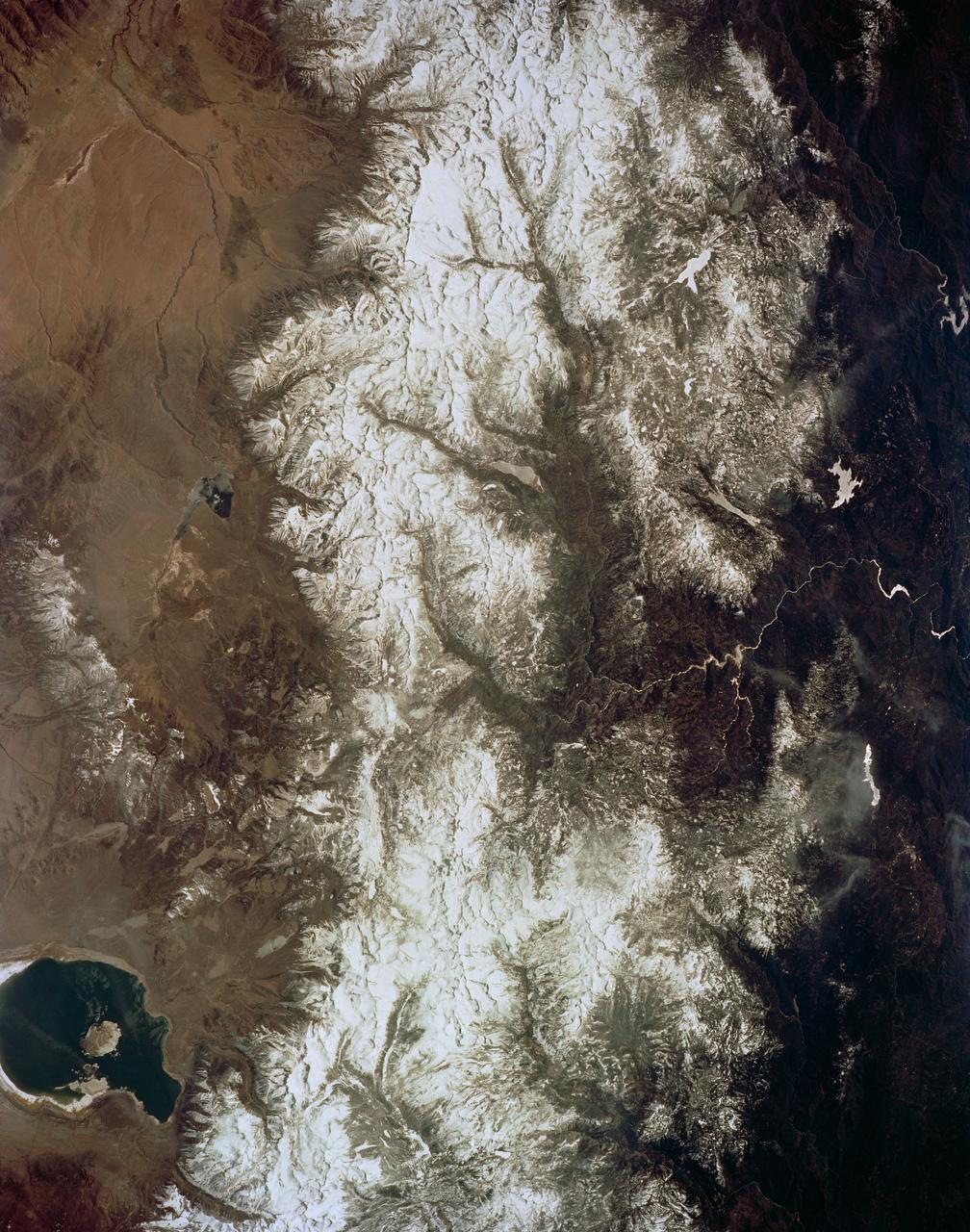
Mono Lake, California as seen from STS-59
1994-04-14 · NASA Image and Video Library
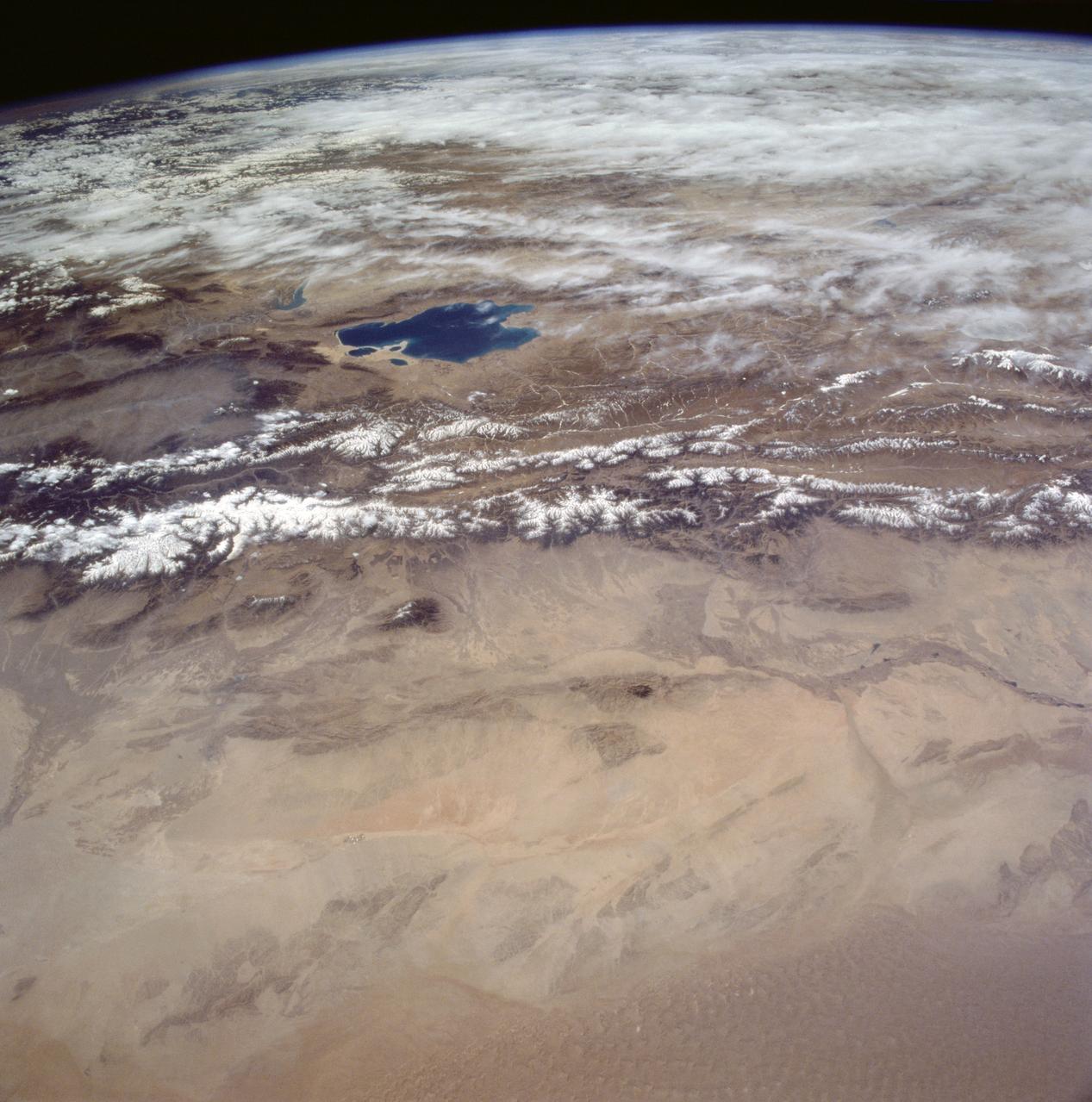
Gobi Desert, China as seen from STS-59
1994-04-14 · NASA Image and Video Library

Mojave Desert, California
1981-04-14 · NASA Image and Video Library
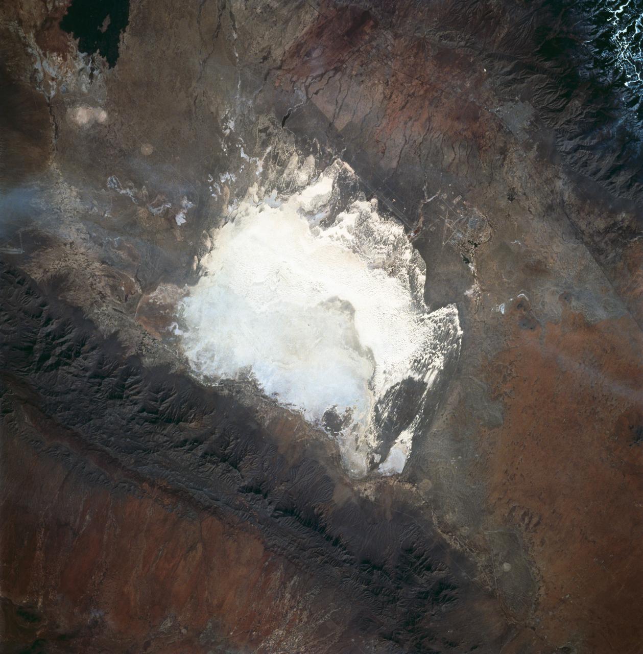
White Sands, New Mexico as seen from STS-60
1994-02-09 · NASA Image and Video Library
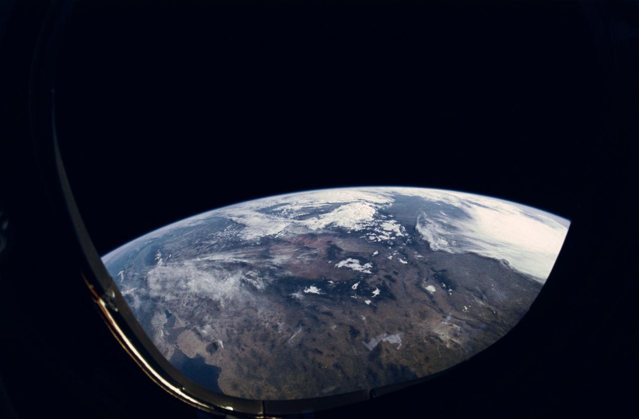
STS-31 Earth observation of western United States, Salton Sea,Imperial Valley
1990-04-29 · NASA Image and Video Library