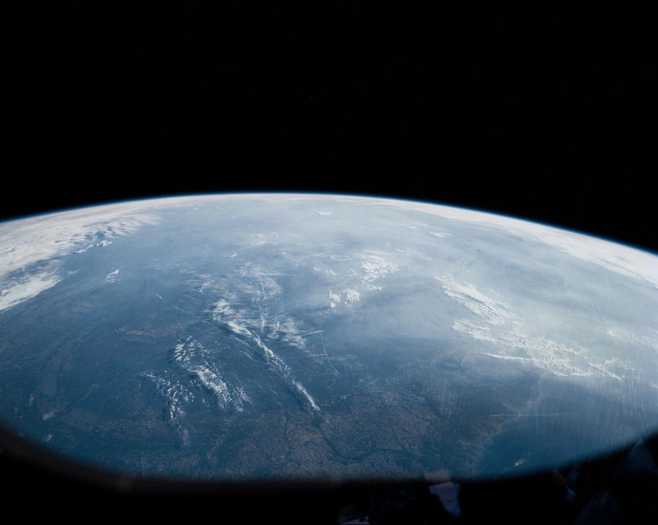
Southern Appalachia, USA
In this oblique view of the Georgia and South Carolina coast, the southern most Appalachians (32.0N, 83.0W) dominate the foreground. Contrails criss cross over Atlanta, a major airline hub. The coastal plain which wraps around the southern Appalachians, is well delineated. Faintly visible under the haze toward Earth's limb are the Great lakes (Lake Michigan near center), the folded belts of the central Appalachians and Long Island, New York.
- Date
- 1990-04-29
- Collection
- JSC
- Archive
- NASA Image and Video Library
- Type
- photograph
Public domainsafest
Reason: a NASA work: not copyrighted in the United States.
Read from: NASA media usage guidelines: NASA material is not copyrighted in the US unless noted; no third-party credit or mark found.
Credit line
"Southern Appalachia, USA" (1990-04-29). NASA/JSC. Public domain. https://images.nasa.gov/details/s31-151-113Need photos for a whole script? Add Find Any Photo to Claude and ask for this one by its id: 15366.
More like this
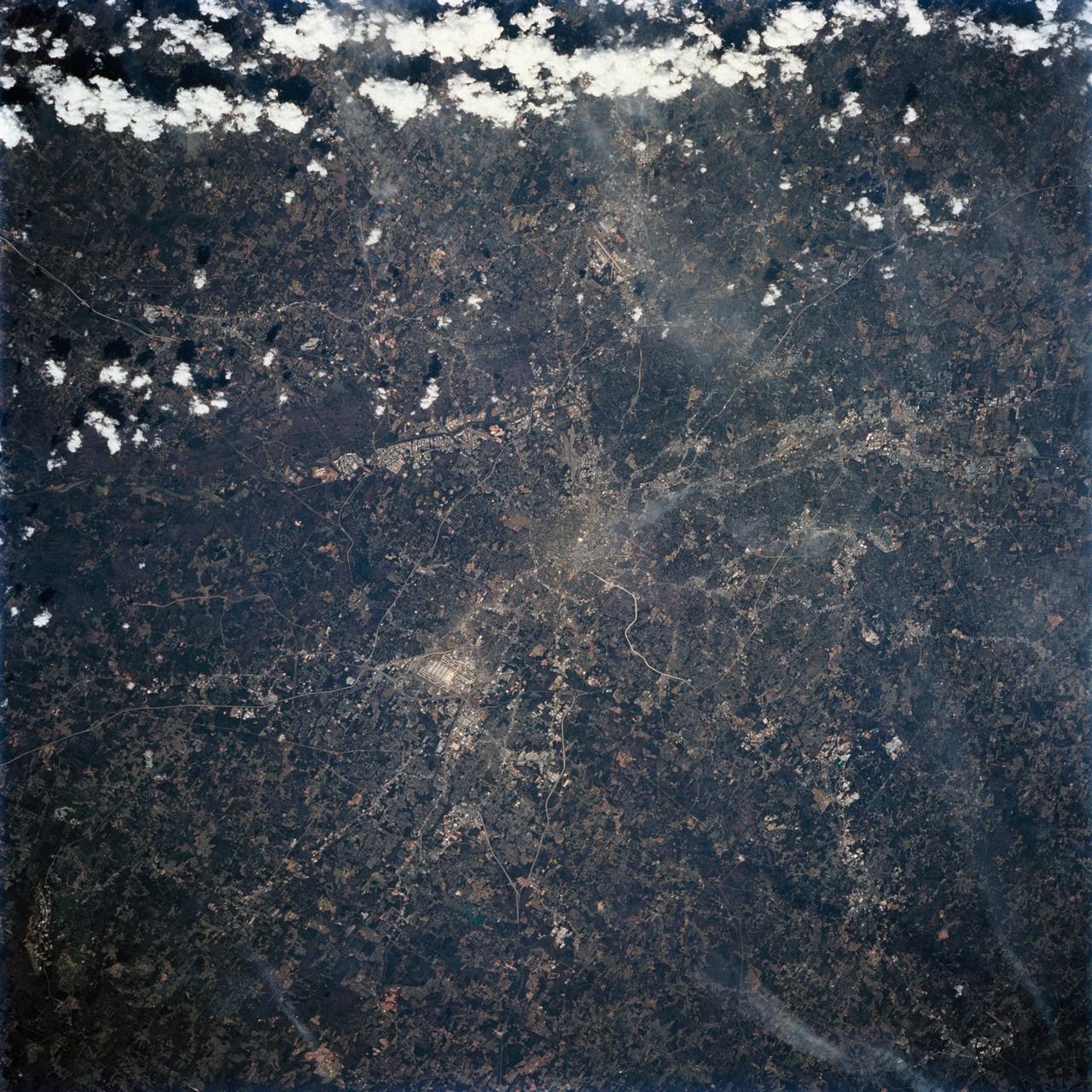
Atlanta, Georgia as seen from STS-62
1994-03-05 · NASA Image and Video Library
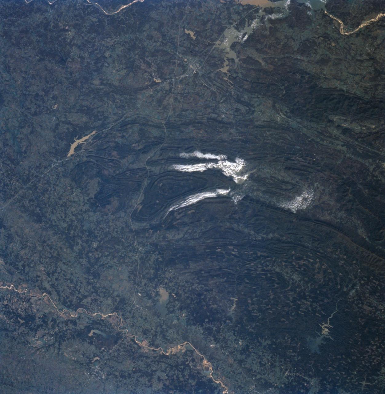
Ouachita Mountains, Oklahoma as seen from STS-58
1993-10-30 · NASA Image and Video Library
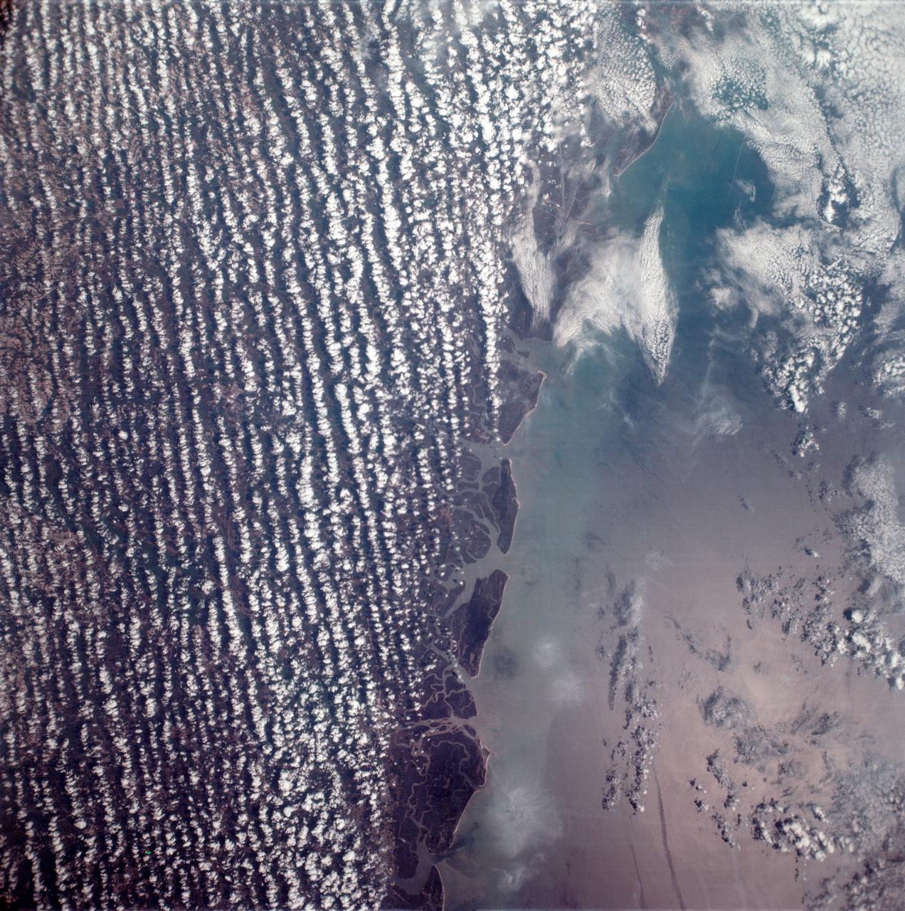
East coast of the United States seen from the Apollo 6 unmanned spacecraft
1968-04-06 · NASA Image and Video Library

West Coast, United States and Mexico
1990-04-29 · NASA Image and Video Library

Great Lakes Region, State of Michigan, USA
1991-06-14 · NASA Image and Video Library

Florida, Empty Payload Bay and Earth Limb
1991-08-11 · NASA Image and Video Library
Chesapeake Bay as seen from STS-58
1993-10-30 · NASA Image and Video Library
Nashville Basin, Tennessee as seen from STS-58
1993-10-30 · NASA Image and Video Library