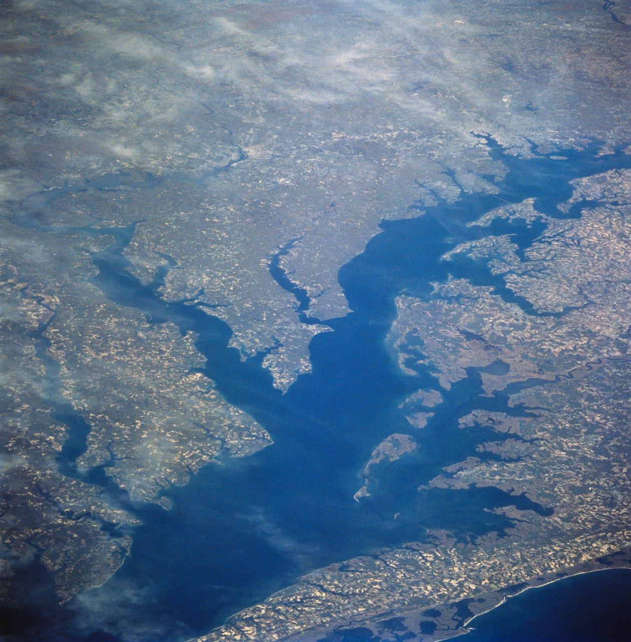
Chesapeake Bay as seen from STS-58
STS058-81-049 (18 Oct-1 Nov 1993) --- This view encompasses most of the large estuarine system of the Chesapeake Bay. The farmland and marshes of eastern shores of the Chesapeake (eastern Maryland and Virginia) are the foreground. The largest tributary flowing into the Bay is the Potomac River; Washington, D.C. is visible where the river bends to the northwest. The urban-suburban corridor between Washington, D.C. and Baltimore to the north (toward the right on this view) shows well as the gray zone which extends from left (D.C. on the Potomac) to right (Baltimore on the Patapsco River embayment on the Chesapeake, near the upper right).
- Date
- 1993-10-30
- Collection
- JSC
- Archive
- NASA Image and Video Library
- Type
- photograph
Public domainsafest
Reason: a NASA work: not copyrighted in the United States.
Read from: NASA media usage guidelines: NASA material is not copyrighted in the US unless noted; no third-party credit or mark found.
Credit line
"Chesapeake Bay as seen from STS-58" (1993-10-30). NASA/JSC. Public domain. https://images.nasa.gov/details/sts058-81-049Need photos for a whole script? Add Find Any Photo to Claude and ask for this one by its id: 15345.
More like this
Chesapeake Bay, Potomac River
1973-06-22 · NASA Image and Video Library
Earth observations taken from Space Shuttle Columbia during STS-78 mission
1996-06-26 · NASA Image and Video Library
Earth observations taken from Space Shuttle Columbia during STS-78 mission
1996-06-28 · NASA Image and Video Library
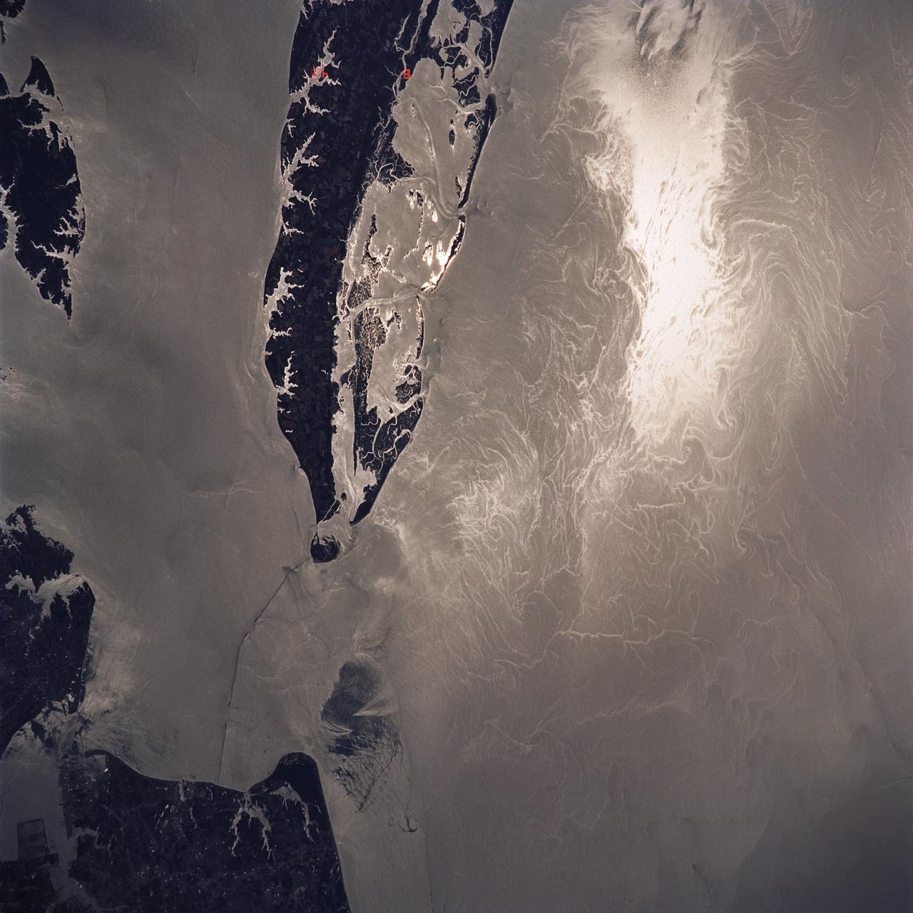
Water Surface Turbulance and Internal Waves, Norfolk, VA, USA
1991-06-14 · NASA Image and Video Library
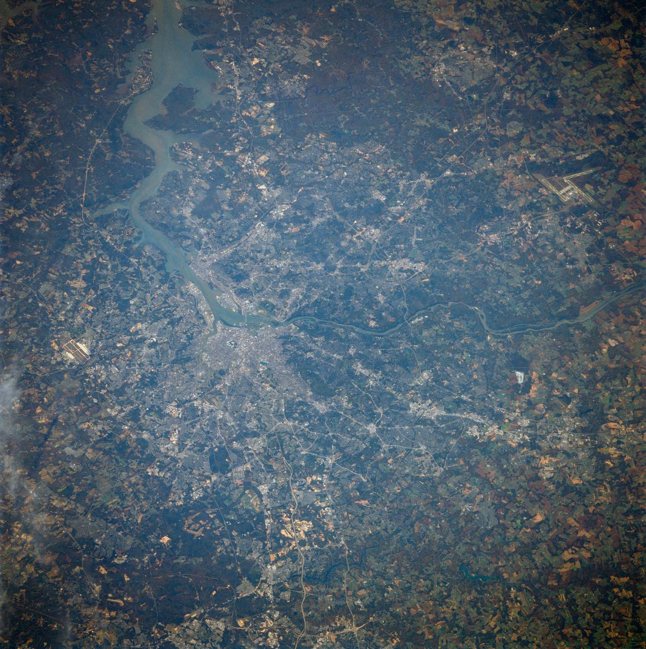
Washington, D.C. USA
1984-10-13 · NASA Image and Video Library
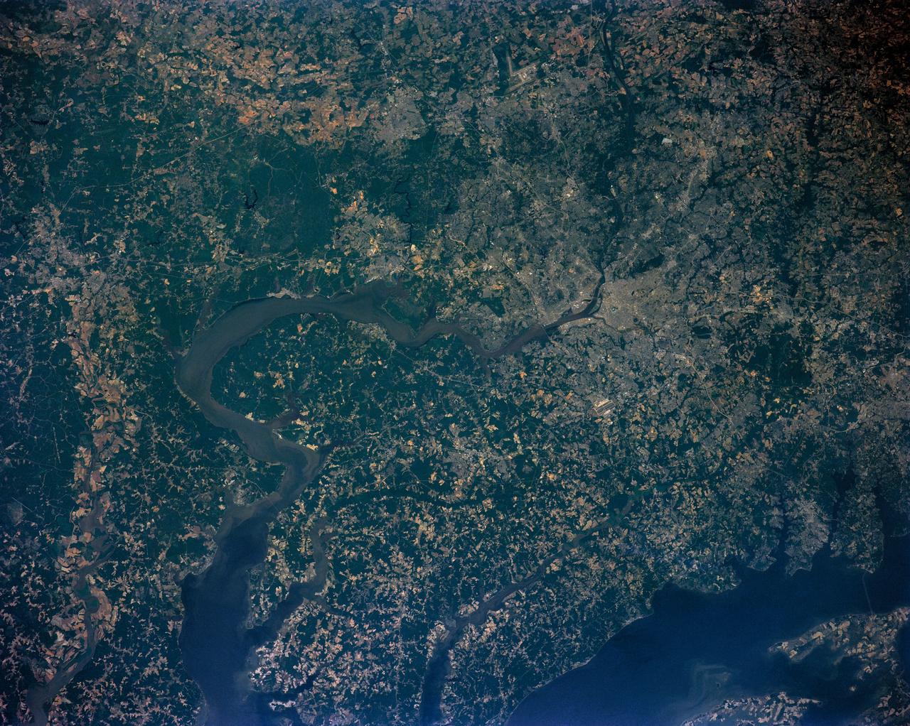
Washington D.C. region, USA
1991-06-14 · NASA Image and Video Library
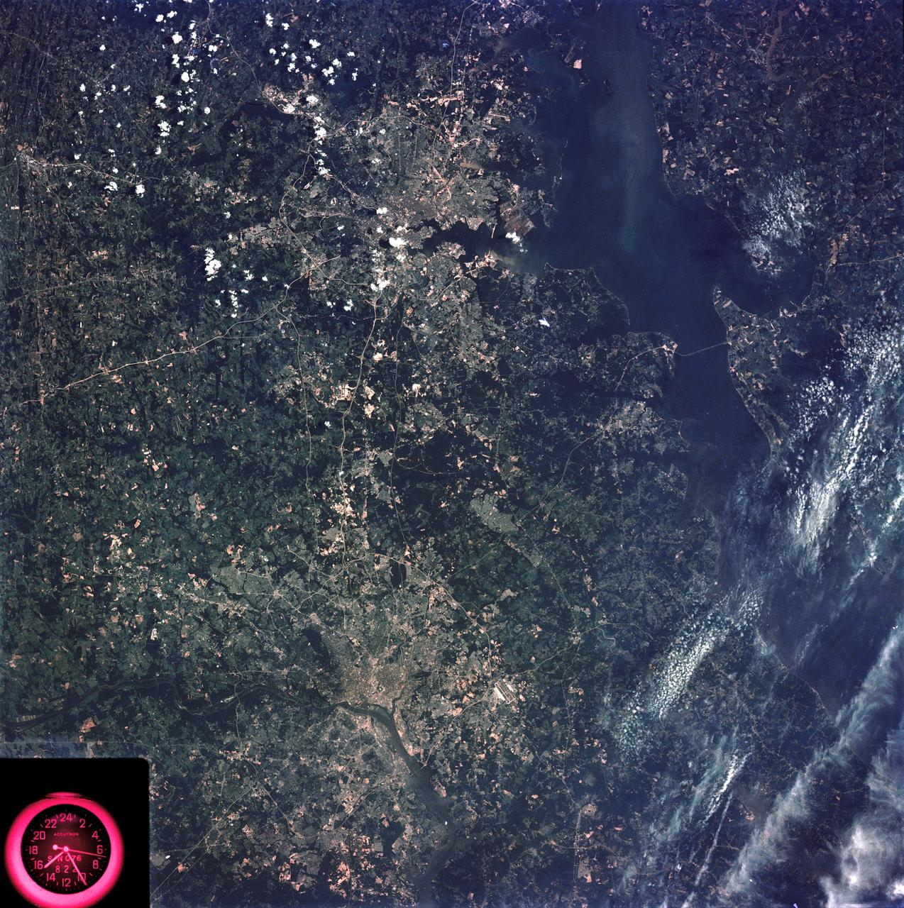
Washington, D.C. and the Baltimore, Maryland area
1973-08-15 · NASA Image and Video Library
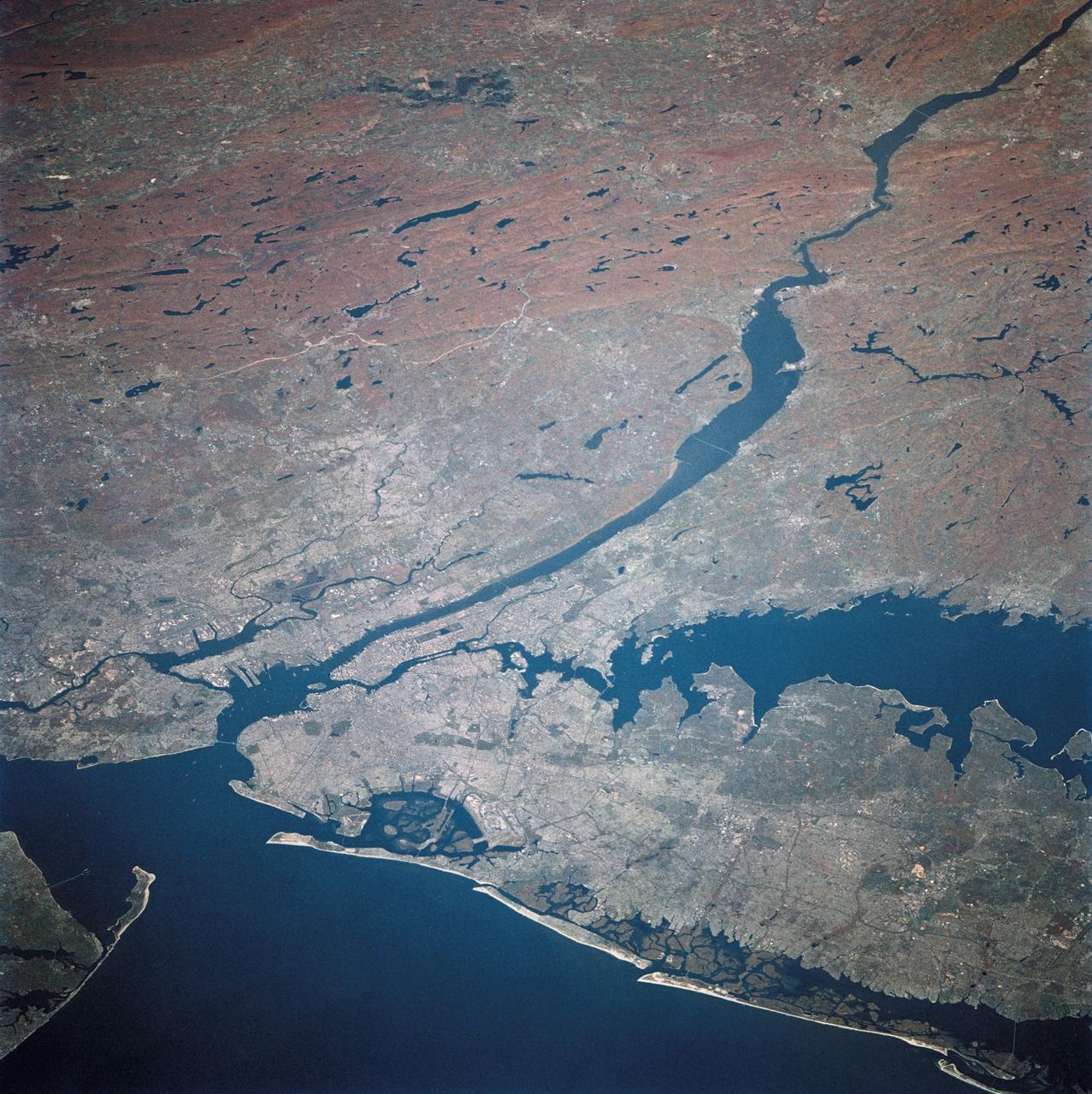
New York and New Jersey as seen from STS-58
1993-10-30 · NASA Image and Video Library