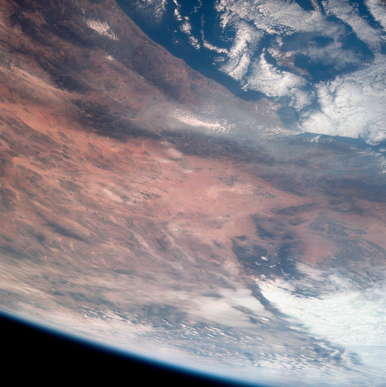
Southern California as seen from the Apollo 7 spacecraft
This view of southern California as seen from the Apollo 7 spacecraft during its 18th revolution of the earth. Photographed from an altitude of 124 nautical miles. The coast of California can be seen from Point Mugu southward to Oceanside. Santa Catalina can be seen below the off shore clouds. Details of the Los Angeles area are obscured by pollution which extends from Banning westard for 100 miles to beyond Malibu. In the upper portion of the photograph can be seen (left to right) the San Joaquin Valley beyond Bakersfield, the Techachapi Mountains, the Sierra Nevada, Owens Valley, Death Valley and the Mojave Desert.
- Date
- 1968-10-12
- Collection
- JSC
- Archive
- NASA Image and Video Library
- Type
- photograph
Public domainsafest
Reason: a NASA work: not copyrighted in the United States.
Read from: NASA media usage guidelines: NASA material is not copyrighted in the US unless noted; no third-party credit or mark found.
Credit line
"Southern California as seen from the Apollo 7 spacecraft" (1968-10-12). NASA/JSC. Public domain. https://images.nasa.gov/details/as07-11-2022Need photos for a whole script? Add Find Any Photo to Claude and ask for this one by its id: 15379.
More like this

Los Angeles-Long Beach area of Southern California as seen from Apollo 9
1969-03-09 · NASA Image and Video Library
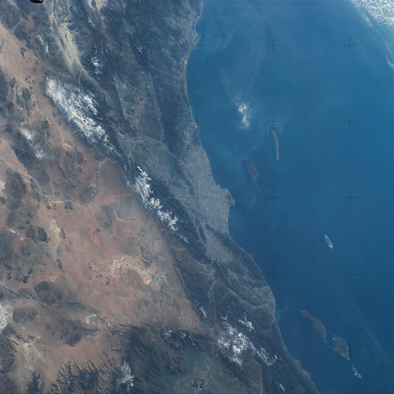
Pacific Coast of Southern California including Los Angeles and San Diego
1974-02-01 · NASA Image and Video Library
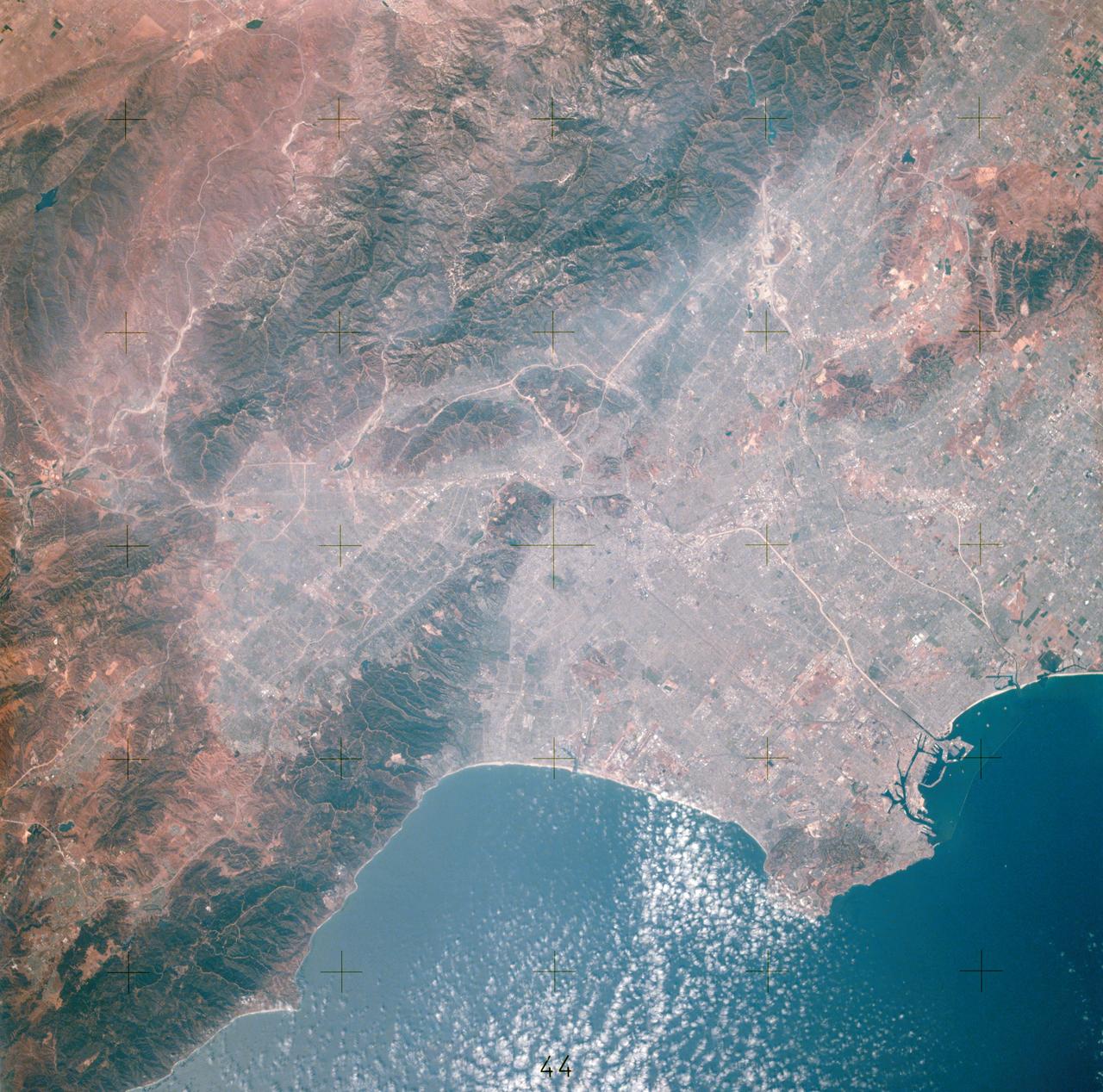
View of Los Angeles, California area
1975-07-16 · NASA Image and Video Library
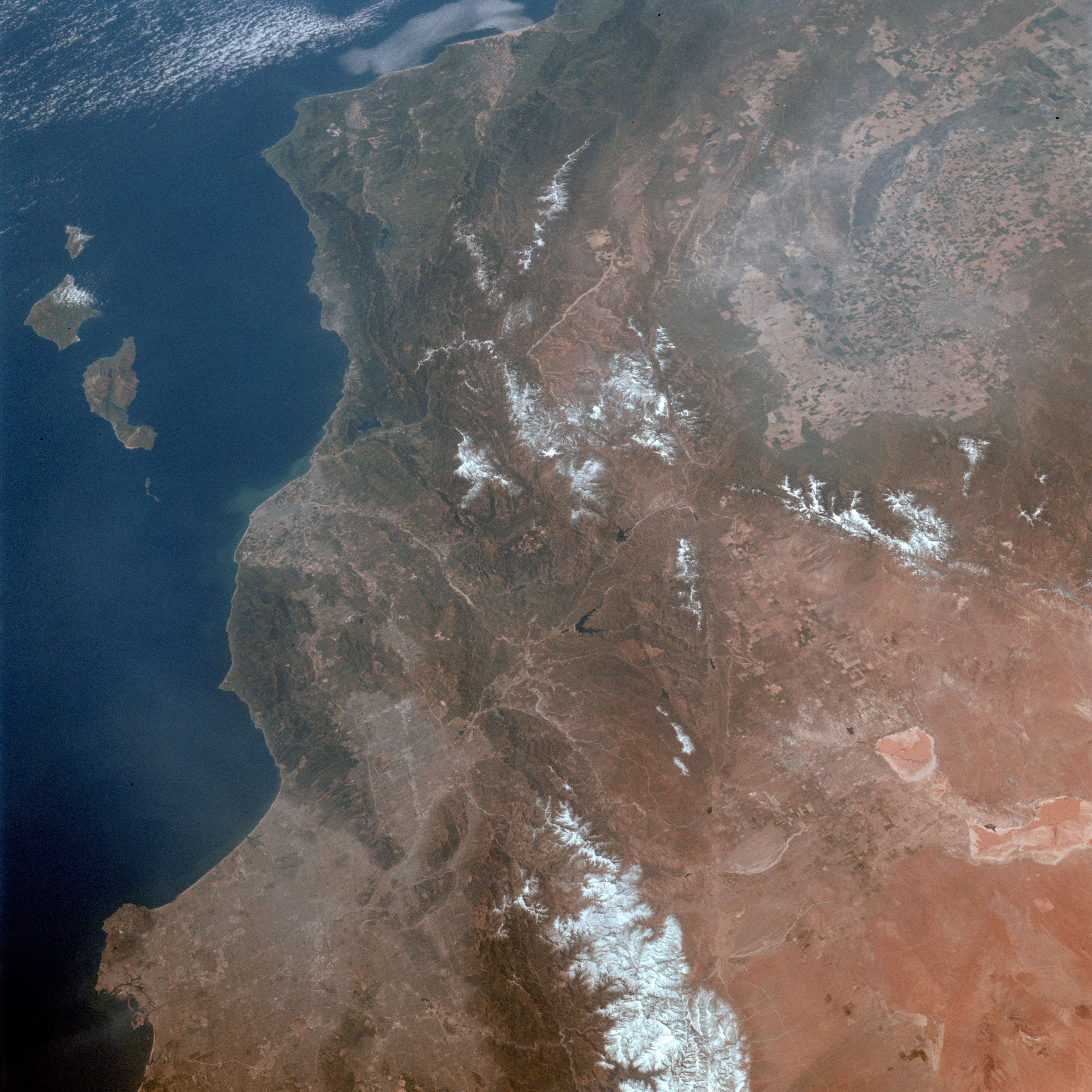
Los Angeles, CA.
1992-03-30 · NASA Image and Video Library

Pacific coast southwestern Mexico as seen from the Apollo 7 spacecraft
1968-10-13 · NASA Image and Video Library
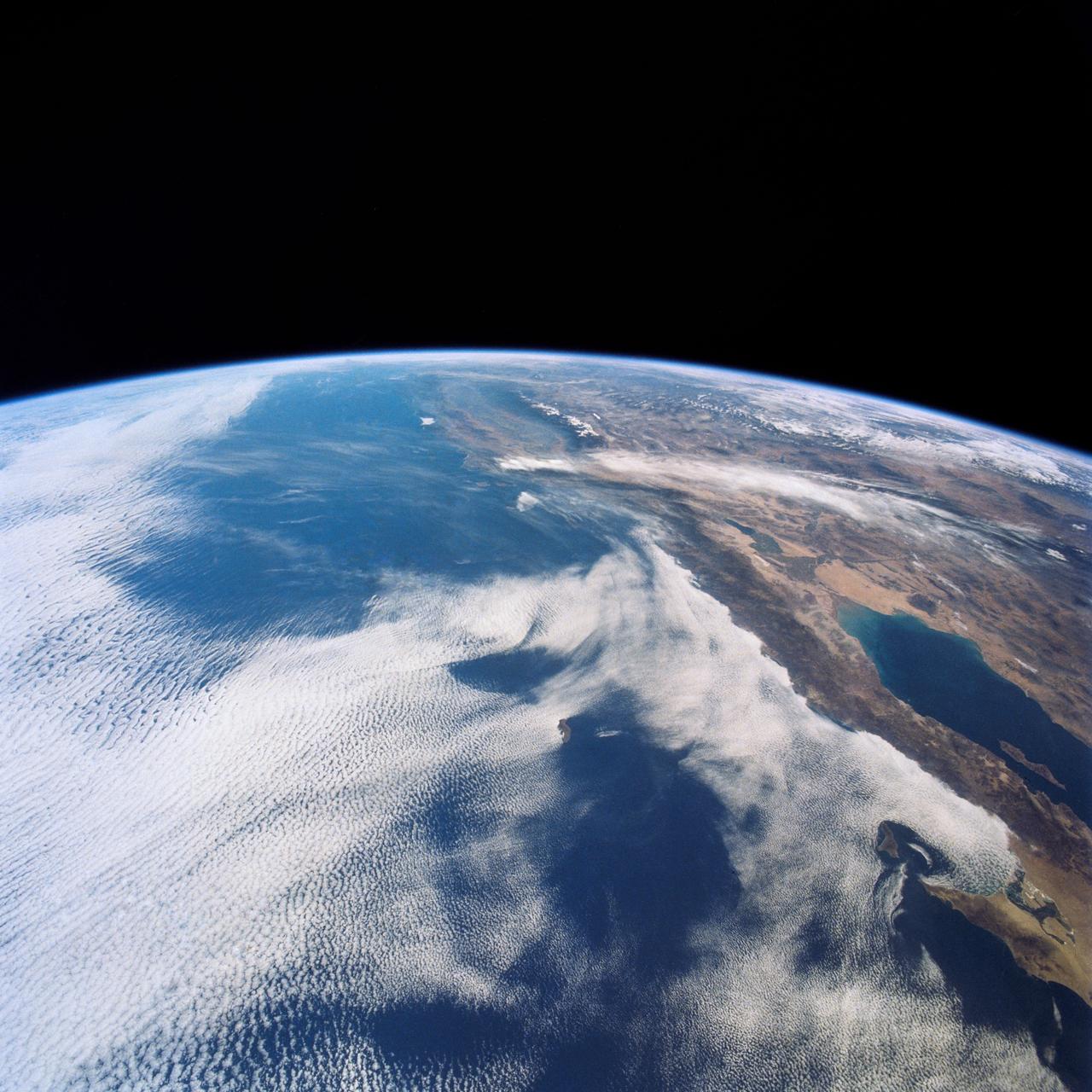
West Coast, United States and Mexico
1990-04-29 · NASA Image and Video Library
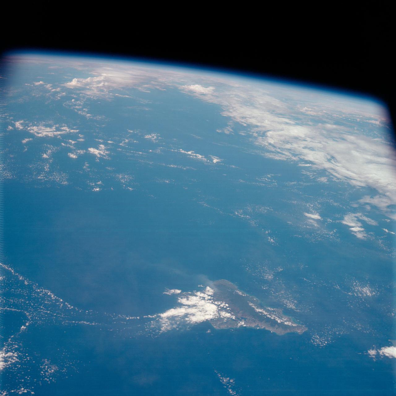
Island of Oahu, State of Hawaii, as seen from the Apollo 7 spacecraft
1968-10-14 · NASA Image and Video Library
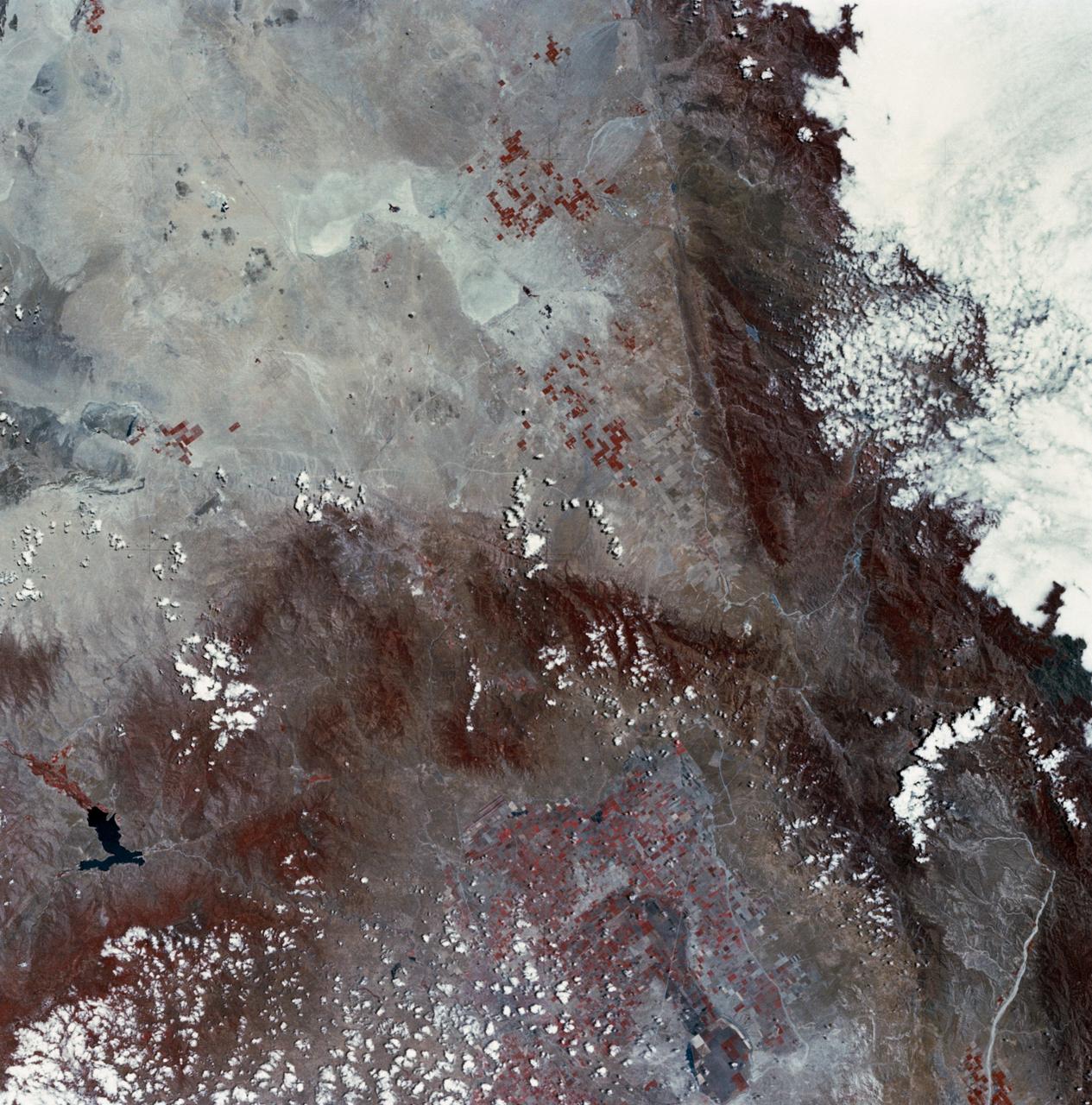
Mojave Desert, California
1973-06-22 · NASA Image and Video Library