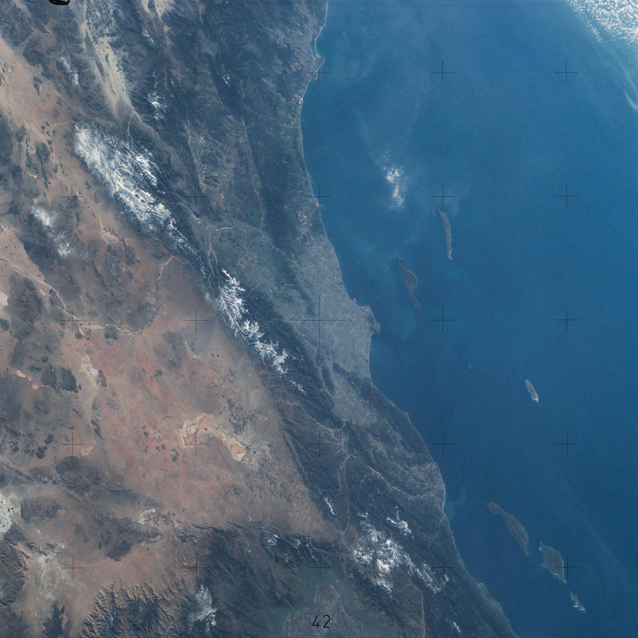
Pacific Coast of Southern California including Los Angeles and San Diego
SL4-142-4542 (November 1973-February 1974) --- An oblique view of the Pacific Coast of Southern California, including the Los Angeles and San Diego areas, as seen from the Skylab space station in Earth orbit. This picture was taken by one of the Skylab 4 crewmen using a hand-held 70mm Hasselblad camera with a 100mm lens and SO-368 medium-speed Ektachrome film. The visible coastline extends from San Diego northwesterly to Santa Barbara. The Mojave Desert occupies much of the photograph. This view also includes the Channel Islands off the coast. Note that the higher elevations of the mountains are covered with snow. Photo credit: NASA
- Date
- 1974-02-01
- Collection
- JSC
- Archive
- NASA Image and Video Library
- Type
- photograph
Public domainsafest
Reason: a NASA work: not copyrighted in the United States.
Read from: NASA media usage guidelines: NASA material is not copyrighted in the US unless noted; no third-party credit or mark found.
Credit line
"Pacific Coast of Southern California including Los Angeles and San Diego" (1974-02-01). NASA/JSC. Public domain. https://images.nasa.gov/details/sl4-142-4542Need photos for a whole script? Add Find Any Photo to Claude and ask for this one by its id: 13819.
More like this
Northwestern Mexico as photographed from Skylab
1975-01-27 · NASA Image and Video Library

Los Angeles-Long Beach area of Southern California as seen from Apollo 9
1969-03-09 · NASA Image and Video Library
Southern California as seen from the Apollo 7 spacecraft
1968-10-12 · NASA Image and Video Library
Los Angeles, CA.
1992-03-30 · NASA Image and Video Library
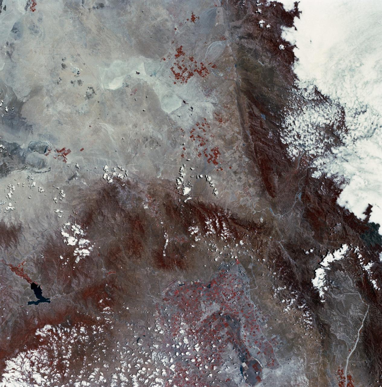
Mojave Desert, California
1973-06-22 · NASA Image and Video Library
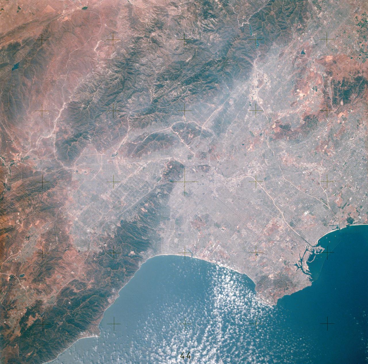
View of Los Angeles, California area
1975-07-16 · NASA Image and Video Library
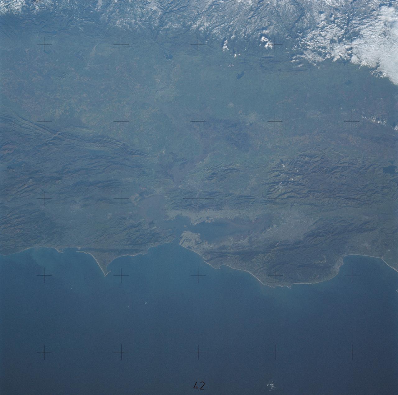
Northern California near San Francisco
1974-01-01 · NASA Image and Video Library
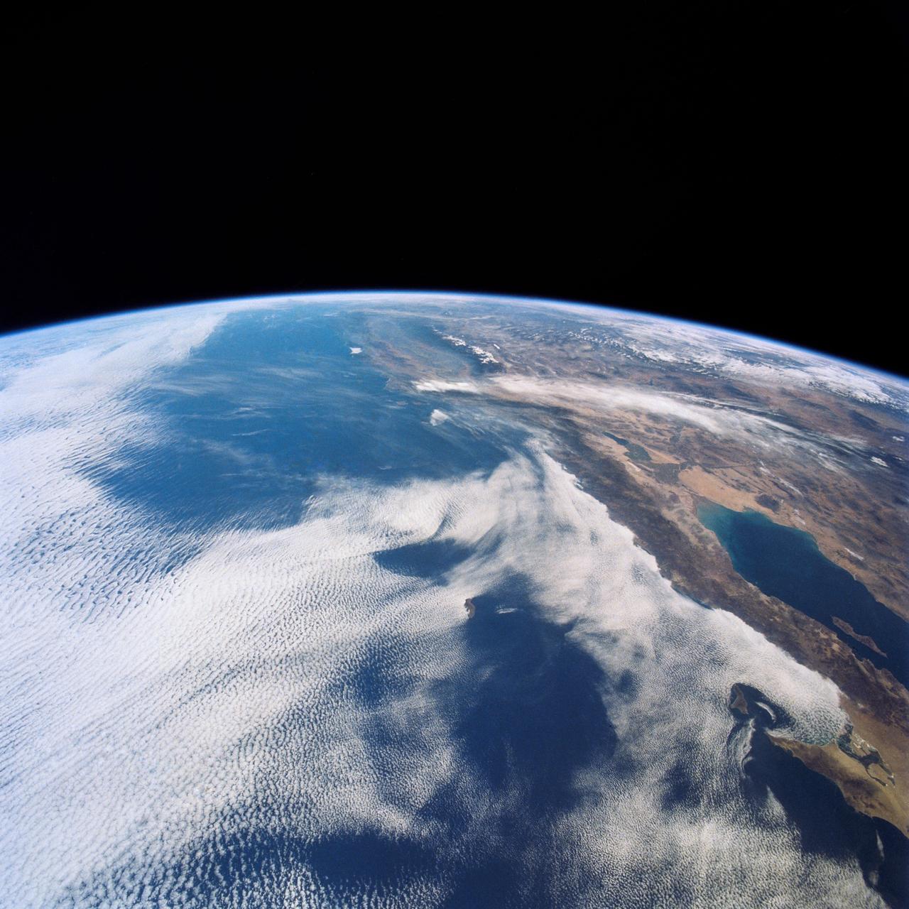
West Coast, United States and Mexico
1990-04-29 · NASA Image and Video Library