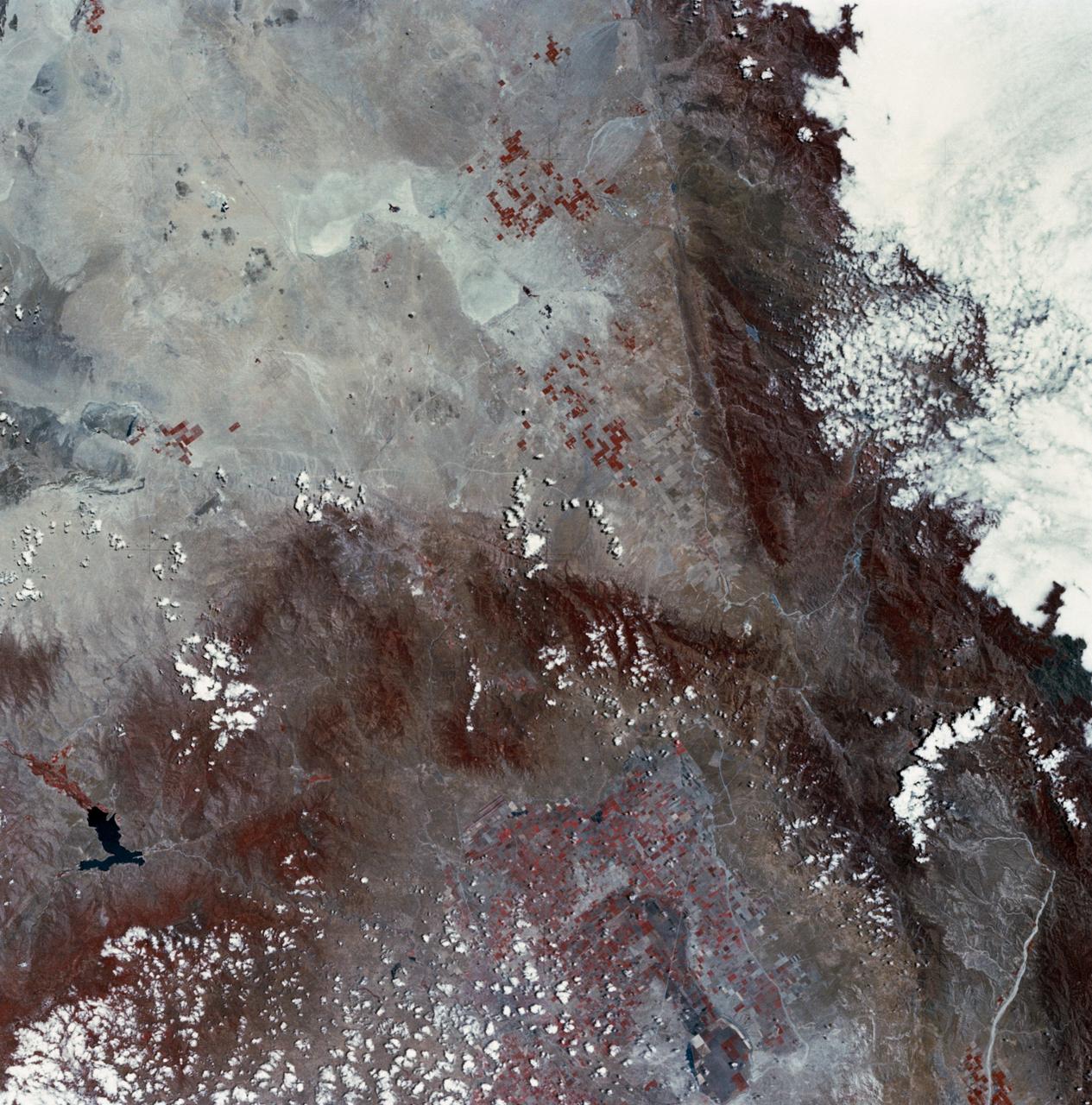
Mojave Desert, California
SL2-03-126 (June 1973) --- A color infrared photograph of the Los Angeles County and Kern County area, taken from the Skylab space station in Earth orbit during its first manned Skylab mission. The Mojave Desert occupies the northeast one-fourth of the photograph. Lake Isabella in the Sierra Nevada Mountains is the v-shaped body of water. The San Gabriel Mountains extend across the southern part of the picture. At lower center is the intersection of the San Andreas and Garlock faults. The San Joaquin Valley is in the center at the left edge. (The picture should be held with the heavy cloud cover at lower right corner so that north will be at top.) This picture was exposed by one of the six lenses of the Itek-furnished S190-A Multispectral Photographic Facility experiment in the Multiple Docking Adapter of the Skylab space station. Type 2443 film was used. Photo credit: NASA
- Date
- 1973-06-22
- Collection
- JSC
- Archive
- NASA Image and Video Library
- Type
- photograph
Public domainsafest
Reason: a NASA work: not copyrighted in the United States.
Read from: NASA media usage guidelines: NASA material is not copyrighted in the US unless noted; no third-party credit or mark found.
Credit line
"Mojave Desert, California" (1973-06-22). NASA/JSC. Public domain. https://images.nasa.gov/details/SL2-03-126Need photos for a whole script? Add Find Any Photo to Claude and ask for this one by its id: 13836.
More like this

Mojave Desert, California
1981-04-14 · NASA Image and Video Library
Los Angeles, CA.
1992-03-30 · NASA Image and Video Library
Pacific Coast of Southern California including Los Angeles and San Diego
1974-02-01 · NASA Image and Video Library
Lake Mead, NV
1973-06-22 · NASA Image and Video Library
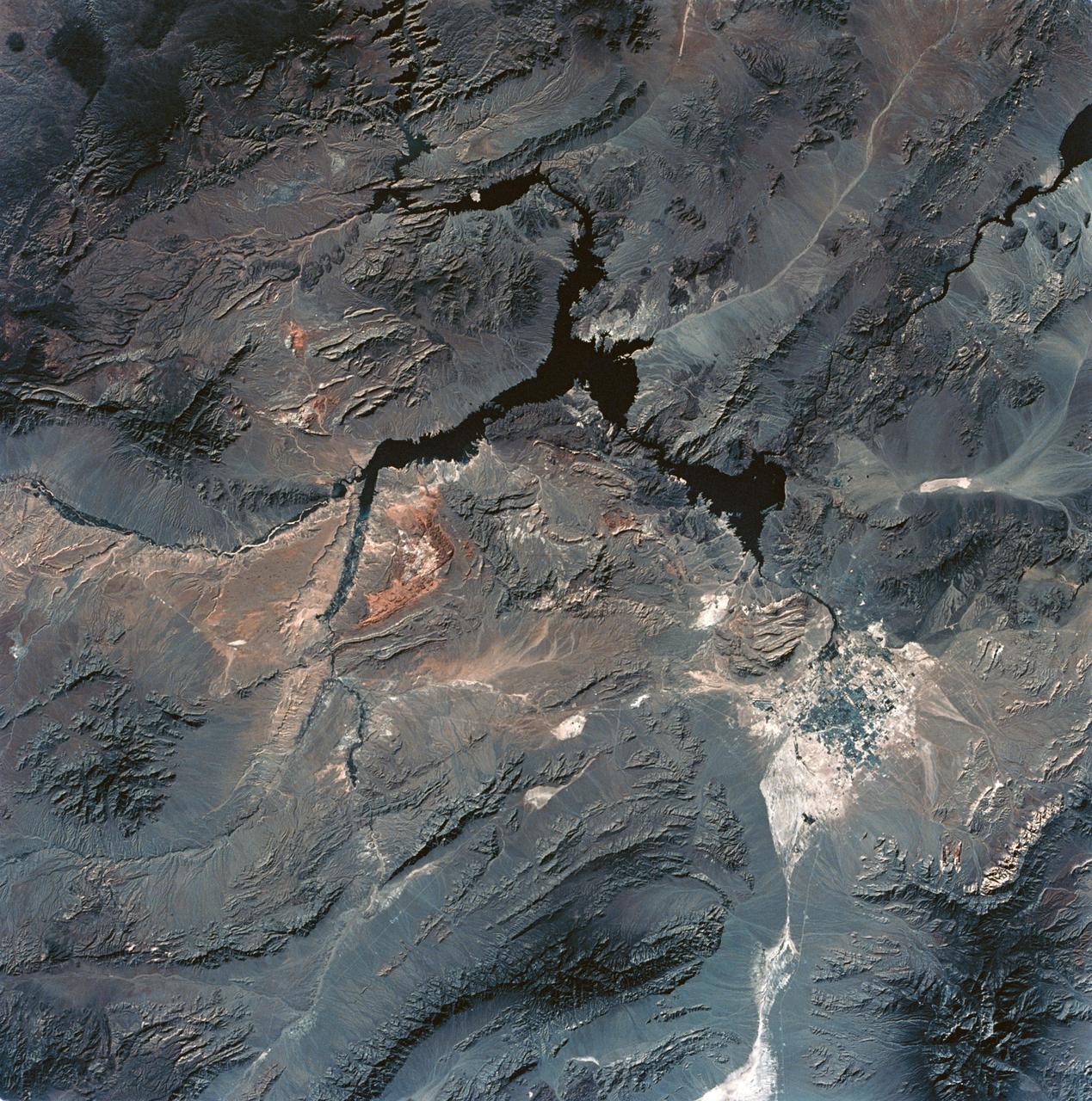
View of Lake Mead and Las Vegas, Nevada area from Sklyab
1973-08-01 · NASA Image and Video Library
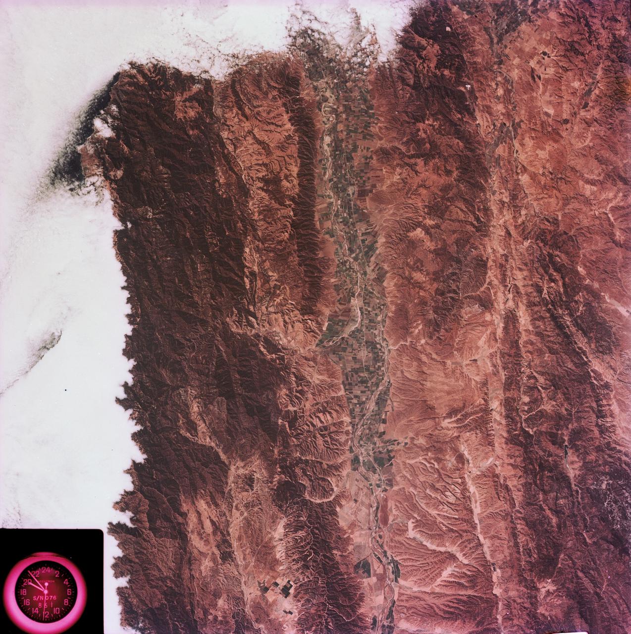
View of the Salinas River Valley area south of Monterey Bay, California
1973-08-15 · NASA Image and Video Library
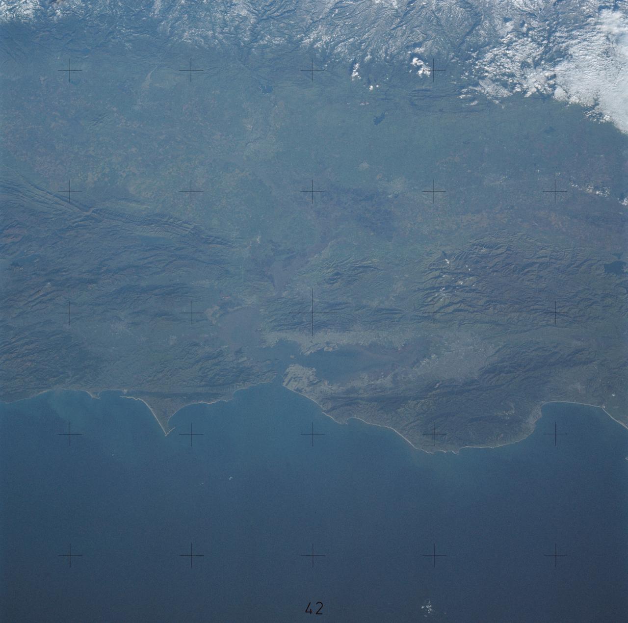
Northern California near San Francisco
1974-01-01 · NASA Image and Video Library
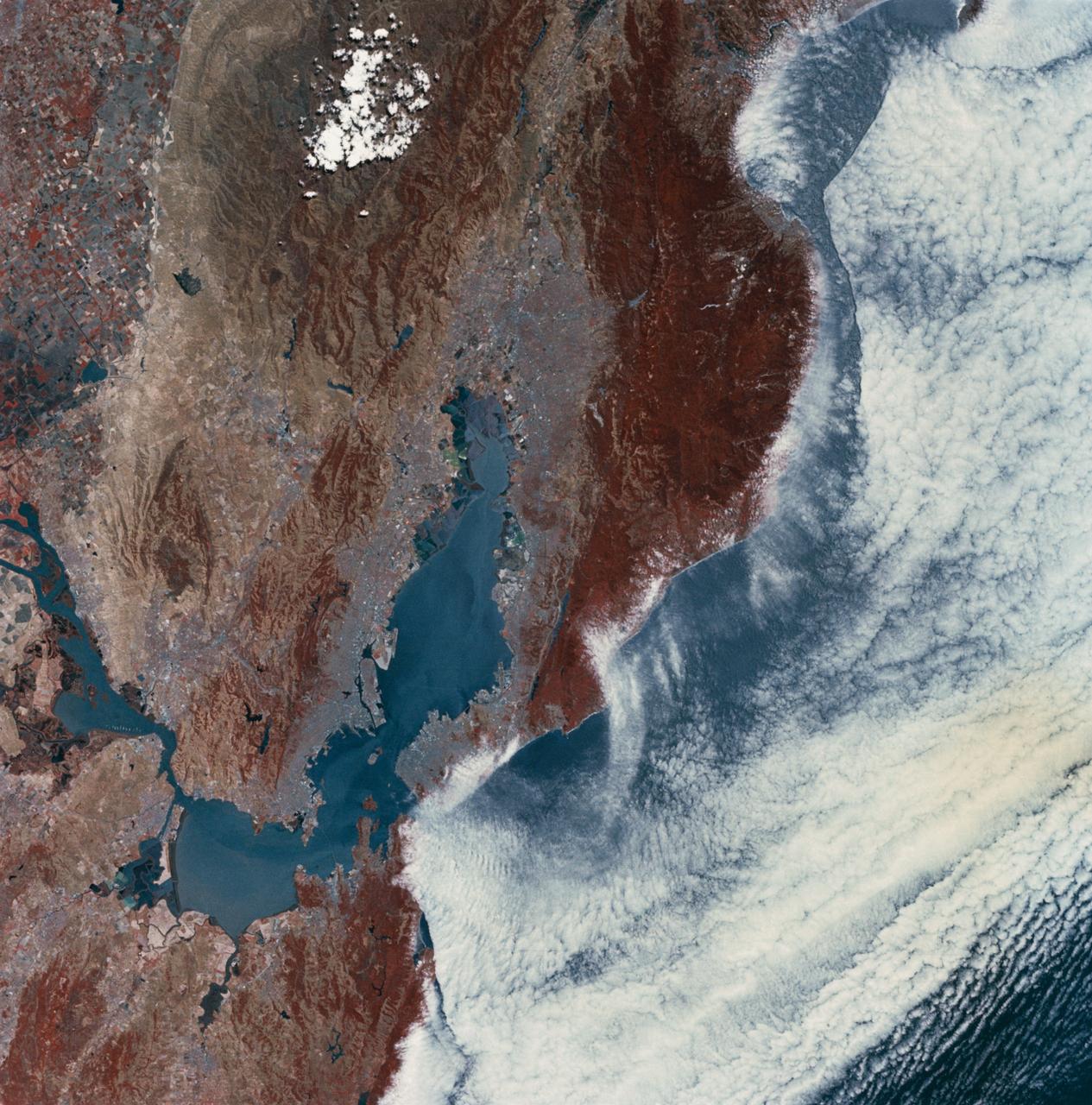
San Francisco and Bay Area, CA, USA
1973-06-22 · NASA Image and Video Library