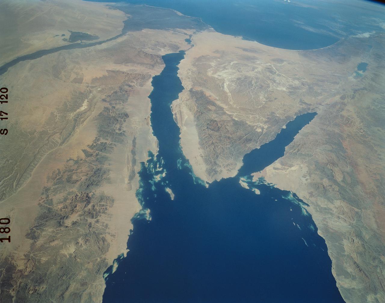
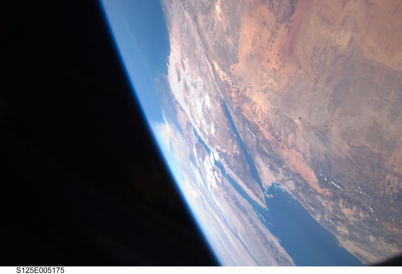
Panoramic Sinai Peninsula, Red Sea
An excellent panoramic view of the entire Sinai Peninsula (29.0N, 34.0E) and the nearby Nile River Delta and eastern Mediterranean coastal region. The Suez Canal, at the top of the scene just to the right of the Delta, connects the Mediterranean Sea with the Gulf of Suez on the west side of the Sinai Peninsula and the Gulf of Aqaba is on the west where they both flow into the Red Sea. At upper right, is the Dead Sea, Jordan River and Lake Tiberius.
- Date
- 1984-10-13
- Collection
- JSC
- Archive
- NASA Image and Video Library
- Type
- photograph
Public domainsafest
Reason: a NASA work: not copyrighted in the United States.
Read from: NASA media usage guidelines: NASA material is not copyrighted in the US unless noted; no third-party credit or mark found.
Credit line
"Panoramic Sinai Peninsula, Red Sea" (1984-10-13). NASA/JSC. Public domain. https://images.nasa.gov/details/41g-120-180Need photos for a whole script? Add Find Any Photo to Claude and ask for this one by its id: 15459.
More like this
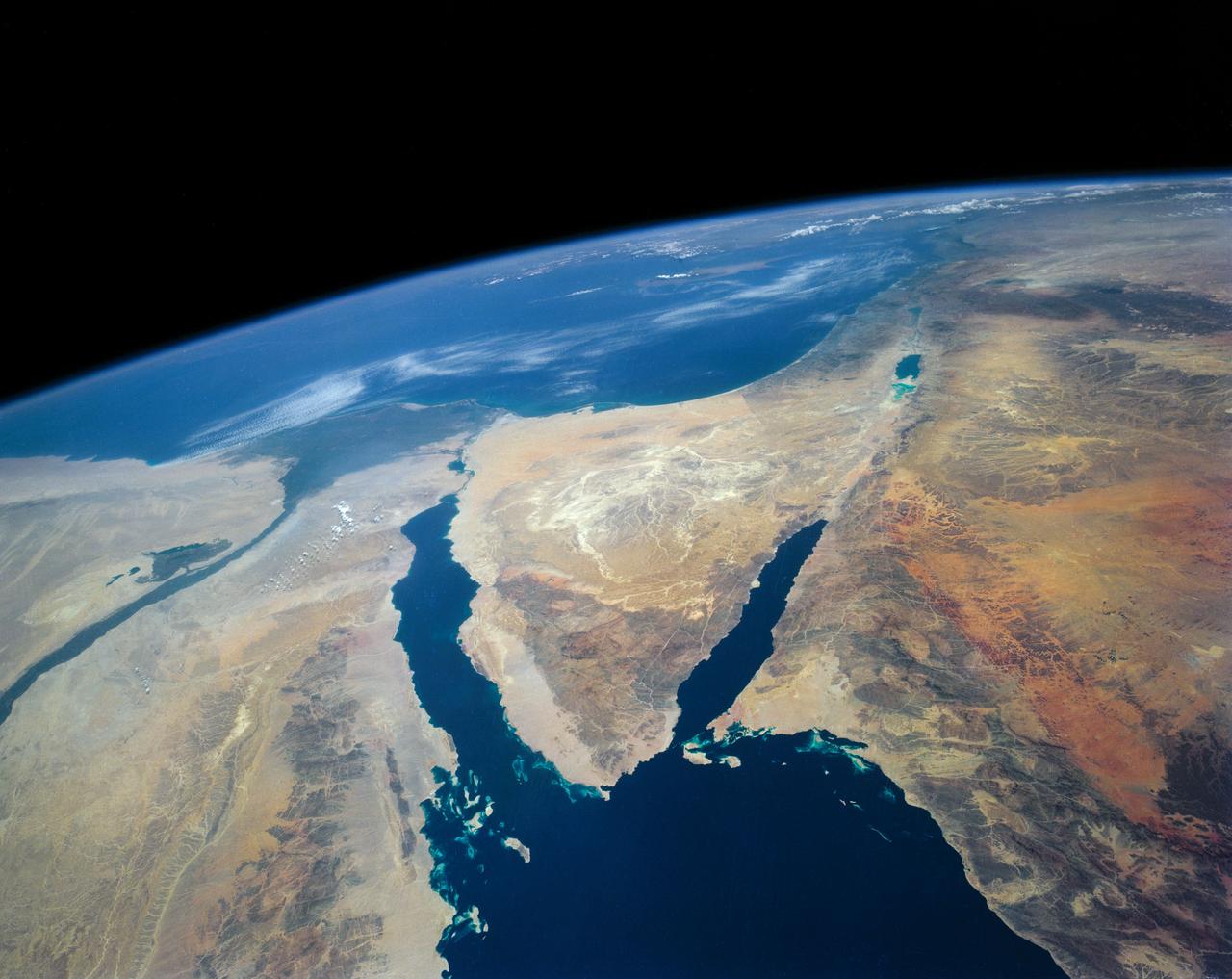
Southeastern Mediterranean Panorama
1991-06-14 · NASA Image and Video Library
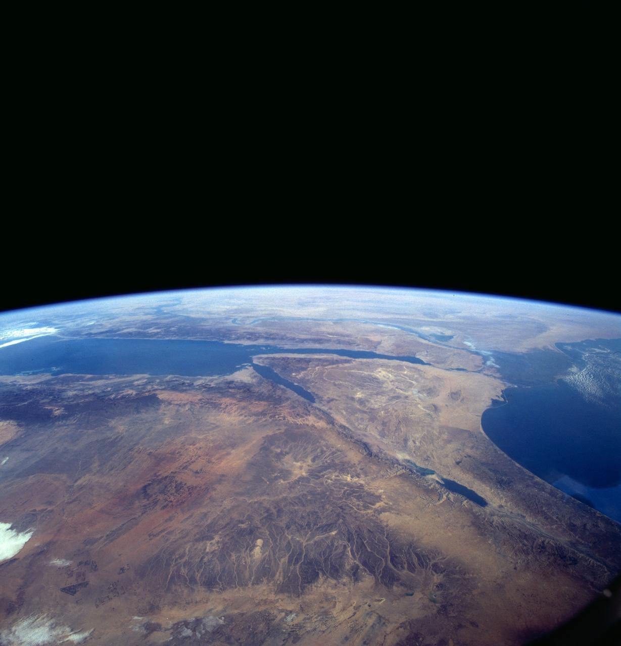
Sinai Peninsula, Middle East as seen from STS-66 orbiter Atlantis
1994-11-14 · NASA Image and Video Library
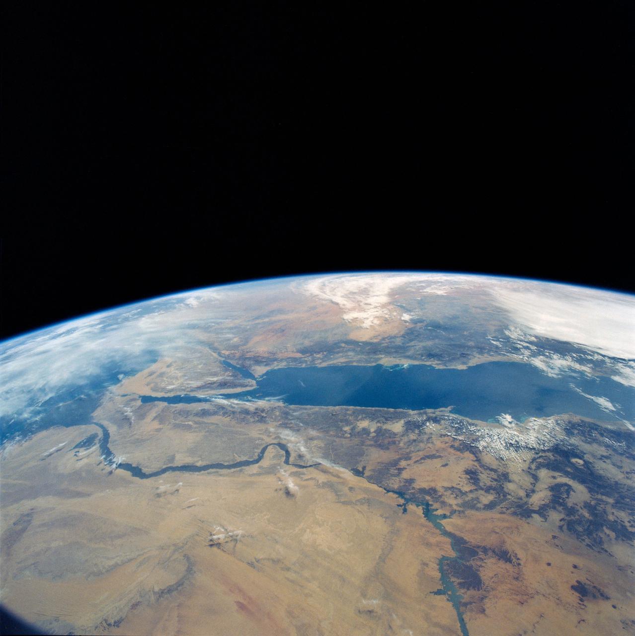
Eastern Egypt, Red Sea and Saudi Arabia
1990-04-29 · NASA Image and Video Library
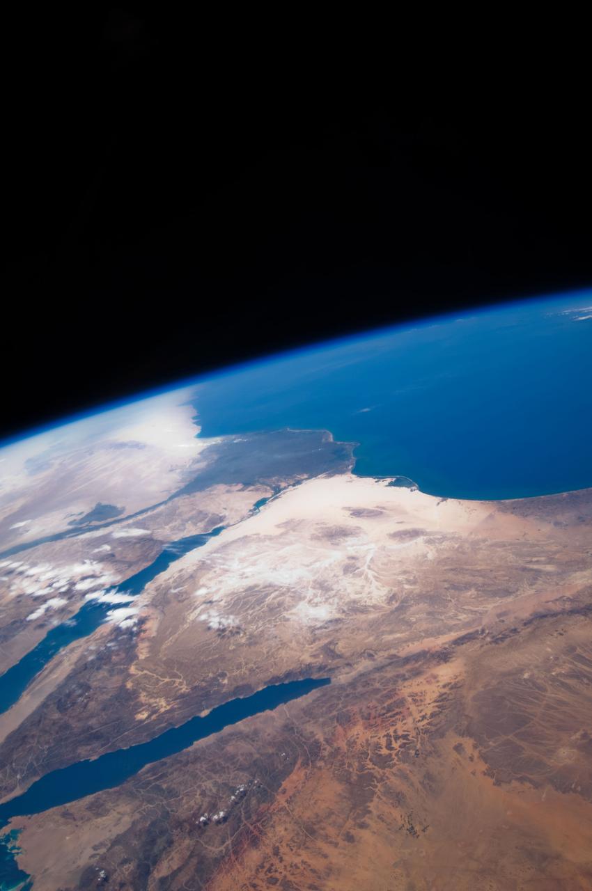
Earth Observation taken by the STS-125 Crew
2009-05-12 · NASA Image and Video Library
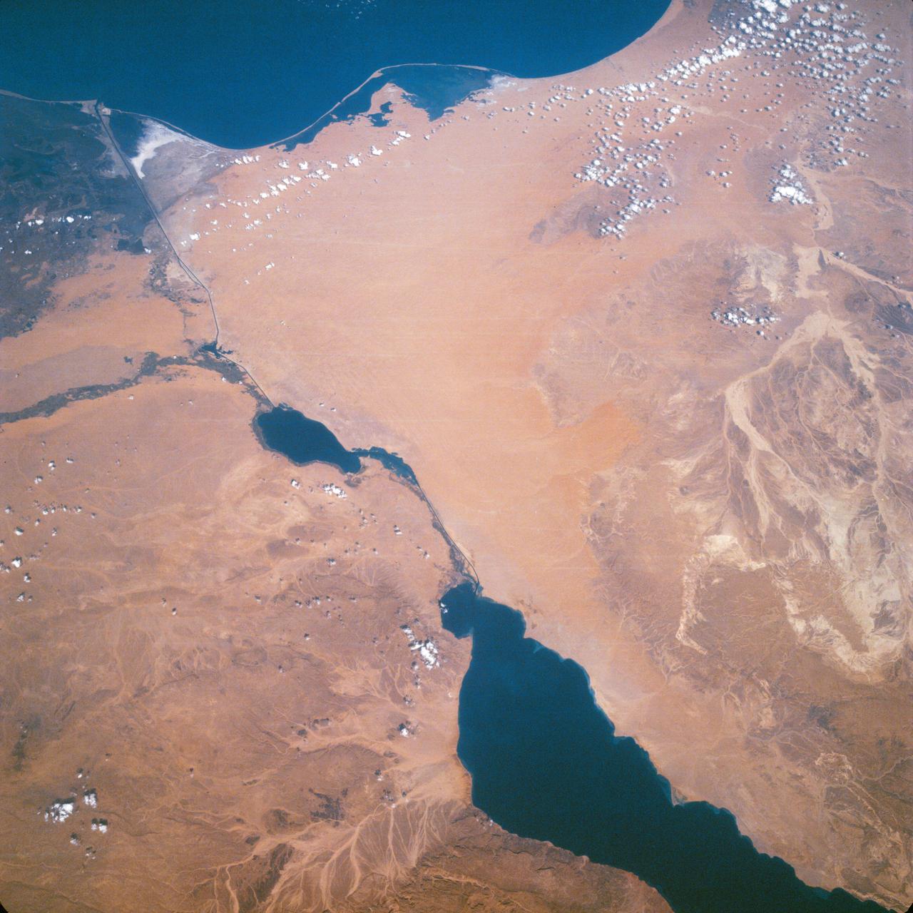
Suez Canal, Gulf of Suez, Sinai Peninsula, Egypt, as seen from the Apollo 7
1968-10-12 · NASA Image and Video Library
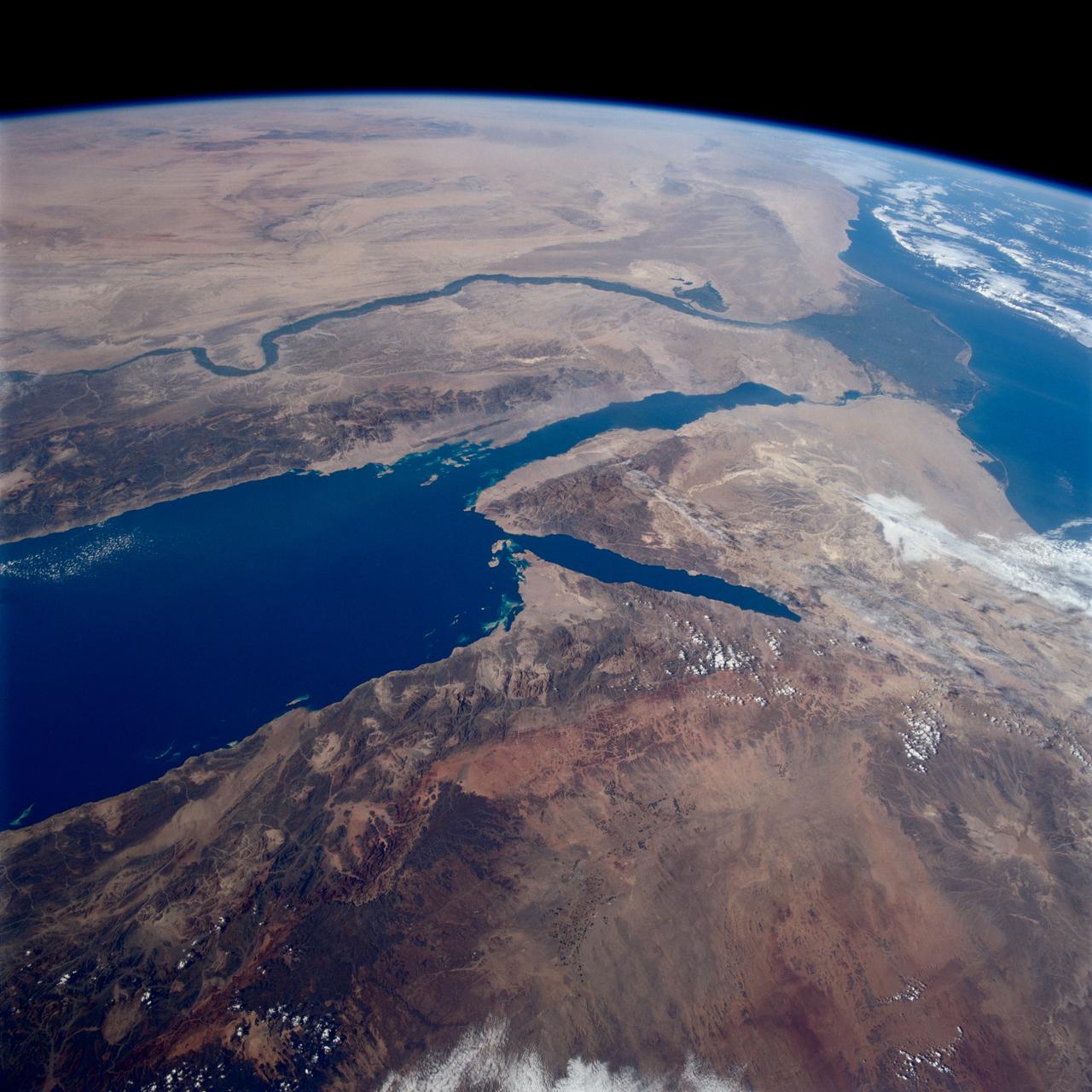
Earth observations taken from Space Shuttle Columbia during STS-80 mission
1996-11-28 · NASA Image and Video Library
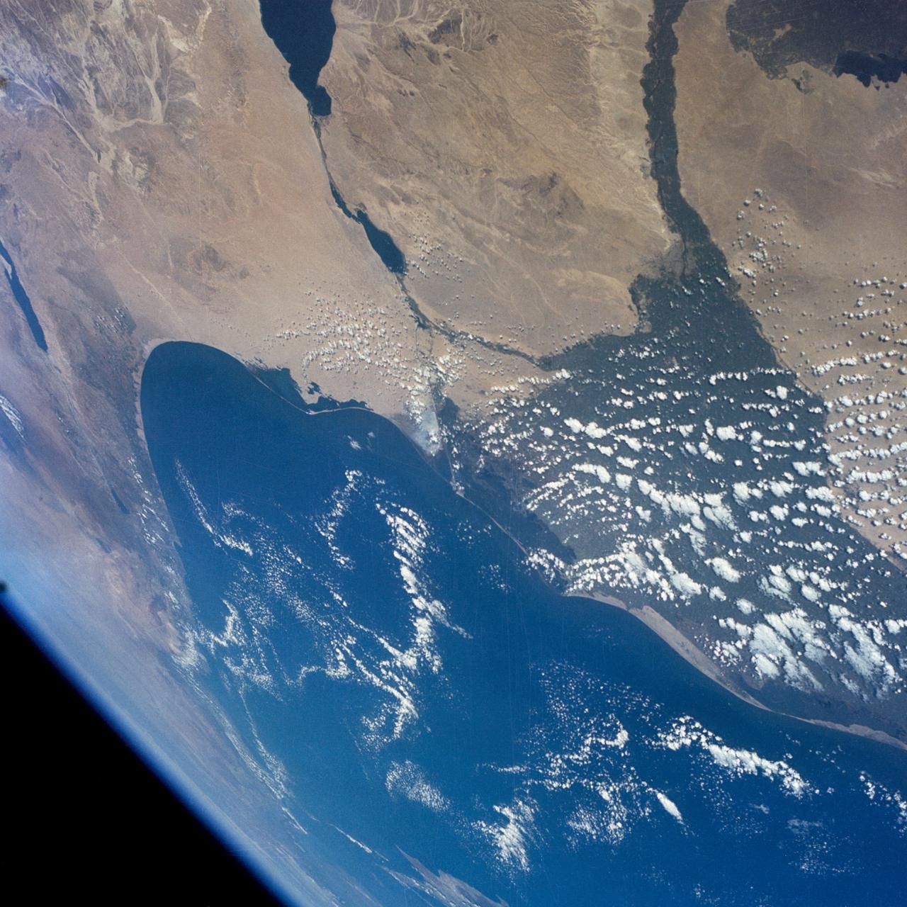
GEMINI-7 - EARTH-SKY VIEW - MIDDLE-EAST AREA - OUTER SPACE
1965-12-08 · NASA Image and Video Library
Earth Observation taken by the STS-125 Crew
2009-05-12 · NASA Image and Video Library