
Temperature Map, "Bonneville Crater" (1:35 p.m.)
Rates of change in surface temperatures during a martian day indicate differences in particle size in and near "Bonneville Crater." This image is the third in a series of five with color-coded temperature information from different times of day. This one is from 1:35 p.m. local solar time at the site where NASA's Mars Exploration Rover Spirit is exploring Mars. Temperature information from Spirit's miniature thermal emission spectrometer is overlaid onto a view of the site from Spirit's panoramic camera. In this color-coded map, quicker reddening during the day suggests sand or dust. (Red is about 270 Kelvin or 27 degrees Fahrenheit.) An example of this is in the shallow depression in the right foreground. Areas that stay blue longer into the day have larger rocks. (Blue indicates about 230 Kelvin or minus 45 Degrees F.) An example is the rock in the left foreground. http://photojournal.jpl.nasa.gov/catalog/PIA05930
- Date
- 2004-05-17
- Photographer / author
- NASA/JPL/Cornell/ASU
- Collection
- JPL
- Archive
- NASA Image and Video Library
- Type
- photograph
Public domainsafest
Reason: a NASA work: not copyrighted in the United States.
Read from: NASA media usage guidelines: NASA material is not copyrighted in the US unless noted; no third-party credit or mark found.
Credit line
"Temperature Map, "Bonneville Crater" (1:35 p.m.)" (2004-05-17). NASA/JPL/NASA/JPL/Cornell/ASU. Public domain. https://images.nasa.gov/details/PIA05930Need photos for a whole script? Add Find Any Photo to Claude and ask for this one by its id: 23345.
More like this
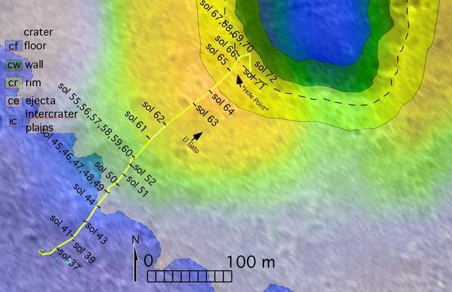
To Bonneville and Beyond
2004-03-18 · NASA Image and Video Library

Bonneville
2004-03-15 · NASA Image and Video Library
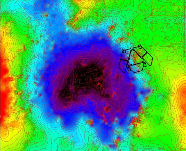
Adjusted Local Topography Map of Spirit Surroundings
2009-11-12 · NASA Image and Video Library

Variations in Soft Soil of Troy False Color
2009-06-25 · NASA Image and Video Library
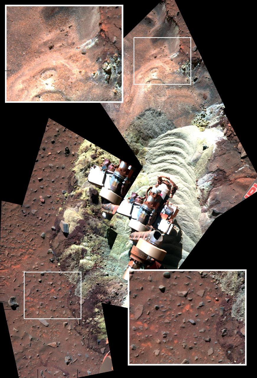
Soil Disturbed by Spirit Drives Before Fourth Martian Winter False Color
2010-10-28 · NASA Image and Video Library
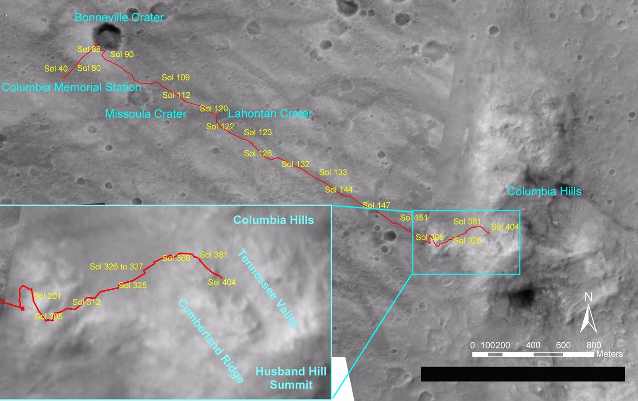
Spirit Traverse Map, Sol 404
2005-02-26 · NASA Image and Video Library
Lahontan Crater Looms 3-D
2004-06-03 · NASA Image and Video Library
Spirit Lander and Bonneville Crater in Color
2012-02-08 · NASA Image and Video Library