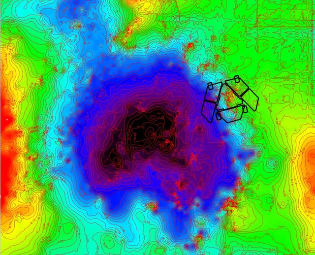
Adjusted Local Topography Map of Spirit Surroundings
A depression called Scamander Crater, dominates the terrain near NASA Mars Exploration Rover Spirit in this map that emphasizes local topography by removing the regional tilt to the northwest.
- Date
- 2009-11-12
- Photographer / author
- NASA/JPL-Caltech/Ohio State University
- Collection
- JPL
- Archive
- NASA Image and Video Library
- Type
- photograph
Public domainsafest
Reason: a NASA work: not copyrighted in the United States.
Read from: NASA media usage guidelines: NASA material is not copyrighted in the US unless noted; no third-party credit or mark found.
Credit line
"Adjusted Local Topography Map of Spirit Surroundings" (2009-11-12). NASA/JPL/NASA/JPL-Caltech/Ohio State University. Public domain. https://images.nasa.gov/details/PIA12353Need photos for a whole script? Add Find Any Photo to Claude and ask for this one by its id: 22843.
More like this

Temperature Map, "Bonneville Crater" (1:35 p.m.)
2004-05-17 · NASA Image and Video Library
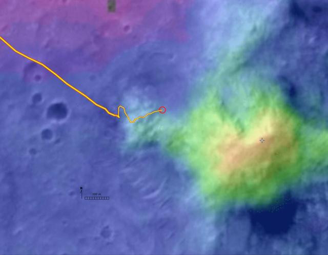
Digital Elevation Map of Spirit Trek
2004-12-08 · NASA Image and Video Library
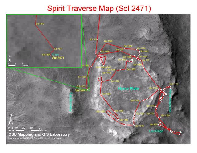
Spirit Traverse Map, Sol 2471
2010-12-17 · NASA Image and Video Library
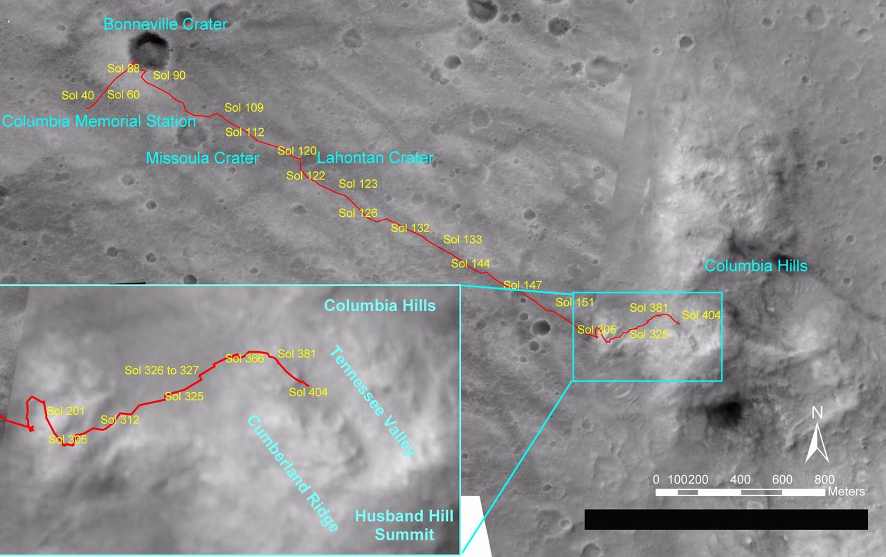
Spirit Traverse Map, Sol 404
2005-02-26 · NASA Image and Video Library
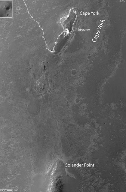
Opportunity Heads Toward Next Destination, Solander Point
2013-05-17 · NASA Image and Video Library

Variations in Soft Soil of Troy False Color
2009-06-25 · NASA Image and Video Library
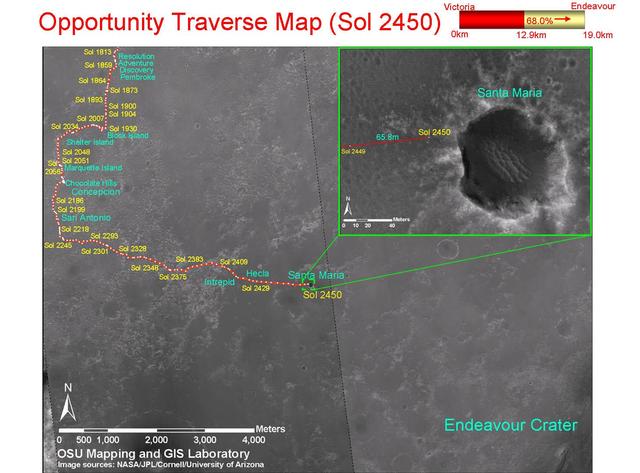
Opportunity Traverse Map, Sol 2450
2010-12-17 · NASA Image and Video Library
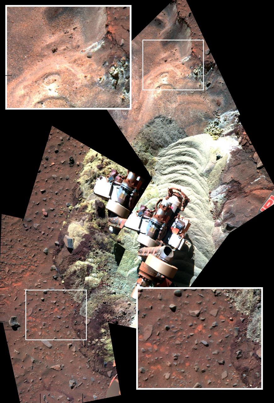
Soil Disturbed by Spirit Drives Before Fourth Martian Winter False Color
2010-10-28 · NASA Image and Video Library